历史遗址
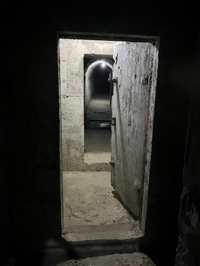
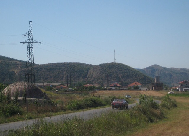
Albania's Bunkers
Roughly 170,000 concrete pillboxes built under Enver Hoxha — the most visible physical legacy of the communist state.
🧭 引导视图
初次了解阿尔巴尼亚?每个页面均以通俗易懂的说明开篇——即便是十岁的孩子也能读懂——随后再展开详细内容。
⚡ 专业视图
您已掌握基础知识。直接进入正题,简明解释默认隐藏。此为默认模式。
探索
Atlas收录的所有地点。可按类型、county或主题筛选。
Roughly 170,000 concrete pillboxes built under Enver Hoxha — the most visible physical legacy of the communist state.
An Illyrian hill city whose stadium — cut into the slope — is among the best preserved in the region.
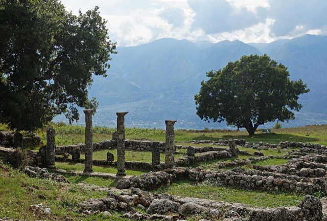
A short-lived Epirote city founded by King Pyrrhus and burned by Rome in 167 BC.
A Corinthian colony that became a Roman university town — Octavian was studying here when Caesar was killed.
A hilltop monastery on the Myzeqe plain where, by tradition, Skanderbeg was married in 1451.
The road head for the Valbona valley, named after a guerrilla leader of the 1920s.
The seat of Mallakastër and the site of Albania's main oil refinery, near the ruins of Byllis.
A hill town surrounded by more than eighty small lakes and extensive olive groves.
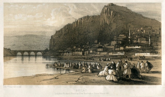
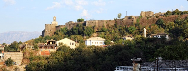
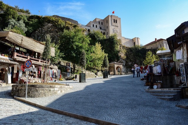
The 'city of a thousand windows': an Ottoman hill town under a still-inhabited castle, UNESCO-listed since 2008.
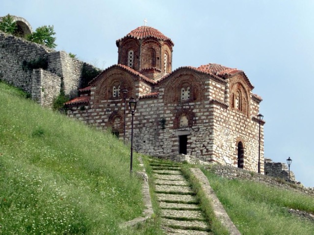
A fortress people still live inside, holding some twenty churches and the Onufri icon museum.
An inland county of vineyards, the Osum canyon and a UNESCO-listed hill town.
The seat of Devoll municipality, on the Greek border in an apple-growing plain.
A cold spring-fed fall and pool in the Tomorr foothills near Berat.
At roughly 7 km, the longest single beach on the Riviera, backed by one of Albania's largest olive groves.
Tirana's drinking-water reservoir, ringed by limestone cliffs half an hour from the capital.
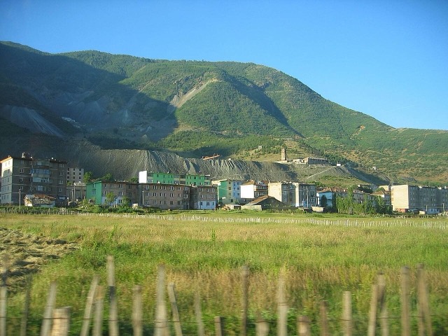
A chromium mining town — Albania is among the world's larger chrome producers.
A five-storey anti-nuclear bunker built for the communist leadership, opened to the public in 2014.
The seat of Mat municipality in the central highlands, near the Mat river dams.
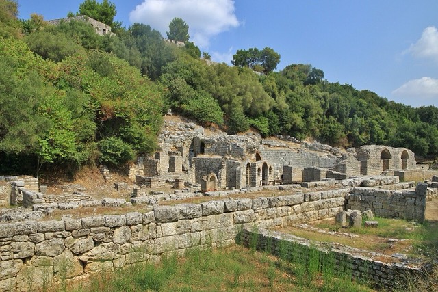
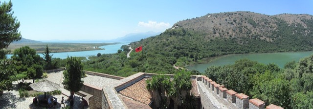
A Greek, Roman, Byzantine, Venetian and Ottoman city layered on one wooded peninsula — Albania's first UNESCO site.
A wetland and forest park wrapped around the archaeological city, on the Vivari channel.
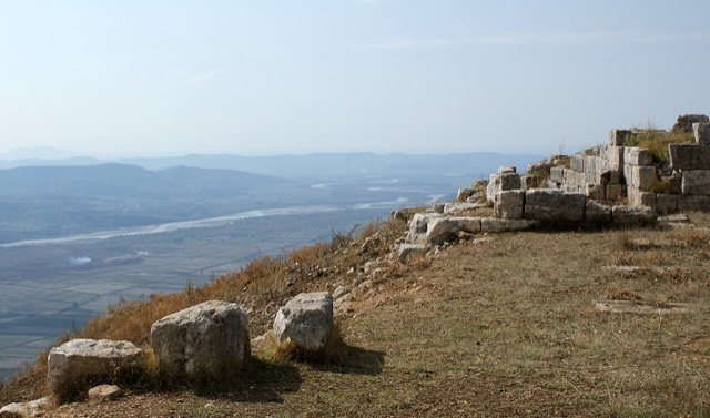
The largest Illyrian city yet excavated, on a plateau above the Vjosa with five early Christian basilicas.
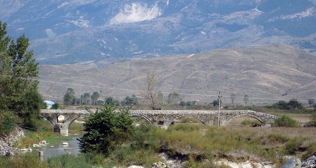
Sulphur pools beside the Ottoman Katiu bridge, at the mouth of the Lengarica canyon.
The coastal ridge that makes the Riviera: 2,000 m peaks rising directly out of the Ionian.
A town founded around an oil refinery in the 1950s.
A stone village at 1,340 m in the Morava mountains, one of Albania's small ski destinations.
A hill town above the Sarandë plain with a mixed Albanian and Greek population.
An old white village on the slope above one of the Riviera's longest pebble beaches.
A long white pebble shore under the Ceraunian ridge, and the Riviera's main nightlife strip.
Albania's mountain interior on the North Macedonian border, containing Mount Korab.
The town beside the Karavasta lagoon and the pine forest of the national park.
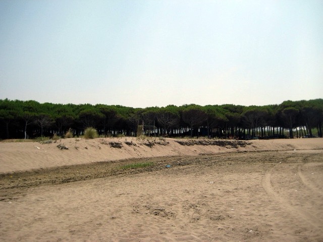
Coastal pine forest, dunes and lagoon protecting the region's Dalmatian pelican colony.
A valley of villages south of Gjirokastër with a large Greek-speaking population.
The pine-backed northern half of the Dhërmi bay, slightly quieter than the main strip.
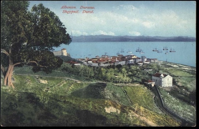
Albania's principal port and its oldest continuously inhabited city, founded as Epidamnos in 627 BC.
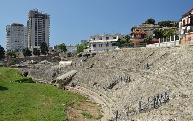
The largest Roman amphitheatre in the Balkans, found by accident in 1966 under the modern city.
A continuous sand strip running south from the city — the busiest beach in Albania by visitor numbers.
Byzantine sea walls raised under Anastasius I, later strengthened by Venice and the Ottomans.
The country's smallest county by area and its main gateway: the biggest port, the longest sandy beach.
A central industrial city inside an Ottoman fortress wall, on the old Via Egnatia.
An Ottoman fortress built on a Roman site, with a living town inside its walls.
A central industrial and agricultural county on the Shkumbin river, historically the road east.
The highest town in Albania, seat of Kolonjë municipality below Mount Gramos.
The small mosque on Skanderbeg Square whose frescoes of trees and waterfalls are unusual in Islamic art.
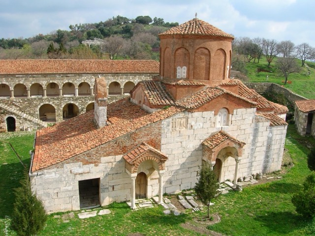
The service town of the oil and farming plain, next to the ruins of Apollonia.
The agricultural and oil-producing plain of the south-west, with the ancient city of Apollonia.
A hidden cove with a sea cave, most easily reached by boat from Himarë.
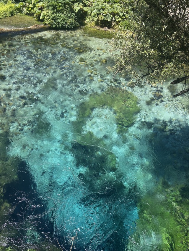
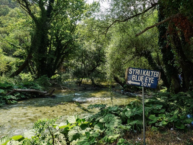
A municipality of villages near Sarandë, containing the Blue Eye and the ancient site of Phoenice.
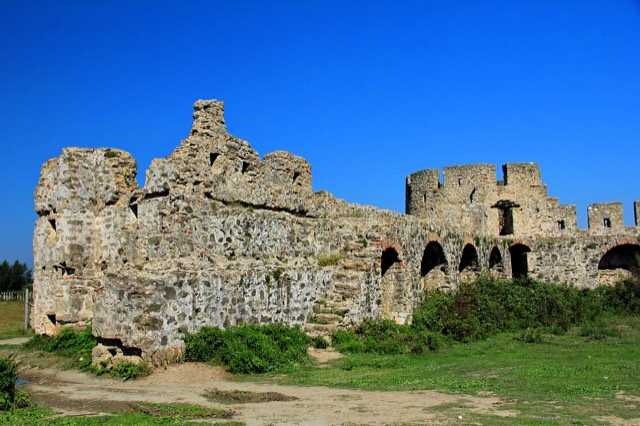
A rare rectangular lowland fortress built by Venice to guard a river port on the Shkumbin.
A small timber and mining town in the northern highlands.
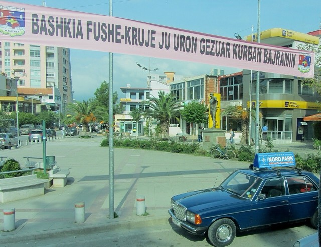
The industrial town on the plain below Krujë, and the site of Albania's largest cement works.
A sheltered arc on the Rodon cape, below Skanderbeg's coastal castle.
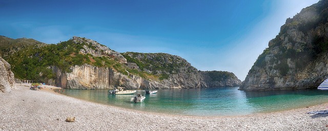
A pebble beach at the mouth of a limestone canyon, reachable only on foot or by boat.
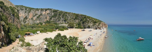
A narrow limestone slot that meets the sea at Gjipe beach — the Riviera's one true canyon.
The 'stone city': slate-roofed tower houses on a steep slope beneath one of the Balkans' largest castles.
One of the largest castles in the Balkans, holding an artillery gallery and a captured US aircraft.
The southern mountain county of the Drino and Vjosa valleys, with a UNESCO stone city.
The busiest stretch of the central sandy coast, immediately south of Durrës.
The continuation of the Durrës sand south past Qerret and Mali i Robit.
A remote bay on the Karaburun peninsula whose cliffs carry Greek and Latin inscriptions cut by ancient sailors.
A mountain town on the Devoll river, once the site of a large arms plant.
A 25–30 m fall in the Theth valley, and a declared natural monument.
The centre of the Riviera coast: a Greek-speaking historical community, an old hill village and a string of coves.
The former headquarters of the Sigurimi's technical surveillance branch, kept as it was found.
Two adjacent pebble coves below Vuno, long a summer-camping spot for young Albanians.
A deep, clear bay north of Sarandë, long the subject of a contested development.
A city on Tirana's northern edge that grew almost entirely from internal migration after 1991.
Albania's only marine national park: sea caves, wrecks and the country's clearest water.
The largest lagoon in Albania and the western Balkans' main breeding site for the Dalmatian pelican.
A market town behind the Adriatic dunes, near the wide beaches of Golem and Spille.
A Mat-valley town on the road between Burrel and the eastern mountains.
Albania's southernmost town, on the Greek border near the Butrint wetlands.
The seat of Malësi e Madhe, at the foot of the Alps near the Montenegrin border.
The highland city of serenades, the first Albanian-language school, and the country's oldest brewery.
A high south-eastern plateau of lakes and orchards, with a distinct café and brewing culture.
One of the least-developed larger coves on the southern Riviera.
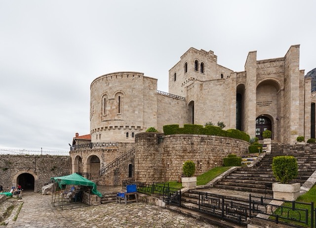
Skanderbeg's mountain stronghold, an old bazaar street, and the national museum of the resistance.
Skanderbeg's base, which held out against three Ottoman sieges and now houses the national museum of the resistance.
The seat of Has municipality in the north-eastern hills near Kosovo.
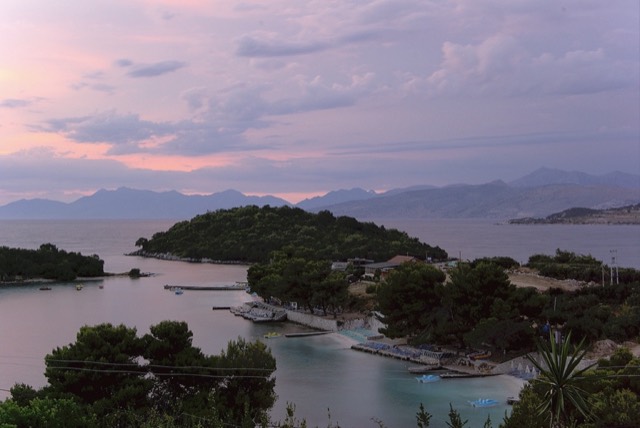
Four small islands and very clear shallow water; the most photographed and most crowded stretch of the Albanian coast.
Shallow, very clear water and four low islets a short swim offshore.
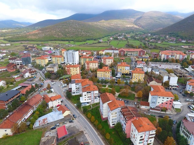
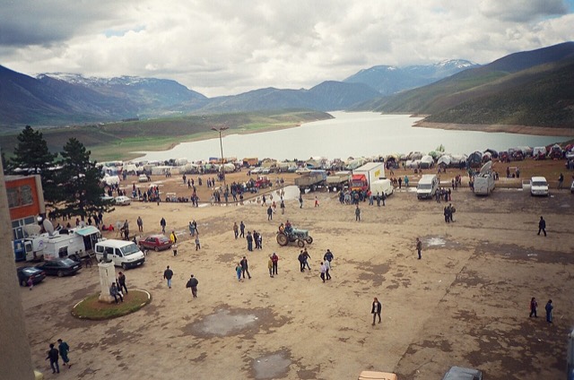
A town rebuilt above a reservoir in the 1970s, and the northern end of the Nation's Road.
The north-eastern highlands on the Kosovo border, the gateway to the Valbona valley.
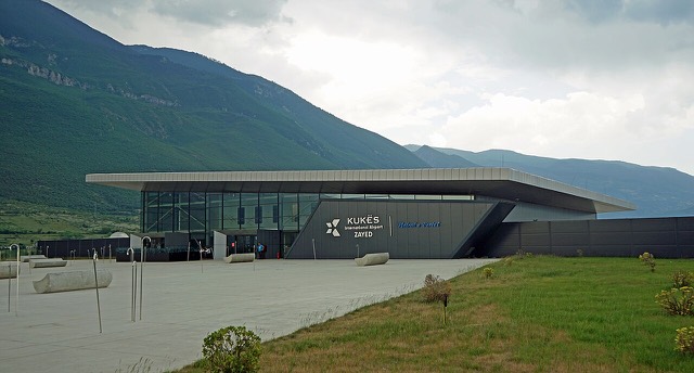
A small northern airport that opened to commercial flights in 2021, mainly serving the diaspora.
Lagoons, pine and one of Albania's few surviving coastal alluvial forests, beside Shëngjin.
An oil town and air base, called Qyteti Stalin from 1950 to 1990.
A town at the mouth of the Këlcyrë gorge on the Vjosa.
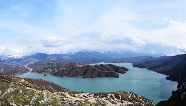
A 34 km reservoir in a gorge so narrow the ferry crossing is treated as a scenic journey in its own right.
One of Europe's oldest and deepest lakes, UNESCO-listed and home to species found nowhere else.
A high tectonic lake where Albania, Greece and North Macedonia meet, draining underground into Ohrid.
The largest lake in southern Europe, shared with Montenegro and a major bird wintering ground.
A pine-backed sand bay north of Durrës that has become Albania's main resort-property zone.
An industrial town and the site of the Saint Anthony pilgrimage church at Shëngjin i Vogël.
Where the Albanian princes swore their 1444 league, and where Skanderbeg is buried.
A short northern coast of lagoons and pine, backed by the copper country of Mirditë.
A hill town below a castle built by Ali Pasha for his sister, opposite Gjirokastër.
A Shkumbin-valley town at the gate of Shebenik-Jabllanicë National Park.
A peninsula village on Lake Ohrid with a 6th-century basilica floor mosaic and a prehistoric pile settlement.
Floor mosaics of birds and vines from a hilltop basilica above Lake Ohrid.
The broad bay immediately south of Himarë, the most developed beach on that stretch.
A pine-forested pass at 1,027 m where the road drops from mountain forest to the Ionian in a few kilometres.
A run of small coves — Bunec, Krorëz and Shpella — below the village of Lukovë.
A cluster of small glacial lakes among black pine on the Lurë ridge, badly damaged by logging and slowly recovering.
An agricultural centre on the Myzeqe plain, and the site of the 1920 congress that saved Albanian statehood.
At 2,694 m the highest peak entirely inside the Dinaric Alps, deep in the Albanian Alps.
The 2,045 m high point of the Ceraunian ridge, directly above the Riviera coast.
A town on a drained marsh plain, built around a sugar refinery in the 1950s.
The archive of the Balkans' oldest photographic studio — about 500,000 negatives from 1858 onward.
A former coal-mining town in the Vjosa valley.
A 108 m, thirteen-arch packhorse bridge over the Kir north-east of Shkodër.
Rock shelves and a small pebble strip where the water is unusually still.
Tirana's own mountain: 1,613 m, a national park, and a 4.2 km cable car from the city edge.
At 2,764 m the highest point in both Albania and North Macedonia, on the border ridge.
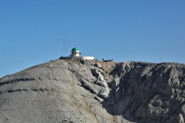
A 2,416 m massif above Berat, and the site of an annual Bektashi pilgrimage each August.
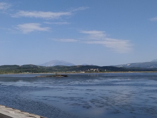
Albania's second-largest lagoon, with working saltpans and the island monastery of Zvërnec.
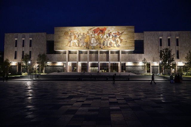
Albania's principal museum, under the Skanderbeg Square mosaic mural known as 'The Albanians'.
A marina town at the foot of Llogara, beside the ancient harbour of Oricum.
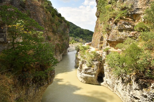
A 26 km limestone gorge up to 80 m deep, run by raft in spring and walked in late summer.
The first Riviera beach south of the Llogara pass, below the road's most dramatic descent.
The centre of the Patos-Marinza field, the largest onshore oil field in continental Europe.
A small town on the Shkumbin at a crossing point used since Roman times.
The seat of Dibër County, known for thermal springs and the high pastures below Mount Korab.
A small triangular castle on a wooded crag above the Erzen, half an hour from Tirana.
A lakeside town on Ohrid, a UNESCO natural and cultural site shared with North Macedonia.
A small town below Mount Tomorr built around a former arms factory.
The country's main commercial and passenger port, handling the large majority of Albanian seaborne trade.
A small passenger port whose Corfu crossings are the busiest sea route into southern Albania.
A small northern cargo port beside the resort beach.
Albania's second passenger port, with a seasonal fast link to Brindisi.
A near-enclosed bay wrapped around Ali Pasha's triangular fortress on its own peninsula.
A triangular fortress on a causeway peninsula, built for Ali Pasha of Tepelena.
A compact bay just north of Himarë, backed by cliffs and olive slopes.
The Albanian share of a three-country park around the Great and Small Prespa lakes.
A compact hill castle between Tirana and the airport, with a view over the whole plain.
A former nickel-mining town on the road to Lake Ohrid.
A forested highland town on the old road north, at about 830 m.
A small cove between Sarandë and Ksamil, reached by a rough track.
A lakeside municipality on Lake Prespa with a recognised Macedonian minority.
A small Vjosa-side town known for its fruit preserves, thermal baths and polyphonic singing.
A half-abandoned upper village of stone houses above a quiet shingle bay.
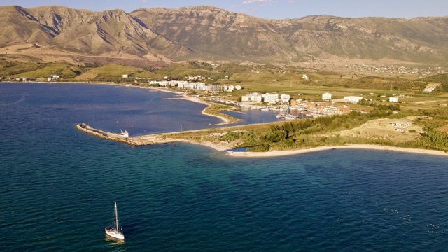
The sheltered eastern shore of the Bay of Vlorë, facing the Karaburun peninsula.
A small agricultural town in the Fier oil and farming belt.
The rock fortress above the meeting of three rivers, and the setting of Albania's best-known legend.
A junction town on the Shkumbin near the Bashtovë fortress and the Spille beaches.
The seat of Mirditë, historic centre of Albania's copper mining region.
The Ionian resort town facing Corfu, and the arrival point for most visitors to southern Albania.
A bitumen-mining town inland from Vlorë, worked since antiquity.
Old-growth beech forest on the North Macedonian border, part of a UNESCO-listed primeval forest network.
A market town between Durrës and Tirana with a long-established Roma and Egyptian community.
The cultural capital of the north: a lake, a fortress, a bicycle city and a Catholic heartland.
The north-west: the largest lake in southern Europe, the Albanian Alps and the Drin gorge.
A northern beach resort and small commercial port backed by the Kune-Vain pine lagoons.
The main northern resort beach, with the Kune-Vain pine and lagoon reserve alongside.
The museum of the 15th-century resistance, built inside Krujë Castle by Enver Hoxha's daughter and son-in-law.
A quieter sand beach south of Kavajë, backed by farmland rather than hotels.
Ali Pasha's birthplace, at the confluence of the Vjosa and the Drino.
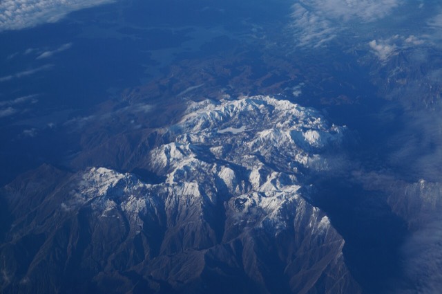
The limestone wall of the far north — locally the Accursed Mountains — shared with Montenegro and Kosovo.
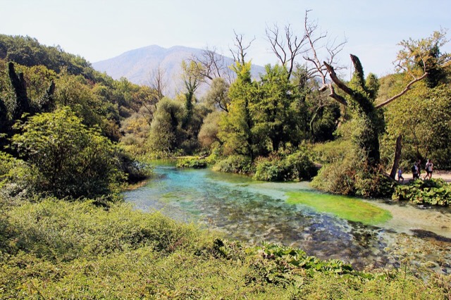
A karst spring of extraordinary clarity whose bottom has never been definitively reached.
The short outflow of Lake Shkodër, and Albania's only navigable river.
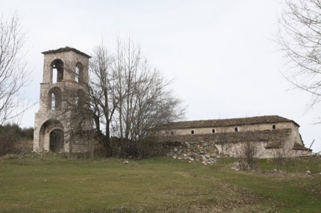
Six surviving basilicas of a town that once rivalled any city in the Balkans, covered inside with frescoes.
Albania's longest river and the backbone of its electricity system, dammed three times in the north.
The river that carved the Osum canyon and runs through the middle of Berat.
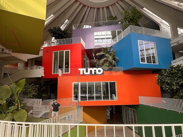
Built as Enver Hoxha's mausoleum-museum, later a nightclub and NATO base, reopened in 2023 as a youth technology…
A tributary of the Drin above Koman, reached by boat and often called Albania's Thailand.
The river that splits Albania in two — the historic dividing line between Gheg and Tosk.
One of the last large free-flowing rivers in Europe, declared a Wild River National Park in March 2023.
A glacial valley village in the Albanian Alps: a lock-in tower, a waterfall, and one end of the country's best-known…
The glacial valley park at the heart of the Albanian Alps, merged into a wider protected complex in 2022.
The capital: a fast-changing city of painted blocks, Ottoman survivals and new towers, under Mount Dajti.
Albania's principal airport, 17 km north-west of Tirana — for years the country's only functioning civil airport.
The capital county: roughly a third of the country's people, its jobs and its universities.
Vlorë's own beach quarter, named for the cold springs that surface there.
A market town on the Osum in the Berat plain.
A broad U-shaped glacial valley of white gravel and beech forest under the Alps' highest peaks.
A wide white riverbed under 2,500 m peaks; the eastern end of the Theth trek.
The town beside the lowest dam of the Drin cascade, east of Shkodër.
A wide, shallow sand beach at the Buna river mouth, with a protected lagoon reserve.
A very shallow, wide sand beach at the Buna delta, beside a protected lagoon.
Declared in March 2023, Europe's first national park built around a whole free-flowing river system.
A new airport under construction on the Narta lagoon edge, intended to serve the southern coast.
Where the Adriatic meets the Ionian, and where Albanian independence was declared in 1912.
The long southern coast: the Albanian Riviera, the Karaburun peninsula and the Corfu channel.
A road and rail junction between Tirana, Durrës and the airport.
In the 18th century one of the largest towns in the Balkans; today a village of frescoed churches.
A steep stone village between Dhërmi and Himarë, above Jal and Gjipe.
The seat of Skrapar municipality and the base for the Osum canyon.
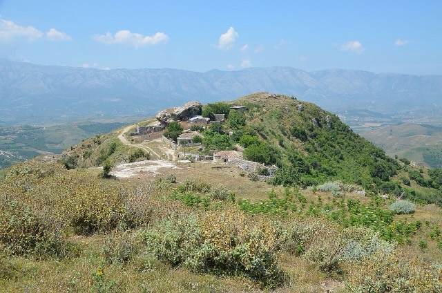
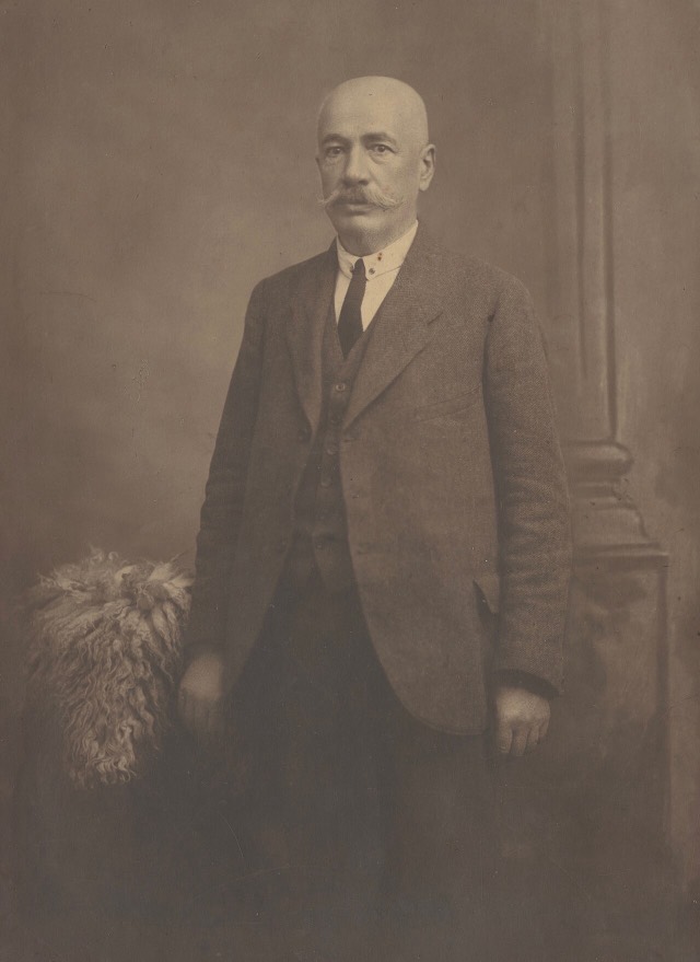












![Title: A chief of Thethi, Tribe of Shale [i.e. Shala], Albania Abstract/medium: 1 photographic print.](/static/img/thumbs/theth-4.jpg)