Mountain range · Vlorë
Ceraunian Mountains
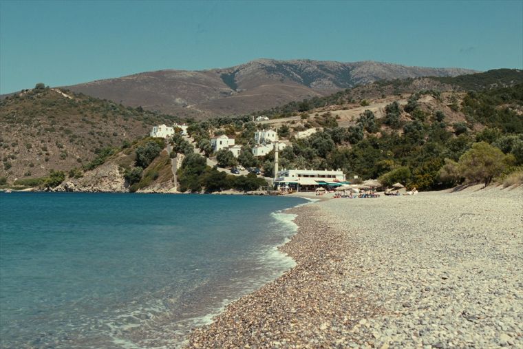
The coastal ridge that makes the Riviera: 2,000 m peaks rising directly out of the Ionian.
Every county, coast and century
Guided view
New to Albania? Every page opens with a plain-language explanation you could read to a ten-year-old, before the detail begins.
Expert view
You already know the basics. Straight to the substance, with the simple explanations hidden. This is the default.
Town · Vlorë County
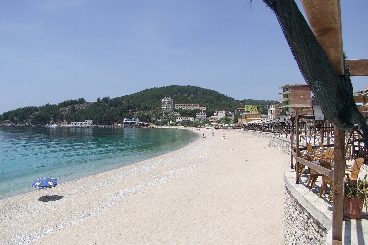
The centre of the Riviera coast: a Greek-speaking historical community, an old hill village and a string of coves.
Save
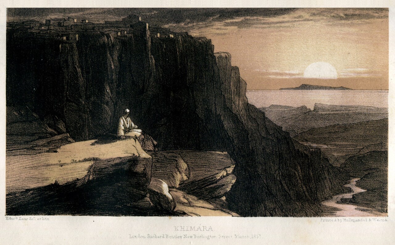
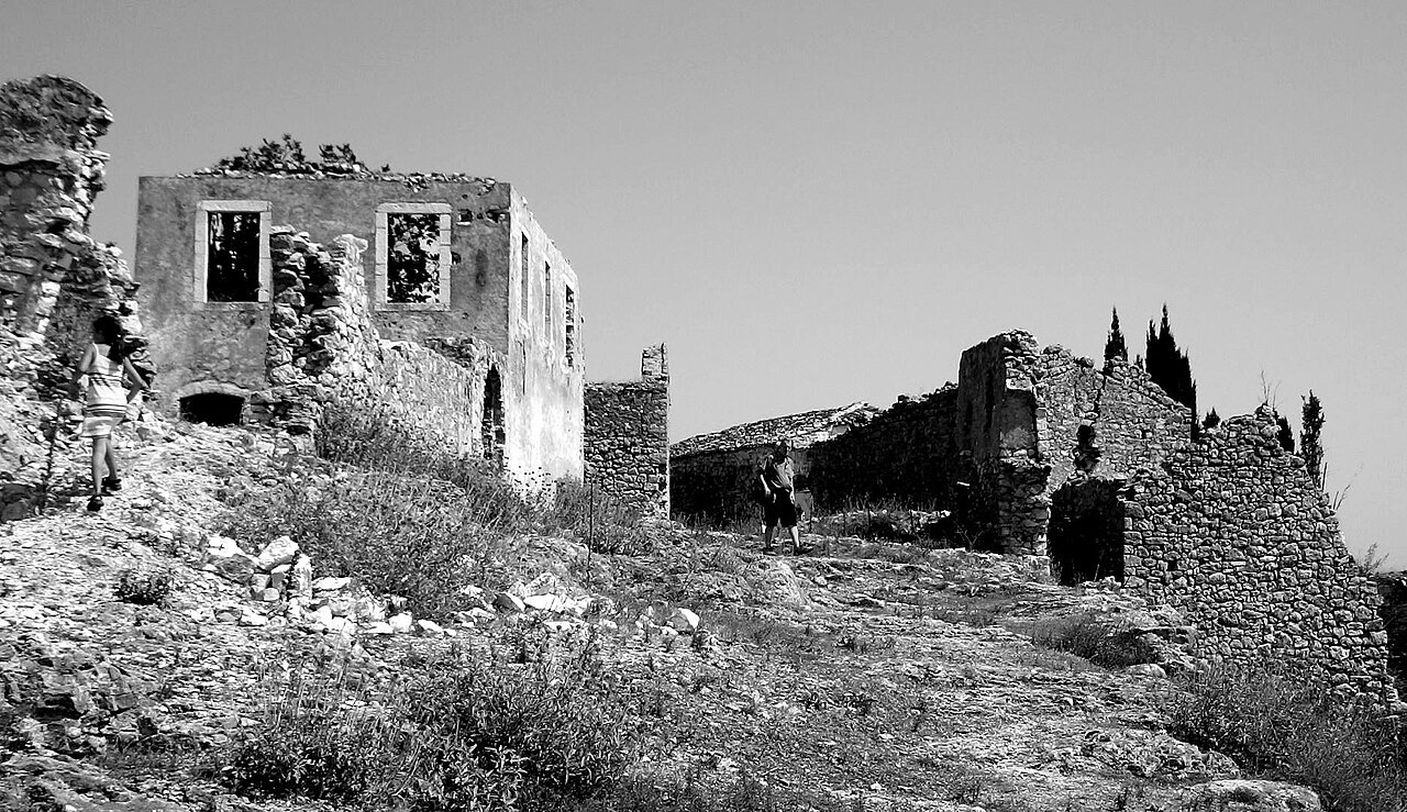
Himarë is a town on the Riviera between the mountains and the sea. There is a new town by the water and an old village up the hill with a castle. Many families here speak Greek as well as Albanian.
Himarë is a town on the Riviera between the mountains and the sea. There is a new town by the water and an old village up the hill with a castle. Many families here speak Greek as well as Albanian.
Himarë is a municipality and region in Vlorë County, southern Albania, covering a total area of 571.94 km² (220.83 sq mi). It lies between the Ceraunian Mountains and the Albanian Ionian Sea Coast and forms part of the Albanian Riviera. The municipality comprises three administrative units: Himarë, Horë-Vranisht and Lukovë, merged into a single municipality in 2015. The seat of the municipality is the town of Himarë.
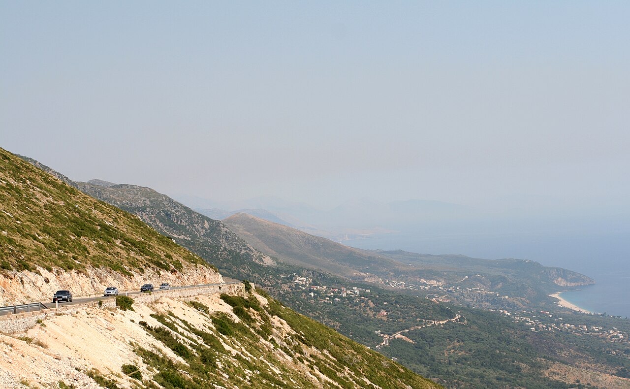
The coastal strip historically identified as the Himarë region is approximately 20 km long by 5 km wide, covering 132.13 km², bounded by the 2,000-metre-high Ceraunian mountains to the northeast and the Ionian Sea to the southwest. The terrain includes long pebbled beaches, with hills near the sea terraced and planted with olive and citrus trees. The traditionally perceived borders of the region shrank during the Ottoman period, eventually reduced to the town of Himarë and a handful of coastal villages — Palasë, Dhërmi, Pilur, Kudhës, Vuno, Iljas and Qeparo.
The town itself is divided into the old town of Kastro, situated on and around a hilltop castle, and the coastal district of Spilea, which functions as the commercial and tourist centre. Other districts include Potami, Livadhi, Zhamari, Michaili and Stefaneli. To the north lie the villages of Vuno, Ilias, Dhërmi and Palasë; to the south, Qeparo. The mountain villages of Pilur and Kudhës are located further inland.
In antiquity the region was inhabited by the Chaonians, one of the three principal Greek-speaking tribes of Epirus, alongside the Thesprotians and the Molossians. The town is believed to have been founded as Chimaira (Χίμαιρα) by the Chaonians as a trading outpost on the Chaonian shore, though an alternative etymology derives the name from the Greek χείμαρρος (cheimarros), meaning 'torrent'.
An oracular lamella from the Oracle of Dodona, dated to the first half of the 4th century BCE and written in the Doric Greek dialect, carries the inscription 'περὶ τᾶς οἰκήσιος τᾶς ἐγ Χεμαρίων πότερον αὐτεῖ οἰκέωντι;', translated as 'regarding the settlement by the inhabitants of Himarë, [they submit the question] should (or can) they settle here?'. In classical antiquity the area formed part of the Kingdom of Epirus under the Molossian Aeacid dynasty, which included King Pyrrhus of Epirus. When the Roman Republic conquered the region in the 2nd century BCE, settlements were badly damaged and some destroyed by the Roman general Aemilius Paulus.
Following the fall of Rome, Himarë passed into the Byzantine Empire and became the frequent target of successive attackers including the Goths, Avars, Slavs, Bulgars, Saracens and Normans. The historian Procopius of Caesarea, writing in his Buildings (544 CE), mentions Chimaeriae as part of Old Epirus and records that a new fortress was built there. In 614 the Slavic tribe of the Baiounetai invaded and held a territory from Himarë to Margariti, called 'Vagenetia'.
A local diocese of Cheimara was recorded in a Byzantine Taktikon of the late 10th century (972–976), placed under the Metropolitan bishopric of Nicopolis. The name 'Chaonia' in reference to the region apparently disappeared by the 12th century, the last time it is recorded being in a Byzantine tax document. In 1278 Nicephorus of Epirus surrendered the ports of Himarë, Sopot and Butrint to the Angevins, giving Charles of Anjou control of the Ionian coast between those two points; the area is believed to have returned to Byzantine rule after the Battle of Berat in 1281.
Himarë was subsequently ruled by the Serbian Empire between 1342 and 1372. In 1372 the town, together with Vlora, Kanina and the Berat region, was given as a dowry to Balsha II on his marriage to Comita Muzaka, daughter of Andrea II Muzaka. After Balsha II's death, his widow and daughter Rugjina Balsha retained possession until 1417, when the Ottomans captured Vlora. Although Byzantine political control was lost in the 14th century, the local bishop continued to operate under the jurisdiction of the Orthodox Patriarchate of Constantinople.
In 1431 Himarë became a nahiye — an Ottoman administrative subdivision — of the Sanjak of Albania. Himariots participated in Skanderbeg's resistance against the Ottoman Empire, and the region fell within the Principality of Arianiti between 1443 and 1462. Sultan Suleiman the Magnificent personally led an expedition in 1537 that destroyed or captured many surrounding villages but failed to subdue the area. The Ottomans subsequently negotiated a series of privileges for the inhabitants: local self-government, the right to bear arms, exemption from taxes, the right to sail under their own flag into any Ottoman port, and the obligation to provide military service in wartime.
Despite these concessions, Himariots revolted repeatedly during the Ottoman–Venetian War (1537–40), the Albanian revolt of 1566–1571, the Ottoman–Venetian War (1570–73), the Morean War (1684–99), the Ottoman–Venetian War (1714–18) and the Russo-Turkish wars of the 18th century. Ottoman reprisals depopulated the area and produced forced Islamisations, reducing the Christian population by the 18th century to the town of Himarë and six villages. In 1577, 38 chieftains appealed to Pope Gregory XIII for arms against the Ottomans, offering to transfer religious allegiance to Rome while retaining Orthodox liturgical customs.
The Ottoman taxation census of 1583 recorded the town of Himarë as having 130 households and 7 orphans. Dhërmi had 50 households and 3 orphans; Palasë had 95 households. Scholar Kristo Frashëri describes the listed names as predominantly Albanian in origin, while Oliver J. Schmitt notes that 16th-century Ottoman registers for Himarë include Albanian, Greek, Orthodox and Slavic baptismal names.
Local governance in the early 16th century rested with councils of village elders meeting at the locality of Spille near Qeparo. Certain villages held the hereditary right to a Kapedana — a military leader with recruitment responsibilities. The Spiromilio family held this position in Himarë, the Gjika family in Qeparo and the Kasneci family in Vuno. In 1743 Albanian families from Piqeras, Lukovë, Klikursi, Shën Vasil and Nivica-Bubar migrated to Italy and founded the village of Villa Badessa in Abruzzo, where the Arbëreshë dialect is still spoken.
In 1797 Ali Pasha, the Muslim Albanian ruler of the de facto independent Pashalik of Yanina, led a raid on the town of Himarë because its inhabitants had supported his enemies the Souliotes; more than 6,000 civilians were reported killed. Two years later Ali Pasha reversed course, financing public works and churches in an attempt to incorporate the enclave into his semi-independent state. A church he built near Himarë, opposite Porto Palermo (Panormos) Castle, is described in the article as the largest and most prominent in the region and remains standing. Ali Pasha's rule over Himarë lasted approximately twenty years until his murder by Ottoman agents.
Following the end of Ali Pasha's rule, the Himariots had the terms originally agreed with Suleiman the Magnificent inscribed on bronze tablets at their leaders' request; these tablets are preserved in the Topkapi palace museum in Istanbul. When the Greek War of Independence broke out in 1821, many Himariots — veterans of the Russian and French armies — joined the revolutionary forces in southern Greece. In 1854, during the Crimean War, a major local rebellion broke out with Himarë among the first towns to join it; the rebellion was suppressed by Ottoman forces within a few months.
Himara became the principal centre of the 'Epirote Society', founded in 1906 under Spyros Spyromilios, which sought to build a network between the Greek state and the Orthodox communities of Epirus. A demographic census conducted during the last year of Ottoman rule recorded 12,000 inhabitants in the Kaza of Himara.
On 18 November 1912, during the First Balkan War, the town revolted under Greek Gendarmerie officer and Himarë native Spyros Spyromilios, expelling Ottoman forces with the aim of joining Greece. In March 1914 the Protocol of Corfu established the Autonomous Republic of Northern Epirus, of which Himarë formed a part, though the Autonomous Republic formally remained within the newly created Albanian state. At the Panepirotic assembly in Delvinë convened to ratify the Protocol, the delegates of Himarë abstained, insisting that only union with Greece was a viable solution.
During the First World War, Himarë was under Greek administration from October 1914 to September 1916, then occupied by Italy. The Italians used Austro-Hungarian prisoners of war to construct a road through the region, substantially reducing its isolation. In 1921 the region came under the control of the Albanian state. The Albanian government's determination of the Himarë question that year concluded that Albanian was obligatory as the official school language while Greek could be taught as a voluntary second language.
Locals revolted in 1924 against measures aimed at Albanisation, demanding the reinstatement of pre-incorporation privileges. Further uprisings in 1927 and 1932 were suppressed by the government of King Zog. During the Greco-Italian War, the Greek Army's 3rd Infantry Division entered Himarë on 22 December 1940 after fighting against Italian forces in the region; the town remained briefly under Greek control until the German invasion of 1941.
The 2011 census recorded a combined resident population of approximately 7,800 across the three then-independent municipalities: Lukovë 2,916, Himarë 2,822 and Vranisht 2,080. The 2015 Albanian Civil Registry, which counts all Albanian citizens including those living abroad, put the municipality's population at 27,049 — the large discrepancy reflecting emigration to Greece and to larger Albanian cities. Himarë municipality has the second-lowest population density in Albania, after Dropull.
In the 2011 census for the former Himarë municipality, 60.38% declared themselves Albanian, 24.56% Greek and 14% declined to declare an ethnicity. The census results were disputed and affected by a boycott by part of the Greek minority; a $1,000 fine under Article 20 of the Census Law for declaring an ethnicity different from one recorded on a birth certificate was cited as a reason for the boycott. Researcher Mangalakova (2004) describes the ethnic composition as predominantly Greek, and scholar Karl Kaser states that the Greek population comprised a majority or at least a significant proportion. Between 1989 and 2011 approximately three-quarters of the region's population left.
The coastal town of Himarë and the villages of Dhërmi and Palasë are inhabited primarily by a Greek population, while Pilur, Kudhës, Vuno and Ilias are populated by Orthodox Albanians. Qeparo is inhabited by both communities. In the former Vranisht municipality, 83% declared themselves Albanian and the remainder did not reply. In Lukovë, a demographic investigation by Leonidas Kallivretakis found 54% Albanian Christians, 40% Albanian Muslims and 6% Greek Christians.
The majority of Greek-identified residents of Himarë speak a local Greek dialect — sometimes called Himariote — that preserves archaic features no longer present in standard Modern Greek, with minor variation between villages. The surrounding villages of Ilias, Vuno, Qeparo, Kudhës and Pilur speak the Lab Albanian dialect, a subdialect of Tosk Albanian. Albanian is the state language; Greek functions as the language of religion and high culture. Between 1946 and 1990 the Greek population of Himarë was prohibited from studying in Greek and relations with Greece were severed.
In the 2011 local elections Jorgo Goro, backed by a Socialist Party-led alliance, defeated incumbent Vasil Bollano of the Unity for Human Rights Party (PBDNJ), winning 41.97% to Bollano's 39.25%. Bollano had previously been accused of issuing building permits on his own property and was charged with abuse of power and falsification of documents. Goro was re-elected in 2015 with 55.6% of the vote and again in 2019 without opposition after the opposition boycotted the elections.
In the local elections of 15 May 2023, Greek minority candidate Dhionisios Alfred Beleri won by a narrow margin. Beleri had been arrested two days before the vote on charges of vote-buying, triggering diplomatic tensions between Albania and Greece. His appeal for pre-trial release in June 2023 was rejected. In March 2024, acting mayor Jorgo Goro was arrested on charges of corruption and abuse of office by Albania's Special Anti-Corruption Structure, with his alleged criminal activities linked to Artan Gaçi, husband of former Foreign Minister Olta Xhaçka. Following Goro's arrest and resignation, Blerina Bala was elected caretaker mayor by the municipal council.
Ethnic tensions have periodically escalated. On 12 August 2010, Greek shopkeeper Aristotelis Goumas was killed when his motorcycle was struck by a car driven by three Albanian youths following an altercation in which they had reportedly demanded he not speak Greek to customers. Locals blocked the main highway between Vlorë and Saranda in protest. In August 2015 Albanian authorities demolished the renovated Orthodox church of Saint Athanasius in Dhërmi, which had previously been demolished during the People's Republic era and rebuilt by the local Orthodox church after 1991. The demolition drew condemnation from the Orthodox Autocephalous Church of Albania, diplomatic protests from Greece and a reaction from the European Commission. The Albanian government subsequently promised to rebuild the church after archaeological excavations.
The warmest month is August (mean daily high 28°C), the coldest is January (mean daily low 6°C), and the wettest is November (254 mm). Total annual rainfall averages 1,618 mm. Sea temperature peaks in August at about 26°C.
| Month | High | Low | Rain | Wet days | Sun/day | Sea |
|---|---|---|---|---|---|---|
| January | 11°C | 6°C | 185 mm | 13 | 7.0 h | 17°C |
| February | 12°C | 6°C | 161 mm | 12 | 7.9 h | 15°C |
| March | 14°C | 8°C | 152 mm | 13 | 9.5 h | 15°C |
| April | 17°C | 11°C | 114 mm | 13 | 10.8 h | 16°C |
| May | 21°C | 15°C | 93 mm | 11 | 12.1 h | 19°C |
| June | 25°C | 19°C | 56 mm | 8 | 13.6 h | 24°C |
| July | 28°C | 22°C | 28 mm | 5 | 13.8 h | 26°C |
| August | 28°C | 22°C | 37 mm | 6 | 12.9 h | 26°C |
| September | 24°C | 18°C | 134 mm | 11 | 10.6 h | 26°C |
| October | 20°C | 15°C | 165 mm | 10 | 9.1 h | 25°C |
| November | 16°C | 12°C | 254 mm | 14 | 7.1 h | 21°C |
| December | 12°C | 8°C | 238 mm | 14 | 6.5 h | 18°C |
Source: ERA5 reanalysis via Open-Meteo, 1994–2023 · “High” and “Low” are mean daily maximum and minimum air temperature. “Wet days” counts days with at least 1 mm of precipitation.
Mountain range · Vlorë
The coastal ridge that makes the Riviera: 2,000 m peaks rising directly out of the Ionian.
Historic site · Vlorë
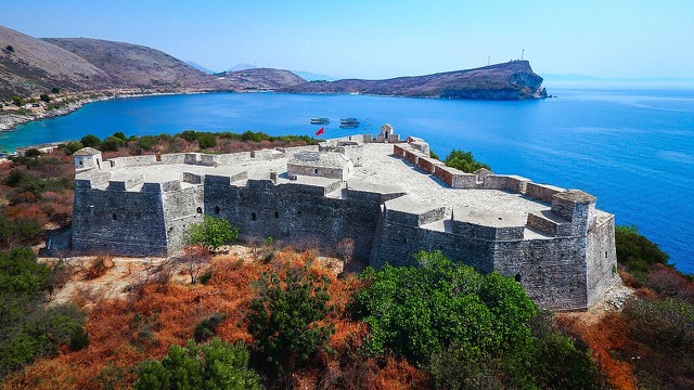
A triangular fortress on a causeway peninsula, built for Ali Pasha of Tepelena.
Subject · Vlorë
The 120 km of Ionian coast between the Llogara pass and Sarandë, where the Ceraunian mountains fall straight into the sea.
Beach · Vlorë
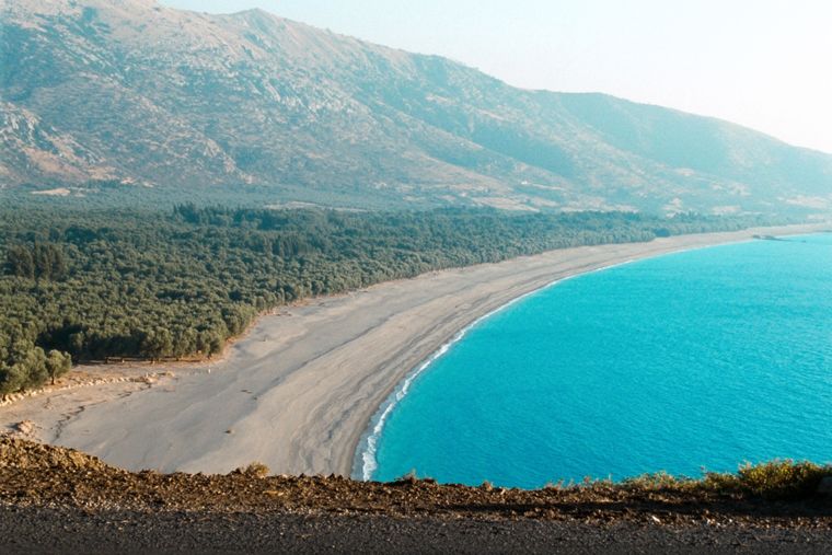
At roughly 7 km, the longest single beach on the Riviera, backed by one of Albania's largest olive groves.
Village · Vlorë
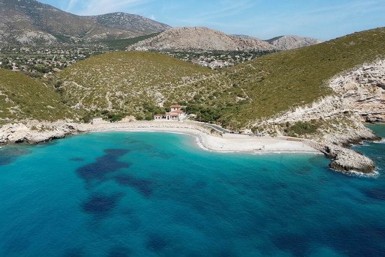
An old white village on the slope above one of the Riviera's longest pebble beaches.
Beach · Vlorë
A near-enclosed bay wrapped around Ali Pasha's triangular fortress on its own peninsula.
Beach · Vlorë
The broad bay immediately south of Himarë, the most developed beach on that stretch.
Protected area · Vlorë
A pine-forested pass at 1,027 m where the road drops from mountain forest to the Ionian in a few kilometres.
Guide
One road, roughly 120 km, and about twenty places to stop. What each of them is actually like.
Beach · Vlorë
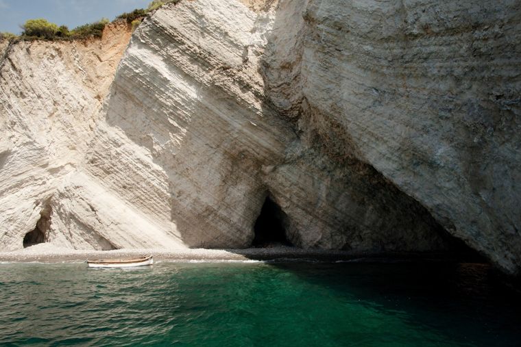
A hidden cove with a sea cave, most easily reached by boat from Himarë.
Comparison
The clearest water in Albania against the most liveable town on the Riviera.
Something wrong on this page? Corrections are welcome and are checked against the source record. Tell us what is wrong and, if you can, where the right figure comes from.