City · Shkodër
Shkodër
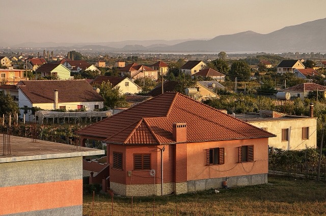
The cultural capital of the north: a lake, a fortress, a bicycle city and a Catholic heartland.
Every county, coast and century
Guided view
New to Albania? Every page opens with a plain-language explanation you could read to a ten-year-old, before the detail begins.
Expert view
You already know the basics. Straight to the substance, with the simple explanations hidden. This is the default.
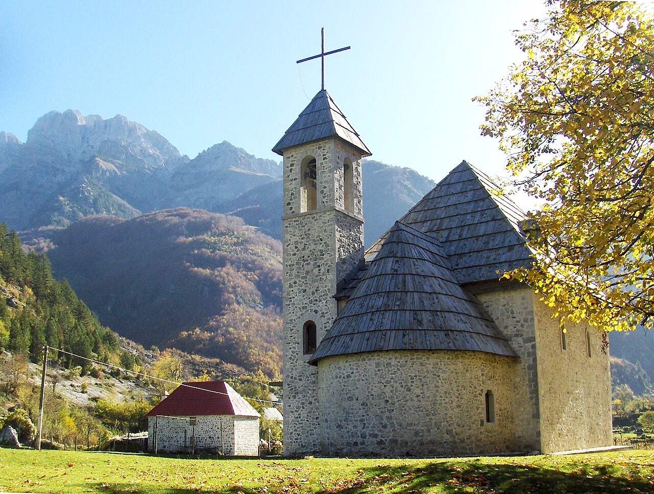
Village · Shkodër County
A glacial valley village in the Albanian Alps: a lock-in tower, a waterfall, and one end of the country's best-known trek.
Save
Theth is a village deep in the northern mountains. It has a small stone church, a waterfall, and a tower where men used to hide during blood feuds. A famous walking path crosses the mountains from here to Valbona.
Theth is a village deep in the northern mountains. It has a small stone church, a waterfall, and a tower where men used to hide during blood feuds. A famous walking path crosses the mountains from here to Valbona.
The warmest month is August (mean daily high 26°C), the coldest is January (mean daily low -2°C), and the wettest is December (272 mm). Total annual rainfall averages 1,946 mm.
| Month | High | Low | Rain | Wet days | Sun/day |
|---|---|---|---|---|---|
| January | 5°C | -2°C | 211 mm | 14 | 6.0 h |
| February | 6°C | -1°C | 190 mm | 13 | 7.0 h |
| March | 9°C | 1°C | 184 mm | 13 | 8.6 h |
| April | 13°C | 5°C | 156 mm | 16 | 9.7 h |
| May | 19°C | 10°C | 138 mm | 18 | 11.3 h |
| June | 23°C | 14°C | 92 mm | 16 | 13.0 h |
| July | 26°C | 16°C | 80 mm | 12 | 13.4 h |
| August | 26°C | 17°C | 66 mm | 12 | 12.5 h |
| September | 21°C | 13°C | 141 mm | 12 | 10.0 h |
| October | 17°C | 9°C | 156 mm | 11 | 8.4 h |
| November | 12°C | 5°C | 260 mm | 13 | 6.2 h |
| December | 6°C | 0°C | 272 mm | 14 | 5.6 h |
Source: ERA5 reanalysis via Open-Meteo, 1994–2023 · “High” and “Low” are mean daily maximum and minimum air temperature. “Wet days” counts days with at least 1 mm of precipitation.
![Title: A chief of Thethi, Tribe of Shale [i.e. Shala], Albania Abstract/medium: 1 photographic print.](/static/img/photos/theth-4.jpg)
City · Shkodër
The cultural capital of the north: a lake, a fortress, a bicycle city and a Catholic heartland.
River · Shkodër
A tributary of the Drin above Koman, reached by boat and often called Albania's Thailand.
Protected area · Shkodër
The glacial valley park at the heart of the Albanian Alps, merged into a wider protected complex in 2022.
Protected area · Kukës
A broad U-shaped glacial valley of white gravel and beech forest under the Alps' highest peaks.
Mountain range · Shkodër
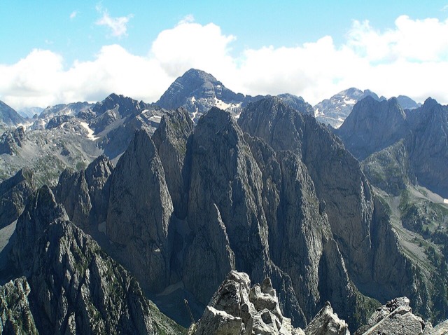
The limestone wall of the far north — locally the Accursed Mountains — shared with Montenegro and Kosovo.
Mountain · Shkodër
At 2,694 m the highest peak entirely inside the Dinaric Alps, deep in the Albanian Alps.
Town · Shkodër
The seat of Malësi e Madhe, at the foot of the Alps near the Montenegrin border.
Village · Kukës
A wide white riverbed under 2,500 m peaks; the eastern end of the Theth trek.
Food
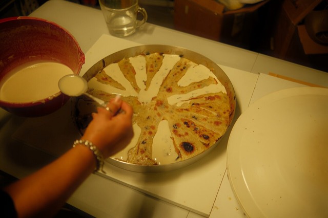
Concentric crepe layers built up one at a time under a hot metal lid — a northern highland dish that takes hours.
Subject
A body of customary law, best known in the Lekë Dukagjini recension, that governed the northern highlands for centuries.
Guide
The Alps, the Koman ferry and the Shkodër lake country: the part of Albania least like the coast.
Guide
Albania's best-known walk: roughly 17 km over a 1,795 m pass, six to eight hours, June to October.
Explainer
A body of customary law that governed the northern highlands for centuries — and the part of it that everyone has heard of.
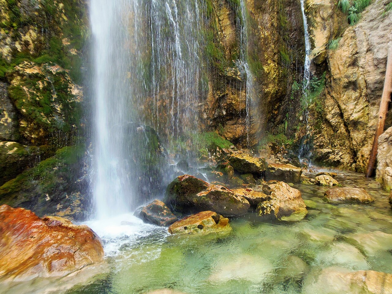
Waterfall · Shkodër
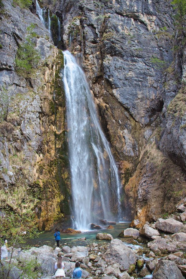
A 25–30 m fall in the Theth valley, and a declared natural monument.
Something wrong on this page? Corrections are welcome and are checked against the source record. Tell us what is wrong and, if you can, where the right figure comes from.