Protected area · Shkodër
Theth National Park
The glacial valley park at the heart of the Albanian Alps, merged into a wider protected complex in 2022.
Every county, coast and century
Guided view
New to Albania? Every page opens with a plain-language explanation you could read to a ten-year-old, before the detail begins.
Expert view
You already know the basics. Straight to the substance, with the simple explanations hidden. This is the default.
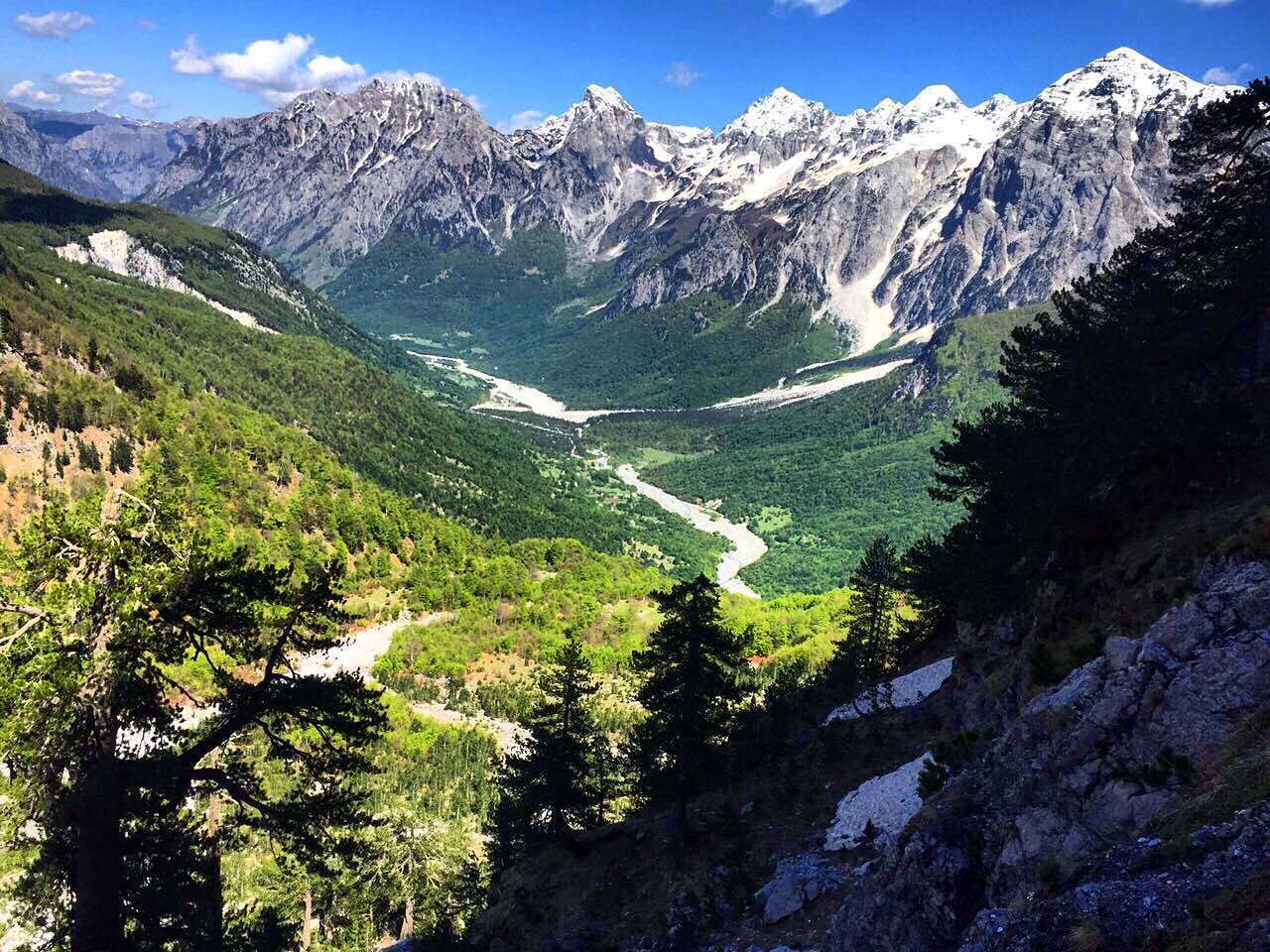
Village · Kukës County
A wide white riverbed under 2,500 m peaks; the eastern end of the Theth trek.
Save
Valbonë is a valley in the northern mountains with a wide, stony river and very steep peaks on both sides. Walkers cross a high pass between here and Theth.
Valbonë is a valley in the northern mountains with a wide, stony river and very steep peaks on both sides. Walkers cross a high pass between here and Theth.
The warmest month is August (mean daily high 25°C), the coldest is January (mean daily low -3°C), and the wettest is December (233 mm). Total annual rainfall averages 1,910 mm.
| Month | High | Low | Rain | Wet days | Sun/day |
|---|---|---|---|---|---|
| January | 3°C | -3°C | 187 mm | 13 | 6.2 h |
| February | 4°C | -2°C | 168 mm | 12 | 7.2 h |
| March | 8°C | 0°C | 163 mm | 14 | 8.9 h |
| April | 12°C | 4°C | 141 mm | 16 | 10.0 h |
| May | 18°C | 9°C | 148 mm | 18 | 11.4 h |
| June | 22°C | 13°C | 126 mm | 17 | 13.1 h |
| July | 25°C | 15°C | 118 mm | 15 | 13.4 h |
| August | 25°C | 16°C | 106 mm | 14 | 12.5 h |
| September | 20°C | 12°C | 155 mm | 14 | 10.1 h |
| October | 16°C | 8°C | 146 mm | 11 | 8.5 h |
| November | 10°C | 4°C | 219 mm | 13 | 6.5 h |
| December | 5°C | -1°C | 233 mm | 14 | 5.7 h |
Source: ERA5 reanalysis via Open-Meteo, 1994–2023 · “High” and “Low” are mean daily maximum and minimum air temperature. “Wet days” counts days with at least 1 mm of precipitation.
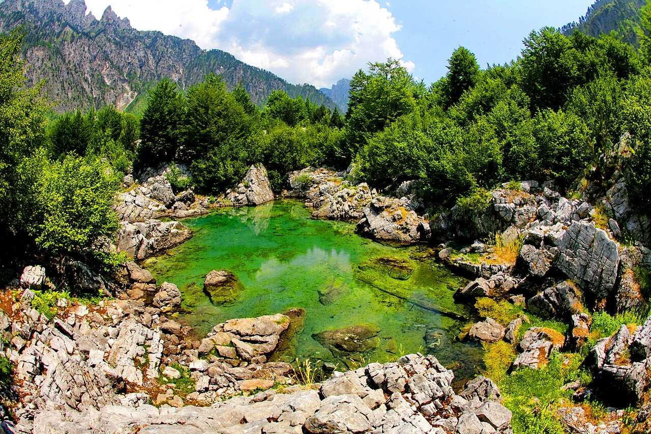
Protected area · Shkodër
The glacial valley park at the heart of the Albanian Alps, merged into a wider protected complex in 2022.
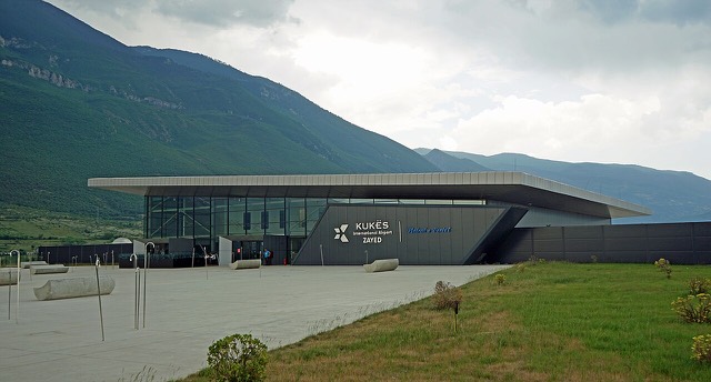
Airport · Kukës
A small northern airport that opened to commercial flights in 2021, mainly serving the diaspora.
Protected area · Kukës
A broad U-shaped glacial valley of white gravel and beech forest under the Alps' highest peaks.
Energy site · Kukës
The uppermost and largest of the Drin dams, creating a reservoir shared with Kosovo.
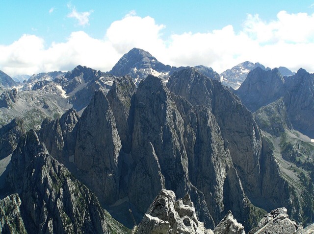
Mountain range · Shkodër
The limestone wall of the far north — locally the Accursed Mountains — shared with Montenegro and Kosovo.
Mountain · Shkodër
At 2,694 m the highest peak entirely inside the Dinaric Alps, deep in the Albanian Alps.
Town · Kukës
The road head for the Valbona valley, named after a guerrilla leader of the 1920s.
Village · Shkodër
A glacial valley village in the Albanian Alps: a lock-in tower, a waterfall, and one end of the country's best-known trek.
Guide
The Alps, the Koman ferry and the Shkodër lake country: the part of Albania least like the coast.
Guide
Albania's best-known walk: roughly 17 km over a 1,795 m pass, six to eight hours, June to October.
Something wrong on this page? Corrections are welcome and are checked against the source record. Tell us what is wrong and, if you can, where the right figure comes from.