Town
Bilisht
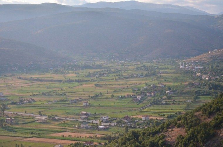
The seat of Devoll municipality, on the Greek border in an apple-growing plain.
🧭 Guided view
New to Albania? Every page opens with a plain-language explanation you could read to a ten-year-old, before the detail begins.
⚡ Expert view
You already know the basics. Straight to the substance, with the simple explanations hidden. This is the default.
Explore
Every place in the Atlas. Filter by type, by county or by theme.
The seat of Devoll municipality, on the Greek border in an apple-growing plain.
A central industrial and agricultural county on the Shkumbin river, historically the road east.
The service town of the oil and farming plain, next to the ruins of Apollonia.
The agricultural and oil-producing plain of the south-west, with the ancient city of Apollonia.
A market town behind the Adriatic dunes, near the wide beaches of Golem and Spille.
An agricultural centre on the Myzeqe plain, and the site of the 1920 congress that saved Albanian statehood.
A town on a drained marsh plain, built around a sugar refinery in the 1950s.
A small agricultural town in the Fier oil and farming belt.
A market town on the Osum in the Berat plain.