Plaats
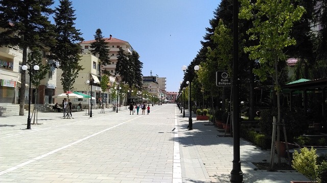
Bilisht
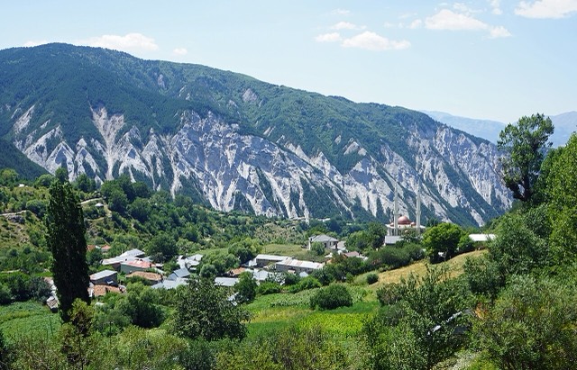
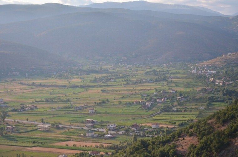
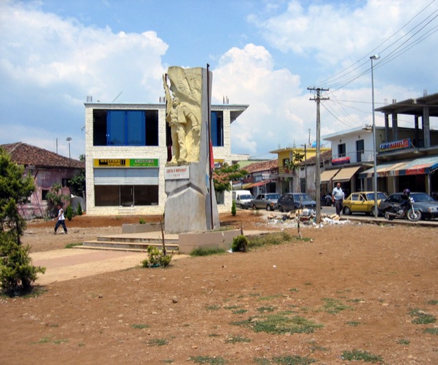
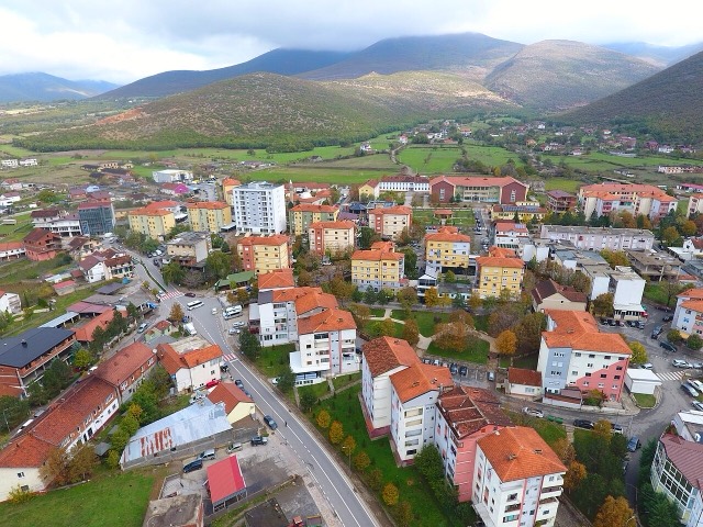
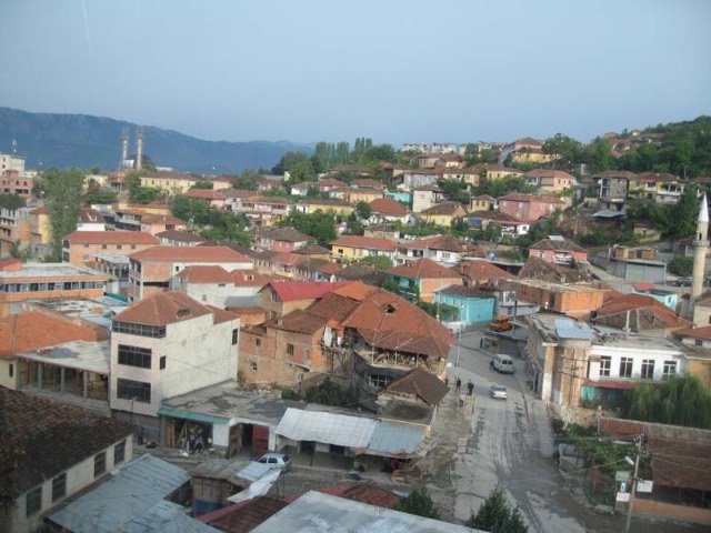
The seat of Devoll municipality, on the Greek border in an apple-growing plain.
🧭 Begeleidende weergave
Nieuw in Albanië? Elke pagina begint met een uitleg in eenvoudige taal die u aan een tienjarige zou kunnen voorlezen, voordat de details beginnen.
⚡ Expertweergave
U kent de basis al. Meteen naar de kern, met de eenvoudige uitleg verborgen. Dit is de standaardinstelling.
Verkennen
Elke plaats in de Atlas. Filter op type, op county of op thema.
The seat of Devoll municipality, on the Greek border in an apple-growing plain.
Albania's mountain interior on the North Macedonian border, containing Mount Korab.
A valley of villages south of Gjirokastër with a large Greek-speaking population.
The southern mountain county of the Drino and Vjosa valleys, with a UNESCO stone city.
Albania's southernmost town, on the Greek border near the Butrint wetlands.
The seat of Malësi e Madhe, at the foot of the Alps near the Montenegrin border.
The seat of Has municipality in the north-eastern hills near Kosovo.
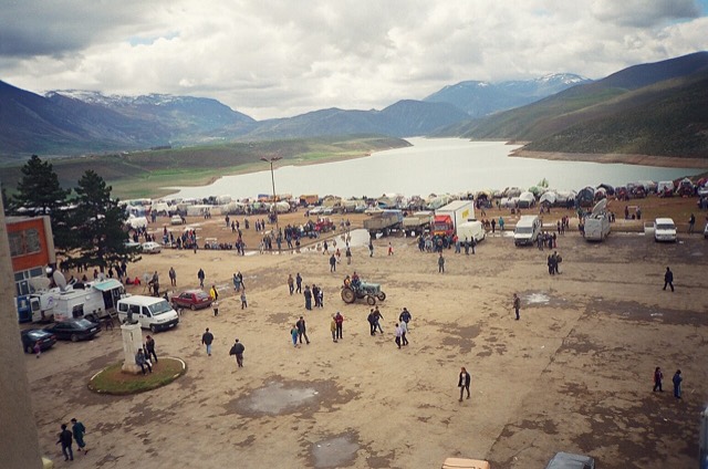
A town rebuilt above a reservoir in the 1970s, and the northern end of the Nation's Road.
The north-eastern highlands on the Kosovo border, the gateway to the Valbona valley.
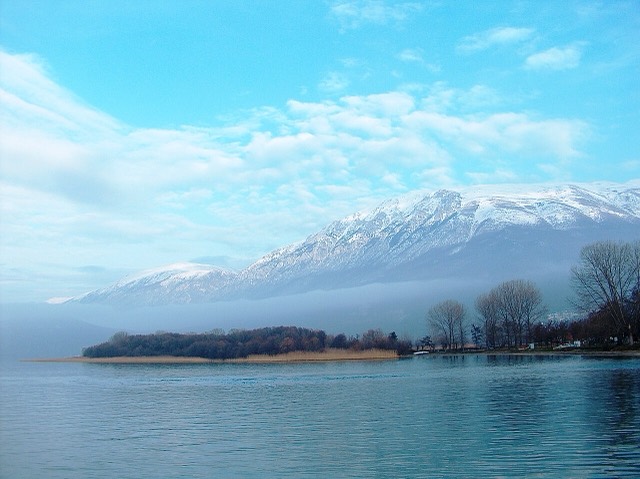
One of Europe's oldest and deepest lakes, UNESCO-listed and home to species found nowhere else.
A high tectonic lake where Albania, Greece and North Macedonia meet, draining underground into Ohrid.
The largest lake in southern Europe, shared with Montenegro and a major bird wintering ground.
At 2,764 m the highest point in both Albania and North Macedonia, on the border ridge.
The seat of Dibër County, known for thermal springs and the high pastures below Mount Korab.
The Albanian share of a three-country park around the Great and Small Prespa lakes.
A lakeside municipality on Lake Prespa with a recognised Macedonian minority.
The north-west: the largest lake in southern Europe, the Albanian Alps and the Drin gorge.
The short outflow of Lake Shkodër, and Albania's only navigable river.