Stad · Berat
Berat
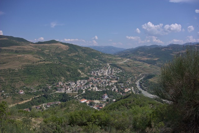
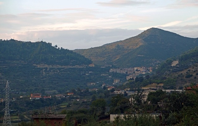
The 'city of a thousand windows': an Ottoman hill town under a still-inhabited castle, UNESCO-listed since 2008.
Elke provincie, elke kust, elke eeuw
Begeleidende weergave
Nieuw in Albanië? Elke pagina begint met een uitleg in eenvoudige taal die u aan een tienjarige zou kunnen voorlezen, voordat de details beginnen.
Expertweergave
U kent de basis al. Meteen naar de kern, met de eenvoudige uitleg verborgen. Dit is de standaardinstelling.
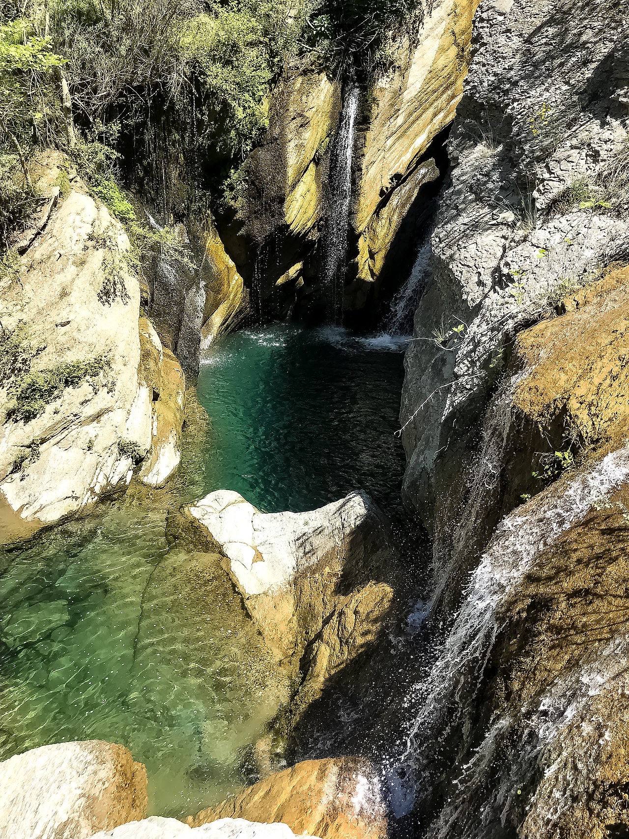
Waterval · Berat County
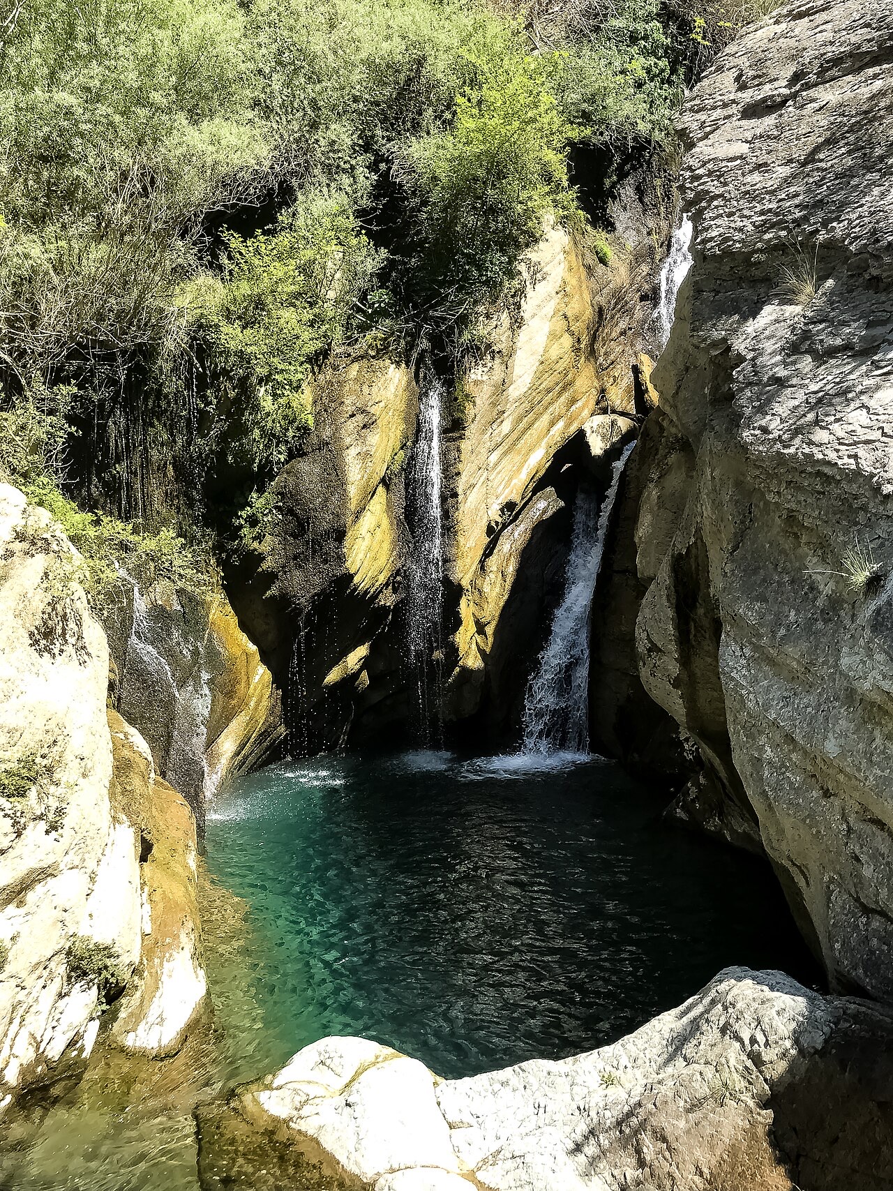
A cold spring-fed fall and pool in the Tomorr foothills near Berat.
Opslaan
Bogovë is a waterfall near Berat where very cold spring water drops into a green pool.
Bogovë is a waterfall near Berat where very cold spring water drops into a green pool.
De warmste maand is August (gemiddeld dagelijks maximum 30°C), de koudste is January (gemiddeld dagelijks minimum 1°C), en de natste is December (123 mm). De gemiddelde jaarlijkse neerslag bedraagt 1,016 mm.
| Maand | Maximum | Minimum | Neerslag | Natte dagen | Zon/dag |
|---|---|---|---|---|---|
| January | 10°C | 1°C | 103 mm | 11 | 6.7 h |
| February | 11°C | 2°C | 93 mm | 10 | 7.6 h |
| March | 14°C | 4°C | 103 mm | 12 | 9.1 h |
| April | 18°C | 7°C | 94 mm | 14 | 10.4 h |
| May | 22°C | 11°C | 82 mm | 12 | 11.6 h |
| June | 27°C | 15°C | 54 mm | 9 | 13.4 h |
| July | 30°C | 18°C | 32 mm | 6 | 13.7 h |
| August | 30°C | 18°C | 32 mm | 6 | 12.7 h |
| September | 25°C | 14°C | 82 mm | 9 | 10.5 h |
| October | 21°C | 10°C | 96 mm | 8 | 8.9 h |
| November | 15°C | 6°C | 121 mm | 12 | 6.9 h |
| December | 11°C | 3°C | 123 mm | 12 | 6.2 h |
Bron: ERA5 reanalysis via Open-Meteo, 1994–2023 · "Maximum" en "Minimum" zijn het gemiddelde dagelijkse maximum en minimum van de luchttemperatuur. "Natte dagen" telt dagen met ten minste 1 mm neerslag.
Stad · Berat
The 'city of a thousand windows': an Ottoman hill town under a still-inhabited castle, UNESCO-listed since 2008.
Canyon · Berat
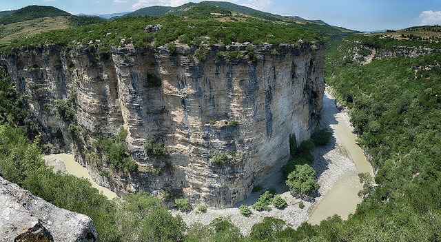
A 26 km limestone gorge up to 80 m deep, run by raft in spring and walked in late summer.
Iets onjuist op deze pagina? Correcties zijn welkom en worden gecontroleerd aan de hand van de bronregistratie. Laat ons weten wat onjuist is en, indien mogelijk, waar het juiste cijfer vandaan komt.