城镇
Divjakë
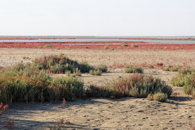
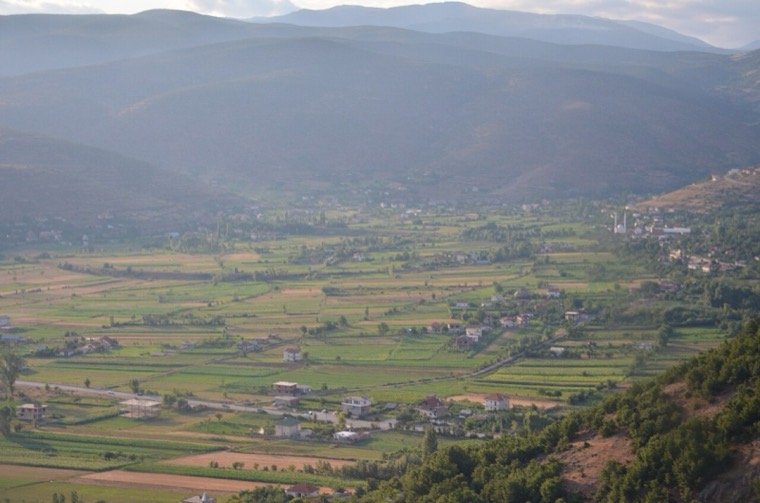
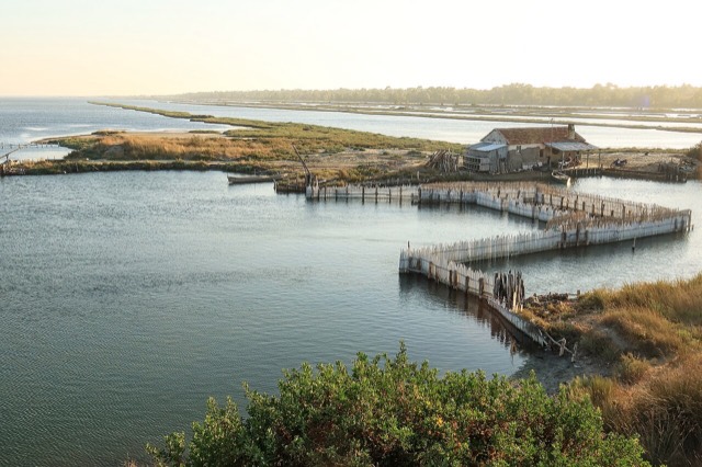
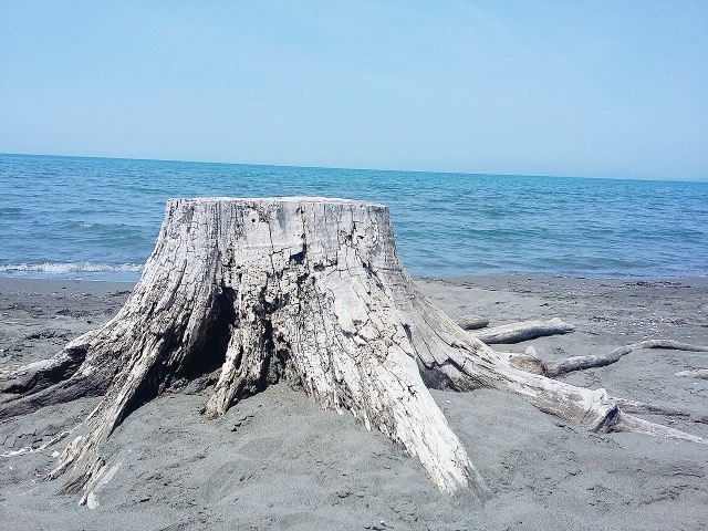
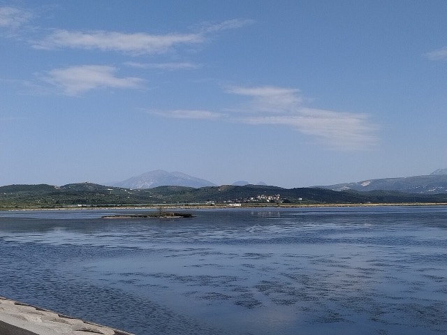
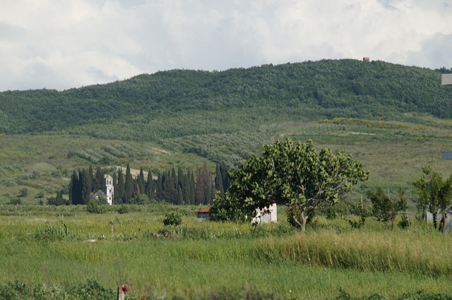
The town beside the Karavasta lagoon and the pine forest of the national park.
🧭 引导视图
初次了解阿尔巴尼亚?每个页面均以通俗易懂的说明开篇——即便是十岁的孩子也能读懂——随后再展开详细内容。
⚡ 专业视图
您已掌握基础知识。直接进入正题,简明解释默认隐藏。此为默认模式。
探索
Atlas收录的所有地点。可按类型、county或主题筛选。
The town beside the Karavasta lagoon and the pine forest of the national park.
Coastal pine forest, dunes and lagoon protecting the region's Dalmatian pelican colony.
The agricultural and oil-producing plain of the south-west, with the ancient city of Apollonia.
The largest lagoon in Albania and the western Balkans' main breeding site for the Dalmatian pelican.
Lagoons, pine and one of Albania's few surviving coastal alluvial forests, beside Shëngjin.
A short northern coast of lagoons and pine, backed by the copper country of Mirditë.
Albania's second-largest lagoon, with working saltpans and the island monastery of Zvërnec.