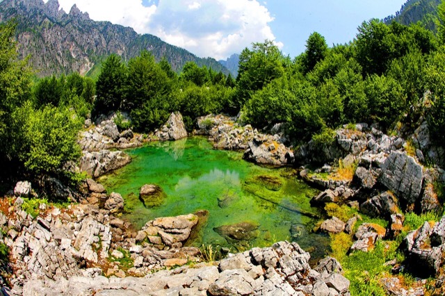
Waterfall

Grunas Waterfall
A 25–30 m fall in the Theth valley, and a declared natural monument.
🧭 Guided view
New to Albania? Every page opens with a plain-language explanation you could read to a ten-year-old, before the detail begins.
⚡ Expert view
You already know the basics. Straight to the substance, with the simple explanations hidden. This is the default.
Explore
Every place in the Atlas. Filter by type, by county or by theme.
A 25–30 m fall in the Theth valley, and a declared natural monument.
At 2,694 m the highest peak entirely inside the Dinaric Alps, deep in the Albanian Alps.
The north-west: the largest lake in southern Europe, the Albanian Alps and the Drin gorge.
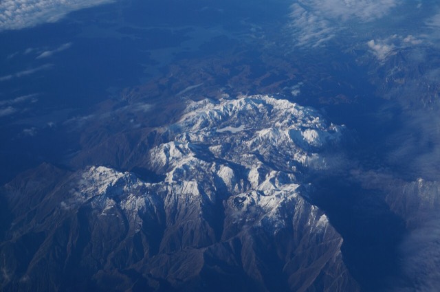
The limestone wall of the far north — locally the Accursed Mountains — shared with Montenegro and Kosovo.
A tributary of the Drin above Koman, reached by boat and often called Albania's Thailand.
A glacial valley village in the Albanian Alps: a lock-in tower, a waterfall, and one end of the country's best-known…
The glacial valley park at the heart of the Albanian Alps, merged into a wider protected complex in 2022.
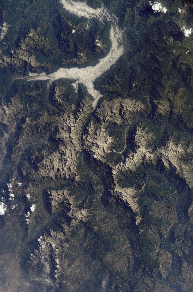
A broad U-shaped glacial valley of white gravel and beech forest under the Alps' highest peaks.
A wide white riverbed under 2,500 m peaks; the eastern end of the Theth trek.

![Title: A chief of Thethi, Tribe of Shale [i.e. Shala], Albania Abstract/medium: 1 photographic print.](/static/img/thumbs/theth-4.jpg)