海滩
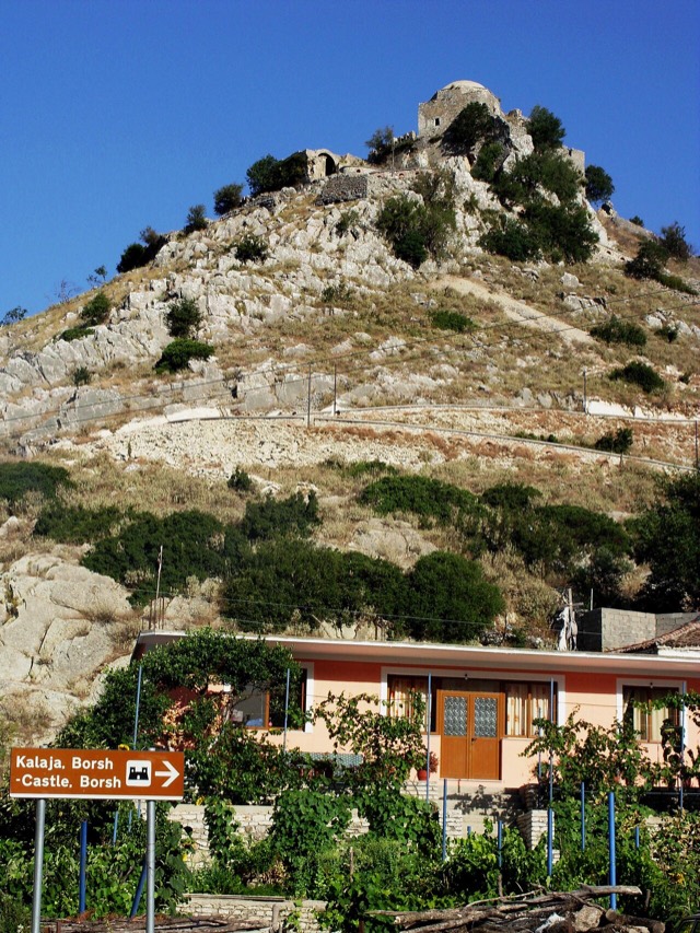
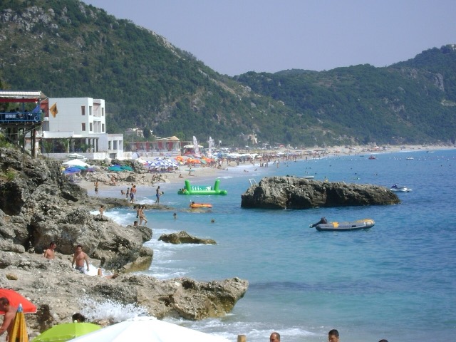
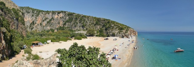
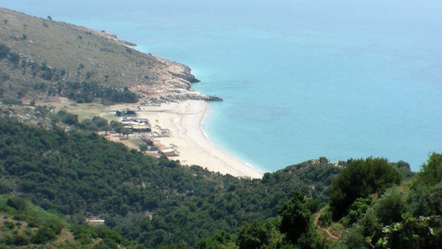
Borsh Beach
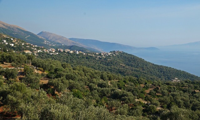
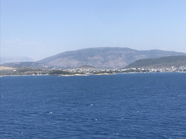
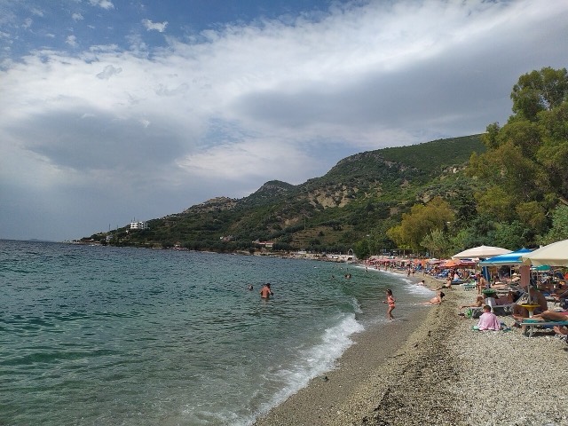
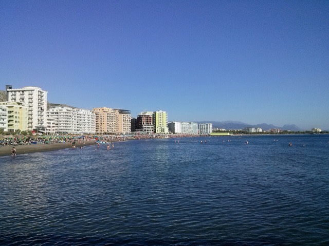
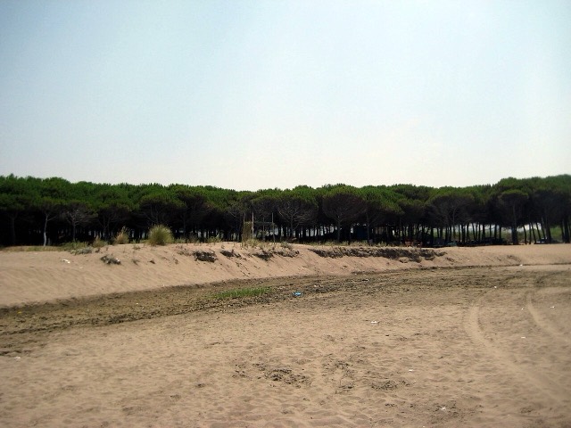
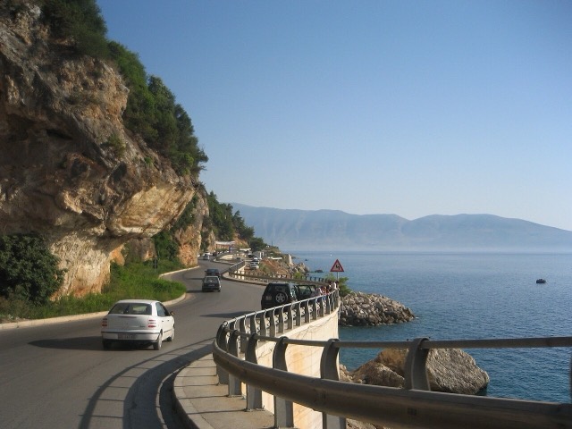
At roughly 7 km, the longest single beach on the Riviera, backed by one of Albania's largest olive groves.
🧭 引导视图
初次了解阿尔巴尼亚?每个页面均以通俗易懂的说明开篇——即便是十岁的孩子也能读懂——随后再展开详细内容。
⚡ 专业视图
您已掌握基础知识。直接进入正题,简明解释默认隐藏。此为默认模式。
探索
Atlas收录的所有地点。可按类型、county或主题筛选。
At roughly 7 km, the longest single beach on the Riviera, backed by one of Albania's largest olive groves.
The coastal ridge that makes the Riviera: 2,000 m peaks rising directly out of the Ionian.
A long white pebble shore under the Ceraunian ridge, and the Riviera's main nightlife strip.
The pine-backed northern half of the Dhërmi bay, slightly quieter than the main strip.
Albania's principal port and its oldest continuously inhabited city, founded as Epidamnos in 627 BC.
A continuous sand strip running south from the city — the busiest beach in Albania by visitor numbers.
The country's smallest county by area and its main gateway: the biggest port, the longest sandy beach.
A hidden cove with a sea cave, most easily reached by boat from Himarë.
A sheltered arc on the Rodon cape, below Skanderbeg's coastal castle.
A pebble beach at the mouth of a limestone canyon, reachable only on foot or by boat.
The busiest stretch of the central sandy coast, immediately south of Durrës.
The continuation of the Durrës sand south past Qerret and Mali i Robit.
A remote bay on the Karaburun peninsula whose cliffs carry Greek and Latin inscriptions cut by ancient sailors.
The centre of the Riviera coast: a Greek-speaking historical community, an old hill village and a string of coves.
Two adjacent pebble coves below Vuno, long a summer-camping spot for young Albanians.
A deep, clear bay north of Sarandë, long the subject of a contested development.
A market town behind the Adriatic dunes, near the wide beaches of Golem and Spille.
One of the least-developed larger coves on the southern Riviera.
Shallow, very clear water and four low islets a short swim offshore.
A pine-backed sand bay north of Durrës that has become Albania's main resort-property zone.
Where the Albanian princes swore their 1444 league, and where Skanderbeg is buried.
A short northern coast of lagoons and pine, backed by the copper country of Mirditë.
The broad bay immediately south of Himarë, the most developed beach on that stretch.
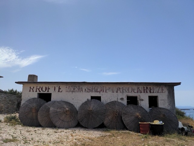
A run of small coves — Bunec, Krorëz and Shpella — below the village of Lukovë.
Rock shelves and a small pebble strip where the water is unusually still.
A marina town at the foot of Llogara, beside the ancient harbour of Oricum.
The first Riviera beach south of the Llogara pass, below the road's most dramatic descent.
A near-enclosed bay wrapped around Ali Pasha's triangular fortress on its own peninsula.
A triangular fortress on a causeway peninsula, built for Ali Pasha of Tepelena.
A compact bay just north of Himarë, backed by cliffs and olive slopes.
A small cove between Sarandë and Ksamil, reached by a rough track.
The sheltered eastern shore of the Bay of Vlorë, facing the Karaburun peninsula.
The Ionian resort town facing Corfu, and the arrival point for most visitors to southern Albania.
A northern beach resort and small commercial port backed by the Kune-Vain pine lagoons.
The main northern resort beach, with the Kune-Vain pine and lagoon reserve alongside.
A quieter sand beach south of Kavajë, backed by farmland rather than hotels.
Vlorë's own beach quarter, named for the cold springs that surface there.
A wide, shallow sand beach at the Buna river mouth, with a protected lagoon reserve.
A very shallow, wide sand beach at the Buna delta, beside a protected lagoon.
Where the Adriatic meets the Ionian, and where Albanian independence was declared in 1912.
The long southern coast: the Albanian Riviera, the Karaburun peninsula and the Corfu channel.