City · Vlorë
Vlorë
Where the Adriatic meets the Ionian, and where Albanian independence was declared in 1912.
Every county, coast and century
Guided view
New to Albania? Every page opens with a plain-language explanation you could read to a ten-year-old, before the detail begins.
Expert view
You already know the basics. Straight to the substance, with the simple explanations hidden. This is the default.
Town · Vlorë County
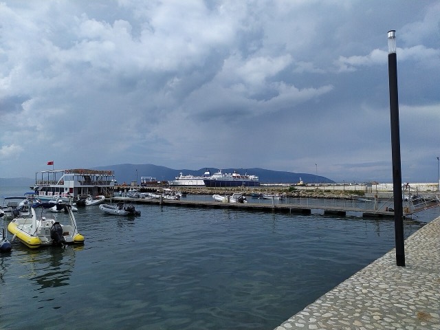
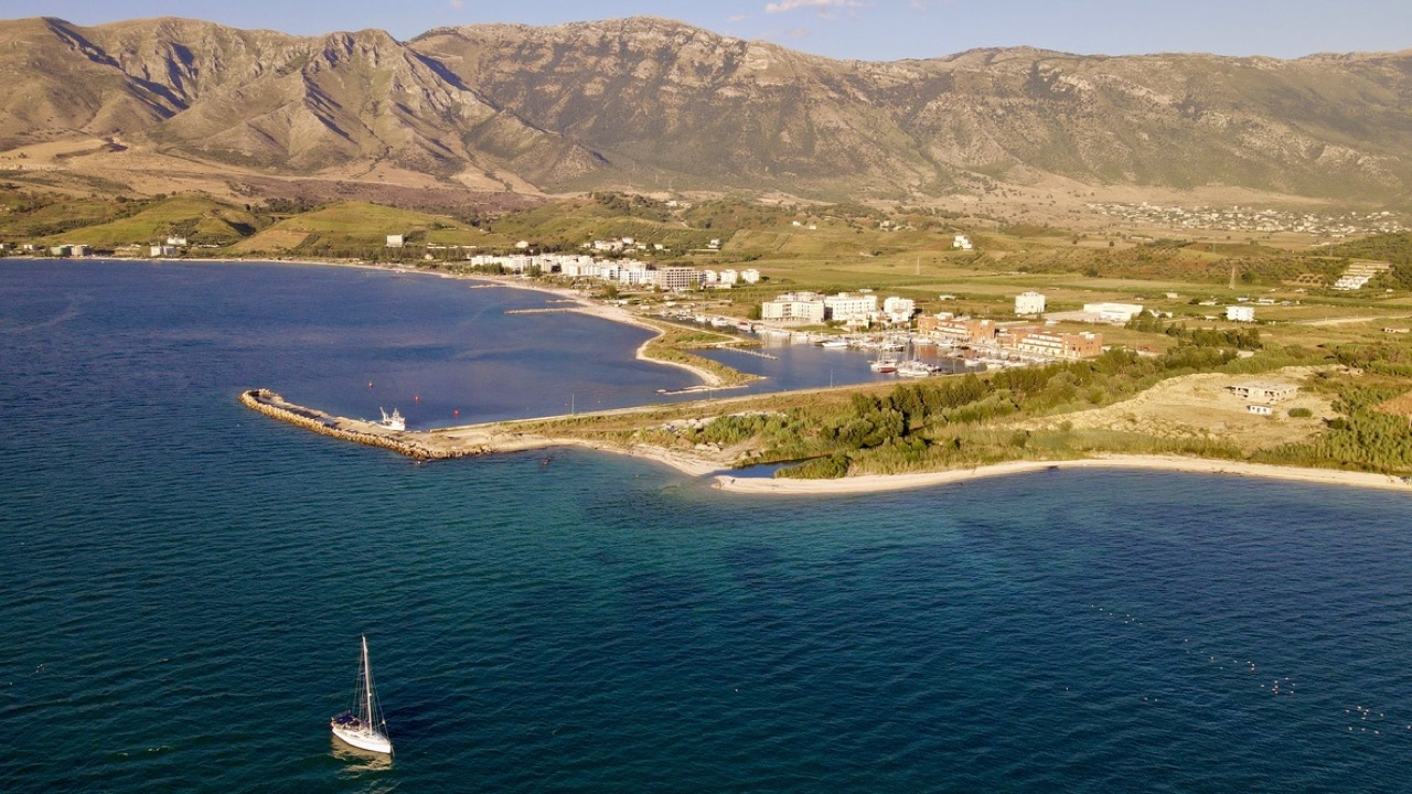
A marina town at the foot of Llogara, beside the ancient harbour of Oricum.
Save
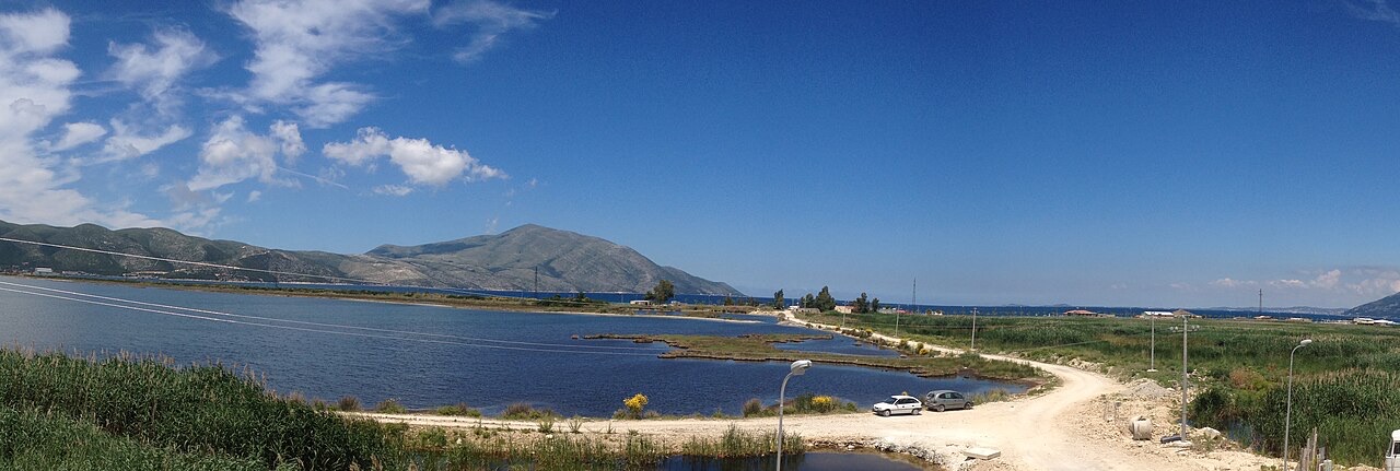
Orikum is a small town on the bay south of Vlorë, where the Riviera road starts climbing. There was an ancient port here that Julius Caesar used during a Roman civil war.
Orikum is a small town on the bay south of Vlorë, where the Riviera road starts climbing. There was an ancient port here that Julius Caesar used during a Roman civil war.
The warmest month is August (mean daily high 31°C), the coldest is January (mean daily low 7°C), and the wettest is November (156 mm). Total annual rainfall averages 1,107 mm. Sea temperature peaks in August at about 25°C.
| Month | High | Low | Rain | Wet days | Sun/day | Sea |
|---|---|---|---|---|---|---|
| January | 12°C | 7°C | 113 mm | 12 | 7.4 h | 17°C |
| February | 13°C | 7°C | 103 mm | 11 | 8.3 h | 15°C |
| March | 16°C | 8°C | 104 mm | 11 | 9.8 h | 15°C |
| April | 19°C | 11°C | 86 mm | 12 | 11.0 h | 16°C |
| May | 23°C | 16°C | 67 mm | 9 | 12.2 h | 18°C |
| June | 28°C | 20°C | 42 mm | 6 | 13.6 h | 22°C |
| July | 31°C | 22°C | 26 mm | 5 | 13.8 h | 24°C |
| August | 31°C | 23°C | 32 mm | 6 | 12.9 h | 25°C |
| September | 26°C | 19°C | 104 mm | 10 | 10.8 h | 25°C |
| October | 22°C | 16°C | 127 mm | 10 | 9.3 h | 25°C |
| November | 18°C | 12°C | 156 mm | 13 | 7.4 h | 21°C |
| December | 14°C | 8°C | 146 mm | 13 | 6.8 h | 18°C |
Source: ERA5 reanalysis via Open-Meteo, 1994–2023 · “High” and “Low” are mean daily maximum and minimum air temperature. “Wet days” counts days with at least 1 mm of precipitation.
City · Vlorë
Where the Adriatic meets the Ionian, and where Albanian independence was declared in 1912.
Protected area · Vlorë
Albania's only marine national park: sea caves, wrecks and the country's clearest water.
Protected area · Vlorë
A pine-forested pass at 1,027 m where the road drops from mountain forest to the Ionian in a few kilometres.
Subject · Vlorë
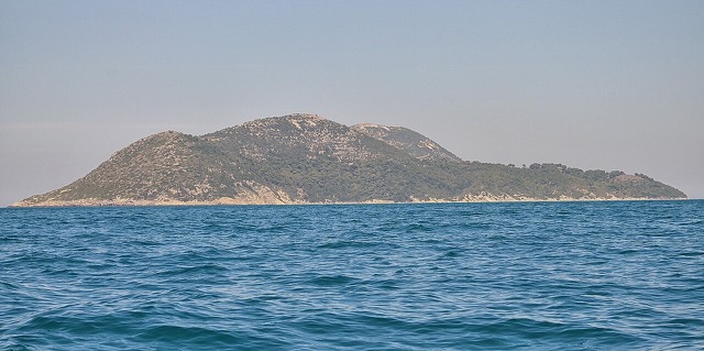
Albania's largest island: a former Italian and then Soviet-era military base at the mouth of the Bay of Vlorë.
Beach · Vlorë
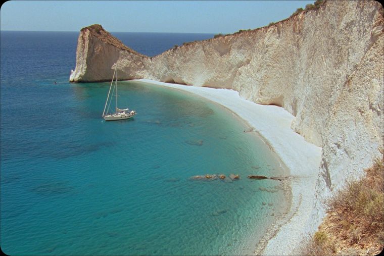
A remote bay on the Karaburun peninsula whose cliffs carry Greek and Latin inscriptions cut by ancient sailors.
Beach · Vlorë
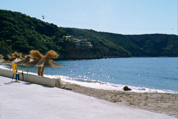
The sheltered eastern shore of the Bay of Vlorë, facing the Karaburun peninsula.
Subject · Vlorë
Albania's largest uninhabited peninsula, closed to the public for most of the 20th century and now a marine park.
Historical period
Corinthian and Corcyraean foundations at Epidamnos, Apollonia and Orikum along the coast.
Something wrong on this page? Corrections are welcome and are checked against the source record. Tell us what is wrong and, if you can, where the right figure comes from.