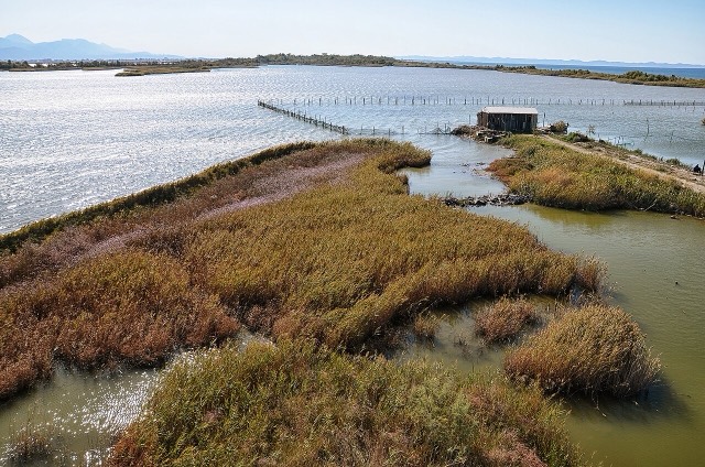
Protected area · Lezhë
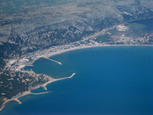
Kune-Vain Nature Reserve
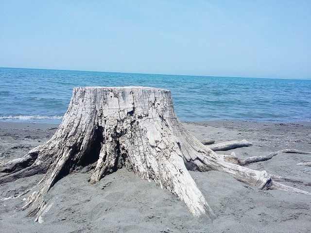
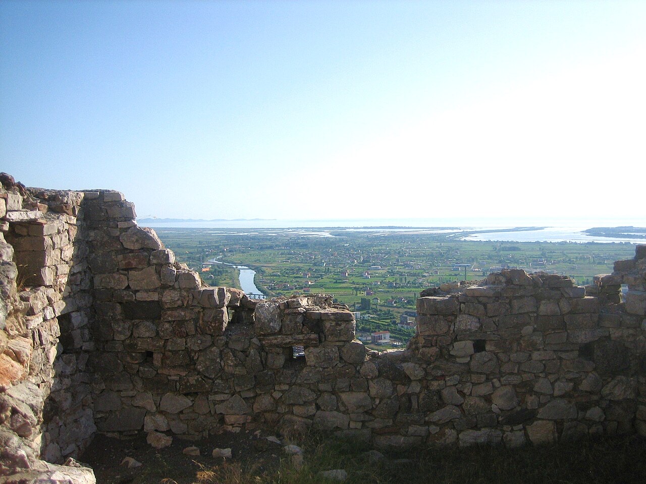
Lagoons, pine and one of Albania's few surviving coastal alluvial forests, beside Shëngjin.
Every county, coast and century
Guided view
New to Albania? Every page opens with a plain-language explanation you could read to a ten-year-old, before the detail begins.
Expert view
You already know the basics. Straight to the substance, with the simple explanations hidden. This is the default.
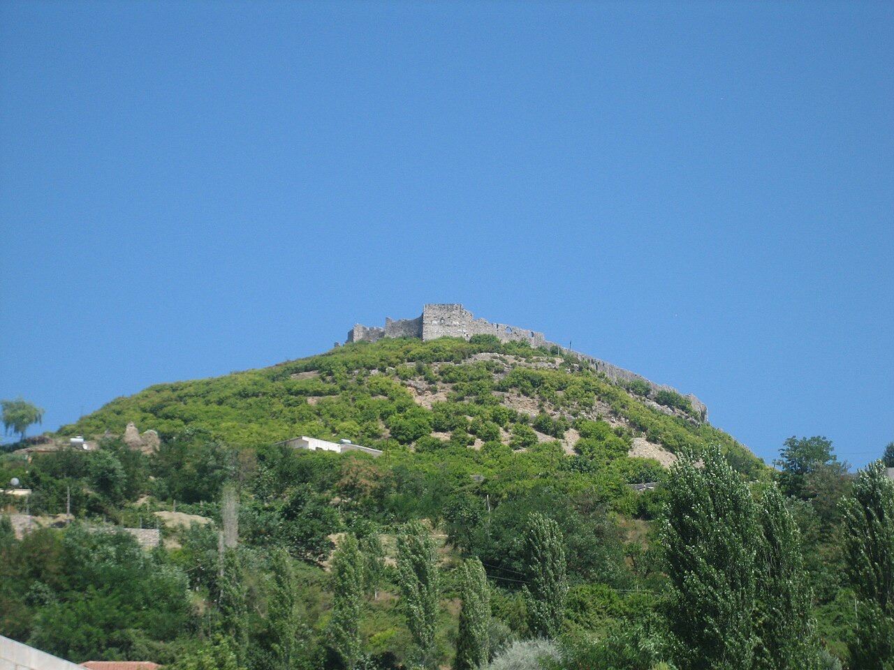
Town
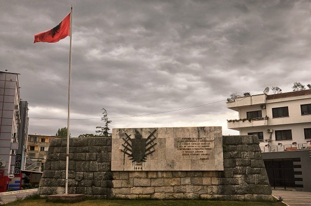
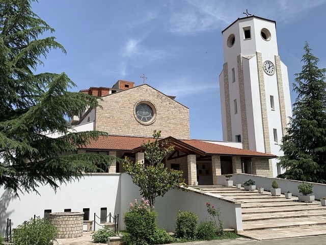
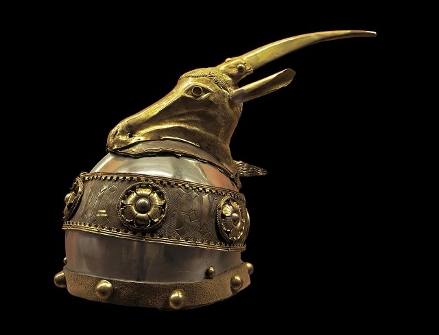
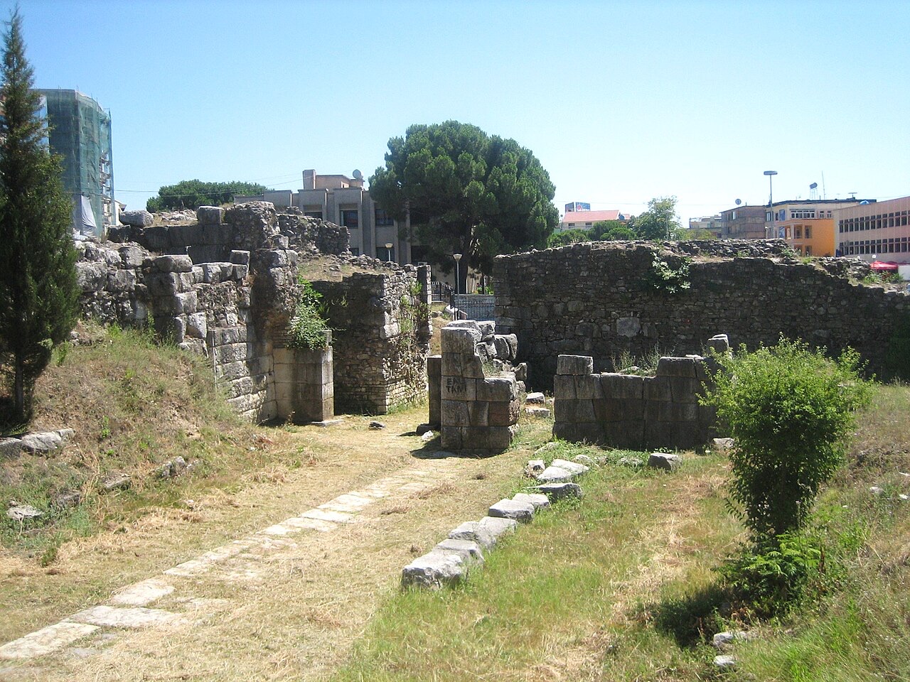
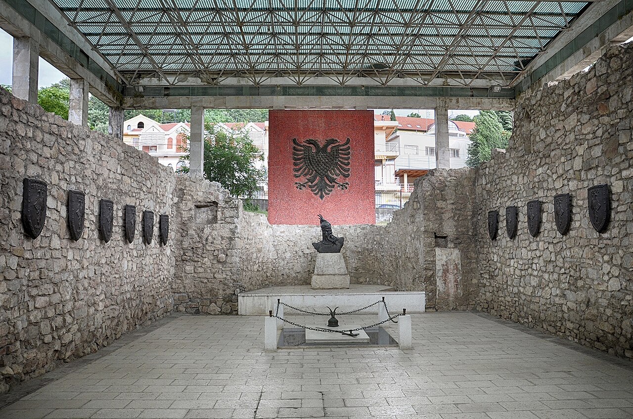
Where the Albanian princes swore their 1444 league, and where Skanderbeg is buried.
Save
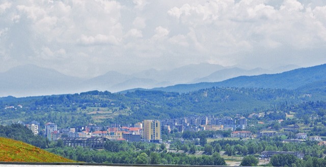
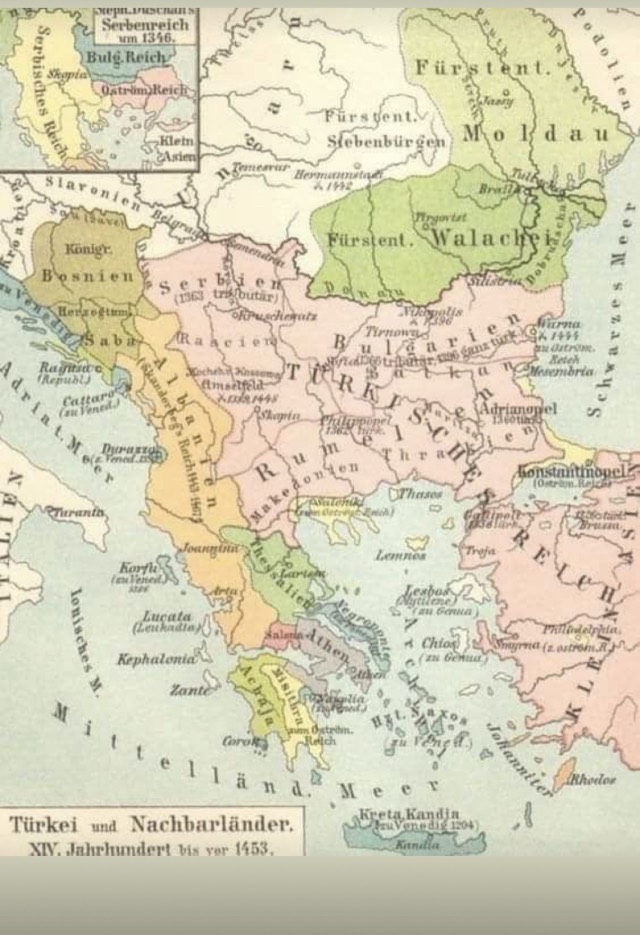
Lezhë is a small town near the north coast. In 1444 the Albanian noble families met here and agreed to fight together against the Ottomans. Skanderbeg, their leader, was buried in the town's church.
Lezhë is a small town near the north coast. In 1444 the Albanian noble families met here and agreed to fight together against the Ottomans. Skanderbeg, their leader, was buried in the town's church.
The warmest month is August (mean daily high 30°C), the coldest is January (mean daily low 2°C), and the wettest is November (174 mm). Total annual rainfall averages 1,349 mm. Sea temperature peaks in August at about 25°C.
| Month | High | Low | Rain | Wet days | Sun/day | Sea |
|---|---|---|---|---|---|---|
| January | 10°C | 2°C | 143 mm | 12 | 6.8 h | 14°C |
| February | 12°C | 3°C | 124 mm | 11 | 7.7 h | 12°C |
| March | 14°C | 5°C | 130 mm | 11 | 9.2 h | 14°C |
| April | 18°C | 9°C | 121 mm | 12 | 10.4 h | 15°C |
| May | 22°C | 13°C | 99 mm | 10 | 11.9 h | 19°C |
| June | 27°C | 17°C | 53 mm | 7 | 13.5 h | 23°C |
| July | 30°C | 20°C | 34 mm | 5 | 13.7 h | 26°C |
| August | 30°C | 20°C | 42 mm | 5 | 12.8 h | 25°C |
| September | 25°C | 16°C | 126 mm | 9 | 10.5 h | 24°C |
| October | 21°C | 12°C | 133 mm | 9 | 8.9 h | 22°C |
| November | 16°C | 8°C | 174 mm | 11 | 7.0 h | 19°C |
| December | 12°C | 4°C | 168 mm | 13 | 6.3 h | 16°C |
Source: ERA5 reanalysis via Open-Meteo, 1994–2023 · “High” and “Low” are mean daily maximum and minimum air temperature. “Wet days” counts days with at least 1 mm of precipitation.
Protected area · Lezhë
Lagoons, pine and one of Albania's few surviving coastal alluvial forests, beside Shëngjin.
Town · Lezhë
Where the Albanian princes swore their 1444 league, and where Skanderbeg is buried.
Beach · Lezhë
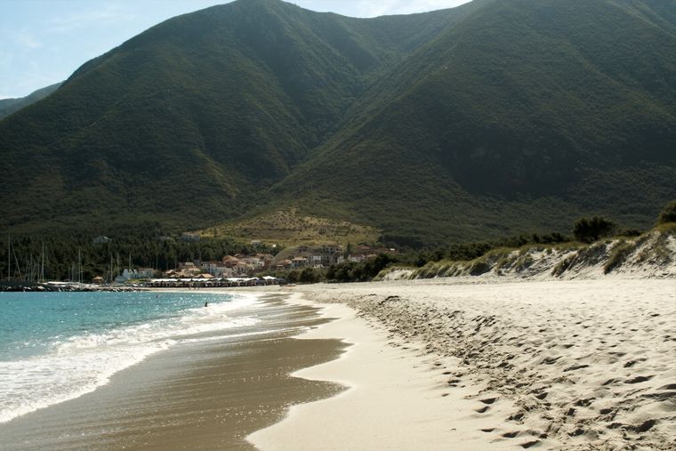
The main northern resort beach, with the Kune-Vain pine and lagoon reserve alongside.
Town · Lezhë
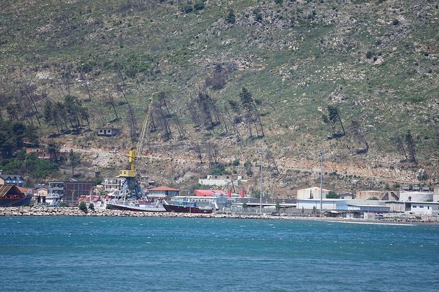
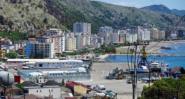
A northern beach resort and small commercial port backed by the Kune-Vain pine lagoons.
Town · Lezhë
An industrial town and the site of the Saint Anthony pilgrimage church at Shëngjin i Vogël.
County
Albania's mountain interior on the North Macedonian border, containing Mount Korab.
City · Durrës
Albania's principal port and its oldest continuously inhabited city, founded as Epidamnos in 627 BC.
City · Shkodër
The cultural capital of the north: a lake, a fortress, a bicycle city and a Catholic heartland.
County
The capital county: roughly a third of the country's people, its jobs and its universities.
Protected area · Lezhë
Lagoons, pine and one of Albania's few surviving coastal alluvial forests, beside Shëngjin.
Town · Kukës
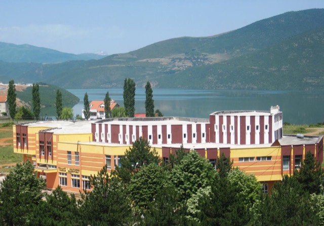
A town rebuilt above a reservoir in the 1970s, and the northern end of the Nation's Road.
Person
Gjergj Kastrioti: an Ottoman commander who changed sides and held Albania against the empire for twenty-five years.
Historical period
Twenty-five years in which a coalition of Albanian nobles held off the Ottoman Empire at its height.
Something wrong on this page? Corrections are welcome and are checked against the source record. Tell us what is wrong and, if you can, where the right figure comes from.