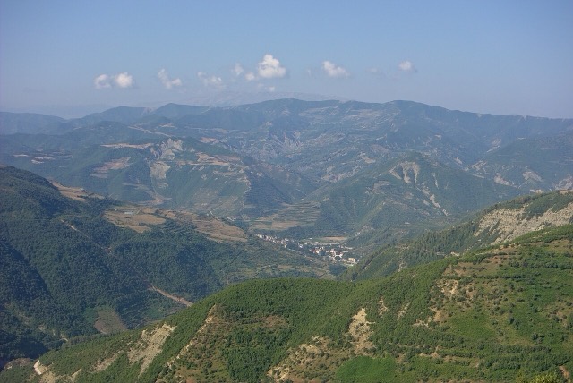
Thị trấn
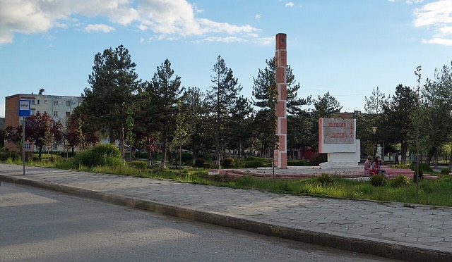
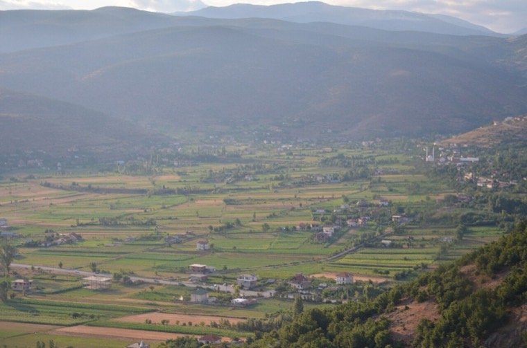
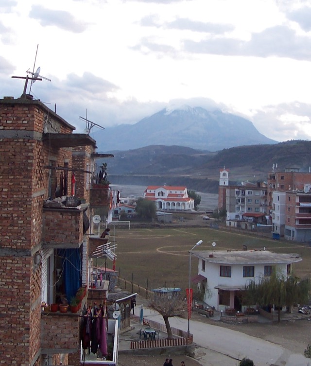
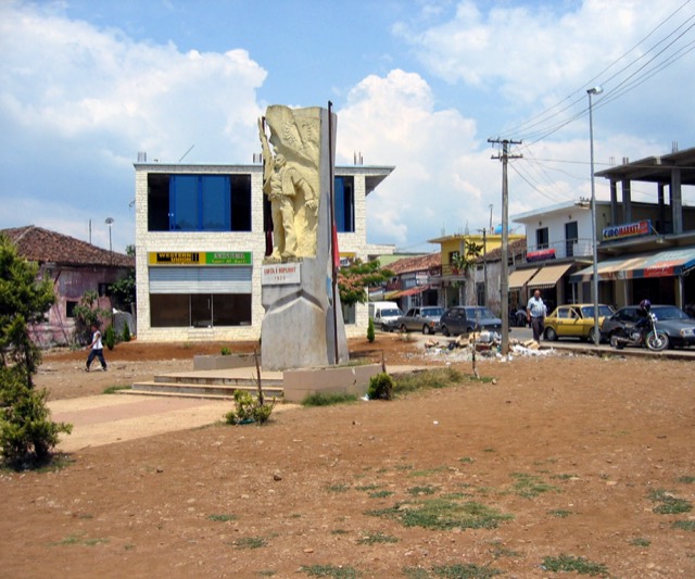
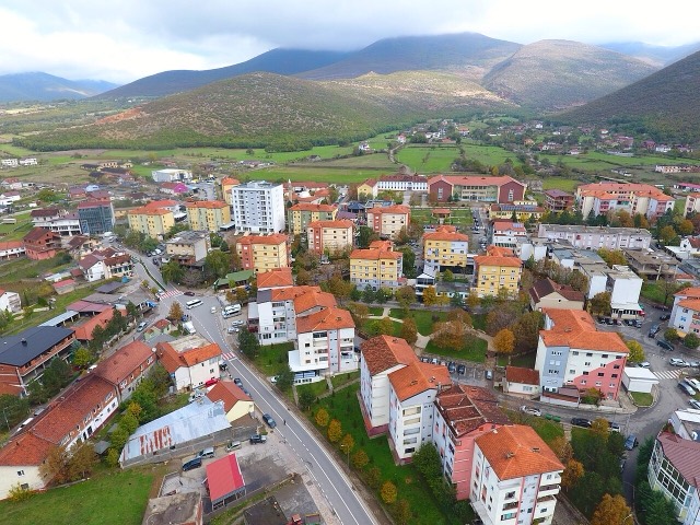
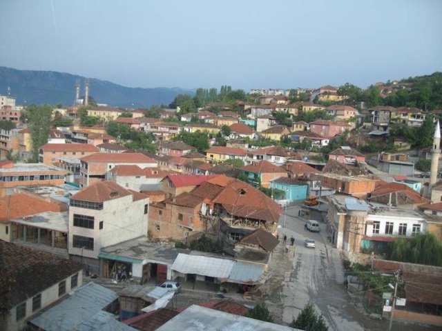
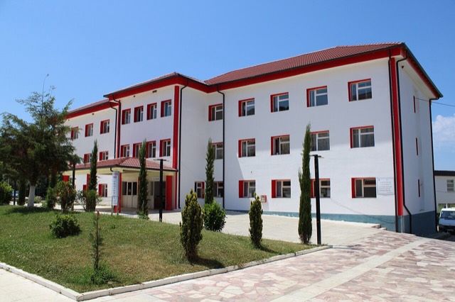
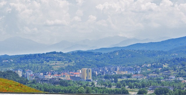
Bajram Curri
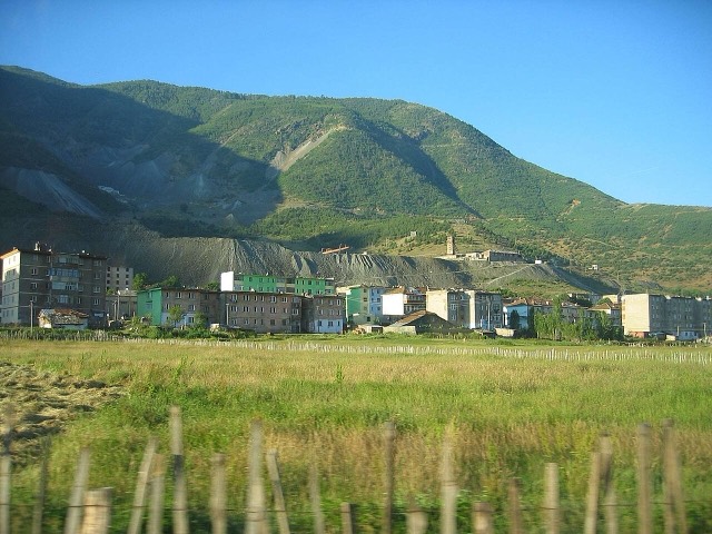
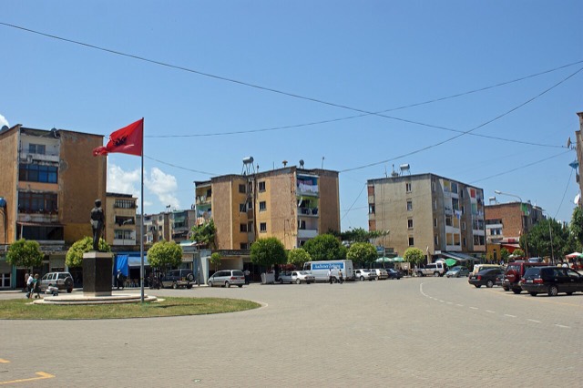
The road head for the Valbona valley, named after a guerrilla leader of the 1920s.
🧭 Chế độ hướng dẫn
Mới tìm hiểu về Albania? Mỗi trang mở đầu bằng một giải thích ngôn ngữ đơn giản mà bạn có thể đọc cho một đứa trẻ mười tuổi, trước khi đi vào chi tiết.
⚡ Chế độ chuyên gia
Bạn đã nắm được những điều cơ bản. Đi thẳng vào nội dung, với các giải thích đơn giản được ẩn đi. Đây là chế độ mặc định.
Khám phá
Mọi địa điểm trong Atlas. Lọc theo loại, theo county hoặc theo chủ đề.
The road head for the Valbona valley, named after a guerrilla leader of the 1920s.
A chromium mining town — Albania is among the world's larger chrome producers.
The seat of Mat municipality in the central highlands, near the Mat river dams.
The coastal ridge that makes the Riviera: 2,000 m peaks rising directly out of the Ionian.
A stone village at 1,340 m in the Morava mountains, one of Albania's small ski destinations.
Albania's mountain interior on the North Macedonian border, containing Mount Korab.
The highest town in Albania, seat of Kolonjë municipality below Mount Gramos.
The southern mountain county of the Drino and Vjosa valleys, with a UNESCO stone city.
A mountain town on the Devoll river, once the site of a large arms plant.
The seat of Malësi e Madhe, at the foot of the Alps near the Montenegrin border.
The seat of Has municipality in the north-eastern hills near Kosovo.
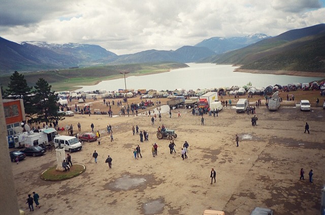
A town rebuilt above a reservoir in the 1970s, and the northern end of the Nation's Road.
The north-eastern highlands on the Kosovo border, the gateway to the Valbona valley.
A Shkumbin-valley town at the gate of Shebenik-Jabllanicë National Park.
At 2,694 m the highest peak entirely inside the Dinaric Alps, deep in the Albanian Alps.
The 2,045 m high point of the Ceraunian ridge, directly above the Riviera coast.
Tirana's own mountain: 1,613 m, a national park, and a 4.2 km cable car from the city edge.
At 2,764 m the highest point in both Albania and North Macedonia, on the border ridge.
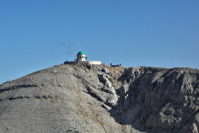
A 2,416 m massif above Berat, and the site of an annual Bektashi pilgrimage each August.
The seat of Dibër County, known for thermal springs and the high pastures below Mount Korab.
A forested highland town on the old road north, at about 830 m.
The seat of Mirditë, historic centre of Albania's copper mining region.
The north-west: the largest lake in southern Europe, the Albanian Alps and the Drin gorge.
The limestone wall of the far north — locally the Accursed Mountains — shared with Montenegro and Kosovo.
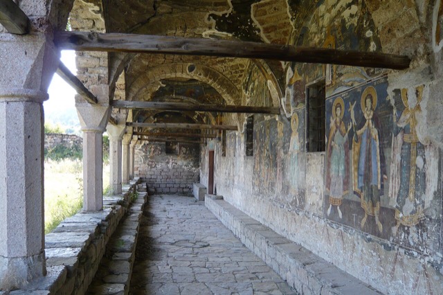
In the 18th century one of the largest towns in the Balkans; today a village of frescoed churches.
The seat of Skrapar municipality and the base for the Osum canyon.