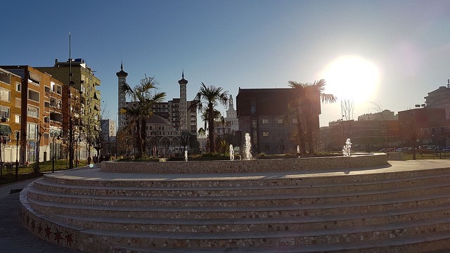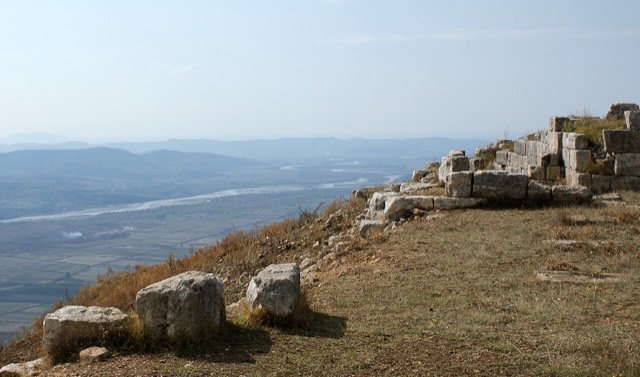
Historic site · Fier
Byllis
The largest Illyrian city yet excavated, on a plateau above the Vjosa with five early Christian basilicas.
Every county, coast and century
Guided view
New to Albania? Every page opens with a plain-language explanation you could read to a ten-year-old, before the detail begins.
Expert view
You already know the basics. Straight to the substance, with the simple explanations hidden. This is the default.
Town · Fier County
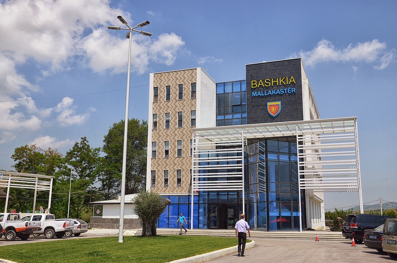
The seat of Mallakastër and the site of Albania's main oil refinery, near the ruins of Byllis.
Save
Ballsh is a town in the oil country of the south-west. Albania's biggest refinery is there, and the ancient city of Byllis is close by.
Ballsh is a town in the oil country of the south-west. Albania's biggest refinery is there, and the ancient city of Byllis is close by.
Ballsh (Albanian definite form: Ballshi) is a town in Fier County, southern Albania. It was formerly a municipality in its own right, but at the 2015 local government reform it was reduced to a subdivision and designated the seat of the newly enlarged municipality of Mallakastër.
Prior to that reform, Ballsh had also served as the seat of the former District of Mallakastër. The population recorded at the 2011 census was 7,657.
The name Ballsh is understood to have evolved from that of the ancient city of Byllis, which stands in close proximity. Church sources record several variants of the name over time: Byllis, Bellis, Ballis, and Vallis.
During Ottoman rule, the settlement was the centre of the Malkasra kaza — Malkasra being the Turkish form of Mallakastër — within the Sanjak of Berat in the Yanya Vilayet. This administrative arrangement persisted from 1670 until the end of Ottoman control in 1912.
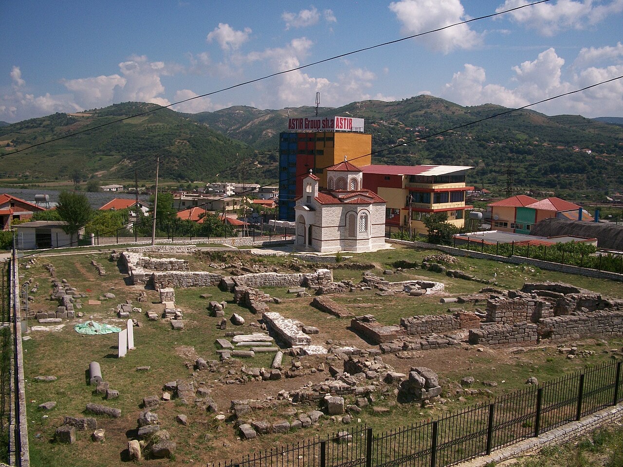
Byllis was a city of the Illyrian era, located near the site of modern Ballsh. The Slavic invasions of the 6th and 7th centuries caused the decline of Byllis as a functioning urban centre.
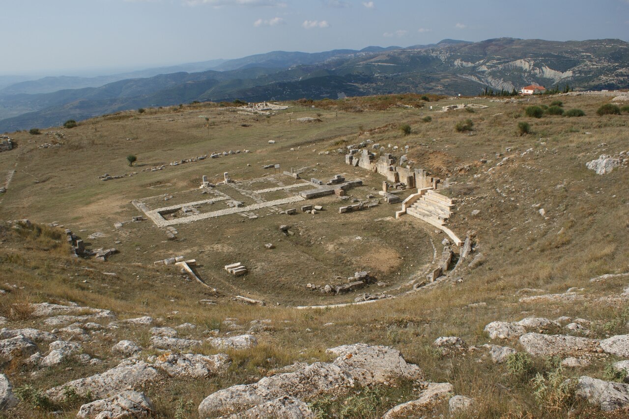
Ballsh itself was subsequently built using materials taken from the ruins of Byllis, making the ancient city both the etymological and physical source of the modern town.
The fields surrounding Ballsh are rich in crude petroleum. They are dotted with oil wells established during the socialist era of Albanian governance. Only a fraction of these wells remain in operation today.
Despite the reduced number of active extraction sites, the area retains significance in the Albanian oil sector, with outputs of naphthas recorded as substantial.
Ballsh contains a working oil refinery. The refinery was owned by Taçi Oil through a company called ARMO, an acronym for Anika Mercuria Refinery Associated Oil, itself owned by Anika Enterprises.
In 2013, ARMO was sold to Heaney Assets Corporation, a corporation registered in Azerbaijan.
The town's football club, KS Bylis Ballsh, takes its name from the ancient city of Byllis, continuing the etymological link between the modern settlement and its ancient predecessor.
The club plays its home matches at the Adush Muça Stadium, located in Ballsh.
For the duration of Ottoman rule between 1670 and 1912, Ballsh functioned as the centre of the Malkasra kaza within the Sanjak of Berat, which itself fell under the Yanya Vilayet. The kaza name Malkasra is a Turkish rendering of the Albanian toponym Mallakastër.
This administrative role gave the town a degree of regional importance under Ottoman governance, a function it retained in different form as the seat of the post-independence District of Mallakastër before the 2015 reforms.
The 2015 local government reform in Albania consolidated many smaller municipalities into larger units. Ballsh lost its status as an independent municipality and became a subdivision within the municipality of Mallakastër.
Despite this reduction in formal administrative rank, Ballsh retained its position as the seat of the Mallakastër municipality, meaning it continues to serve as the principal administrative centre for the wider area.
The warmest month is August (mean daily high 31°C), the coldest is January (mean daily low 3°C), and the wettest is November (151 mm). Total annual rainfall averages 1,201 mm.
| Month | High | Low | Rain | Wet days | Sun/day |
|---|---|---|---|---|---|
| January | 11°C | 3°C | 115 mm | 12 | 7.2 h |
| February | 12°C | 3°C | 105 mm | 11 | 8.1 h |
| March | 15°C | 5°C | 114 mm | 12 | 9.5 h |
| April | 18°C | 8°C | 101 mm | 14 | 10.8 h |
| May | 23°C | 13°C | 88 mm | 11 | 12.0 h |
| June | 28°C | 17°C | 65 mm | 9 | 13.5 h |
| July | 31°C | 19°C | 36 mm | 6 | 13.8 h |
| August | 31°C | 20°C | 41 mm | 7 | 12.8 h |
| September | 26°C | 16°C | 117 mm | 10 | 10.7 h |
| October | 21°C | 12°C | 126 mm | 10 | 9.2 h |
| November | 16°C | 8°C | 151 mm | 12 | 7.2 h |
| December | 12°C | 4°C | 143 mm | 13 | 6.6 h |
Source: ERA5 reanalysis via Open-Meteo, 1994–2023 · “High” and “Low” are mean daily maximum and minimum air temperature. “Wet days” counts days with at least 1 mm of precipitation.
Historic site · Fier
The largest Illyrian city yet excavated, on a plateau above the Vjosa with five early Christian basilicas.
Energy site · Fier
The largest onshore oil field in continental Europe, in production since the 1920s.
Town · Fier
The centre of the Patos-Marinza field, the largest onshore oil field in continental Europe.
Industry
Heavy onshore crude from Patos-Marinza, produced since the 1920s and refined at Ballsh.
Something wrong on this page? Corrections are welcome and are checked against the source record. Tell us what is wrong and, if you can, where the right figure comes from.