- Main field
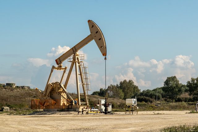
- Patos-Marinza — the largest onshore field in continental Europe
- Crude type
- Heavy, high-viscosity
- Refining
- Ballsh refinery, with a long record of operational difficulty
- Note
- Production volumes are reported by AKBN and the operators
In plain language
Albania has produced oil since the 1920s. The oil is heavy and thick, so it is harder and more expensive to get out than the light oil of the Gulf. Most of it comes from one field near Patos and Fier.
Simple explanation
Albania has produced oil since the 1920s. The oil is heavy and thick, so it is harder and more expensive to get out than the light oil of the Gulf. Most of it comes from one field near Patos and Fier.
On this page
Connected subjects
Related subjects
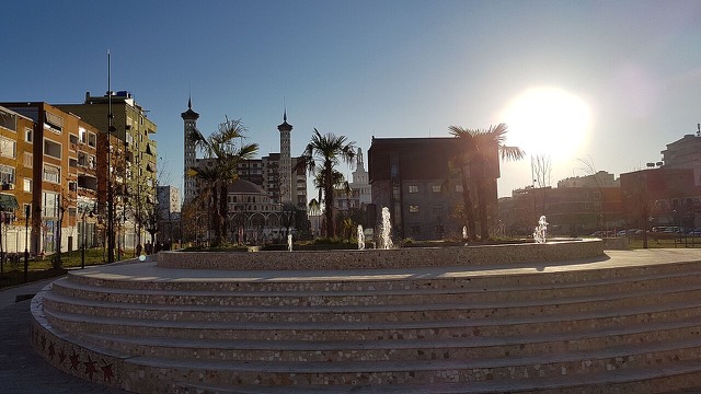
Town · Fier
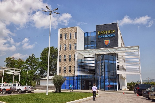
Ballsh
The seat of Mallakastër and the site of Albania's main oil refinery, near the ruins of Byllis.
Industry
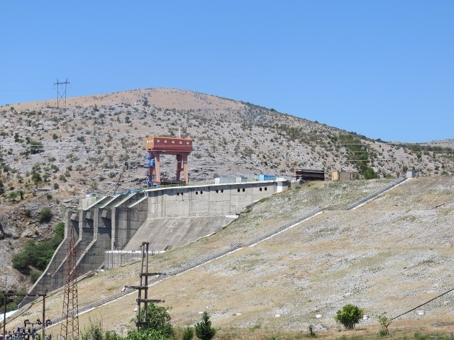
Energy in Albania
Electricity almost entirely from hydropower — which makes supply depend on rainfall.
Company · Fier
Bankers Petroleum
The Canadian-listed operator that redeveloped Patos-Marinza, acquired by China's Geo-Jade Petroleum in 2016.
Energy site · Fier
Patos-Marinza Oil Field
The largest onshore oil field in continental Europe, in production since the 1920s.
Town · Fier
Patos
The centre of the Patos-Marinza field, the largest onshore oil field in continental Europe.
Sources
Something wrong on this page? Corrections are welcome and are checked against the source record. Tell us what is wrong and, if you can, where the right figure comes from.