City · Durrës
Durrës
Albania's principal port and its oldest continuously inhabited city, founded as Epidamnos in 627 BC.
Every county, coast and century
Guided view
New to Albania? Every page opens with a plain-language explanation you could read to a ten-year-old, before the detail begins.
Expert view
You already know the basics. Straight to the substance, with the simple explanations hidden. This is the default.
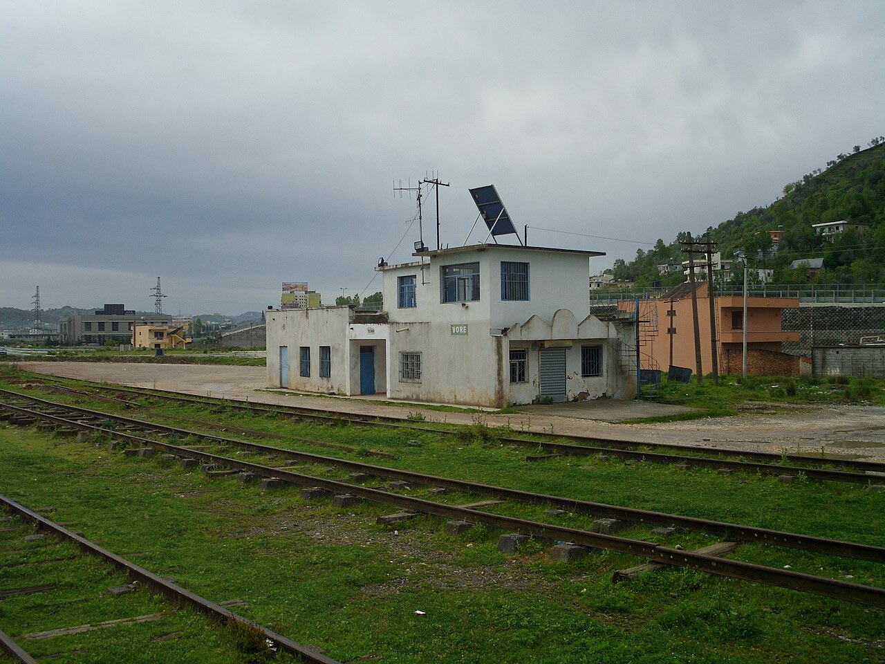
Town · Tiranë County
A road and rail junction between Tirana, Durrës and the airport.
Save
Vorë is a small town where the roads between Tirana, Durrës and the airport meet.
Vorë is a small town where the roads between Tirana, Durrës and the airport meet.
City · Durrës
Albania's principal port and its oldest continuously inhabited city, founded as Epidamnos in 627 BC.
City · Tiranë
The capital: a fast-changing city of painted blocks, Ottoman survivals and new towers, under Mount Dajti.
Airport · Tiranë
Albania's principal airport, 17 km north-west of Tirana — for years the country's only functioning civil airport.
Town · Tiranë
A city on Tirana's northern edge that grew almost entirely from internal migration after 1991.
Historic site · Tiranë
A compact hill castle between Tirana and the airport, with a view over the whole plain.
Town · Durrës
A market town between Durrës and Tirana with a long-established Roma and Egyptian community.
Something wrong on this page? Corrections are welcome and are checked against the source record. Tell us what is wrong and, if you can, where the right figure comes from.