
City · Vlorë
Sarandë
The Ionian resort town facing Corfu, and the arrival point for most visitors to southern Albania.
Every county, coast and century
Guided view
New to Albania? Every page opens with a plain-language explanation you could read to a ten-year-old, before the detail begins.
Expert view
You already know the basics. Straight to the substance, with the simple explanations hidden. This is the default.
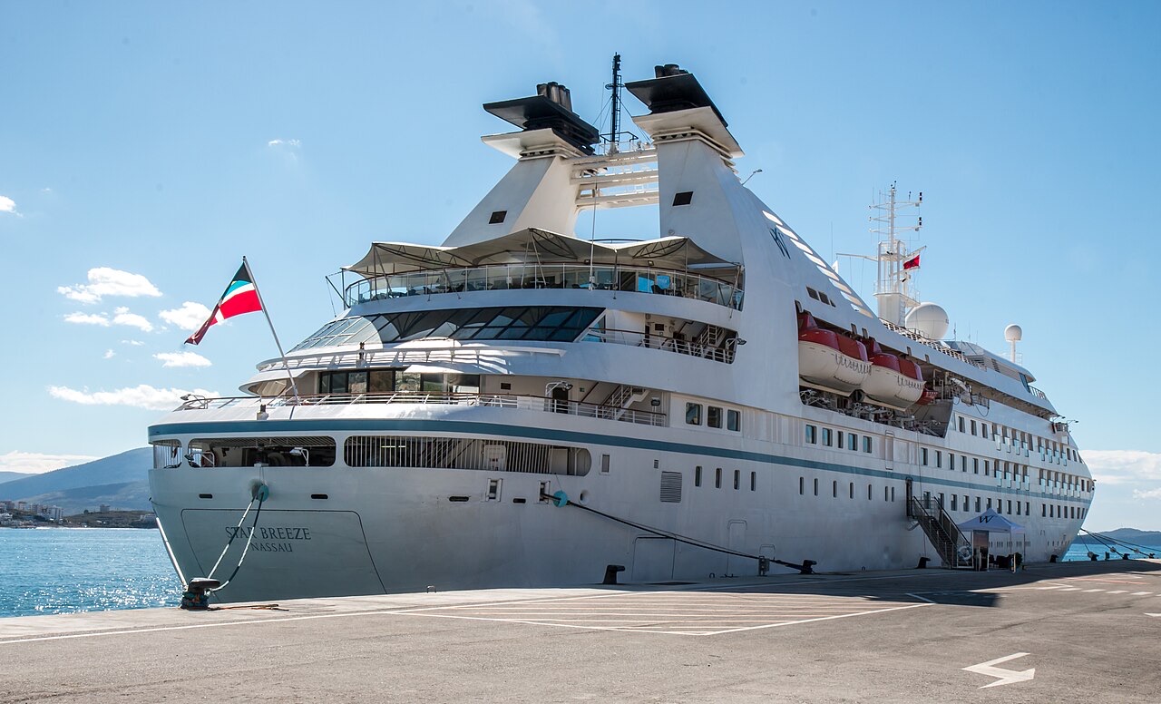
Port · Vlorë County
A small passenger port whose Corfu crossings are the busiest sea route into southern Albania.
Save
Sarandë's port is small, but boats to the Greek island of Corfu leave from it many times a day in summer, and cruise ships sometimes stop there.
Sarandë's port is small, but boats to the Greek island of Corfu leave from it many times a day in summer, and cruise ships sometimes stop there.
The warmest month is August (mean daily high 31°C), the coldest is January (mean daily low 5°C), and the wettest is November (206 mm). Total annual rainfall averages 1,225 mm. Sea temperature peaks in August at about 26°C.
| Month | High | Low | Rain | Wet days | Sun/day | Sea |
|---|---|---|---|---|---|---|
| January | 12°C | 5°C | 143 mm | 12 | 7.2 h | 16°C |
| February | 13°C | 5°C | 124 mm | 11 | 8.0 h | 15°C |
| March | 15°C | 7°C | 112 mm | 11 | 9.6 h | 16°C |
| April | 19°C | 10°C | 78 mm | 10 | 10.9 h | 16°C |
| May | 23°C | 14°C | 52 mm | 8 | 12.1 h | 19°C |
| June | 28°C | 19°C | 27 mm | 4 | 13.6 h | 24°C |
| July | 31°C | 21°C | 14 mm | 2 | 13.8 h | 26°C |
| August | 31°C | 22°C | 22 mm | 3 | 12.9 h | 26°C |
| September | 26°C | 18°C | 109 mm | 8 | 10.7 h | 26°C |
| October | 22°C | 14°C | 144 mm | 10 | 9.1 h | 25°C |
| November | 17°C | 10°C | 206 mm | 13 | 7.1 h | 21°C |
| December | 13°C | 6°C | 195 mm | 13 | 6.5 h | 18°C |
Source: ERA5 reanalysis via Open-Meteo, 1994–2023 · “High” and “Low” are mean daily maximum and minimum air temperature. “Wet days” counts days with at least 1 mm of precipitation.
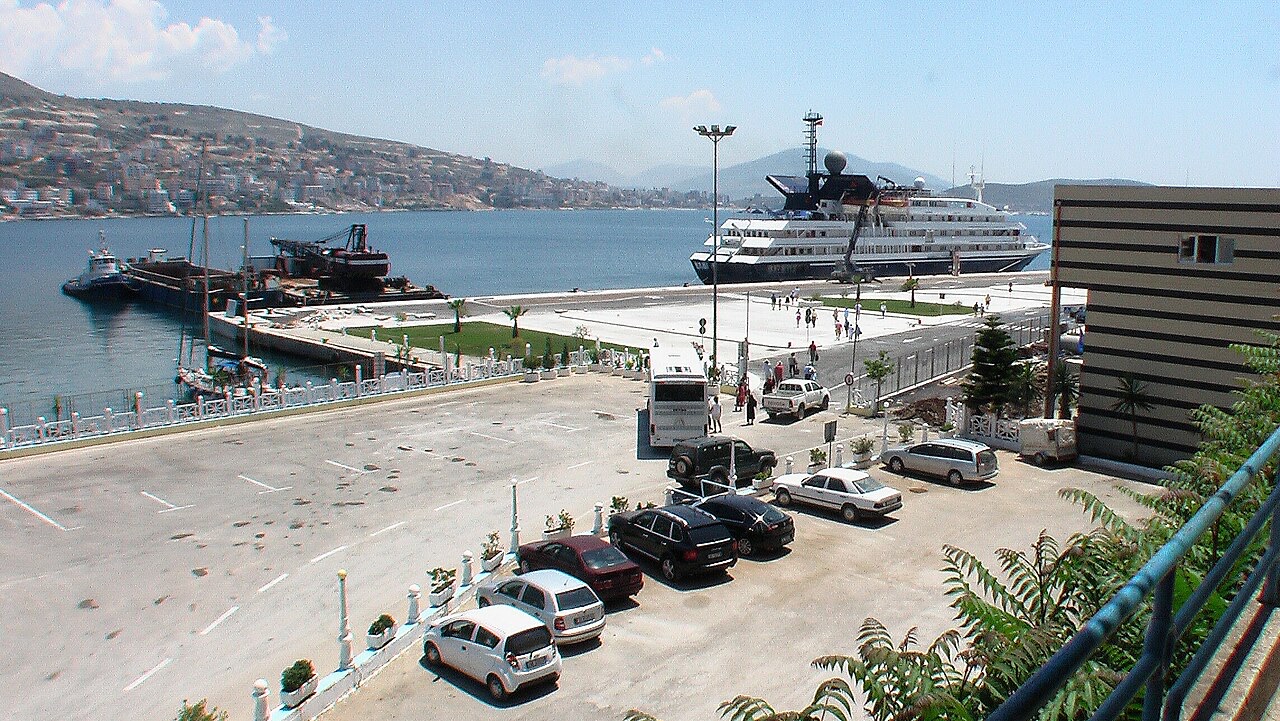
City · Vlorë
The Ionian resort town facing Corfu, and the arrival point for most visitors to southern Albania.
Town · Vlorë
Four small islands and very clear shallow water; the most photographed and most crowded stretch of the Albanian coast.
Ferry route · Vlorë
The busiest sea crossing into southern Albania, and the usual day-trip link with Greece.
Something wrong on this page? Corrections are welcome and are checked against the source record. Tell us what is wrong and, if you can, where the right figure comes from.
