城镇
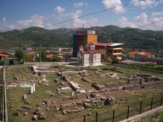
Ballsh
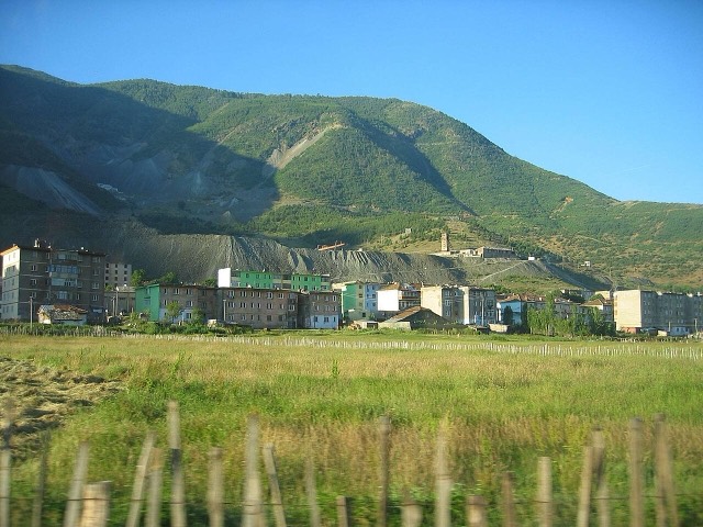
The seat of Mallakastër and the site of Albania's main oil refinery, near the ruins of Byllis.
🧭 引导视图
初次了解阿尔巴尼亚?每个页面均以通俗易懂的说明开篇——即便是十岁的孩子也能读懂——随后再展开详细内容。
⚡ 专业视图
您已掌握基础知识。直接进入正题,简明解释默认隐藏。此为默认模式。
探索
Atlas收录的所有地点。可按类型、county或主题筛选。
The seat of Mallakastër and the site of Albania's main oil refinery, near the ruins of Byllis.
A chromium mining town — Albania is among the world's larger chrome producers.
A town founded around an oil refinery in the 1950s.
A central industrial city inside an Ottoman fortress wall, on the old Via Egnatia.
A central industrial and agricultural county on the Shkumbin river, historically the road east.
The industrial town on the plain below Krujë, and the site of Albania's largest cement works.
An oil town and air base, called Qyteti Stalin from 1950 to 1990.
An industrial town and the site of the Saint Anthony pilgrimage church at Shëngjin i Vogël.
A town on a drained marsh plain, built around a sugar refinery in the 1950s.
The centre of the Patos-Marinza field, the largest onshore oil field in continental Europe.
A small town below Mount Tomorr built around a former arms factory.
A bitumen-mining town inland from Vlorë, worked since antiquity.