City · Gjirokastër
Gjirokastër
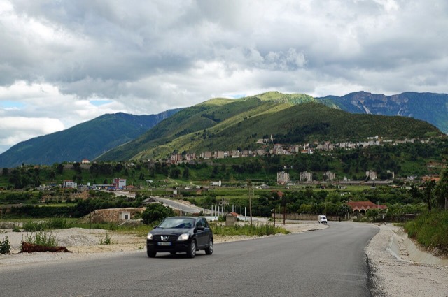
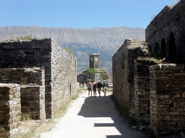
The 'stone city': slate-roofed tower houses on a steep slope beneath one of the Balkans' largest castles.
Every county, coast and century
Guided view
New to Albania? Every page opens with a plain-language explanation you could read to a ten-year-old, before the detail begins.
Expert view
You already know the basics. Straight to the substance, with the simple explanations hidden. This is the default.
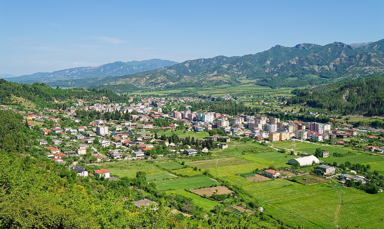
Town · Gjirokastër County
A small Vjosa-side town known for its fruit preserves, thermal baths and polyphonic singing.
Save
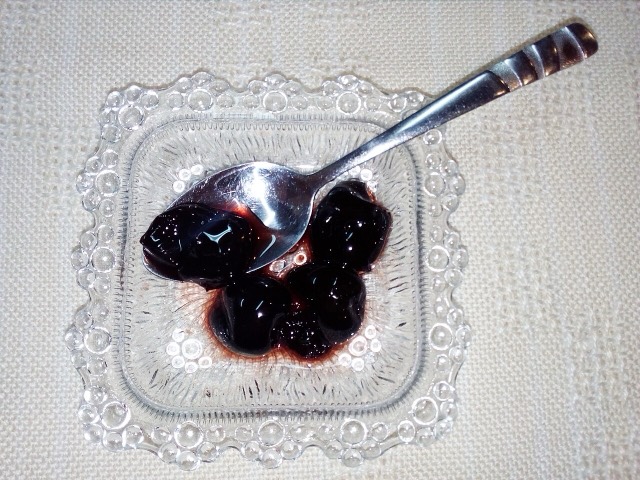
Përmet is a quiet town beside the Vjosa river in the south. It is known for gliko — fruit boiled in syrup — for hot springs in a nearby canyon, and for a very old style of group singing with no instruments.
Përmet is a quiet town beside the Vjosa river in the south. It is known for gliko — fruit boiled in syrup — for hot springs in a nearby canyon, and for a very old style of group singing with no instruments.
The warmest month is August (mean daily high 31°C), the coldest is January (mean daily low 2°C), and the wettest is November (165 mm). Total annual rainfall averages 1,184 mm.
| Month | High | Low | Rain | Wet days | Sun/day |
|---|---|---|---|---|---|
| January | 10°C | 2°C | 136 mm | 12 | 6.6 h |
| February | 11°C | 3°C | 120 mm | 11 | 7.5 h |
| March | 14°C | 5°C | 117 mm | 12 | 9.0 h |
| April | 18°C | 8°C | 96 mm | 14 | 10.4 h |
| May | 23°C | 13°C | 81 mm | 12 | 11.7 h |
| June | 28°C | 17°C | 52 mm | 8 | 13.5 h |
| July | 31°C | 19°C | 26 mm | 6 | 13.7 h |
| August | 31°C | 20°C | 28 mm | 6 | 12.8 h |
| September | 26°C | 16°C | 91 mm | 9 | 10.5 h |
| October | 21°C | 12°C | 116 mm | 9 | 8.9 h |
| November | 16°C | 8°C | 165 mm | 12 | 6.8 h |
| December | 11°C | 4°C | 156 mm | 12 | 6.1 h |
Source: ERA5 reanalysis via Open-Meteo, 1994–2023 · “High” and “Low” are mean daily maximum and minimum air temperature. “Wet days” counts days with at least 1 mm of precipitation.
City · Gjirokastër
The 'stone city': slate-roofed tower houses on a steep slope beneath one of the Balkans' largest castles.
River · Gjirokastër
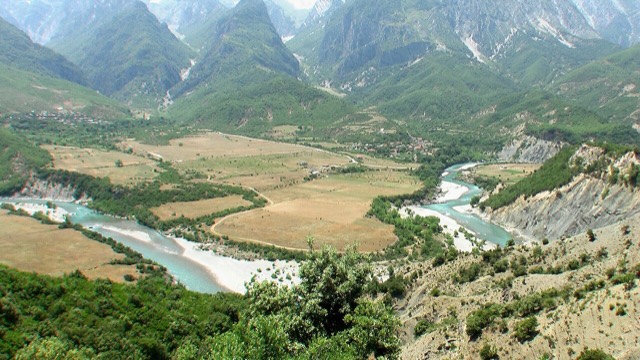
One of the last large free-flowing rivers in Europe, declared a Wild River National Park in March 2023.
Protected area · Gjirokastër
Declared in March 2023, Europe's first national park built around a whole free-flowing river system.
Spring · Gjirokastër
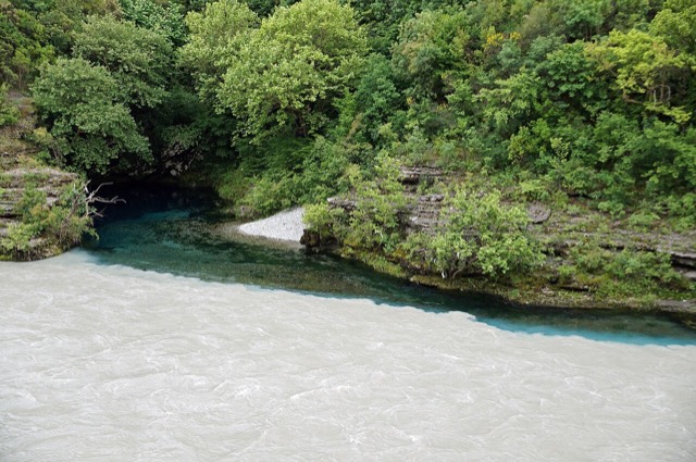
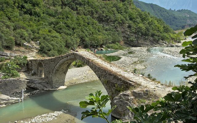
Sulphur pools beside the Ottoman Katiu bridge, at the mouth of the Lengarica canyon.
Person
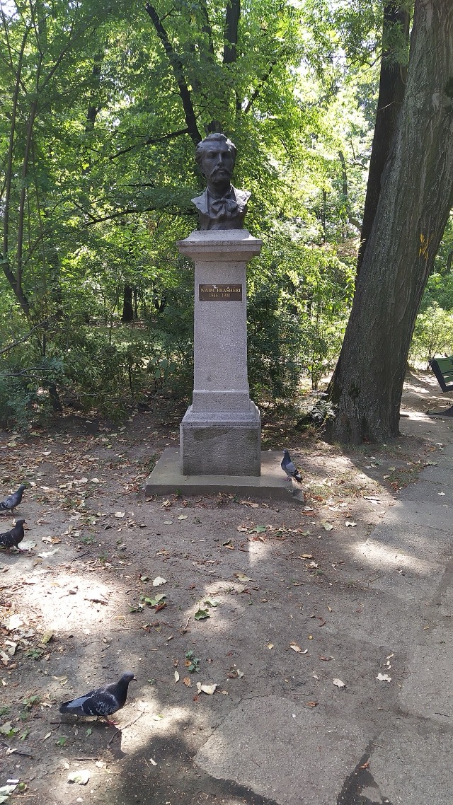
The most influential writer of the Rilindja, and one of three brothers central to the national movement.
Subject
Multipart unaccompanied singing over a held drone, inscribed by UNESCO in 2005.
Something wrong on this page? Corrections are welcome and are checked against the source record. Tell us what is wrong and, if you can, where the right figure comes from.