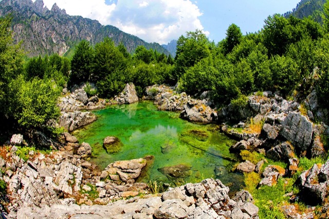
कस्बा
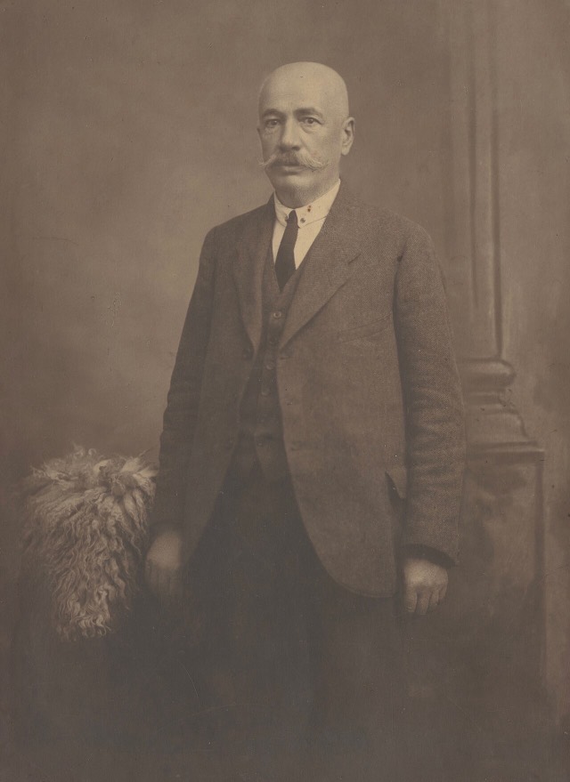
Bajram Curri
The road head for the Valbona valley, named after a guerrilla leader of the 1920s.
🧭 निर्देशित दृश्य
Albania में नए हैं? हर पृष्ठ एक सरल-भाषा स्पष्टीकरण के साथ खुलता है जिसे आप किसी दस वर्षीय बच्चे को पढ़ कर सुना सकते हैं, इससे पहले कि विस्तृत जानकारी शुरू हो।
⚡ विशेषज्ञ दृश्य
आप मूल बातें पहले से जानते हैं। सीधे मूल विषय पर, सरल स्पष्टीकरण छिपे हुए। यह डिफ़ॉल्ट है।
अन्वेषण करें
Atlas में हर स्थान। प्रकार, county या विषय के अनुसार फ़िल्टर करें।
The road head for the Valbona valley, named after a guerrilla leader of the 1920s.
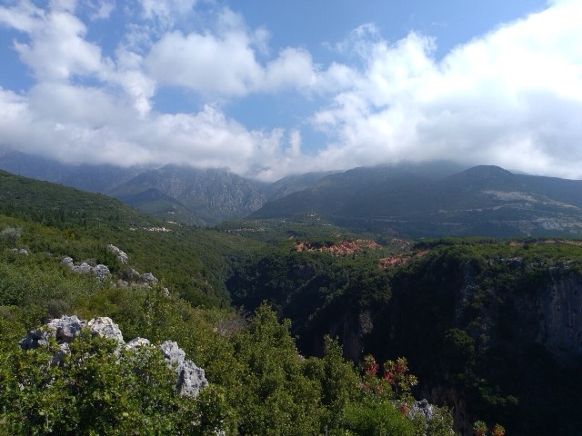
A narrow limestone slot that meets the sea at Gjipe beach — the Riviera's one true canyon.
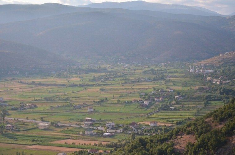
The north-eastern highlands on the Kosovo border, the gateway to the Valbona valley.
The limestone wall of the far north — locally the Accursed Mountains — shared with Montenegro and Kosovo.
A glacial valley village in the Albanian Alps: a lock-in tower, a waterfall, and one end of the country's best-known…
The glacial valley park at the heart of the Albanian Alps, merged into a wider protected complex in 2022.
A broad U-shaped glacial valley of white gravel and beech forest under the Alps' highest peaks.
A wide white riverbed under 2,500 m peaks; the eastern end of the Theth trek.
![Title: A chief of Thethi, Tribe of Shale [i.e. Shala], Albania Abstract/medium: 1 photographic print.](/static/img/thumbs/theth-4.jpg)