Stad · Berat
Berat
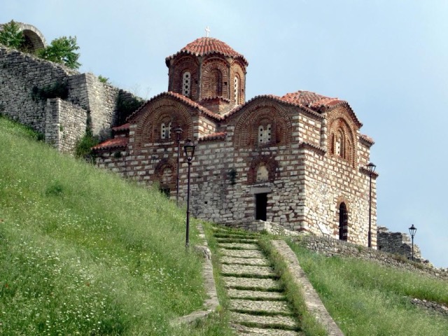
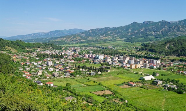
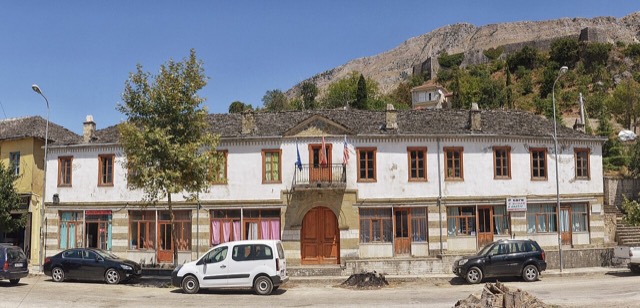
The 'city of a thousand windows': an Ottoman hill town under a still-inhabited castle, UNESCO-listed since 2008.
Elke provincie, elke kust, elke eeuw
Begeleidende weergave
Nieuw in Albanië? Elke pagina begint met een uitleg in eenvoudige taal die u aan een tienjarige zou kunnen voorlezen, voordat de details beginnen.
Expertweergave
U kent de basis al. Meteen naar de kern, met de eenvoudige uitleg verborgen. Dit is de standaardinstelling.
Every place in the Atlas, arranged by geography and by type — start with the map or the twelve counties.
Van de hoofdstad Tirana tot de Ottomaanse stenen steden Berat en Gjirokastër en de oude havens van Durrës en Vlorë.
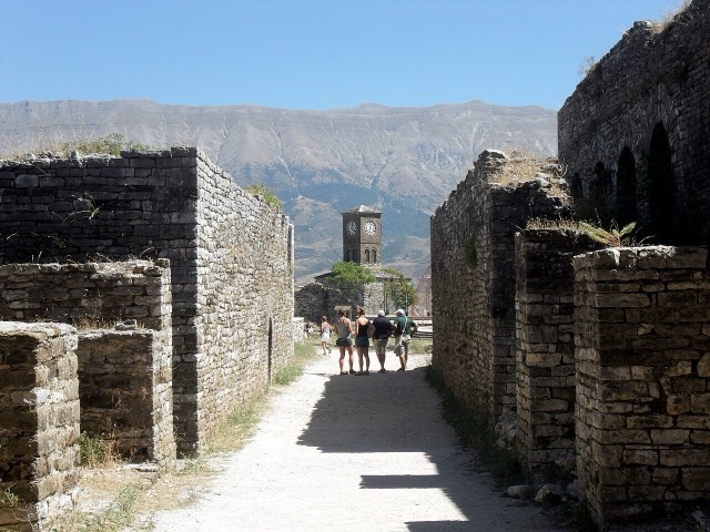
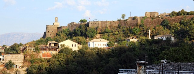
Stad · Berat
The 'city of a thousand windows': an Ottoman hill town under a still-inhabited castle, UNESCO-listed since 2008.
Stad · Gjirokastër
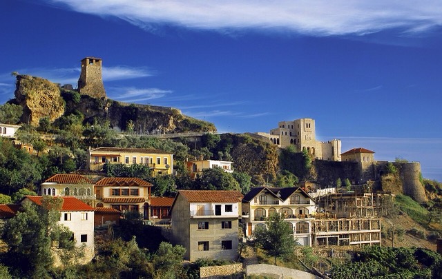
The 'stone city': slate-roofed tower houses on a steep slope beneath one of the Balkans' largest castles.
Stad · Tiranë
The capital: a fast-changing city of painted blocks, Ottoman survivals and new towers, under Mount Dajti.
Stad · Shkodër
The cultural capital of the north: a lake, a fortress, a bicycle city and a Catholic heartland.
Stad · Vlorë
The Ionian resort town facing Corfu, and the arrival point for most visitors to southern Albania.
Stad · Vlorë
Where the Adriatic meets the Ionian, and where Albanian independence was declared in 1912.
Stad · Durrës
Albania's principal port and its oldest continuously inhabited city, founded as Epidamnos in 627 BC.
Stad · Korçë
The highland city of serenades, the first Albanian-language school, and the country's oldest brewery.
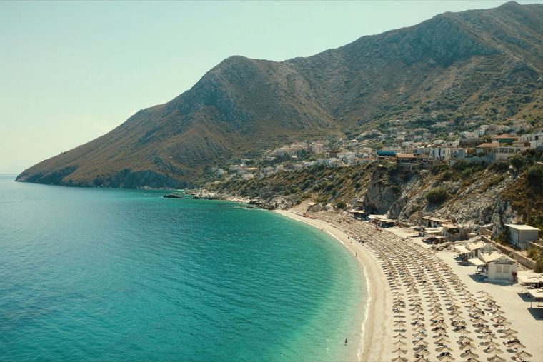
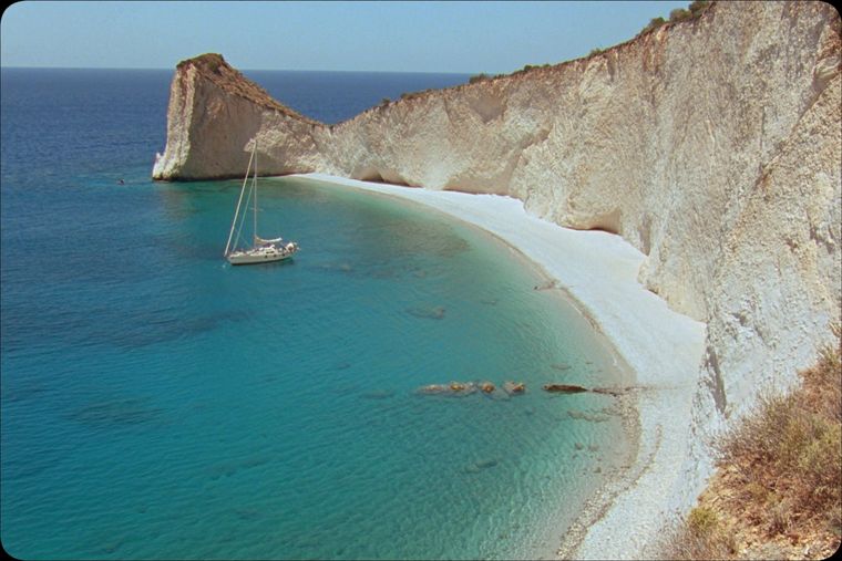
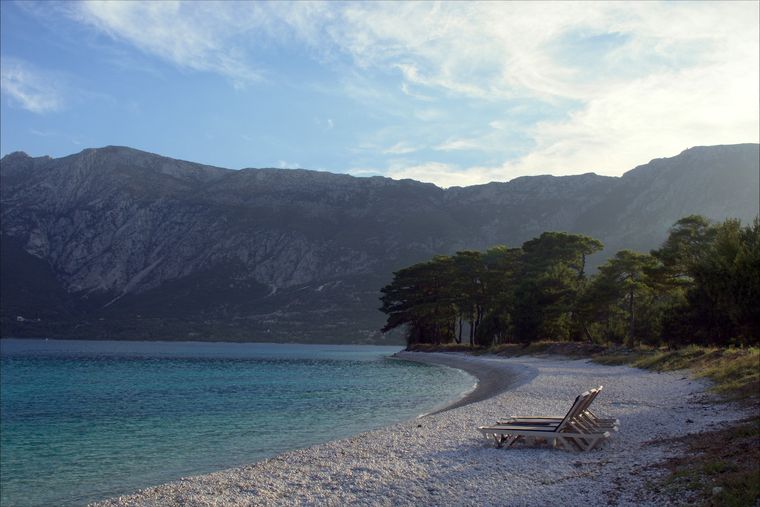
De kiezelbaaien en eilandjes van de Ionische Rivièra en de lange zandstranden van de Adriatische Zee.
Strand · Vlorë
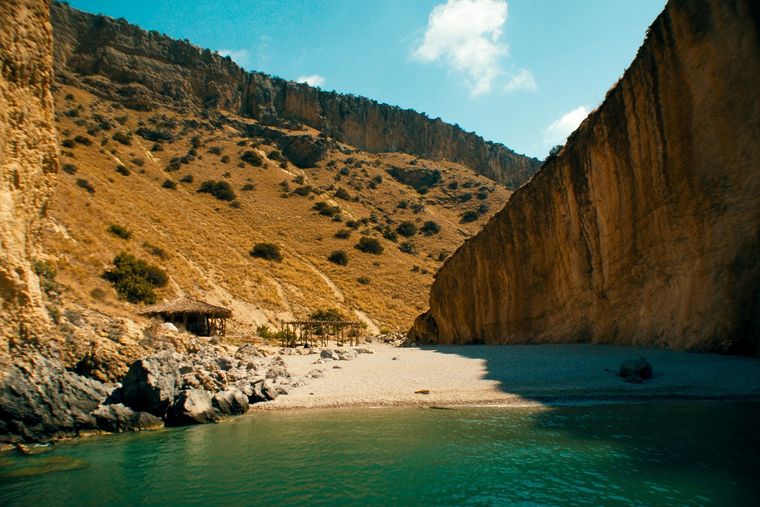
A pebble beach at the mouth of a limestone canyon, reachable only on foot or by boat.
Strand · Vlorë
A long white pebble shore under the Ceraunian ridge, and the Riviera's main nightlife strip.
Strand · Vlorë
A remote bay on the Karaburun peninsula whose cliffs carry Greek and Latin inscriptions cut by ancient sailors.
Strand · Vlorë
The pine-backed northern half of the Dhërmi bay, slightly quieter than the main strip.
Strand · Vlorë
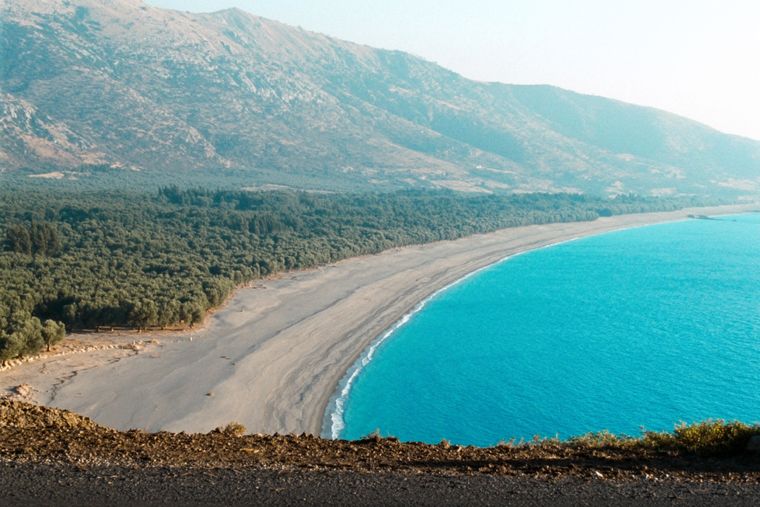
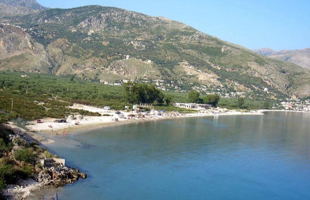
At roughly 7 km, the longest single beach on the Riviera, backed by one of Albania's largest olive groves.
Strand · Vlorë
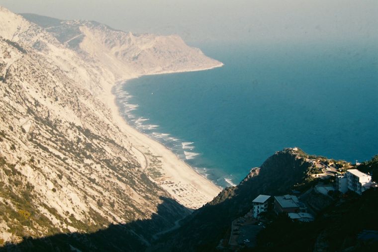
The first Riviera beach south of the Llogara pass, below the road's most dramatic descent.
Strand · Vlorë
A run of small coves — Bunec, Krorëz and Shpella — below the village of Lukovë.
De Albanese Alpen in het noorden, de Korab aan de oostgrens, de Tomorr boven Berat en de Ceraunische kam boven de Rivièra.
Bergketen · Shkodër
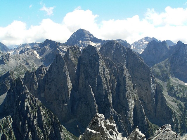
The limestone wall of the far north — locally the Accursed Mountains — shared with Montenegro and Kosovo.
Berg · Shkodër
At 2,694 m the highest peak entirely inside the Dinaric Alps, deep in the Albanian Alps.
Berg · Dibër
At 2,764 m the highest point in both Albania and North Macedonia, on the border ridge.
Bergketen · Vlorë
The coastal ridge that makes the Riviera: 2,000 m peaks rising directly out of the Ionian.
Berg · Berat
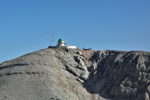
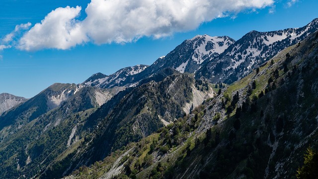
A 2,416 m massif above Berat, and the site of an annual Bektashi pilgrimage each August.
Berg · Vlorë
The 2,045 m high point of the Ceraunian ridge, directly above the Riviera coast.
Berg · Tiranë
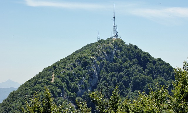
Tirana's own mountain: 1,613 m, a national park, and a 4.2 km cable car from the city edge.
Illyrische heuvelsteden, Griekse en Romeinse steden, Ottomaanse burchten en de bunkers uit de communistische jaren.
Historische site · Vlorë
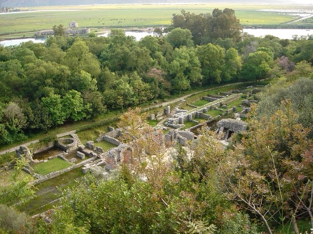
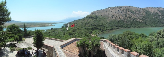
A Greek, Roman, Byzantine, Venetian and Ottoman city layered on one wooded peninsula — Albania's first UNESCO site.
Historische site · Berat
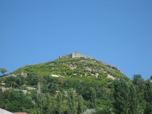
A fortress people still live inside, holding some twenty churches and the Onufri icon museum.
Historische site · Gjirokastër
One of the largest castles in the Balkans, holding an artillery gallery and a captured US aircraft.
Historische site · Fier
A Corinthian colony that became a Roman university town — Octavian was studying here when Caesar was killed.
Historische site · Shkodër
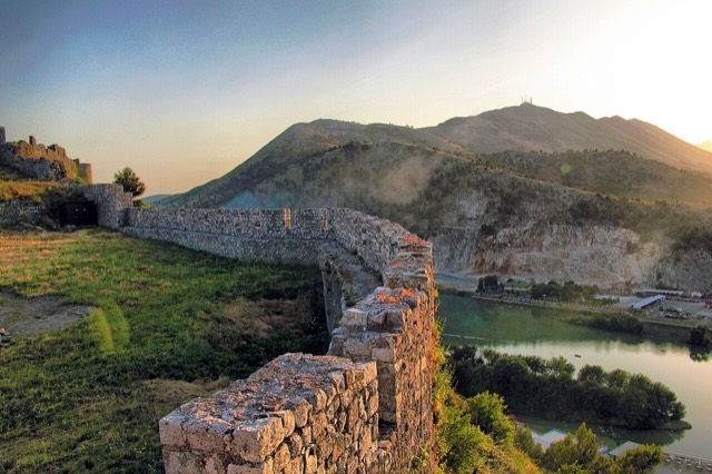
The rock fortress above the meeting of three rivers, and the setting of Albania's best-known legend.
Historische site · Durrës
Skanderbeg's base, which held out against three Ottoman sieges and now houses the national museum of the resistance.
Historische site · Durrës
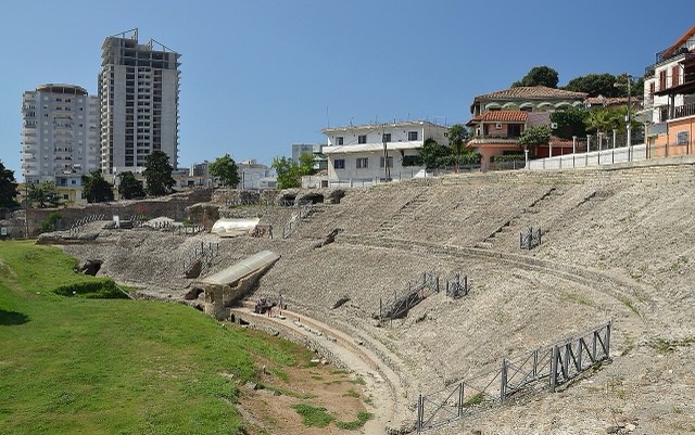
The largest Roman amphitheatre in the Balkans, found by accident in 1966 under the modern city.
Historische site · Fier
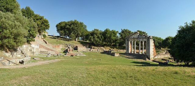
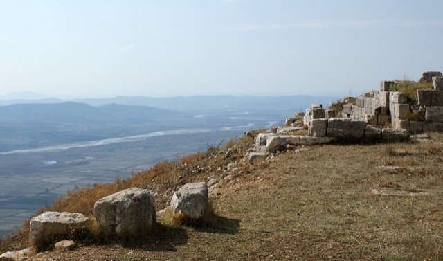
The largest Illyrian city yet excavated, on a plateau above the Vjosa with five early Christian basilicas.
Alpendalen, kustlagunes, oude beukenbossen en het enige zeepark van het land.
Beschermd gebied · Kukës
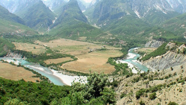
A broad U-shaped glacial valley of white gravel and beech forest under the Alps' highest peaks.
Beschermd gebied · Shkodër
The glacial valley park at the heart of the Albanian Alps, merged into a wider protected complex in 2022.
Beschermd gebied · Vlorë
A pine-forested pass at 1,027 m where the road drops from mountain forest to the Ionian in a few kilometres.
Beschermd gebied · Vlorë
A wetland and forest park wrapped around the archaeological city, on the Vivari channel.
Beschermd gebied · Vlorë
Albania's only marine national park: sea caves, wrecks and the country's clearest water.
Beschermd gebied · Gjirokastër
Declared in March 2023, Europe's first national park built around a whole free-flowing river system.
Beschermd gebied · Fier
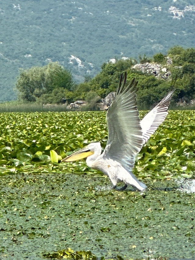
Coastal pine forest, dunes and lagoon protecting the region's Dalmatian pelican colony.
Beschermd gebied · Elbasan
Old-growth beech forest on the North Macedonian border, part of a UNESCO-listed primeval forest network.
Ohrid, Prespa en Shkodër op de grenzen, de kloofmeren van de Drin en de lagunes aan de kust.
Meer · Shkodër
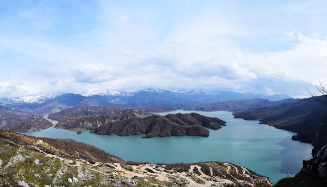
A 34 km reservoir in a gorge so narrow the ferry crossing is treated as a scenic journey in its own right.
Meer · Korçë
One of Europe's oldest and deepest lakes, UNESCO-listed and home to species found nowhere else.
Meer · Shkodër
The largest lake in southern Europe, shared with Montenegro and a major bird wintering ground.
Meer · Korçë
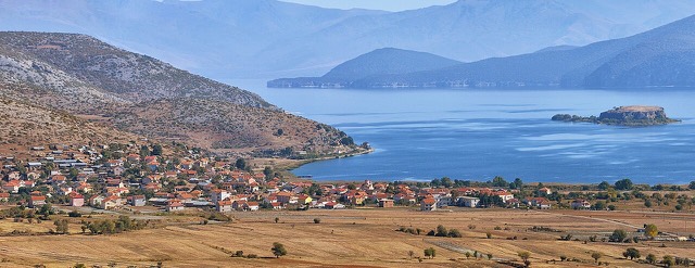
A high tectonic lake where Albania, Greece and North Macedonia meet, draining underground into Ohrid.
Meer · Fier
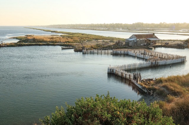
The largest lagoon in Albania and the western Balkans' main breeding site for the Dalmatian pelican.
Meer · Vlorë
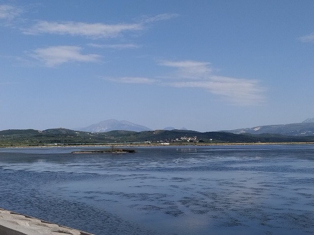
Albania's second-largest lagoon, with working saltpans and the island monastery of Zvërnec.
Meer · Tiranë
Tirana's drinking-water reservoir, ringed by limestone cliffs half an hour from the capital.
De Vjosa, een van de laatste wilde rivieren van Europa, en de Shala, Osum, Drin, Shkumbin en Buna.
Rivier · Gjirokastër
One of the last large free-flowing rivers in Europe, declared a Wild River National Park in March 2023.
Rivier · Shkodër
A tributary of the Drin above Koman, reached by boat and often called Albania's Thailand.
Rivier · Shkodër
Albania's longest river and the backbone of its electricity system, dammed three times in the north.
Rivier · Elbasan
The river that splits Albania in two — the historic dividing line between Gheg and Tosk.
Stenen dorpen in de Alpen, boven de Rivièra en in de heuvels van het zuidoosten.
Dorp · Shkodër
A glacial valley village in the Albanian Alps: a lock-in tower, a waterfall, and one end of the country's best-known trek.
Dorp · Vlorë
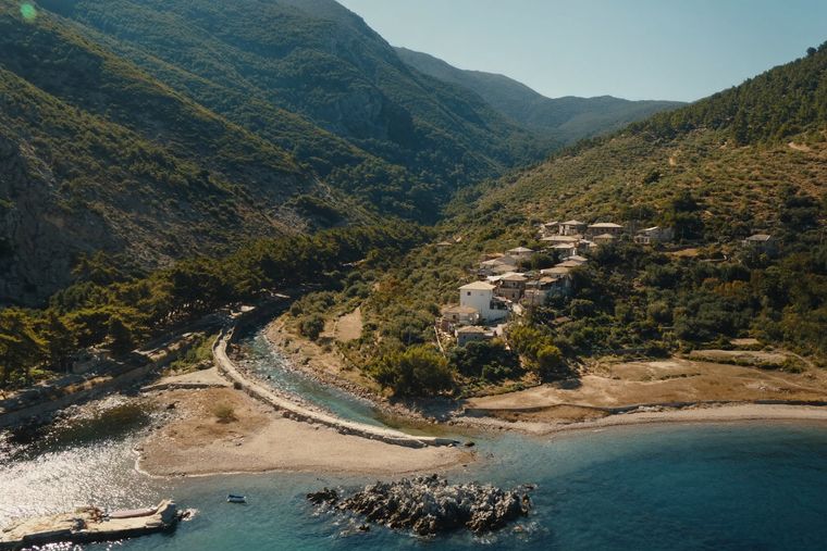
An old white village on the slope above one of the Riviera's longest pebble beaches.
Dorp · Korçë
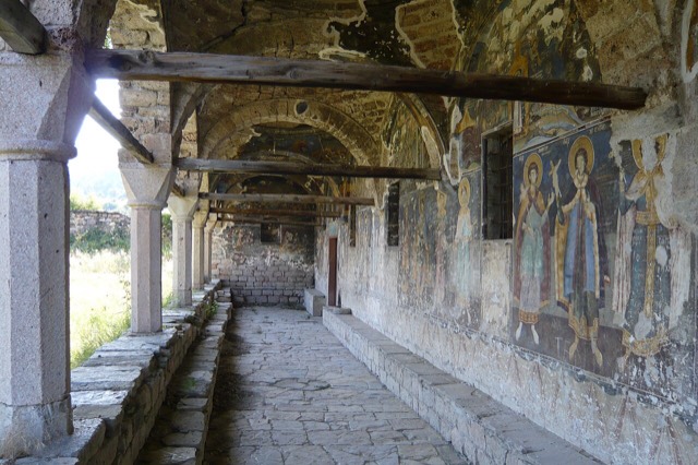
In the 18th century one of the largest towns in the Balkans; today a village of frescoed churches.
Dorp · Korçë
A stone village at 1,340 m in the Morava mountains, one of Albania's small ski destinations.
Dorp · Korçë
A peninsula village on Lake Ohrid with a 6th-century basilica floor mosaic and a prehistoric pile settlement.
Marktstadjes, bergplaatsen en badplaatsen, van Krujë en Himarë tot de kleine stadjes in het binnenland.
Plaats · Durrës
Skanderbeg's mountain stronghold, an old bazaar street, and the national museum of the resistance.
Plaats · Vlorë
The centre of the Riviera coast: a Greek-speaking historical community, an old hill village and a string of coves.
Plaats · Vlorë
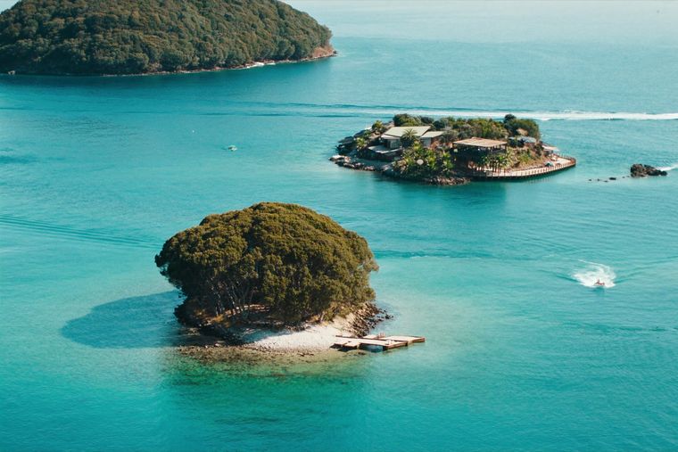
Four small islands and very clear shallow water; the most photographed and most crowded stretch of the Albanian coast.
Plaats · Gjirokastër
A small Vjosa-side town known for its fruit preserves, thermal baths and polyphonic singing.
Plaats · Korçë
A lakeside town on Ohrid, a UNESCO natural and cultural site shared with North Macedonia.
Plaats · Lezhë
Where the Albanian princes swore their 1444 league, and where Skanderbeg is buried.
Plaats · Gjirokastër
A hill town below a castle built by Ali Pasha for his sister, opposite Gjirokastër.
De kloven van de Osum en Gjipe, de watervallen van de Alpen en de bron het Blauwe Oog.
Bron · Vlorë
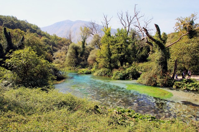
A karst spring of extraordinary clarity whose bottom has never been definitively reached.
Canyon · Berat
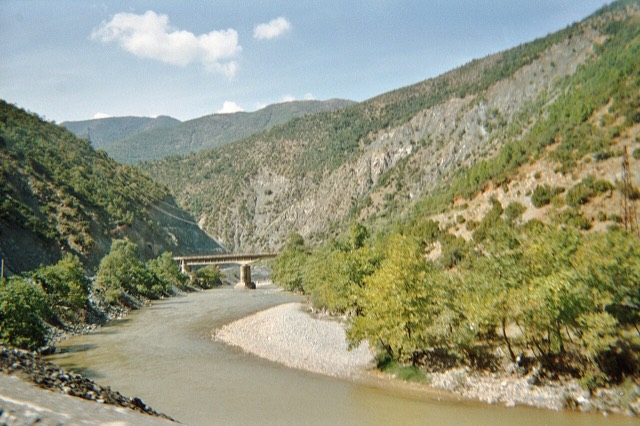
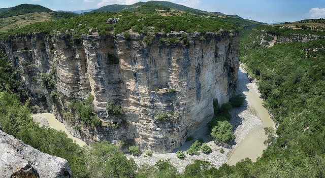
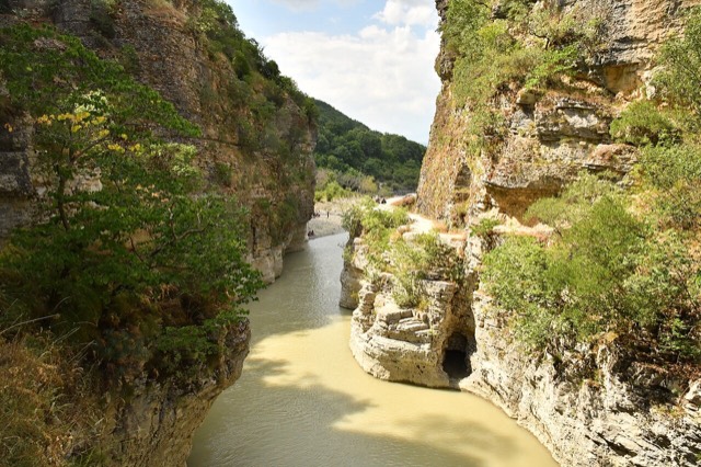
A 26 km limestone gorge up to 80 m deep, run by raft in spring and walked in late summer.
Canyon · Vlorë
A narrow limestone slot that meets the sea at Gjipe beach — the Riviera's one true canyon.
Bron · Gjirokastër
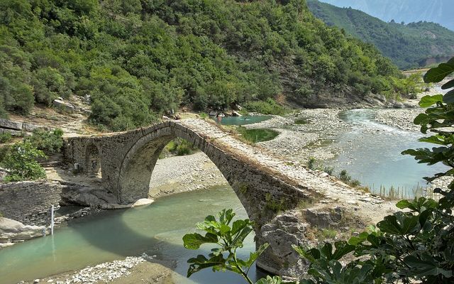
Sulphur pools beside the Ottoman Katiu bridge, at the mouth of the Lengarica canyon.
Waterval · Shkodër
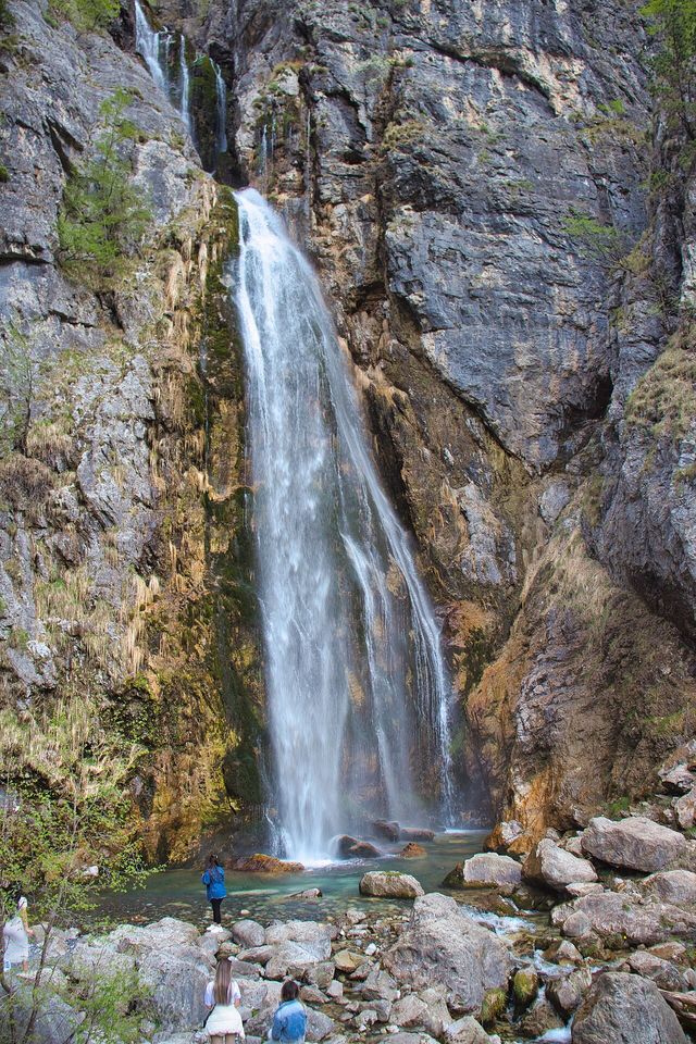
A 25–30 m fall in the Theth valley, and a declared natural monument.
Waterval · Berat
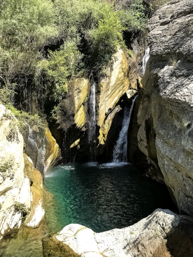
A cold spring-fed fall and pool in the Tomorr foothills near Berat.
Albanië is verdeeld in twaalf provincies, elk vernoemd naar de hoofdplaats. Kies er een op de kaart of uit de lijst.
Grenzen: geoBoundaries gbOpen ALB ADM1 (publiek domein)