都市 · Berat
Berat
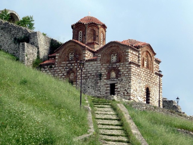
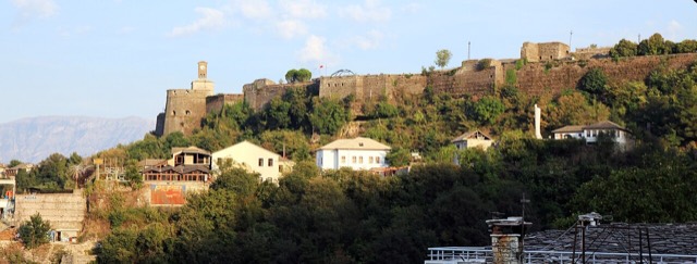
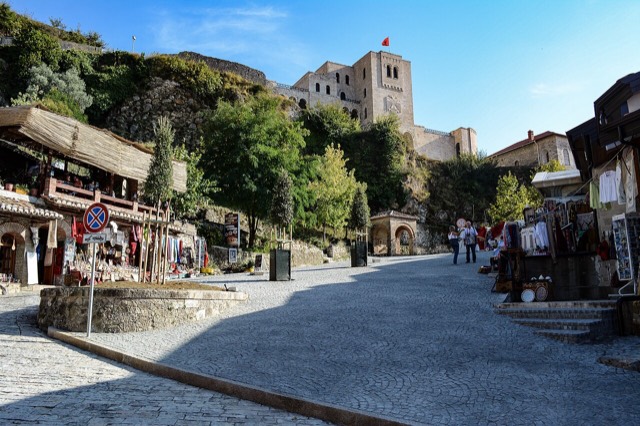
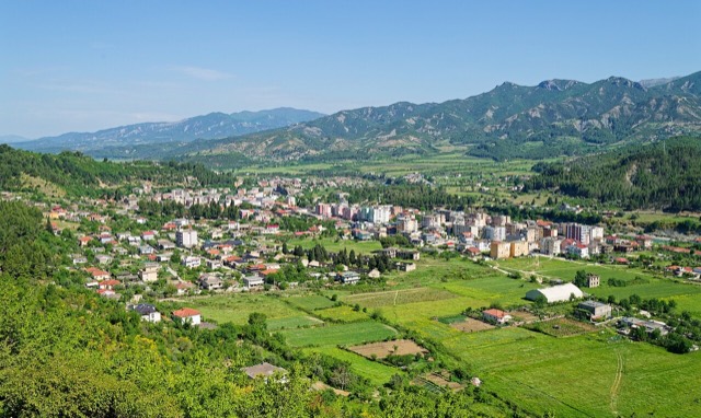
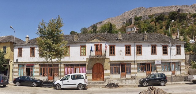
The 'city of a thousand windows': an Ottoman hill town under a still-inhabited castle, UNESCO-listed since 2008.
すべての県、すべての海岸、すべての世紀
ガイドビュー
アルバニアを初めて知る方へ。各ページは、詳細に入る前に、10歳の子どもにも読み聞かせられる平易な説明から始まります。
エキスパートビュー
基本知識はすでにお持ちの方向け。平易な説明を非表示にし、内容を直接表示します。これがデフォルトです。
Every place in the Atlas, arranged by geography and by type — start with the map or the twelve counties.
都市 · Berat
The 'city of a thousand windows': an Ottoman hill town under a still-inhabited castle, UNESCO-listed since 2008.
都市 · Gjirokastër
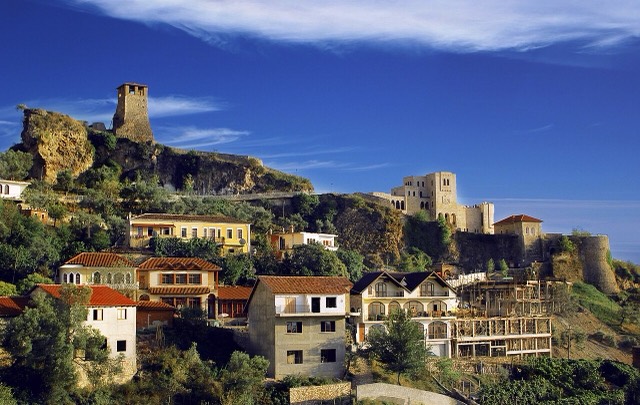
The 'stone city': slate-roofed tower houses on a steep slope beneath one of the Balkans' largest castles.
都市 · Tiranë
The capital: a fast-changing city of painted blocks, Ottoman survivals and new towers, under Mount Dajti.
都市 · Shkodër
The cultural capital of the north: a lake, a fortress, a bicycle city and a Catholic heartland.
都市 · Vlorë
The Ionian resort town facing Corfu, and the arrival point for most visitors to southern Albania.
都市 · Vlorë
Where the Adriatic meets the Ionian, and where Albanian independence was declared in 1912.
都市 · Durrës
Albania's principal port and its oldest continuously inhabited city, founded as Epidamnos in 627 BC.
都市 · Korçë
The highland city of serenades, the first Albanian-language school, and the country's oldest brewery.
ビーチ · Vlorë
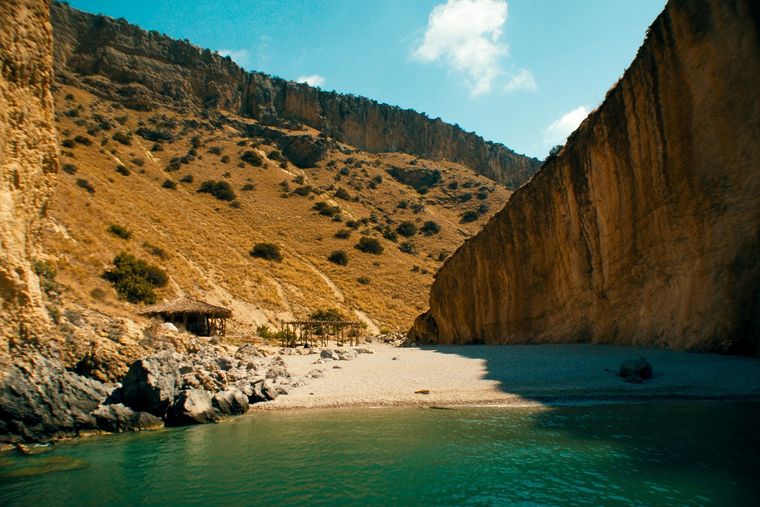
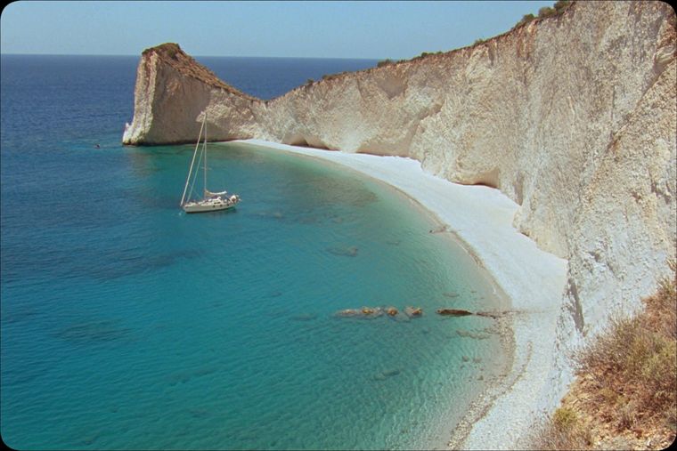
A pebble beach at the mouth of a limestone canyon, reachable only on foot or by boat.
ビーチ · Vlorë
A long white pebble shore under the Ceraunian ridge, and the Riviera's main nightlife strip.
ビーチ · Vlorë
A remote bay on the Karaburun peninsula whose cliffs carry Greek and Latin inscriptions cut by ancient sailors.
ビーチ · Vlorë
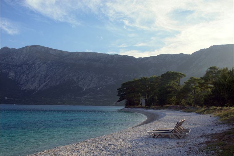
The pine-backed northern half of the Dhërmi bay, slightly quieter than the main strip.
ビーチ · Vlorë
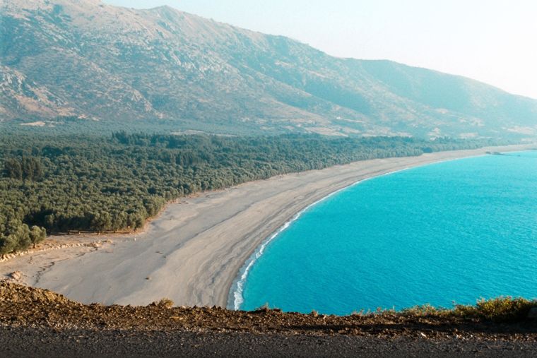
At roughly 7 km, the longest single beach on the Riviera, backed by one of Albania's largest olive groves.
ビーチ · Vlorë
The first Riviera beach south of the Llogara pass, below the road's most dramatic descent.
ビーチ · Vlorë
A run of small coves — Bunec, Krorëz and Shpella — below the village of Lukovë.
山脈 · Shkodër
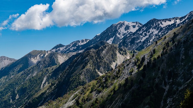
The limestone wall of the far north — locally the Accursed Mountains — shared with Montenegro and Kosovo.
山 · Shkodër
At 2,694 m the highest peak entirely inside the Dinaric Alps, deep in the Albanian Alps.
山 · Dibër
At 2,764 m the highest point in both Albania and North Macedonia, on the border ridge.
山脈 · Vlorë
The coastal ridge that makes the Riviera: 2,000 m peaks rising directly out of the Ionian.
山 · Berat
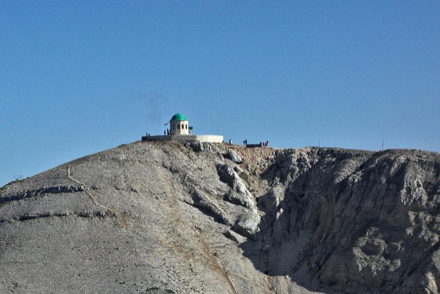
A 2,416 m massif above Berat, and the site of an annual Bektashi pilgrimage each August.
山 · Vlorë
The 2,045 m high point of the Ceraunian ridge, directly above the Riviera coast.
山 · Tiranë
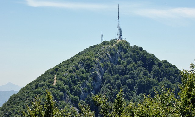
Tirana's own mountain: 1,613 m, a national park, and a 4.2 km cable car from the city edge.
史跡 · Vlorë
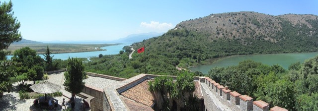
A Greek, Roman, Byzantine, Venetian and Ottoman city layered on one wooded peninsula — Albania's first UNESCO site.
史跡 · Berat
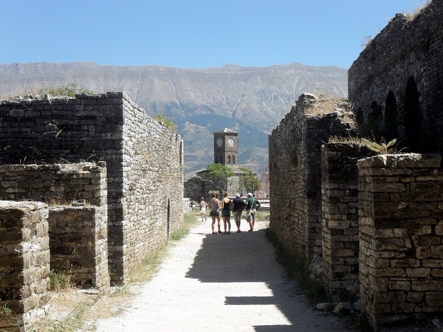
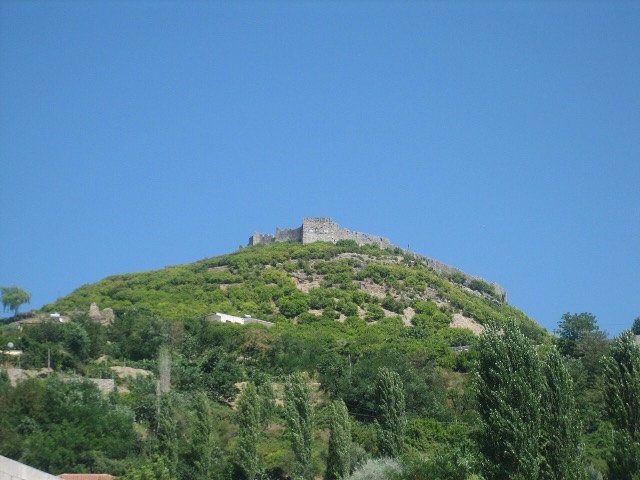
A fortress people still live inside, holding some twenty churches and the Onufri icon museum.
史跡 · Gjirokastër
One of the largest castles in the Balkans, holding an artillery gallery and a captured US aircraft.
史跡 · Fier
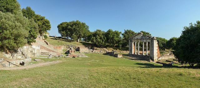
A Corinthian colony that became a Roman university town — Octavian was studying here when Caesar was killed.
史跡 · Shkodër
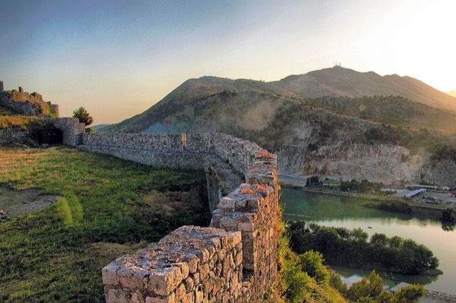
The rock fortress above the meeting of three rivers, and the setting of Albania's best-known legend.
史跡 · Durrës
Skanderbeg's base, which held out against three Ottoman sieges and now houses the national museum of the resistance.
史跡 · Durrës
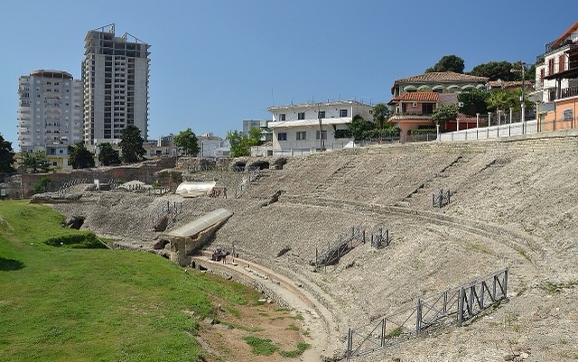
The largest Roman amphitheatre in the Balkans, found by accident in 1966 under the modern city.
史跡 · Fier
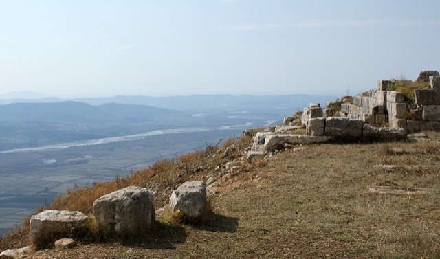
The largest Illyrian city yet excavated, on a plateau above the Vjosa with five early Christian basilicas.
保護区域 · Kukës
A broad U-shaped glacial valley of white gravel and beech forest under the Alps' highest peaks.
保護区域 · Shkodër
The glacial valley park at the heart of the Albanian Alps, merged into a wider protected complex in 2022.
保護区域 · Vlorë
A pine-forested pass at 1,027 m where the road drops from mountain forest to the Ionian in a few kilometres.
保護区域 · Vlorë
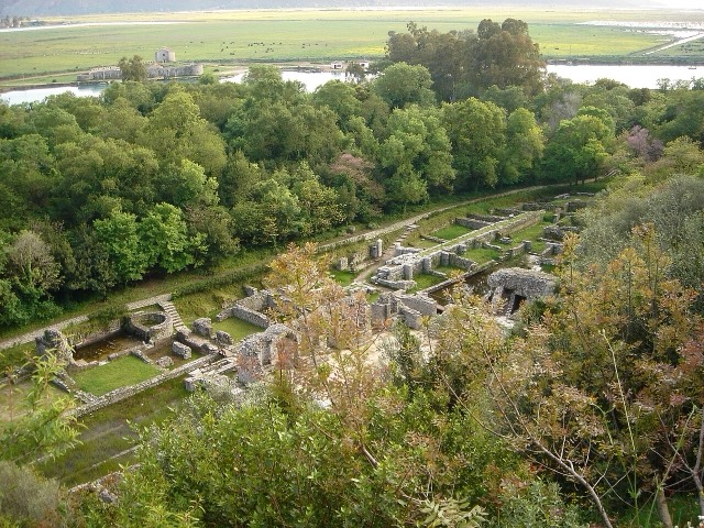
A wetland and forest park wrapped around the archaeological city, on the Vivari channel.
保護区域 · Vlorë
Albania's only marine national park: sea caves, wrecks and the country's clearest water.
保護区域 · Gjirokastër
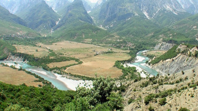
Declared in March 2023, Europe's first national park built around a whole free-flowing river system.
保護区域 · Fier
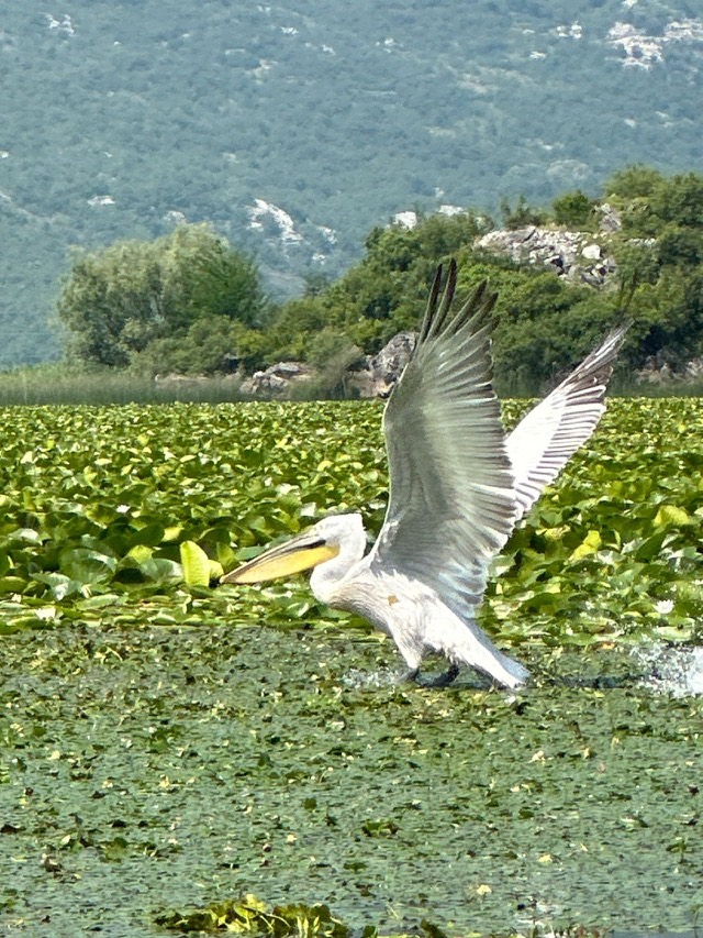
Coastal pine forest, dunes and lagoon protecting the region's Dalmatian pelican colony.
保護区域 · Elbasan
Old-growth beech forest on the North Macedonian border, part of a UNESCO-listed primeval forest network.
湖 · Shkodër
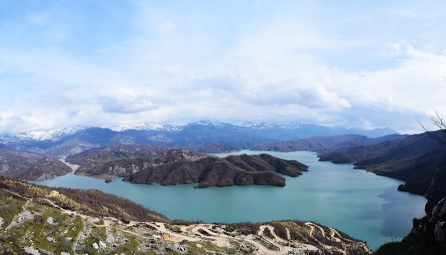
A 34 km reservoir in a gorge so narrow the ferry crossing is treated as a scenic journey in its own right.
湖 · Korçë
One of Europe's oldest and deepest lakes, UNESCO-listed and home to species found nowhere else.
湖 · Shkodër
The largest lake in southern Europe, shared with Montenegro and a major bird wintering ground.
湖 · Korçë
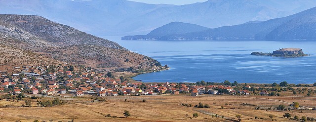
A high tectonic lake where Albania, Greece and North Macedonia meet, draining underground into Ohrid.
湖 · Fier
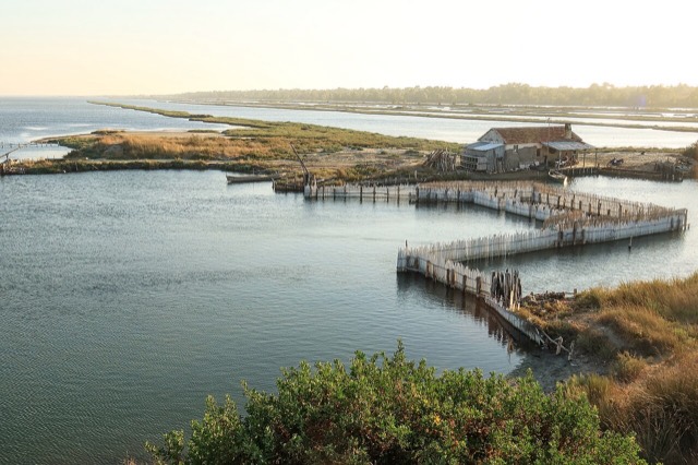
The largest lagoon in Albania and the western Balkans' main breeding site for the Dalmatian pelican.
湖 · Vlorë
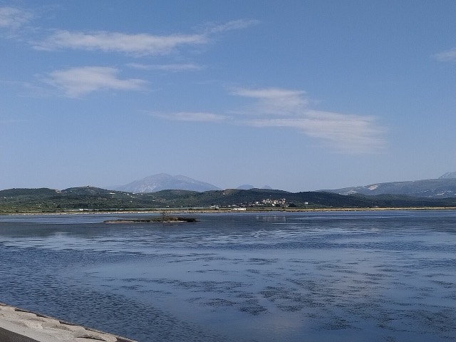
Albania's second-largest lagoon, with working saltpans and the island monastery of Zvërnec.
湖 · Tiranë
Tirana's drinking-water reservoir, ringed by limestone cliffs half an hour from the capital.
川 · Gjirokastër
One of the last large free-flowing rivers in Europe, declared a Wild River National Park in March 2023.
川 · Shkodër
A tributary of the Drin above Koman, reached by boat and often called Albania's Thailand.
川 · Shkodër
Albania's longest river and the backbone of its electricity system, dammed three times in the north.
川 · Elbasan
The river that splits Albania in two — the historic dividing line between Gheg and Tosk.
村 · Shkodër
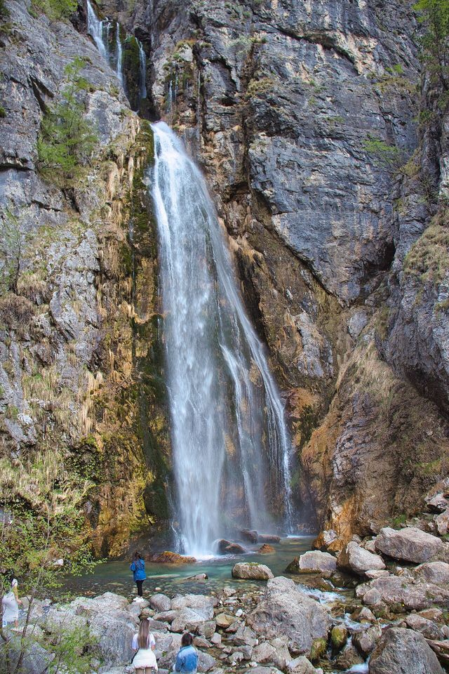
A glacial valley village in the Albanian Alps: a lock-in tower, a waterfall, and one end of the country's best-known trek.
村 · Vlorë
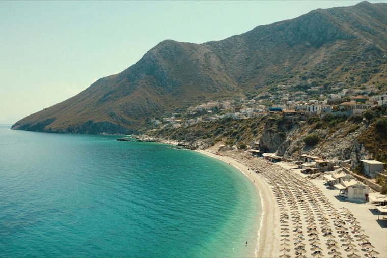
An old white village on the slope above one of the Riviera's longest pebble beaches.
村 · Korçë
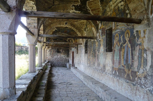
In the 18th century one of the largest towns in the Balkans; today a village of frescoed churches.
村 · Korçë
A stone village at 1,340 m in the Morava mountains, one of Albania's small ski destinations.
村 · Korçë
A peninsula village on Lake Ohrid with a 6th-century basilica floor mosaic and a prehistoric pile settlement.
町 · Durrës
Skanderbeg's mountain stronghold, an old bazaar street, and the national museum of the resistance.
町 · Vlorë
The centre of the Riviera coast: a Greek-speaking historical community, an old hill village and a string of coves.
町 · Vlorë
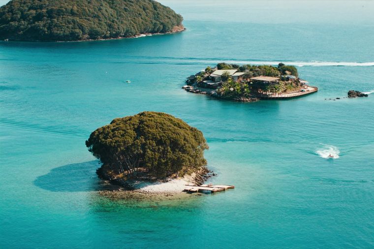
Four small islands and very clear shallow water; the most photographed and most crowded stretch of the Albanian coast.
町 · Gjirokastër
A small Vjosa-side town known for its fruit preserves, thermal baths and polyphonic singing.
町 · Korçë
A lakeside town on Ohrid, a UNESCO natural and cultural site shared with North Macedonia.
町 · Gjirokastër
A hill town below a castle built by Ali Pasha for his sister, opposite Gjirokastër.
泉 · Vlorë
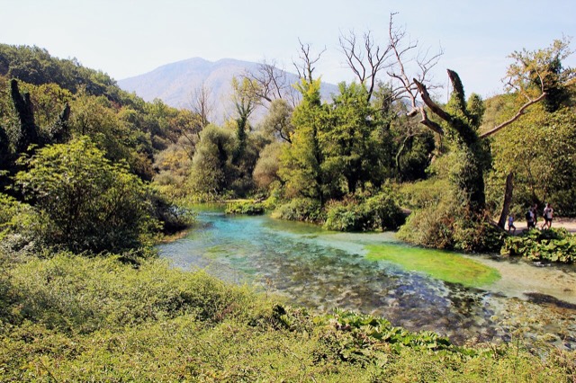
A karst spring of extraordinary clarity whose bottom has never been definitively reached.
峡谷 · Berat
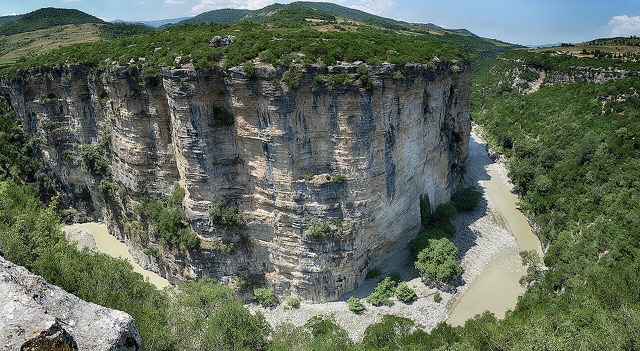
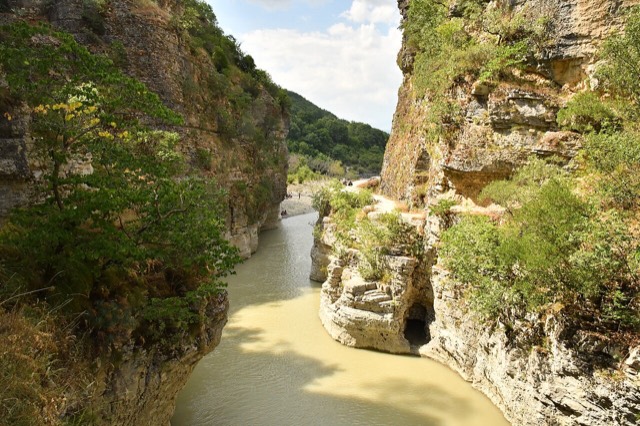
A 26 km limestone gorge up to 80 m deep, run by raft in spring and walked in late summer.
峡谷 · Vlorë
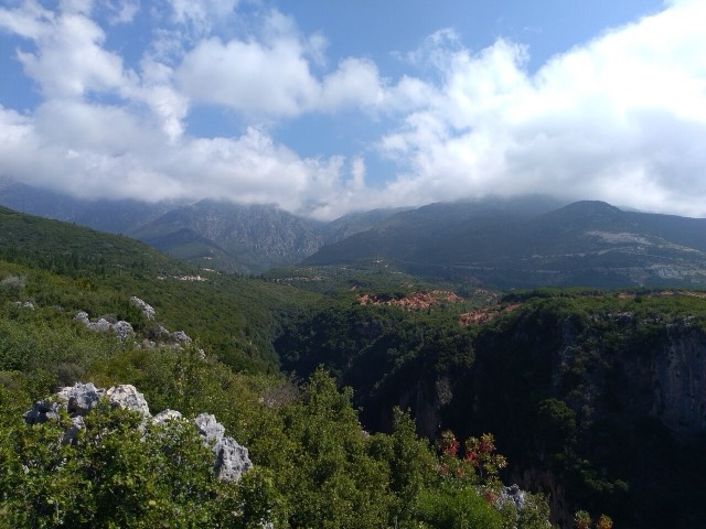
A narrow limestone slot that meets the sea at Gjipe beach — the Riviera's one true canyon.
泉 · Gjirokastër
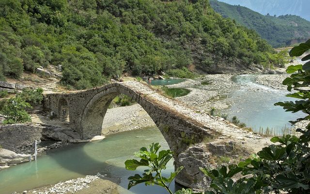
Sulphur pools beside the Ottoman Katiu bridge, at the mouth of the Lengarica canyon.
アルバニアは12の県に分かれ、それぞれ中心の町の名前で呼ばれています。地図またはリストから選んでください。
境界線: geoBoundaries gbOpen ALB ADM1 (パブリックドメイン)