保護区域

Valbona Valley National Park
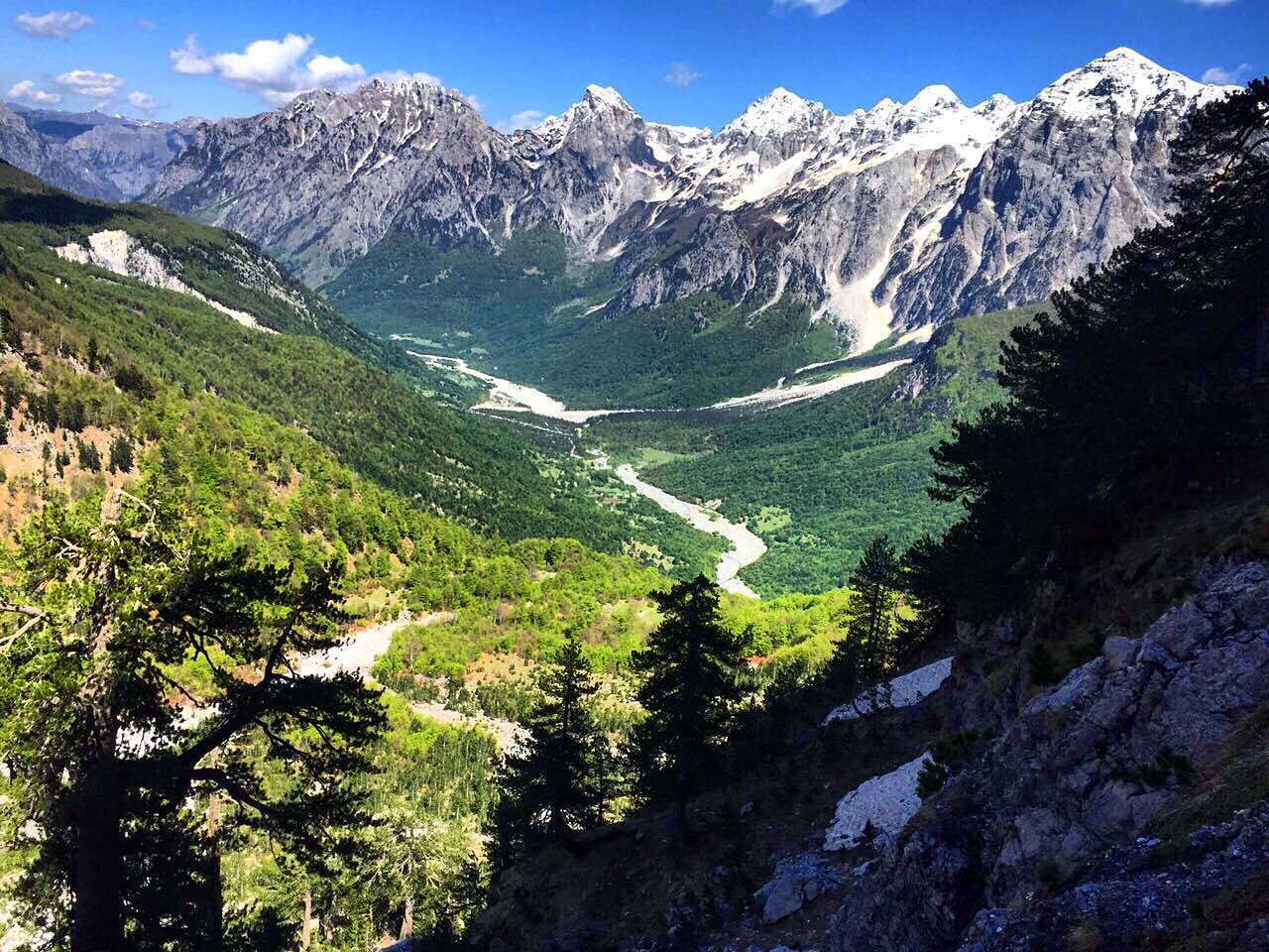
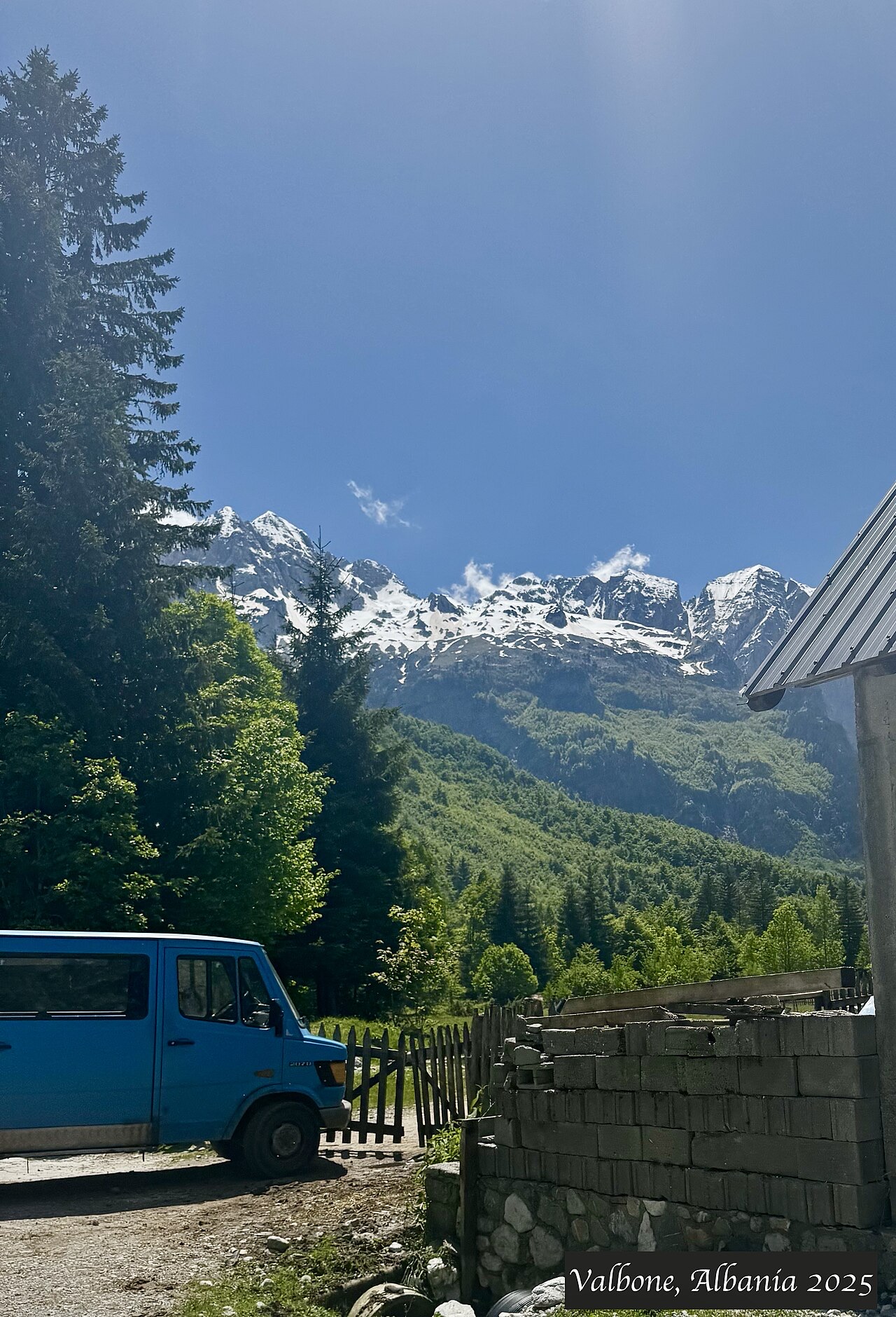
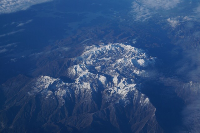
A broad U-shaped glacial valley of white gravel and beech forest under the Alps' highest peaks.
🧭 ガイドビュー
アルバニアを初めて知る方へ。各ページは、詳細に入る前に、10歳の子どもにも読み聞かせられる平易な説明から始まります。
⚡ エキスパートビュー
基本知識はすでにお持ちの方向け。平易な説明を非表示にし、内容を直接表示します。これがデフォルトです。
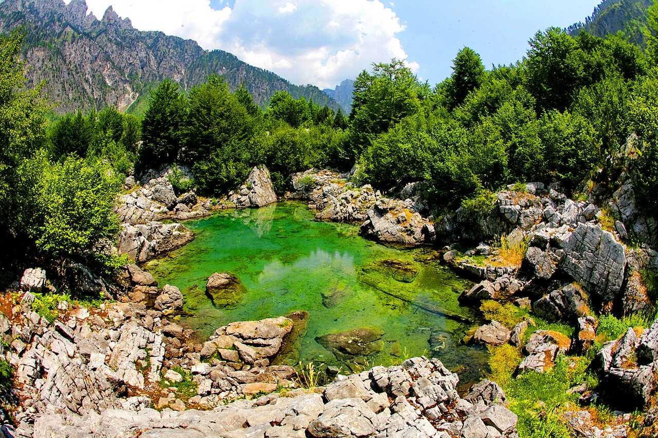
Valbonë is a valley in the northern mountains with a wide, stony river and very steep peaks on both sides. Walkers cross a high pass between here and Theth.
Valbonë is a valley in the northern mountains with a wide, stony river and very steep peaks on both sides. Walkers cross a high pass between here and Theth.
30年平均値: Valbonë, 1994〜2023年の日次ERA5再解析データからこのアトラス用に算出。これらは長期平均値であり、予測ではありません。個々の年は大幅に異なる場合があります。
最も暖かい月は August (日中の平均最高気温 25°C), 最も寒い月は January (夜間の平均最低気温 -3°C), 最も雨が多い月は December (233 mm). 年間総降水量の平均は 1,910 mm.
| 月 | 最高気温 | 最低気温 | 降水量 | 降水日数 | 日照時間/日 |
|---|---|---|---|---|---|
| January | 3°C | -3°C | 187 mm | 13 | 6.2 h |
| February | 4°C | -2°C | 168 mm | 12 | 7.2 h |
| March | 8°C | 0°C | 163 mm | 14 | 8.9 h |
| April | 12°C | 4°C | 141 mm | 16 | 10.0 h |
| May | 18°C | 9°C | 148 mm | 18 | 11.4 h |
| June | 22°C | 13°C | 126 mm | 17 | 13.1 h |
| July | 25°C | 15°C | 118 mm | 15 | 13.4 h |
| August | 25°C | 16°C | 106 mm | 14 | 12.5 h |
| September | 20°C | 12°C | 155 mm | 14 | 10.1 h |
| October | 16°C | 8°C | 146 mm | 11 | 8.5 h |
| November | 10°C | 4°C | 219 mm | 13 | 6.5 h |
| December | 5°C | -1°C | 233 mm | 14 | 5.7 h |
出典: ERA5 reanalysis via Open-Meteo, 1994–2023 · 「最高気温」および「最低気温」は日平均最高・最低気温です。「降水日数」は降水量が1mm以上の日数を計上しています。 JSONで取得
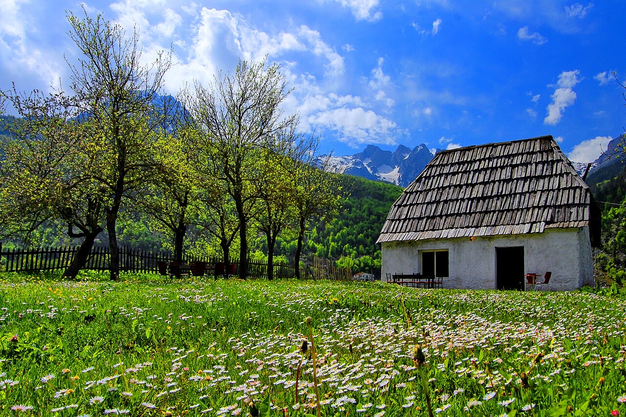
これらはアトラス内の実際の関係性です——この場所に近い地点と、実際に関連する項目です。汎用的な推薦は含まれていません。
A broad U-shaped glacial valley of white gravel and beech forest under the Alps' highest peaks.
The glacial valley park at the heart of the Albanian Alps, merged into a wider protected complex in 2022.
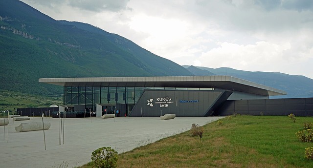
A small northern airport that opened to commercial flights in 2021, mainly serving the diaspora.
The uppermost and largest of the Drin dams, creating a reservoir shared with Kosovo.
At 2,694 m the highest peak entirely inside the Dinaric Alps, deep in the Albanian Alps.
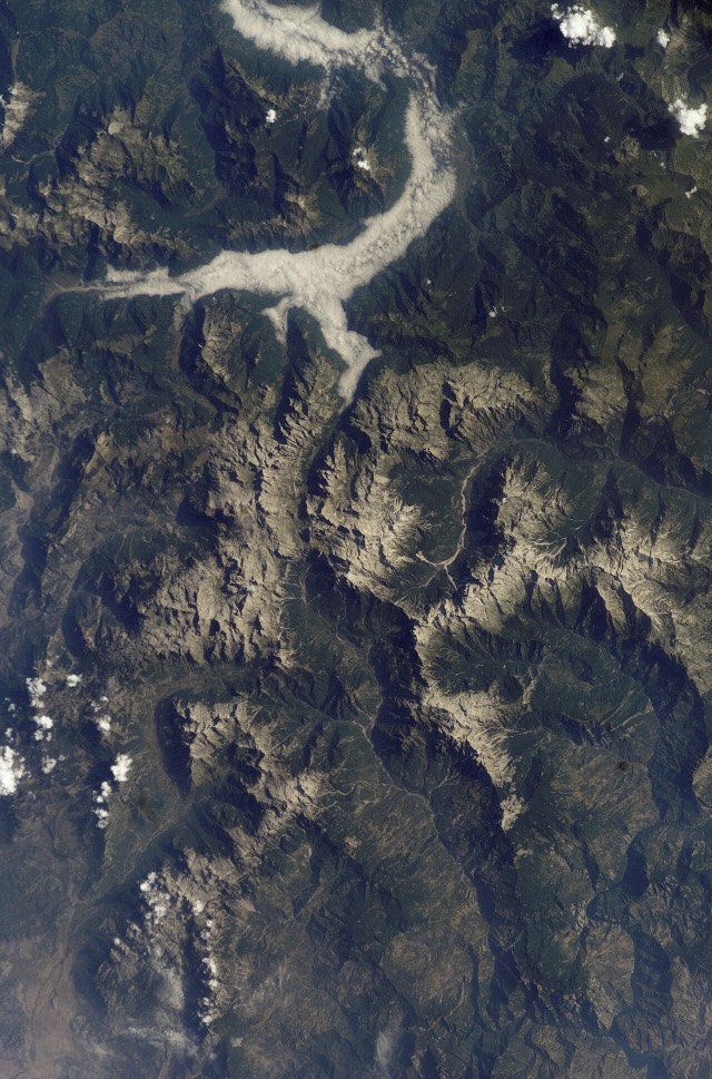
The limestone wall of the far north — locally the Accursed Mountains — shared with Montenegro and Kosovo.
A glacial valley village in the Albanian Alps: a lock-in tower, a waterfall, and one end of the country's best-known…
A town rebuilt above a reservoir in the 1970s, and the northern end of the Nation's Road.
A broad U-shaped glacial valley of white gravel and beech forest under the Alps' highest peaks.
The Alps, the Koman ferry and the Shkodër lake country — the part of Albania least like the coast.
Albania's best-known walk: roughly 17 km over a 1,795 m pass, six to eight hours, June to October.
The two ends of the same walk, and two quite different valleys.
このページに誤りがありますか? 修正は歓迎しており、原典記録と照合して確認します。何が誤っているか、また可能であれば正しい数値の出典をお知らせください。


![Title: A chief of Thethi, Tribe of Shale [i.e. Shala], Albania Abstract/medium: 1 photographic print.](/static/img/thumbs/theth-4.jpg)