Área protegida

Valbona Valley National Park
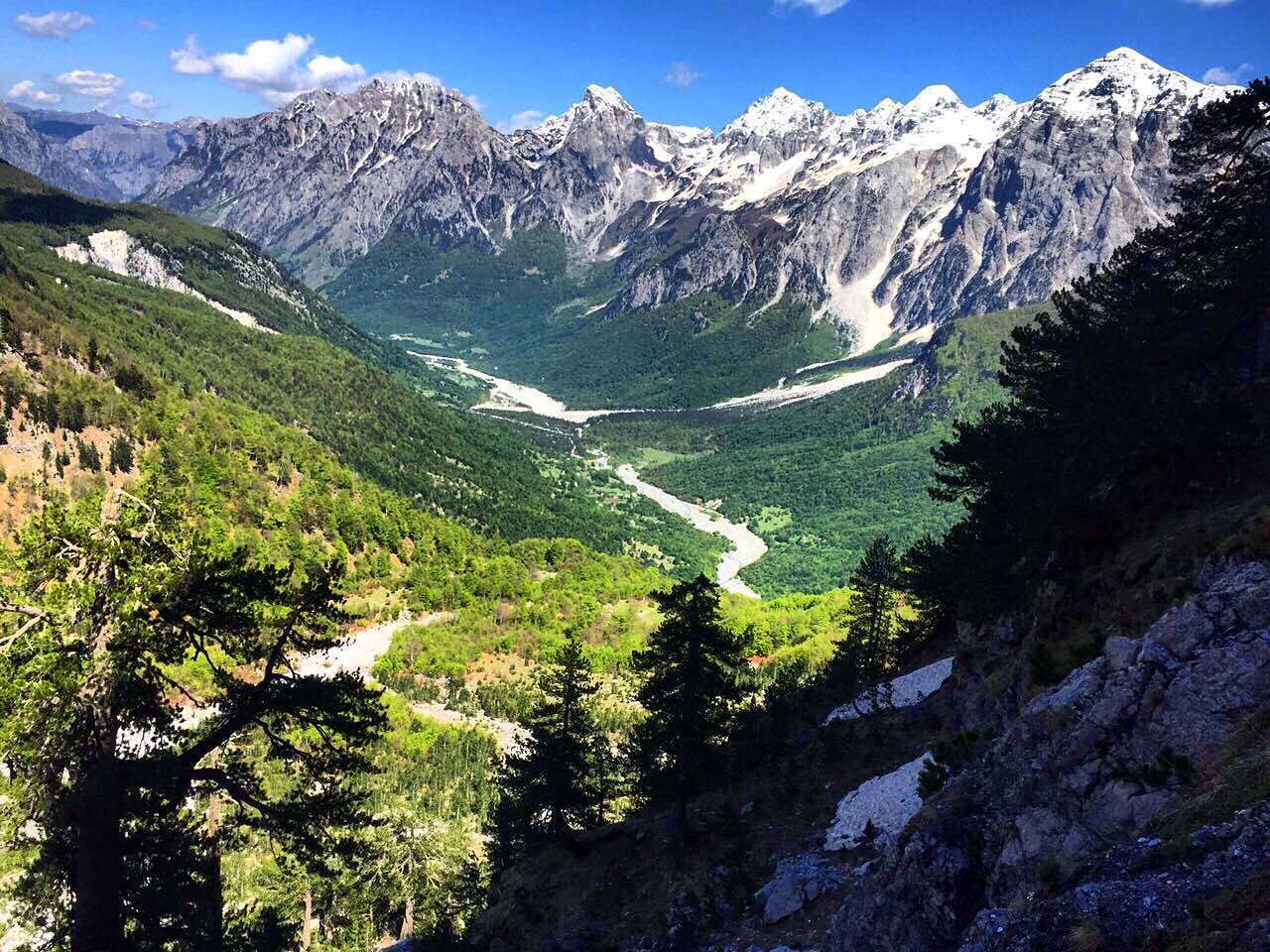
A broad U-shaped glacial valley of white gravel and beech forest under the Alps' highest peaks.
🧭 Vista guiada
¿Nuevo en Albania? Cada página comienza con una explicación en lenguaje sencillo que cualquiera podría entender, antes de entrar en los detalles.
⚡ Vista experta
Ya conoces los fundamentos. Directo al contenido, con las explicaciones básicas ocultas. Esta es la vista predeterminada.
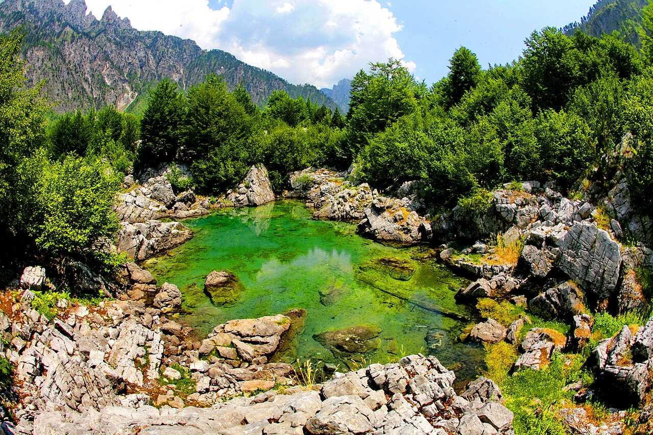
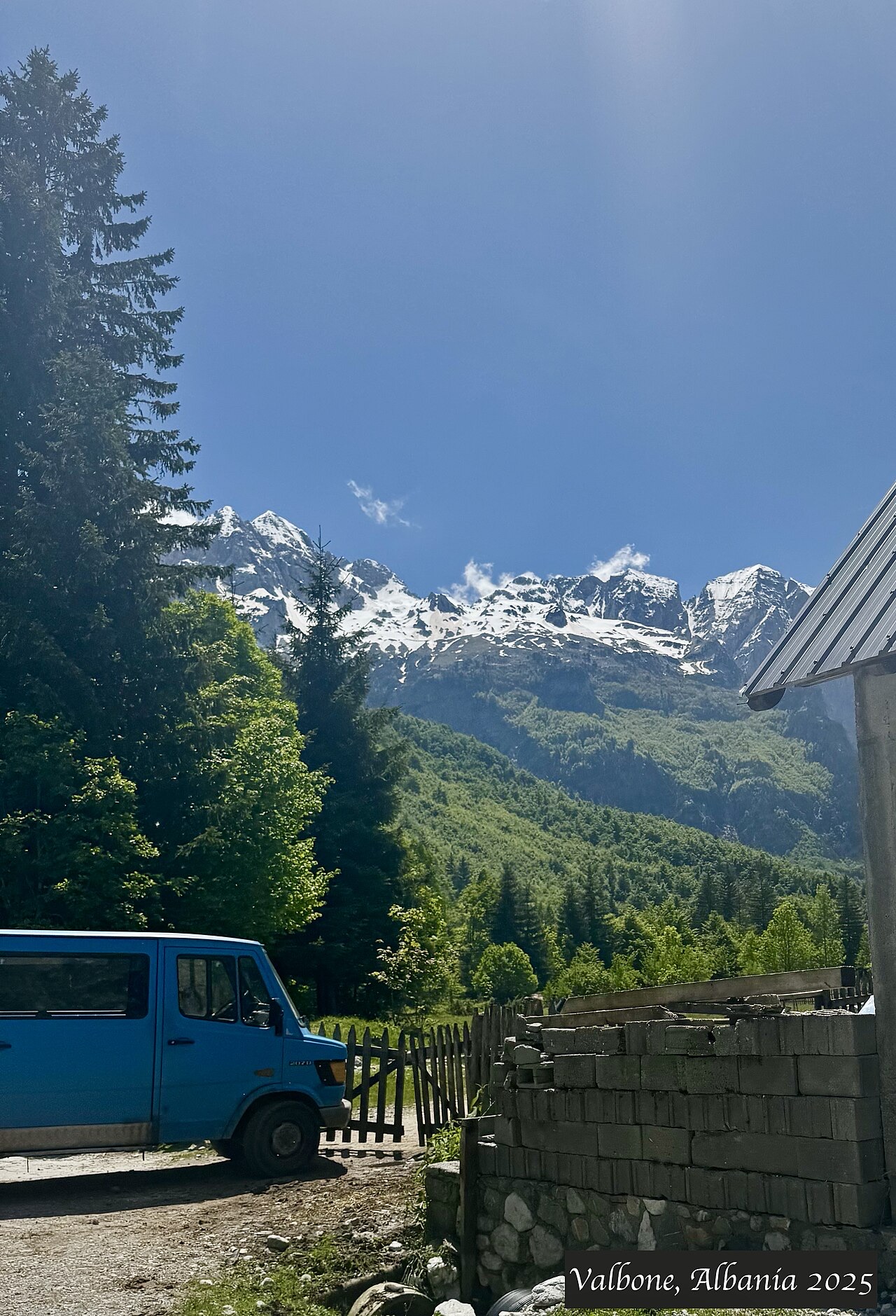
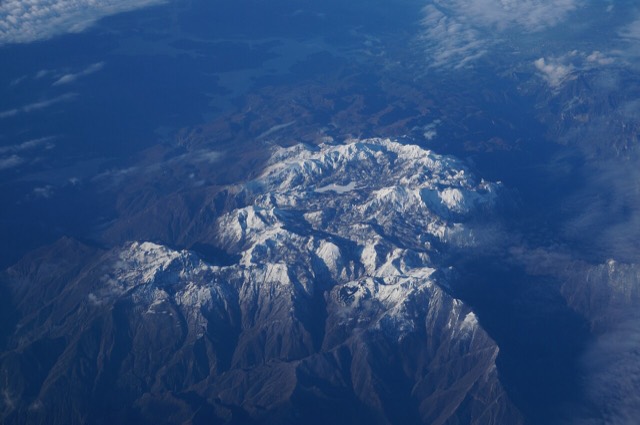
Valbonë is a valley in the northern mountains with a wide, stony river and very steep peaks on both sides. Walkers cross a high pass between here and Theth.
Valbonë is a valley in the northern mountains with a wide, stony river and very steep peaks on both sides. Walkers cross a high pass between here and Theth.
Normales de treinta años para Valbonë, calculadas para este Atlas a partir del reanálisis diario ERA5 sobre el período 1994–2023. Se trata de promedios a largo plazo, no de una previsión: cualquier año concreto puede diferir sustancialmente.
El mes más cálido es August (máxima diaria media 25°C), el más frío es January (mínima diaria media -3°C), y el más lluvioso es December (233 mm). La precipitación anual total promedia 1,910 mm.
| Mes | Máx. | Mín. | Lluvia | Días de lluvia | Sol/día |
|---|---|---|---|---|---|
| January | 3°C | -3°C | 187 mm | 13 | 6.2 h |
| February | 4°C | -2°C | 168 mm | 12 | 7.2 h |
| March | 8°C | 0°C | 163 mm | 14 | 8.9 h |
| April | 12°C | 4°C | 141 mm | 16 | 10.0 h |
| May | 18°C | 9°C | 148 mm | 18 | 11.4 h |
| June | 22°C | 13°C | 126 mm | 17 | 13.1 h |
| July | 25°C | 15°C | 118 mm | 15 | 13.4 h |
| August | 25°C | 16°C | 106 mm | 14 | 12.5 h |
| September | 20°C | 12°C | 155 mm | 14 | 10.1 h |
| October | 16°C | 8°C | 146 mm | 11 | 8.5 h |
| November | 10°C | 4°C | 219 mm | 13 | 6.5 h |
| December | 5°C | -1°C | 233 mm | 14 | 5.7 h |
Fuente: ERA5 reanalysis via Open-Meteo, 1994–2023 · «Máx.» y «Mín.» son la temperatura del aire máxima y mínima diaria media. «Días de lluvia» cuenta los días con al menos 1 mm de precipitación. Obtener en formato JSON
Se trata de relaciones reales en el Atlas — lugares próximos a este y temas a los que pertenece genuinamente. Nada aquí es una recomendación genérica.
A broad U-shaped glacial valley of white gravel and beech forest under the Alps' highest peaks.
The glacial valley park at the heart of the Albanian Alps, merged into a wider protected complex in 2022.
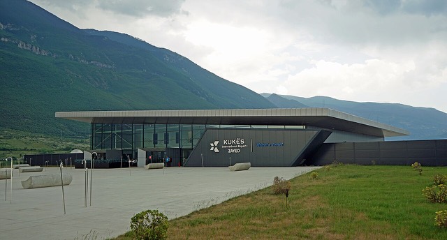
A small northern airport that opened to commercial flights in 2021, mainly serving the diaspora.
The uppermost and largest of the Drin dams, creating a reservoir shared with Kosovo.
At 2,694 m the highest peak entirely inside the Dinaric Alps, deep in the Albanian Alps.
The limestone wall of the far north — locally the Accursed Mountains — shared with Montenegro and Kosovo.
A glacial valley village in the Albanian Alps: a lock-in tower, a waterfall, and one end of the country's best-known…
A town rebuilt above a reservoir in the 1970s, and the northern end of the Nation's Road.
A broad U-shaped glacial valley of white gravel and beech forest under the Alps' highest peaks.
The Alps, the Koman ferry and the Shkodër lake country — the part of Albania least like the coast.
Albania's best-known walk: roughly 17 km over a 1,795 m pass, six to eight hours, June to October.
The two ends of the same walk, and two quite different valleys.
¿Algo incorrecto en esta página? Las correcciones son bienvenidas y se contrastan con el registro fuente. Indíquenos qué es incorrecto y, si puede, de dónde procede el dato correcto.


![Title: A chief of Thethi, Tribe of Shale [i.e. Shala], Albania Abstract/medium: 1 photographic print.](/static/img/thumbs/theth-4.jpg)