Historic site · Vlorë
Butrint
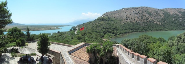
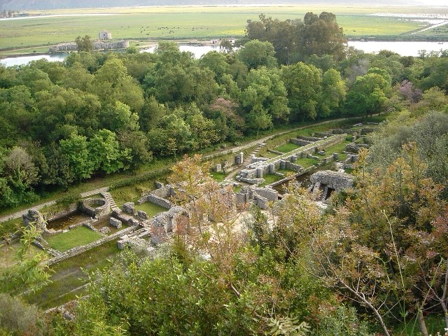
A Greek, Roman, Byzantine, Venetian and Ottoman city layered on one wooded peninsula — Albania's first UNESCO site.
Every county, coast and century
Guided view
New to Albania? Every page opens with a plain-language explanation you could read to a ten-year-old, before the detail begins.
Expert view
You already know the basics. Straight to the substance, with the simple explanations hidden. This is the default.
Places
Historic site · Vlorë
A Greek, Roman, Byzantine, Venetian and Ottoman city layered on one wooded peninsula — Albania's first UNESCO site.
City · Vlorë
The Ionian resort town facing Corfu, and the arrival point for most visitors to southern Albania.
Town · Vlorë
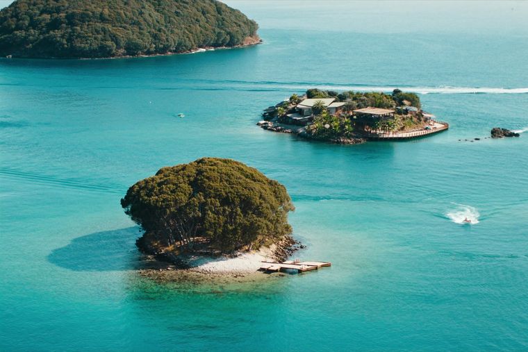
Four small islands and very clear shallow water; the most photographed and most crowded stretch of the Albanian coast.
Protected area · Vlorë
A wetland and forest park wrapped around the archaeological city, on the Vivari channel.
City · Vlorë
Where the Adriatic meets the Ionian, and where Albanian independence was declared in 1912.
Mountain range · Vlorë
The coastal ridge that makes the Riviera: 2,000 m peaks rising directly out of the Ionian.
Town · Vlorë
The centre of the Riviera coast: a Greek-speaking historical community, an old hill village and a string of coves.
Lake · Vlorë
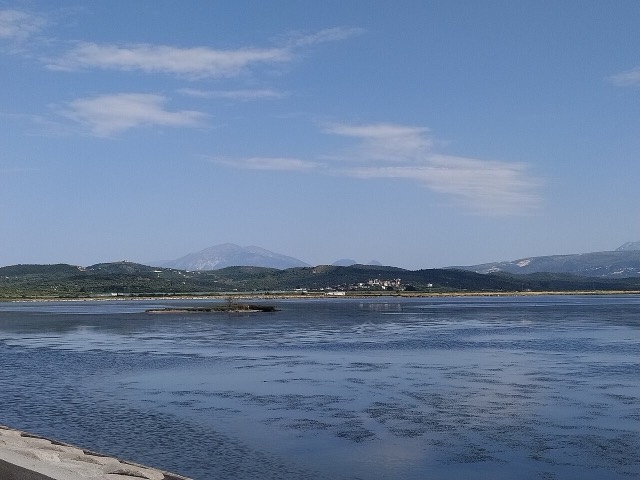
Albania's second-largest lagoon, with working saltpans and the island monastery of Zvërnec.
Historic site · Vlorë
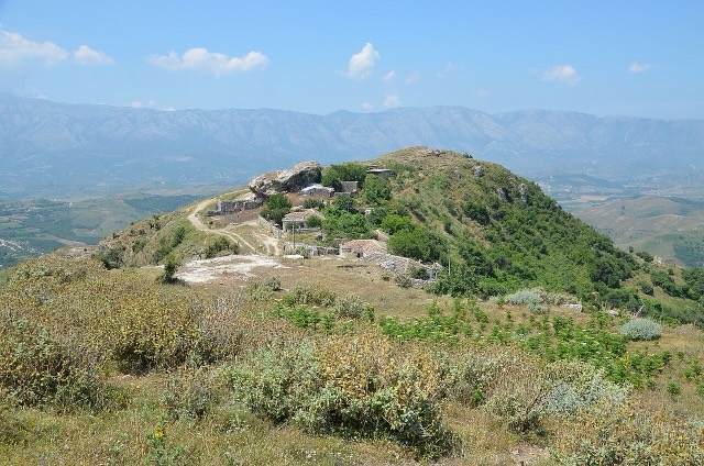
An Illyrian hill city whose stadium — cut into the slope — is among the best preserved in the region.
Protected area · Vlorë
Albania's only marine national park: sea caves, wrecks and the country's clearest water.
Protected area · Vlorë
A pine-forested pass at 1,027 m where the road drops from mountain forest to the Ionian in a few kilometres.
Beach · Vlorë
A long white pebble shore under the Ceraunian ridge, and the Riviera's main nightlife strip.
Historic site · Vlorë
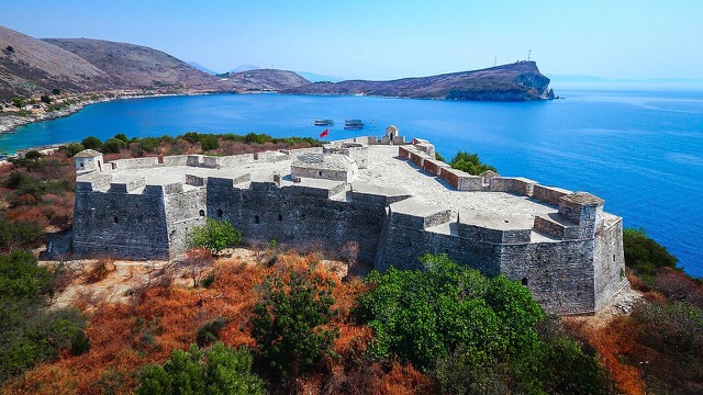
A triangular fortress on a causeway peninsula, built for Ali Pasha of Tepelena.
Town · Vlorë
A hill town above the Sarandë plain with a mixed Albanian and Greek population.
Spring · Vlorë
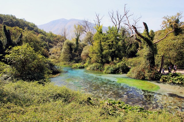
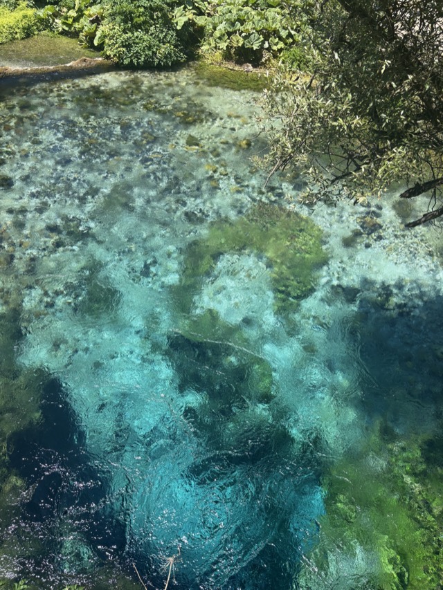
A karst spring of extraordinary clarity whose bottom has never been definitively reached.
Beach · Vlorë
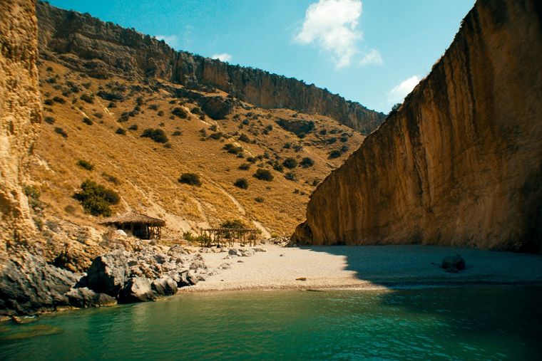
A pebble beach at the mouth of a limestone canyon, reachable only on foot or by boat.
Beach · Vlorë
A remote bay on the Karaburun peninsula whose cliffs carry Greek and Latin inscriptions cut by ancient sailors.
Beach · Vlorë
The first Riviera beach south of the Llogara pass, below the road's most dramatic descent.
Beach · Vlorë
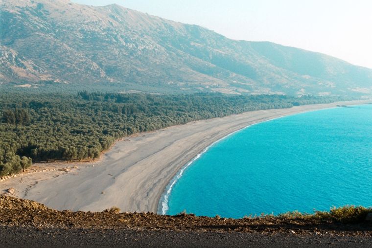
At roughly 7 km, the longest single beach on the Riviera, backed by one of Albania's largest olive groves.
Beach · Vlorë
The pine-backed northern half of the Dhërmi bay, slightly quieter than the main strip.
Beach · Vlorë
A run of small coves — Bunec, Krorëz and Shpella — below the village of Lukovë.
Beach · Vlorë
The sheltered eastern shore of the Bay of Vlorë, facing the Karaburun peninsula.
Town · Vlorë
A municipality of villages near Sarandë, containing the Blue Eye and the ancient site of Phoenice.
Village · Vlorë
An old white village on the slope above one of the Riviera's longest pebble beaches.
Beach · Vlorë
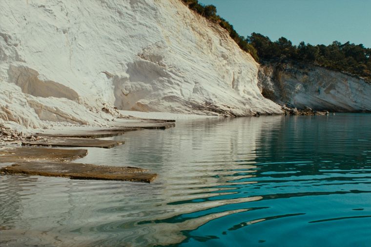
Rock shelves and a small pebble strip where the water is unusually still.
Beach · Vlorë
A near-enclosed bay wrapped around Ali Pasha's triangular fortress on its own peninsula.
Canyon · Vlorë
A narrow limestone slot that meets the sea at Gjipe beach — the Riviera's one true canyon.
Beach · Vlorë
The broad bay immediately south of Himarë, the most developed beach on that stretch.
Beach · Vlorë
A hidden cove with a sea cave, most easily reached by boat from Himarë.
Beach · Vlorë
Vlorë's own beach quarter, named for the cold springs that surface there.
Beach · Vlorë
A deep, clear bay north of Sarandë, long the subject of a contested development.
Mountain · Vlorë
The 2,045 m high point of the Ceraunian ridge, directly above the Riviera coast.
Beach · Vlorë
Two adjacent pebble coves below Vuno, long a summer-camping spot for young Albanians.