Berat Qarku i Beratit
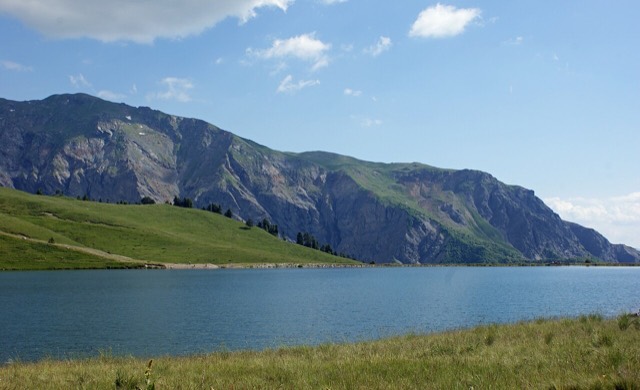
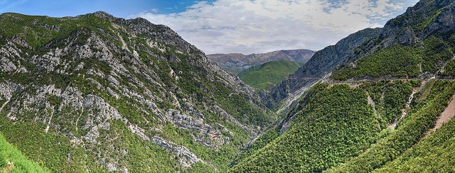
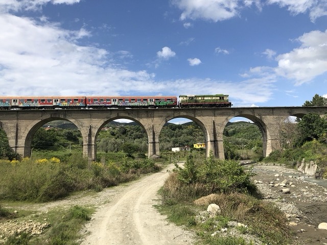
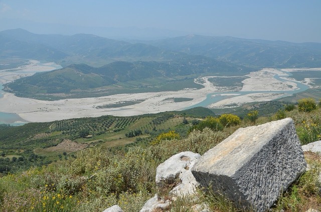
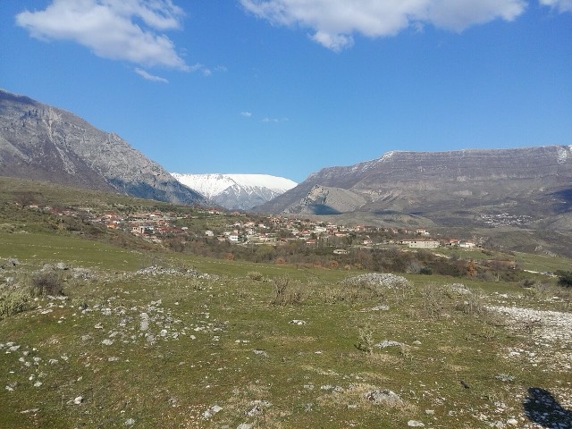
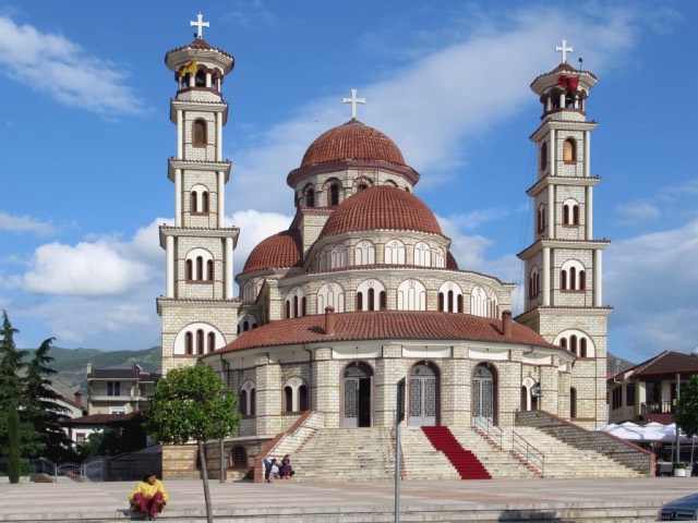
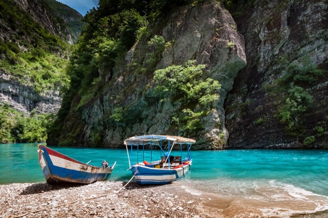
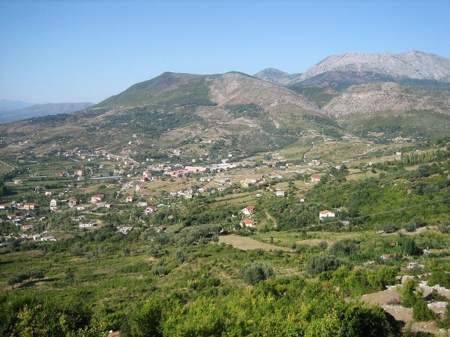
An inland county of vineyards, the Osum canyon and a UNESCO-listed hill town.
每个县、每段海岸、每个世纪
引导视图
初次了解阿尔巴尼亚?每个页面均以通俗易懂的说明开篇——即便是十岁的孩子也能读懂——随后再展开详细内容。
专业视图
您已掌握基础知识。直接进入正题,简明解释默认隐藏。此为默认模式。
阿尔巴尼亚划分为十二个县,各县均以其主要城市命名。其下设六十一个市。
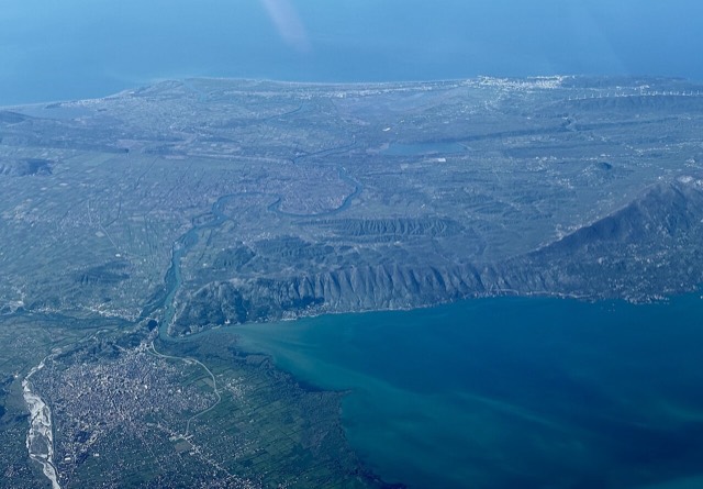
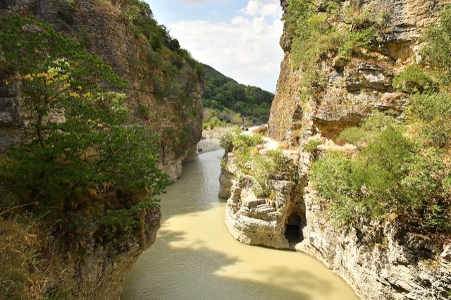
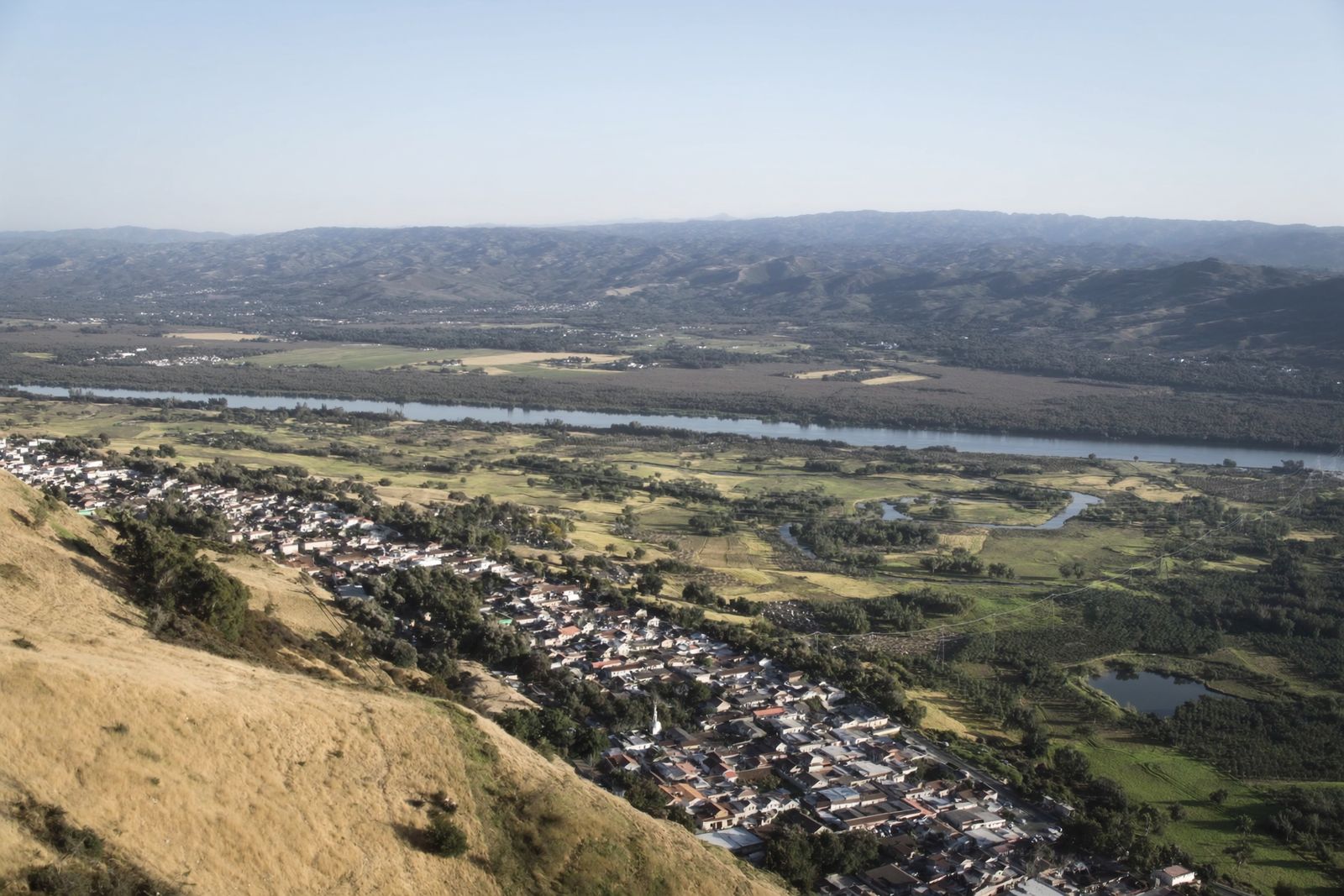
An inland county of vineyards, the Osum canyon and a UNESCO-listed hill town.
Albania's mountain interior on the North Macedonian border, containing Mount Korab.
The country's smallest county by area and its main gateway: the biggest port, the longest sandy beach.
A central industrial and agricultural county on the Shkumbin river, historically the road east.
The agricultural and oil-producing plain of the south-west, with the ancient city of Apollonia.
The southern mountain county of the Drino and Vjosa valleys, with a UNESCO stone city.
A high south-eastern plateau of lakes and orchards, with a distinct café and brewing culture.
The north-eastern highlands on the Kosovo border, the gateway to the Valbona valley.
A short northern coast of lagoons and pine, backed by the copper country of Mirditë.
The north-west: the largest lake in southern Europe, the Albanian Alps and the Drin gorge.
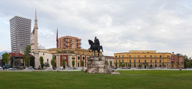
The capital county: roughly a third of the country's people, its jobs and its universities.
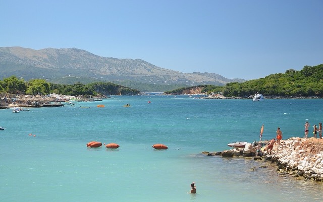
The long southern coast: the Albanian Riviera, the Karaburun peninsula and the Corfu channel.