Protected area · Kukës
Valbona Valley National Park
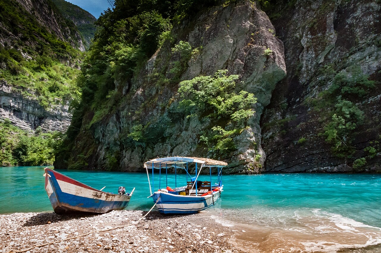
A broad U-shaped glacial valley of white gravel and beech forest under the Alps' highest peaks.
Every county, coast and century
Guided view
New to Albania? Every page opens with a plain-language explanation you could read to a ten-year-old, before the detail begins.
Expert view
You already know the basics. Straight to the substance, with the simple explanations hidden. This is the default.
Places
Protected area · Kukës
A broad U-shaped glacial valley of white gravel and beech forest under the Alps' highest peaks.
Town · Kukës
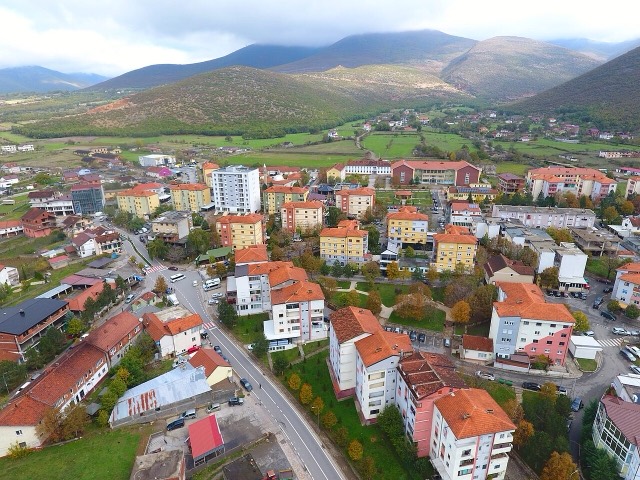
The road head for the Valbona valley, named after a guerrilla leader of the 1920s.
Village · Kukës
A wide white riverbed under 2,500 m peaks; the eastern end of the Theth trek.
Town · Kukës
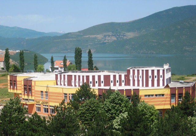
A town rebuilt above a reservoir in the 1970s, and the northern end of the Nation's Road.