Beschermd gebied

Valbona Valley National Park
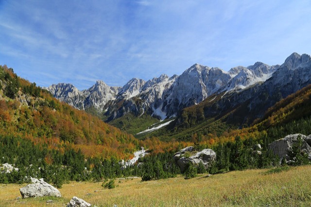
A broad U-shaped glacial valley of white gravel and beech forest under the Alps' highest peaks.
🧭 Begeleidende weergave
Nieuw in Albanië? Elke pagina begint met een uitleg in eenvoudige taal die u aan een tienjarige zou kunnen voorlezen, voordat de details beginnen.
⚡ Expertweergave
U kent de basis al. Meteen naar de kern, met de eenvoudige uitleg verborgen. Dit is de standaardinstelling.
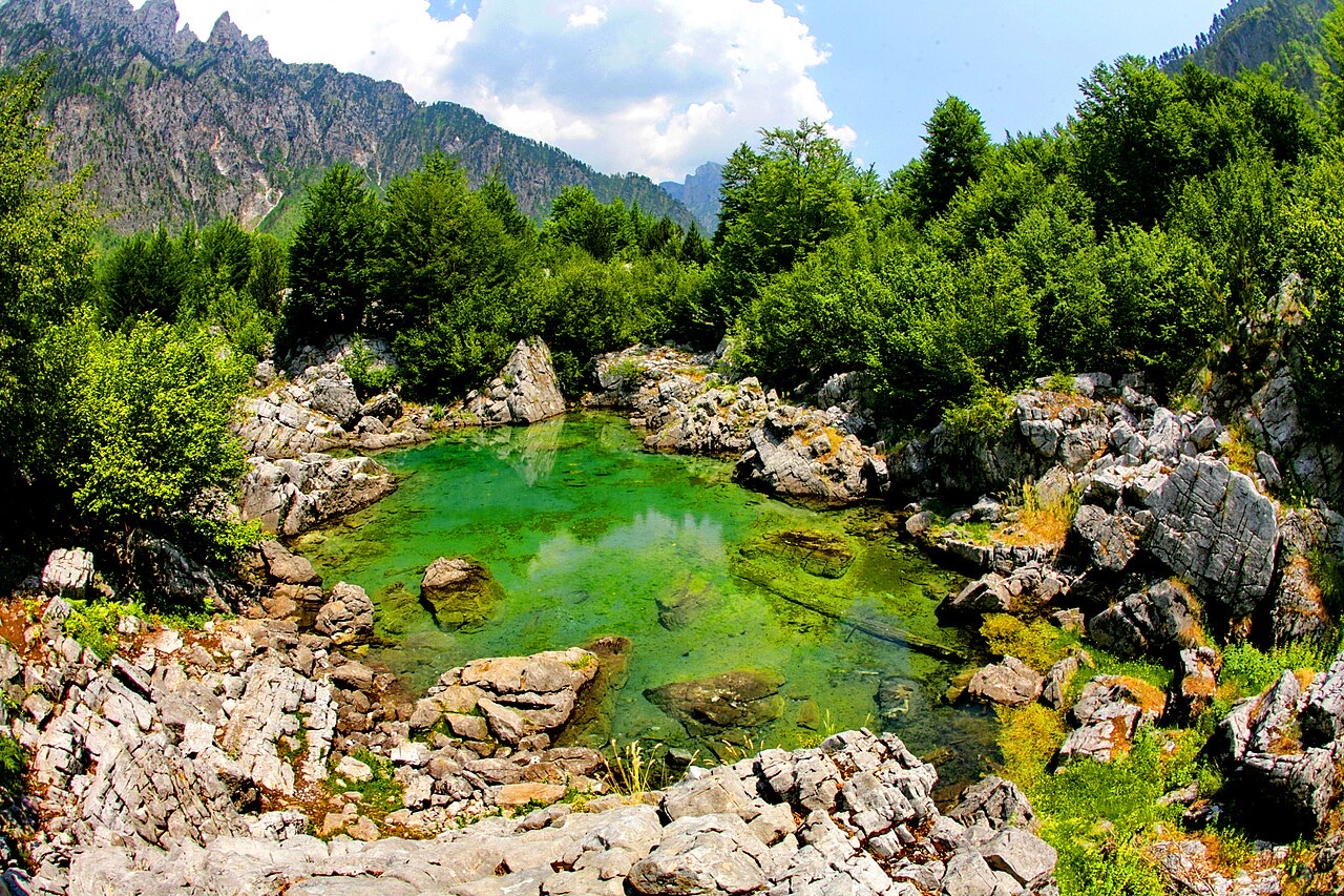
The Valbona valley · Shkelzen Rexha Gjakovë · CC BY-SA 4.0 · Wikimedia Commons
The walk between Theth and Valbonë crosses a high pass in the Albanian Alps. It takes most of a day, about 17 kilometres, and climbs steeply. Most people do it between June and October.
The walk between Theth and Valbonë crosses a high pass in the Albanian Alps. It takes most of a day, about 17 kilometres, and climbs steeply. Most people do it between June and October.
The path crosses the Valbona pass at about 1,795 m. It is roughly 17 km end to end and takes most walkers six to eight hours including stops. It is waymarked and, in season, busy enough that you are rarely alone.
Walked from Theth the climb is at the start and steeper; from Valbonë the ascent is longer but more gradual. Either direction works.
This is a mountain crossing, not a stroll. There is sustained ascent, loose ground in places, no shade for long sections, and one café at the pass in season. Walking boots, two litres of water per person, sun protection and a warm layer are the minimum.
It is not technical and it does not need a guide in good conditions. In poor weather, or outside the season, it needs both judgement and local advice.
Most people walk it one way and move their luggage by road, which means a long transfer round the mountains via Fierzë. Guesthouses at both ends arrange this routinely.
The standard circuit is Shkodër → Koman ferry → Fierzë → Valbonë → walk → Theth → Shkodër. Book accommodation ahead in July and August.
Roughly mid-June to mid-October. Snow can lie on the pass into early summer and return in October. Guesthouses in both valleys largely close for winter.
Dit zijn echte verbanden in de Atlas — plaatsen die dicht bij deze liggen en onderwerpen waar deze pagina werkelijk bij hoort. Niets hier is een algemene aanbeveling.
A broad U-shaped glacial valley of white gravel and beech forest under the Alps' highest peaks.
The glacial valley park at the heart of the Albanian Alps, merged into a wider protected complex in 2022.
The limestone wall of the far north — locally the Accursed Mountains — shared with Montenegro and Kosovo.
A glacial valley village in the Albanian Alps: a lock-in tower, a waterfall, and one end of the country's best-known…
A wide white riverbed under 2,500 m peaks; the eastern end of the Theth trek.
The Alps, the Koman ferry and the Shkodër lake country — the part of Albania least like the coast.
June and September give you the coast without the July–August crush; May and October are the best value; the…
The road head for the Valbona valley, named after a guerrilla leader of the 1920s.
Deze pagina is uitsluitend gebaseerd op de gecureerde inventaris; er is nog geen externe bron aan gekoppeld.
Iets onjuist op deze pagina? Correcties zijn welkom en worden gecontroleerd aan de hand van de bronregistratie. Laat ons weten wat onjuist is en, indien mogelijk, waar het juiste cijfer vandaan komt.

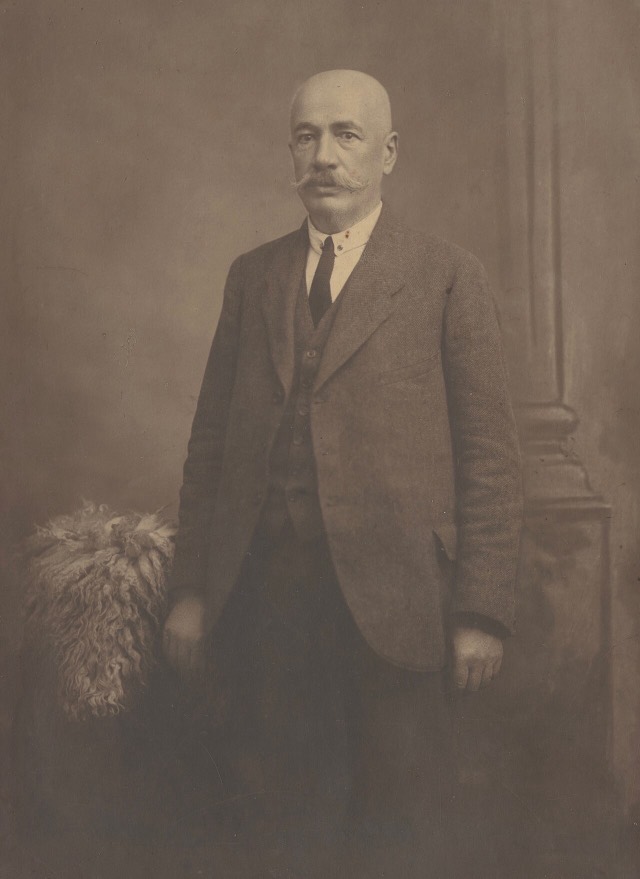
![Title: A chief of Thethi, Tribe of Shale [i.e. Shala], Albania Abstract/medium: 1 photographic print.](/static/img/thumbs/theth-4.jpg)