Tarihi alan · Vlorë
Butrint
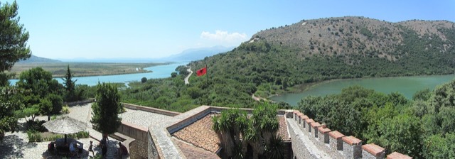
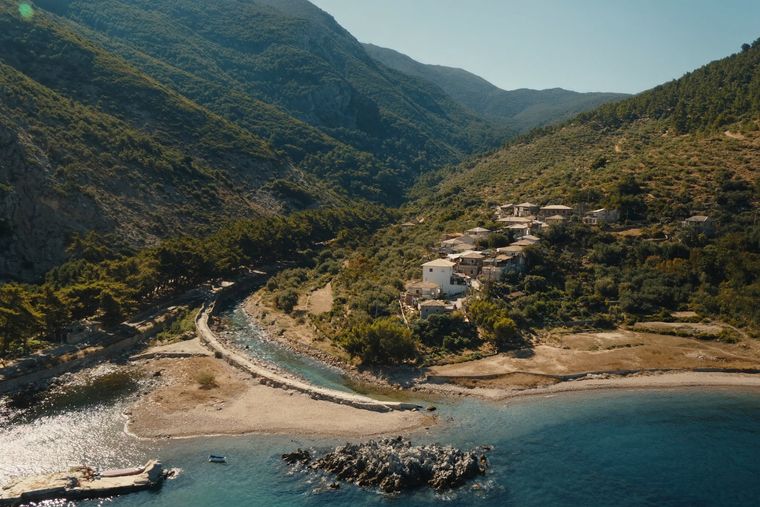
A Greek, Roman, Byzantine, Venetian and Ottoman city layered on one wooded peninsula — Albania's first UNESCO site.
Her il, her kıyı, her yüzyıl
Rehberli görünüm
Arnavutluk'a yeni misiniz? Her sayfa, ayrıntılara geçmeden önce on yaşında bir çocuğa okuyabileceğiniz sade bir açıklamayla başlar.
Uzman görünümü
Temel bilgileri zaten biliyorsunuz. Sade açıklamalar gizli, doğrudan özüne geçin. Bu varsayılan ayardır.
Şehir
Where the Adriatic meets the Ionian, and where Albanian independence was declared in 1912.
Kaydet
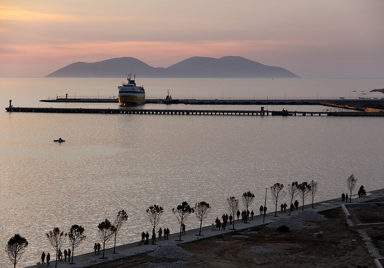
Vlorë is a city on the coast in the south. It is where the Adriatic Sea and the Ionian Sea meet. Albania declared its independence here in 1912, so the city matters a lot in Albanian history. The Albanian Riviera starts just south of it.
Vlorë is a city on the coast in the south. It is where the Adriatic Sea and the Ionian Sea meet. Albania declared its independence here in 1912, so the city matters a lot in Albanian history. The Albanian Riviera starts just south of it.
The city's name derives from the Ancient Greek Αὐλών (Aulṓn), meaning 'channel' or 'glen', a word said to resemble the aulos instrument and a common toponym type in the Greek world. It was first recorded in the 2nd century AD by two Ancient Greek authors: Lucian and Ptolemy, the latter describing it as a 'town and sea-port'. Earlier Greek and Roman writers do not mention Aulon; they recorded instead the nearby port of Oricum. In later sources, however, Oricum appears less frequently while Aulon is mentioned more often.
The modern Albanian form Vlorë developed from ancient Aulon-a through changes in the Albanian phonetic system. The intervocalic /n/ regularly became /r/ in Tosk Albanian, a process called rhotacism; the initial /v/ evolved from an unstressed /u/ after the initial unstressed /a/ disappeared. This shift from /u/ to /v/ is considered relatively ancient. In Geg Albanian, spoken in the north, the toponym retains the form Vlonë, indicating that rhotacism had not yet occurred when northern Albanians adopted the name. Notably, the name of Vlorë's inhabitants—vlonjat (singular), vlonjatë (plural)—did not undergo rhotacism, unlike the place name itself.
The medieval and modern Greek form is Avlónas, the source of the Latin Aulona, the Italian Valona and the obsolete English Avlona. During the Ottoman period, the city was known in Turkish as Avlonya. Medieval Latin sources record Avalona, Avelona, Lavalona and Lavellona; Old Serbian sources give Avlona or Vavlona, the latter incorporating the Slavic preposition v meaning 'in'. In Aromanian it is called Avlona. The English word 'valonia'—the term for acorn cups from local oak forests used by tanners—also derives from Valona, the ancient name of Vlorë.
The coastal area of Vlorë was among those Illyrian sites where pre-urban activity is attested from the 11th to 10th centuries BC. During the early 8th century BC, the Euboean colonisation of the area brought the Bay of Vlorë into association with several heroic traditions and the founding of settlements, a connection reflected in the toponym Aulon, which also appears in local Euboean place-name usage. The bay's natural harbour and strategic position on the Adriatic made it significant for trade throughout classical antiquity.
In the Archaic period, Ancient Greek colonists—traditionally credited with founding Orikos, Thronion and Aulon—settled on these shores. A large fortified port-town, now partially submerged, has been identified at Triport, northwest of present-day Vlorë. It was occupied from the 6th century BC to the 2nd century AD, enclosed by three walls, the earliest of which dates to the late 6th century BC. Port activity at Triport extended from at least the Archaic period through to the medieval period.
The archaeological site of Triport has been proposed as the location of either ancient Thronion or ancient Aulon. Thronion is attested by the traveller Pausanias in the 2nd century AD as a Locrian–Euboean colony and by a dedication at Olympia; both sources record that Apollonia conquered the city around 450 BC. Carl Patsch proposed that Aulon was first located at Triport before being transferred to the site of modern Vlorë; Pierre Cabanes proposed that Thronion occupied Triport. Scholars note these identifications are not mutually exclusive. Aulon also appears in the Tabula Peutingeriana and Hierocles' Synecdemus, and Ptolemy placed it among the towns of the Illyrian Taulantii.
Under Roman administration, Aulon served as an important port of the Empire and formed part of the province of Epirus Nova. The centre of modern Vlorë contains walls dating from the 4th to the 10th centuries AD, as well as a quadrangular tower and the ruins of a structure with ceramics dated to the 3rd–4th centuries and to the 6th–7th centuries, indicating sustained urban occupation across the late antique period.
Aulon became an episcopal see in the 5th century. Named bishops include Nazarius in 458 and Soter in 553, as recorded by Daniele Farlati in Illyricum sacrum. The diocese originally belonged to the papal Pentarchy. In 733, along with eastern Illyricum, it was transferred to the Patriarchate of Constantinople, though it does not appear in any Notitiae Episcopatuum of that church. The bishopric is thought to have been suppressed at some point; it is absent from the Notitiae episcopatuum of the Bulgarian Archbishopric of Ohrid even during the period of Bulgarian control of the region.
A Latin episcopal see was also established during the Roman period. The Catholic Church today lists Aulon as a titular see—a suffragan of Durrës—distinguished from a Greek titular see of the same name by the adjective Aulonitanus. The diocese was nominally restored as a Latin titular bishopric under the name Aulon, or Valona in curiate Italian. From 1925 it was also named Aulona in Latin and Italian; since 1933 it has been designated only Aulon in Latin and Aulona in Italian.
In the 11th and 12th centuries, Vlorë featured in conflicts between the Byzantine Empire and the Norman Kingdom of Sicily. Following a Norman occupation, the Normans ruled for only four years and established a Latin church episcopal see in the city. In 1321, while under Byzantine control, the city was attacked by a Venetian fleet commanded by Giovanni Michiel, an assault that cost the lives of many of its Greek inhabitants.
Vlorë later served as the capital of the Principality of Valona, which began as a vassal state of the Serbian Empire and subsequently became an independent Christian state, a status it held from 1346 to 1417. The Ottoman Empire captured the city in 1417. In 1432, Albanian rebels freed Vlorë and expelled the Ottomans from the area, though the city was subsequently reintegrated into Ottoman administration as a sanjak centre in the Rumelia Eyalet under the name Avlonya.
In 1690, the city briefly became a Venetian possession, but was returned to Ottoman control in 1691 following the siege of Vlorë, becoming a kaza of the Sanjak of Avlona within the vilayet of Janina. At that time the city had approximately 10,000 inhabitants and a Catholic parish belonging to the Archdiocese of Durrës. During the early Ottoman period, Vlorë developed into a significant international port handling substantial trade between western Europe and the Ottoman state.
In 1426, the Ottomans supported the settlement of a Jewish community in Vlorë engaged in commercial activities. The community expanded in subsequent decades as Jews migrated from Corfu, Venetian-held territories, Naples, France and the Iberian Peninsula. Approximately seventy Jewish families from Valencia, including former conversos, settled in Vlorë between 1391 and 1492. Following the expulsion of Jews from Spain in 1492, the Ottoman state resettled additional Jewish exiles in the city toward the end of the 15th century.
Ottoman census records for 1506 and 1520 document the Jewish population at 528 families and approximately 2,600 people in Vlorë. The community was commercially active: the city imported goods from Europe and exported spices, leather, cotton fabrics, velvets, brocades and mohair sourced from the Ottoman cities of Istanbul and Bursa. The Vlorë Jewish community also engaged in welfare activities for other Jewish populations—in 1596, for example, it secured the release of war-related captives held in Durrës.
After the Battle of Lepanto in 1571 and the deterioration of security along the Ottoman-controlled Adriatic and Ionian coasts, the Jewish population of Vlorë declined. The community was later renewed in the 19th century by Jews from Yanina. A museum dedicated to the historical Jewish population of Vlorë is planned to open in the city's historical centre.
Between the 18th and 19th centuries, cultural and intellectual developments among Albanians built toward the Albanian Renaissance, with Vlorë becoming a centre of this movement. In 1833, Albanian rebels captured Vlorë, compelling the Ottoman government to abolish certain taxes and meet rebel demands. The city suffered severe damage in an earthquake in 1851.
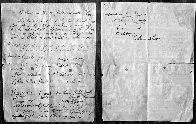
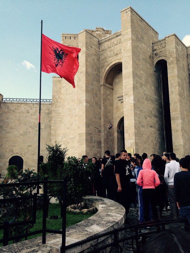
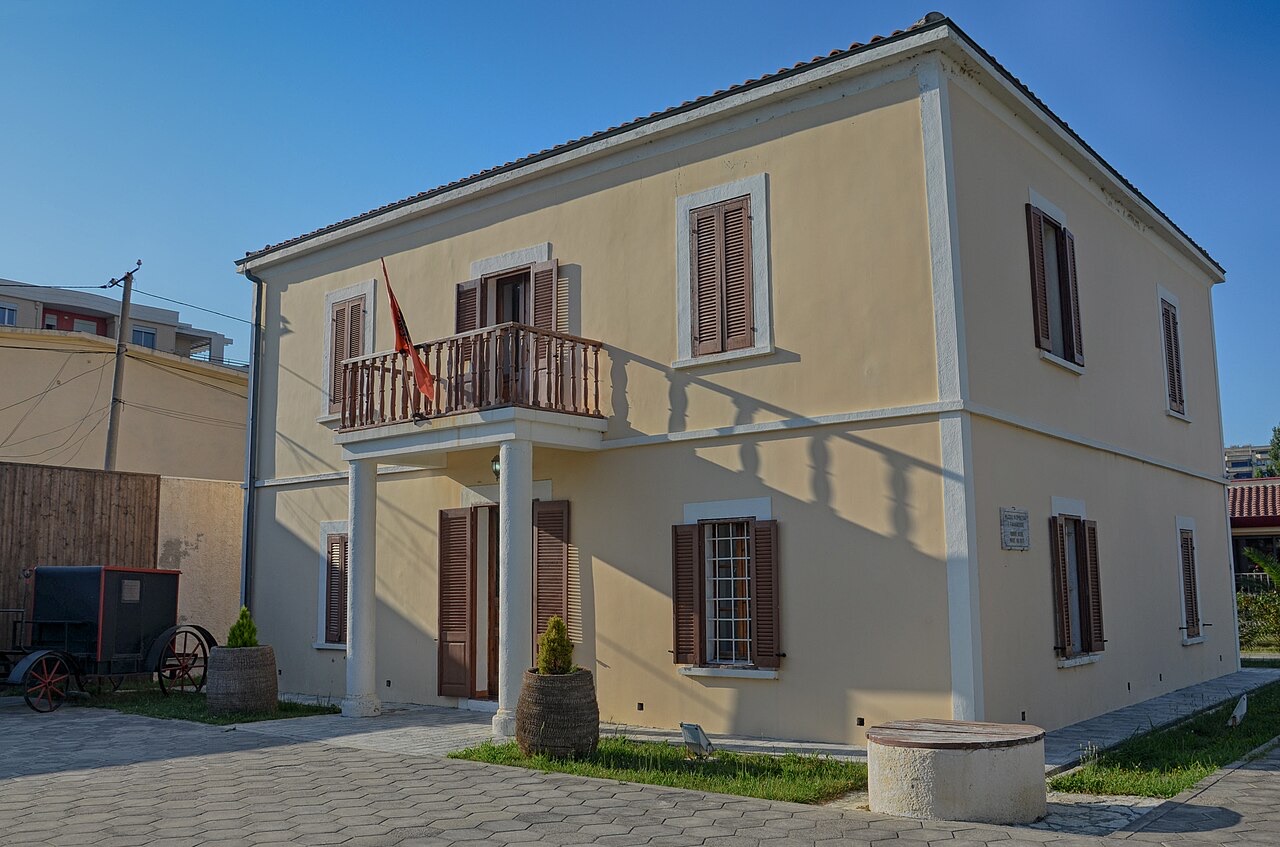
On 28 November 1912, during the First Balkan War, Ismail Qemali led the signing of the Albanian Declaration of Independence in Vlorë, making the city Albania's first capital. The Museum of Independence is housed in the 19th-century building where the founding document was signed, and the building's balcony is described in Albanian national memory as a symbol of the independence movement. The Monument of Independence, located on Flag's Square, commemorates the event.
Following independence, Vlorë's position was contested. A short-lived plot known as the 1914 Vlorë Raid attempted in January of that year to return Albania to Ottoman control. Italy invaded the city in 1914 during World War I and maintained occupation until an Albanian rebellion forced Italian forces out in 1920. Italy invaded again in 1939, and Italian occupation continued until Italy's surrender to the Allies in 1943. Nazi Germany then occupied the city until 1944, when it was taken by communist forces under Enver Hoxha.
During World War II, Sazan Island, located at the entrance to the Bay of Vlorë, became a German and Italian submarine base and naval installation; the Allies subjected these facilities to heavy bombing. After the war, with Albania governed by the Communist Party, the port at Pasha Liman Base was leased to the Soviet Union for use as a submarine base.
During 1960 and 1961, Vlorë became a focal point of the rupture between Albania and the Soviet Union after Enver Hoxha denounced Nikita Khrushchev's reforms. In April 1961, the Soviet Union threatened to occupy Vlorë with troops and cut off all Soviet economic, military and technical aid to Albania in response to being pushed out after considerable investment in the naval facilities. The threat was not carried out, in part because of simultaneous international developments including the Cuban Missile Crisis.
Following the 1968 Warsaw Pact invasion of Czechoslovakia, Hoxha ordered the construction of hundreds of thousands of concrete bunkers across Albania, a response to what he perceived as the country's strategic vulnerability. Vlorë served during the communist period as an important recruitment centre for the Sigurimi, the Albanian state security, intelligence and secret police service. In 1997, Vlorë was the centre of widespread civil unrest following the collapse of pyramid investment schemes that contributed to the downfall of the Sali Berisha government.
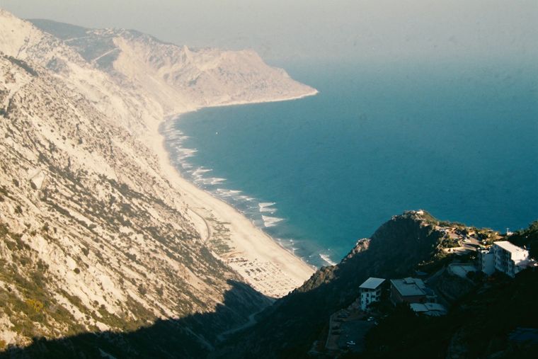
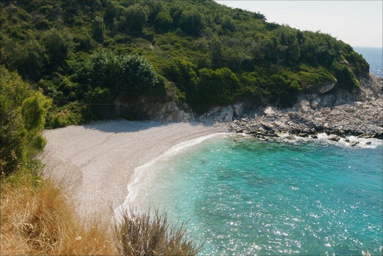
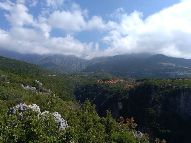
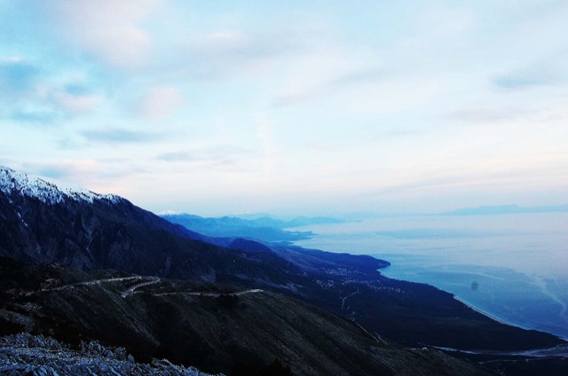
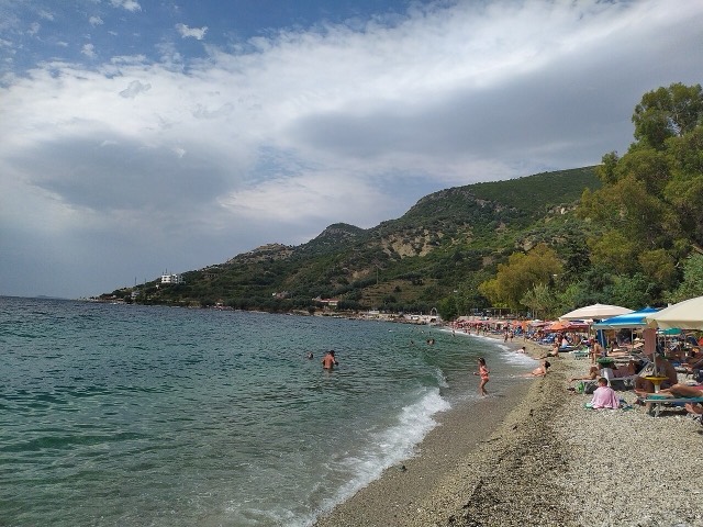
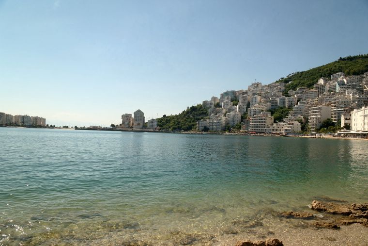
Vlorë is situated on the Bay of Vlorë along the Albanian Adriatic and Ionian Sea coasts, in the eastern part of the Strait of Otranto, surrounded by the foothills of the Ceraunian Mountains. The municipality covers an area of 647.94 square kilometres and is composed of the administrative units of Novoselë, Orikum, Qendër Vlorë, Shushicë and Vlorë. It extends from the mouth of the Vjosë river in the north, along the Narta Lagoon, to the Llogara Pass in the south. The Karaburun Peninsula and Sazan Island lie within municipal boundaries to the west; the Shushica-Vlorë River forms the eastern border.
Protected areas within or adjacent to the municipality include the Karaburun-Sazan Marine Park, Llogara National Park and the Vjosa Wild River National Park. The municipality forms part of the Southern Region of Albania and is encompassed within Vlorë County. The A2 motorway and the SH8 highway, together with the Port of Vlorë, place the city on the Adriatic–Ionian Corridor and the Pan-European Corridor VIII.
Vlorë has a hot-summer Mediterranean climate, classified under the Köppen system as Csa. The average annual temperature is 16.9 °C (62.4 °F). Summers are dry and hot; winters are mild and rainy. August is the warmest month, with an average temperature of 26.8 °C (80.2 °F), while January is the coldest, averaging 7.9 °C (46.2 °F). The climate is influenced by the Ceraunian Mountains and the proximity of the Mediterranean Sea.
Vlorë receives an annual average of 2,745.2 hours of sunshine. July is the sunniest month, averaging approximately 12 hours of sunshine per day; in January the daily average falls below 7 hours. During the reference period of 1961 to 1990, annual averages recorded 82 days with more than 1 mm of rainfall, 26 days with thunderstorms, five days with hail and one day of snowfall.
Vlorë functions as a major seaport and commercial centre with fishing and industrial sectors. The surrounding region produces petroleum, natural gas, bitumen and salt; the city is also a centre for food processing, oil and bitumen export industries and hosts installations of the Albanian Navy. Historically the surrounding district produced oats, maize, cotton, olive oil, cattle, sheep, skins, hides and butter. The Port of Vlorë is described as the second busiest port in Albania, located on the northern part of the city's coast.
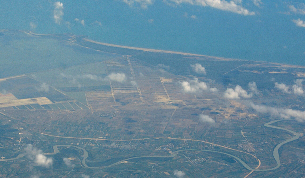
The Technical and Economic Development Area (TEDA) in Vlorë is located approximately 151 kilometres from Tirana. It occupies flat, saline land partially covered by the Soda Forest and is designated for industrial, processing, commercial, storage, electronics, auto-parts manufacturing and port-related activities. Official data from 2014 recorded an employable labour force of 125,954 in Vlorë, of whom 84,836 were employed; 35 percent held a high school qualification and 17 percent a university degree.
Road connections are provided by the A2 motorway, which runs parallel to the SH8 highway from Fier and terminates at the northern edge of the city, and by the SH8 highway itself, which links the city northward to Fier and southward along the Albanian Riviera to Sarandë. The Vlorë railway station is the southern terminus of the Durrës–Vlorë line, extended from Fier in 1985. Passenger services south of Fier ceased by 2015; since 2018 the private company Albrail has operated freight trains on the Fier–Vlorë section. A proposed international airport, to be built at the village of Akërni within the Vjosa-Narta Protected Landscape, was officially launched on 28 November 2021, with a completion target of April 2024; the project attracted widespread criticism due to its location.
According to World Bank data published in 2016, Vlorë ranked 7th among 22 cities in Southeastern Europe in economy rankings conducted by the World Bank Group, placing it ahead of Tirana, Belgrade and Sarajevo in that assessment. In April 2024, reports indicated that Jared Kushner, through his company Affinity Partners, planned to develop a resort in Vlorë as part of broader investment plans in the Balkans.
According to Institute of Statistics estimates from the 2011 census, 79,513 people resided in the city of Vlorë and 104,827 in the wider municipality, making it Albania's third most populous city and fifth most populous municipality. The estimated population density of the municipality was 169.9 inhabitants per square kilometre. The city's population had grown from 71,662 in 1989 to 79,513 in 2011, while the municipality's population declined over the same period from 114,497 to 104,827.
Vlorë is geographically and culturally part of the historical region of Labëria. Most Albanian inhabitants speak the Lab dialect of southern Tosk Albanian. Labëria is recognised as the birthplace of Albanian polyphonic music, which UNESCO has proclaimed a Masterpiece of the Oral and Intangible Heritage of Humanity. The city is religiously diverse; its population has traditionally adhered to Islam, Christianity and Judaism. In the 19th and early 20th century, Albanian-speaking Muslims formed the majority, with smaller numbers of Greek-speaking families, Albanian Orthodox, Jews and Catholics. In 1994 the ethnic Greek community numbered an estimated 8,000 people; a Greek school was recorded as operating in the city as early as 1741.
The University of Vlora, founded in 1994 as a technological university and described as the second largest university in Albania, has since expanded into economics and finance, education, medicine and law. Three journals are based at the university, including Buletini Shkencor i Universitetit te Vlorës, published quarterly in Albanian, and Academicus International Scientific Journal, a peer-reviewed English-language publication founded by Arta Musaraj in 2008. Two private universities also operate in the city: Universiteti Pavarësia Vlorë and Akademia e Studimeve të Aplikuara 'Reald', the latter having begun as a school and expanded to university level in 2011. Vlorë is twinned with Hollywood, Florida in the United States and Yangzhou in China.
En sıcak ay August (günlük azami sıcaklık ortalaması 32°C), en soğuk ay ise January (günlük asgari sıcaklık ortalaması 5°C), ve en yağışlı ay November (142 mm). Yıllık toplam yağış ortalaması 1,037 mm. Deniz suyu sıcaklığı Ağustos'ta yaklaşık 25°C.
| Ay | Azami | Asgari | Yağış | Yağışlı gün | Güneş/gün | Deniz |
|---|---|---|---|---|---|---|
| January | 12°C | 5°C | 103 mm | 12 | 7.4 h | 16°C |
| February | 13°C | 6°C | 98 mm | 11 | 8.3 h | 15°C |
| March | 16°C | 7°C | 97 mm | 11 | 9.8 h | 15°C |
| April | 19°C | 10°C | 82 mm | 11 | 11.0 h | 16°C |
| May | 24°C | 15°C | 63 mm | 8 | 12.2 h | 19°C |
| June | 28°C | 19°C | 41 mm | 6 | 13.6 h | 22°C |
| July | 32°C | 22°C | 26 mm | 5 | 13.8 h | 24°C |
| August | 32°C | 22°C | 30 mm | 5 | 12.9 h | 25°C |
| September | 27°C | 18°C | 101 mm | 9 | 10.8 h | 25°C |
| October | 22°C | 14°C | 123 mm | 9 | 9.3 h | 24°C |
| November | 18°C | 11°C | 142 mm | 12 | 7.4 h | 20°C |
| December | 14°C | 7°C | 131 mm | 13 | 6.8 h | 18°C |
Kaynak: ERA5 reanalysis via Open-Meteo, 1994–2023 · "Azami" ve "Asgari", günlük ortalama maksimum ve minimum hava sıcaklıklarıdır. "Yağışlı gün", en az 1 mm yağış düşen günlerin sayısını ifade eder.
Tarihi alan · Vlorë
A Greek, Roman, Byzantine, Venetian and Ottoman city layered on one wooded peninsula — Albania's first UNESCO site.
Şehir · Vlorë
The Ionian resort town facing Corfu, and the arrival point for most visitors to southern Albania.
İlçe · Vlorë
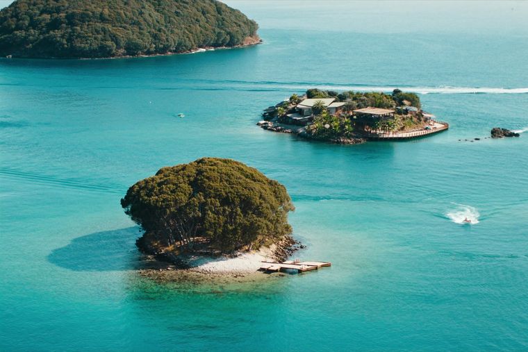
Four small islands and very clear shallow water; the most photographed and most crowded stretch of the Albanian coast.
Koruma altındaki alan · Vlorë
A wetland and forest park wrapped around the archaeological city, on the Vivari channel.
Şehir · Vlorë
Where the Adriatic meets the Ionian, and where Albanian independence was declared in 1912.
Dağ sırası · Vlorë
The coastal ridge that makes the Riviera: 2,000 m peaks rising directly out of the Ionian.
İlçe · Vlorë
The centre of the Riviera coast: a Greek-speaking historical community, an old hill village and a string of coves.
Göl · Vlorë
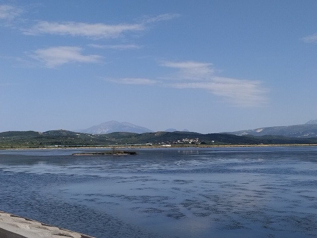
Albania's second-largest lagoon, with working saltpans and the island monastery of Zvërnec.
Tarihi alan · Vlorë
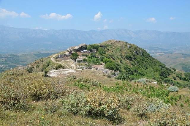
An Illyrian hill city whose stadium — cut into the slope — is among the best preserved in the region.
Koruma altındaki alan · Vlorë
Albania's only marine national park: sea caves, wrecks and the country's clearest water.
Koruma altındaki alan · Vlorë
A pine-forested pass at 1,027 m where the road drops from mountain forest to the Ionian in a few kilometres.
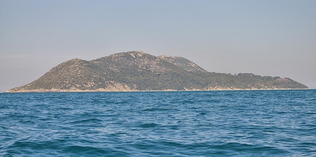
Albania's largest island: a former Italian and then Soviet-era military base at the mouth of the Bay of Vlorë.
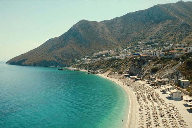
A long white pebble shore under the Ceraunian ridge, and the Riviera's main nightlife strip.
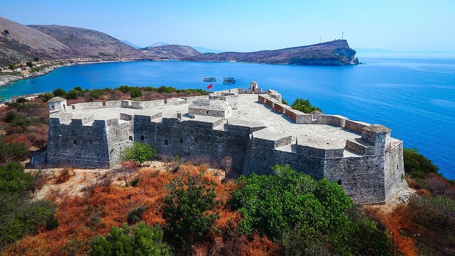
A triangular fortress on a causeway peninsula, built for Ali Pasha of Tepelena.
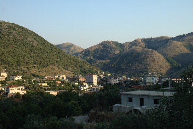
A hill town above the Sarandë plain with a mixed Albanian and Greek population.
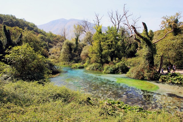
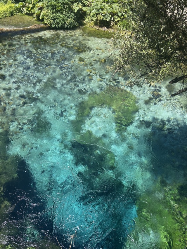
A karst spring of extraordinary clarity whose bottom has never been definitively reached.
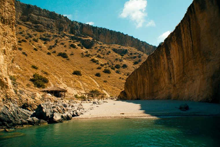
A pebble beach at the mouth of a limestone canyon, reachable only on foot or by boat.
A remote bay on the Karaburun peninsula whose cliffs carry Greek and Latin inscriptions cut by ancient sailors.
The 120 km of Ionian coast between the Llogara pass and Sarandë, where the Ceraunian mountains fall straight into the sea.
A cypress-covered island in the Narta lagoon holding a 13th–14th-century Orthodox monastery.
The first Riviera beach south of the Llogara pass, below the road's most dramatic descent.
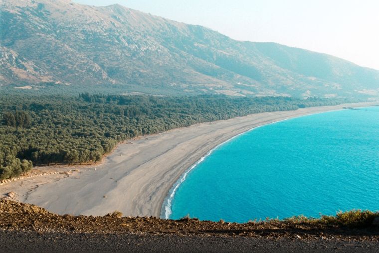
At roughly 7 km, the longest single beach on the Riviera, backed by one of Albania's largest olive groves.
The pine-backed northern half of the Dhërmi bay, slightly quieter than the main strip.
Albania's southernmost town, on the Greek border near the Butrint wetlands.
A run of small coves — Bunec, Krorëz and Shpella — below the village of Lukovë.
A marina town at the foot of Llogara, beside the ancient harbour of Oricum.
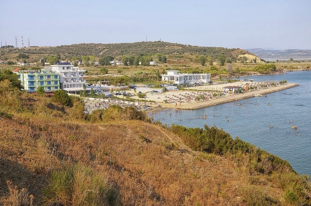
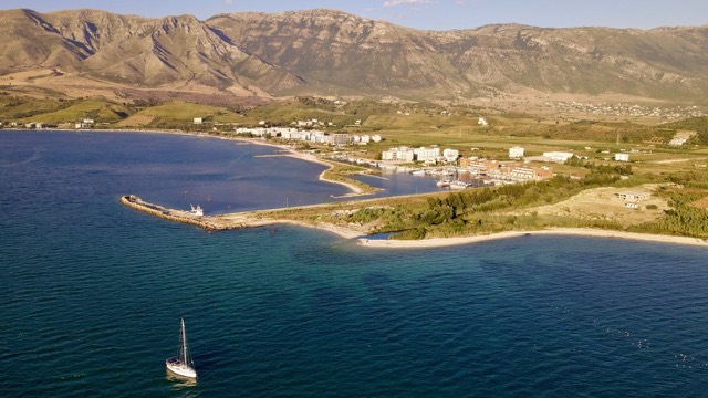
The sheltered eastern shore of the Bay of Vlorë, facing the Karaburun peninsula.
A municipality of villages near Sarandë, containing the Blue Eye and the ancient site of Phoenice.
An old white village on the slope above one of the Riviera's longest pebble beaches.
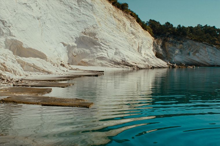
Rock shelves and a small pebble strip where the water is unusually still.
A steep stone village between Dhërmi and Himarë, above Jal and Gjipe.
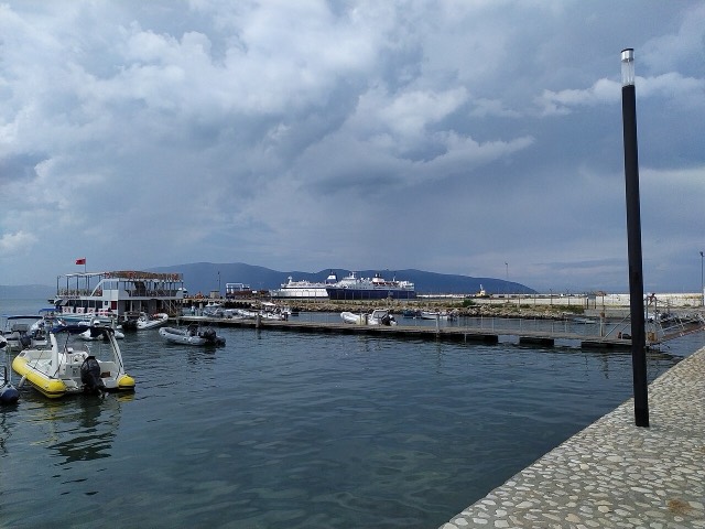
Albania's second passenger port, with a seasonal fast link to Brindisi.
A near-enclosed bay wrapped around Ali Pasha's triangular fortress on its own peninsula.
A small cove between Sarandë and Ksamil, reached by a rough track.
A narrow limestone slot that meets the sea at Gjipe beach — the Riviera's one true canyon.
Şehir · Berat
The 'city of a thousand windows': an Ottoman hill town under a still-inhabited castle, UNESCO-listed since 2008.
Şehir · Gjirokastër
The 'stone city': slate-roofed tower houses on a steep slope beneath one of the Balkans' largest castles.
Dağ sırası · Vlorë
The coastal ridge that makes the Riviera: 2,000 m peaks rising directly out of the Ionian.
Göl · Vlorë
Albania's second-largest lagoon, with working saltpans and the island monastery of Zvërnec.
Tarihi alan · Vlorë
An Illyrian hill city whose stadium — cut into the slope — is among the best preserved in the region.
Koruma altındaki alan · Vlorë
Albania's only marine national park: sea caves, wrecks and the country's clearest water.
Koruma altındaki alan · Vlorë
A pine-forested pass at 1,027 m where the road drops from mountain forest to the Ionian in a few kilometres.
Tarihsel dönem
Declared at Vlorë on 28 November 1912 as the Ottoman Empire collapsed in the Balkan Wars.
Konu
A black double-headed eagle on red — Skanderbeg's standard, and one of the oldest continuously used national symbols in Europe.
Plaj · Vlorë
The sheltered eastern shore of the Bay of Vlorë, facing the Karaburun peninsula.
Kişi
The Ottoman statesman who raised the flag at Vlorë and led Albania's first provisional government.
Üniversite · Vlorë
A coastal university with a marine, maritime and technical focus.
Karşılaştırma
Two coastal cities 120 km apart that solve different problems: Sarandë is the base for the far south, Vlorë is a working city…
Bu sayfada bir hata mı var? Düzeltmeler memnuniyetle karşılanır ve kaynak kayıtla karşılaştırılarak kontrol edilir. Neyin yanlış olduğunu ve mümkünse doğru rakamın kaynağını bize bildirin.