Área protegida · Shkodër
Theth National Park
The glacial valley park at the heart of the Albanian Alps, merged into a wider protected complex in 2022.
Cada condado, cada costa, cada século
Vista guiada
Novo na Albânia? Cada página começa com uma explicação em linguagem simples, acessível a uma criança de dez anos, antes de entrar em pormenor.
Vista para especialistas
Já conhece o essencial. Direto ao conteúdo, com as explicações simples ocultadas. Esta é a vista predefinida.
Aldeia · Kukës County
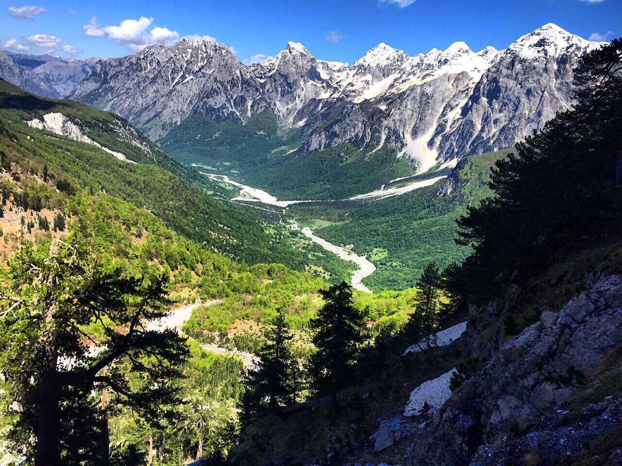
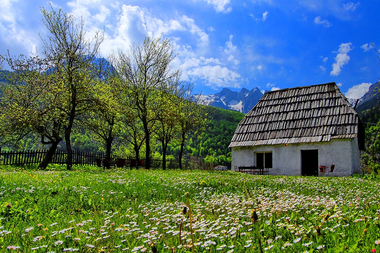
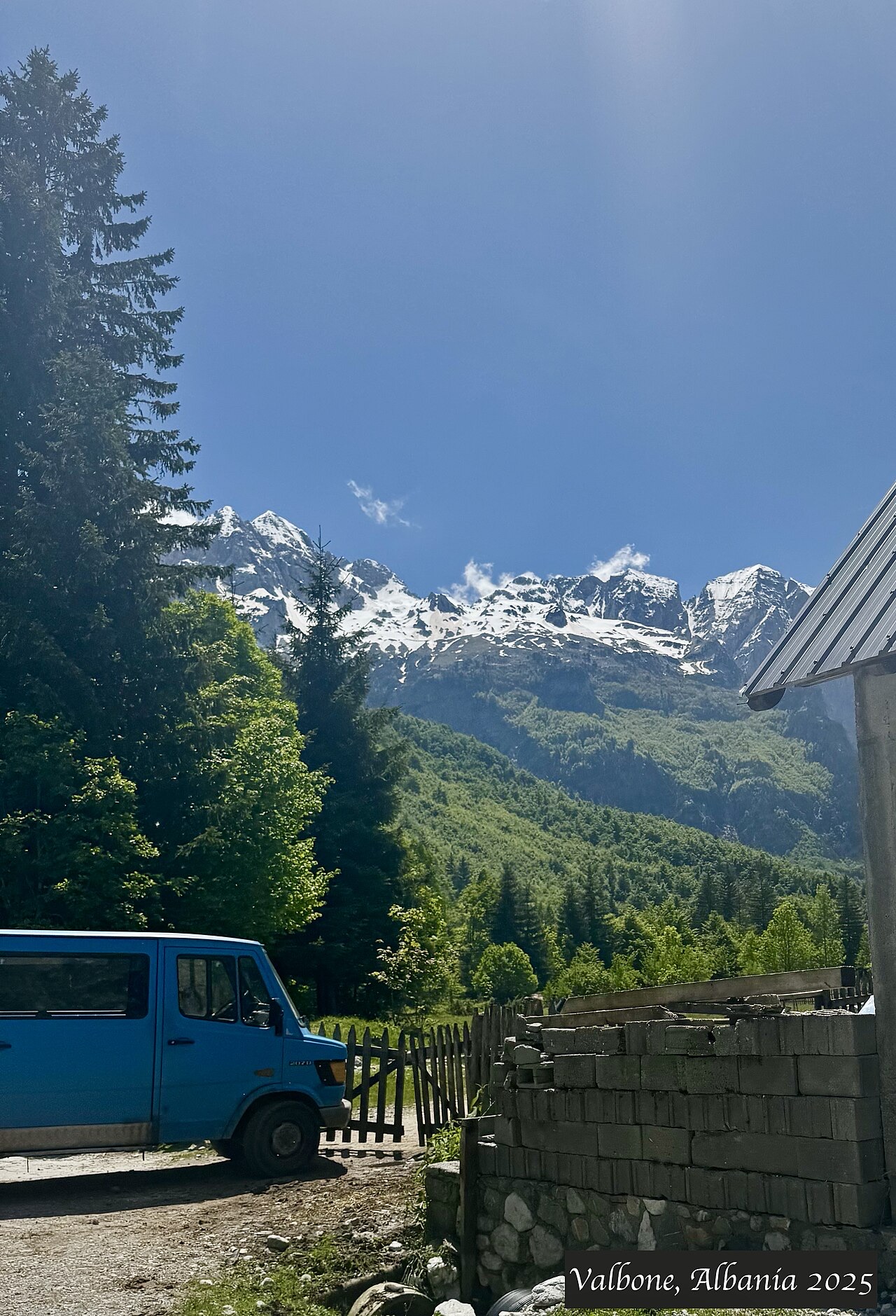
A wide white riverbed under 2,500 m peaks; the eastern end of the Theth trek.
Guardar
Valbonë is a valley in the northern mountains with a wide, stony river and very steep peaks on both sides. Walkers cross a high pass between here and Theth.
Valbonë is a valley in the northern mountains with a wide, stony river and very steep peaks on both sides. Walkers cross a high pass between here and Theth.
O mês mais quente é August (temperatura máxima média diária 25°C), o mais frio é January (temperatura mínima média diária -3°C), e o mais chuvoso é December (233 mm). A precipitação total anual média é 1,910 mm.
| Mês | Máx. | Mín. | Chuva | Dias com chuva | Sol/dia |
|---|---|---|---|---|---|
| January | 3°C | -3°C | 187 mm | 13 | 6.2 h |
| February | 4°C | -2°C | 168 mm | 12 | 7.2 h |
| March | 8°C | 0°C | 163 mm | 14 | 8.9 h |
| April | 12°C | 4°C | 141 mm | 16 | 10.0 h |
| May | 18°C | 9°C | 148 mm | 18 | 11.4 h |
| June | 22°C | 13°C | 126 mm | 17 | 13.1 h |
| July | 25°C | 15°C | 118 mm | 15 | 13.4 h |
| August | 25°C | 16°C | 106 mm | 14 | 12.5 h |
| September | 20°C | 12°C | 155 mm | 14 | 10.1 h |
| October | 16°C | 8°C | 146 mm | 11 | 8.5 h |
| November | 10°C | 4°C | 219 mm | 13 | 6.5 h |
| December | 5°C | -1°C | 233 mm | 14 | 5.7 h |
Fonte: ERA5 reanalysis via Open-Meteo, 1994–2023 · "Máx." e "Mín." são as temperaturas do ar máxima e mínima médias diárias. "Dias com chuva" conta os dias com pelo menos 1 mm de precipitação.
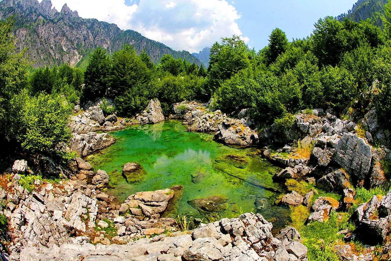
Área protegida · Shkodër
The glacial valley park at the heart of the Albanian Alps, merged into a wider protected complex in 2022.
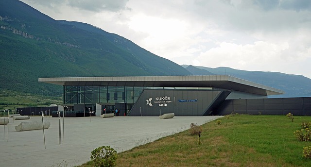
Aeroporto · Kukës
A small northern airport that opened to commercial flights in 2021, mainly serving the diaspora.
Área protegida · Kukës
A broad U-shaped glacial valley of white gravel and beech forest under the Alps' highest peaks.
Instalação energética · Kukës
The uppermost and largest of the Drin dams, creating a reservoir shared with Kosovo.
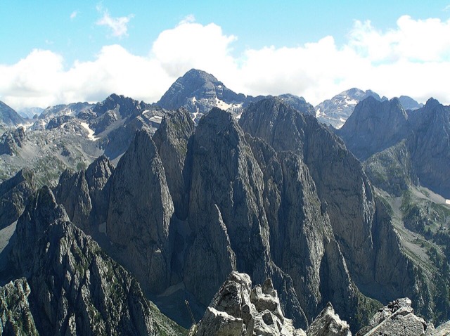
Cordilheira · Shkodër
The limestone wall of the far north — locally the Accursed Mountains — shared with Montenegro and Kosovo.
Montanha · Shkodër
At 2,694 m the highest peak entirely inside the Dinaric Alps, deep in the Albanian Alps.
Vila · Kukës
The road head for the Valbona valley, named after a guerrilla leader of the 1920s.
Aldeia · Shkodër
A glacial valley village in the Albanian Alps: a lock-in tower, a waterfall, and one end of the country's best-known trek.
Guia
The Alps, the Koman ferry and the Shkodër lake country: the part of Albania least like the coast.
Guia
Albania's best-known walk: roughly 17 km over a 1,795 m pass, six to eight hours, June to October.
Algo errado nesta página? As correções são bem-vindas e verificadas em confronto com o registo de origem. Indique o que está errado e, se possível, de onde provém o valor correto.