Beschermd gebied · Shkodër
Theth National Park
The glacial valley park at the heart of the Albanian Alps, merged into a wider protected complex in 2022.
Elke provincie, elke kust, elke eeuw
Begeleidende weergave
Nieuw in Albanië? Elke pagina begint met een uitleg in eenvoudige taal die u aan een tienjarige zou kunnen voorlezen, voordat de details beginnen.
Expertweergave
U kent de basis al. Meteen naar de kern, met de eenvoudige uitleg verborgen. Dit is de standaardinstelling.
Dorp · Kukës County
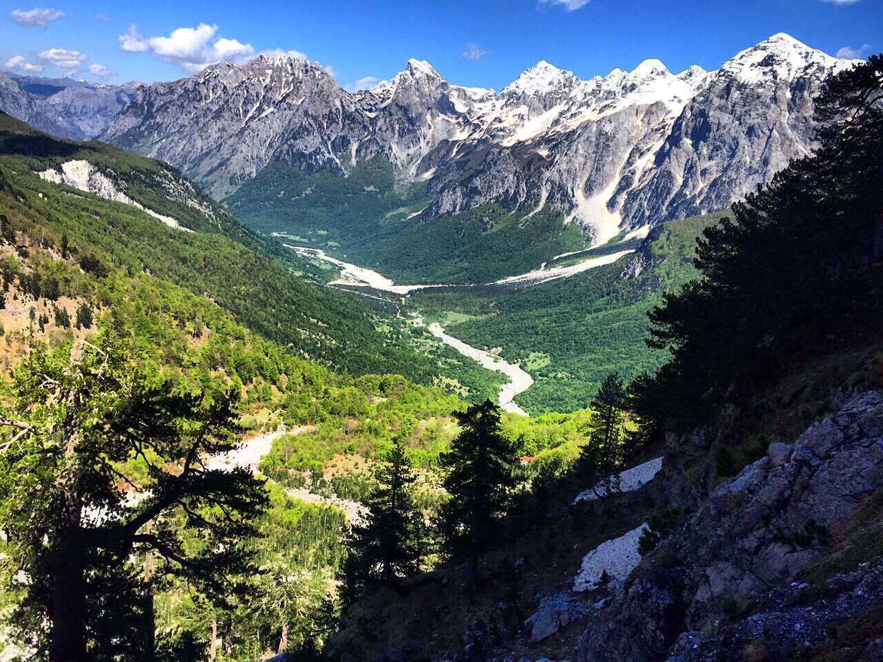
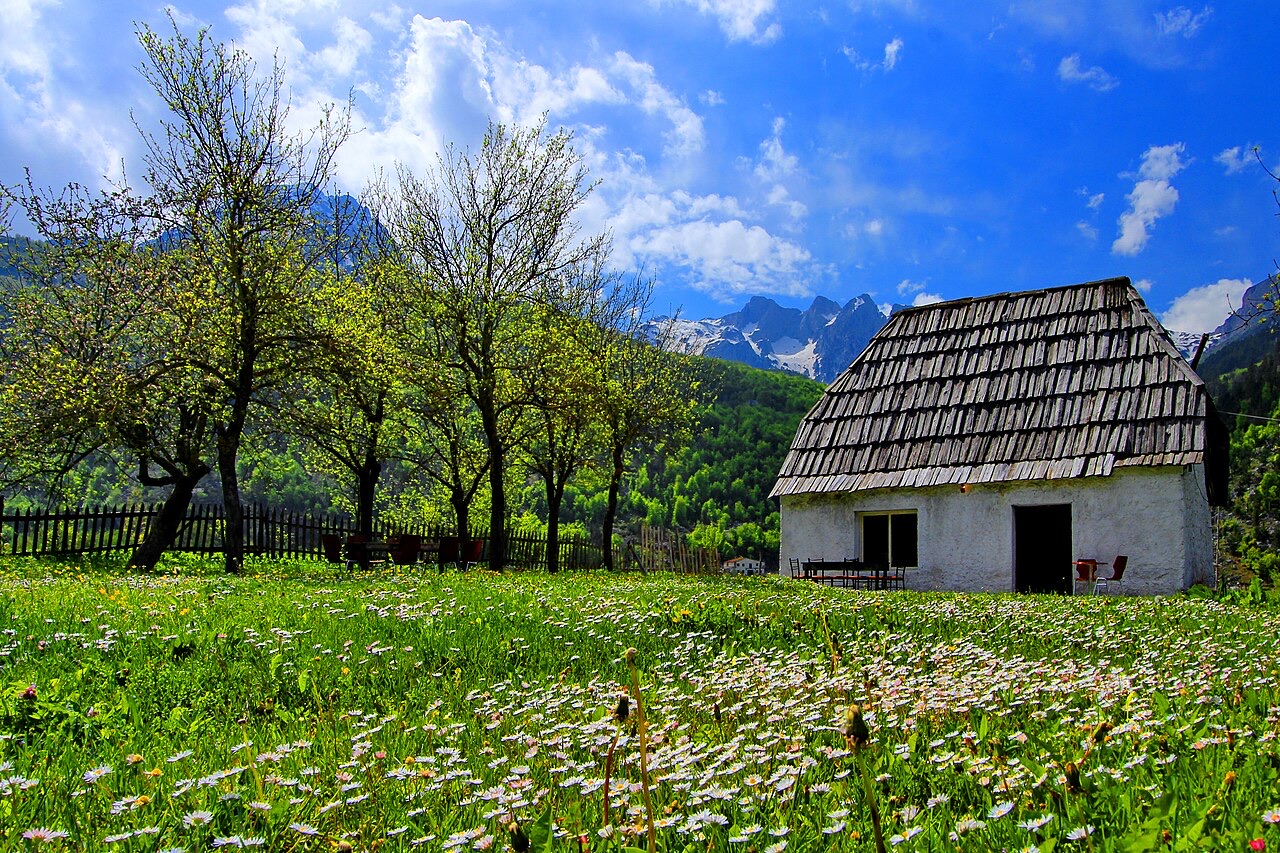
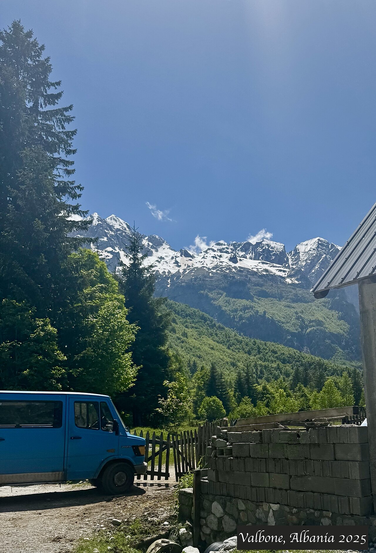
A wide white riverbed under 2,500 m peaks; the eastern end of the Theth trek.
Opslaan
Valbonë is a valley in the northern mountains with a wide, stony river and very steep peaks on both sides. Walkers cross a high pass between here and Theth.
Valbonë is a valley in the northern mountains with a wide, stony river and very steep peaks on both sides. Walkers cross a high pass between here and Theth.
De warmste maand is August (gemiddeld dagelijks maximum 25°C), de koudste is January (gemiddeld dagelijks minimum -3°C), en de natste is December (233 mm). De gemiddelde jaarlijkse neerslag bedraagt 1,910 mm.
| Maand | Maximum | Minimum | Neerslag | Natte dagen | Zon/dag |
|---|---|---|---|---|---|
| January | 3°C | -3°C | 187 mm | 13 | 6.2 h |
| February | 4°C | -2°C | 168 mm | 12 | 7.2 h |
| March | 8°C | 0°C | 163 mm | 14 | 8.9 h |
| April | 12°C | 4°C | 141 mm | 16 | 10.0 h |
| May | 18°C | 9°C | 148 mm | 18 | 11.4 h |
| June | 22°C | 13°C | 126 mm | 17 | 13.1 h |
| July | 25°C | 15°C | 118 mm | 15 | 13.4 h |
| August | 25°C | 16°C | 106 mm | 14 | 12.5 h |
| September | 20°C | 12°C | 155 mm | 14 | 10.1 h |
| October | 16°C | 8°C | 146 mm | 11 | 8.5 h |
| November | 10°C | 4°C | 219 mm | 13 | 6.5 h |
| December | 5°C | -1°C | 233 mm | 14 | 5.7 h |
Bron: ERA5 reanalysis via Open-Meteo, 1994–2023 · "Maximum" en "Minimum" zijn het gemiddelde dagelijkse maximum en minimum van de luchttemperatuur. "Natte dagen" telt dagen met ten minste 1 mm neerslag.
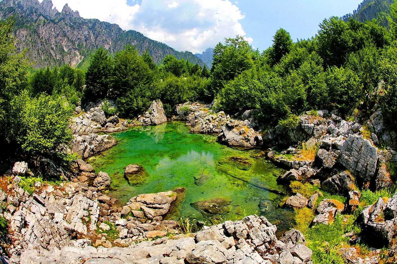
Beschermd gebied · Shkodër
The glacial valley park at the heart of the Albanian Alps, merged into a wider protected complex in 2022.
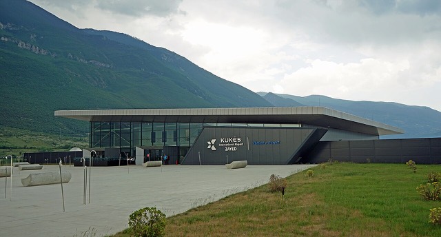
Luchthaven · Kukës
A small northern airport that opened to commercial flights in 2021, mainly serving the diaspora.
Beschermd gebied · Kukës
A broad U-shaped glacial valley of white gravel and beech forest under the Alps' highest peaks.
Energielocatie · Kukës
The uppermost and largest of the Drin dams, creating a reservoir shared with Kosovo.
Bergketen · Shkodër
The limestone wall of the far north — locally the Accursed Mountains — shared with Montenegro and Kosovo.
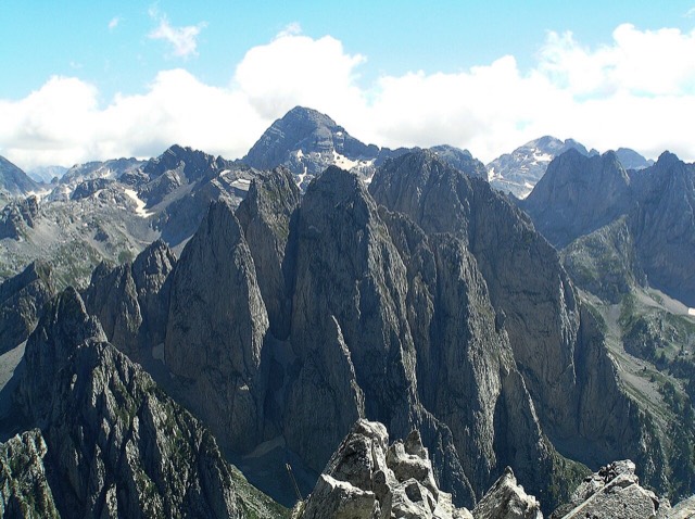
Berg · Shkodër
At 2,694 m the highest peak entirely inside the Dinaric Alps, deep in the Albanian Alps.
Plaats · Kukës
The road head for the Valbona valley, named after a guerrilla leader of the 1920s.
Dorp · Shkodër
A glacial valley village in the Albanian Alps: a lock-in tower, a waterfall, and one end of the country's best-known trek.
Gids
The Alps, the Koman ferry and the Shkodër lake country: the part of Albania least like the coast.
Gids
Albania's best-known walk: roughly 17 km over a 1,795 m pass, six to eight hours, June to October.
Iets onjuist op deze pagina? Correcties zijn welkom en worden gecontroleerd aan de hand van de bronregistratie. Laat ons weten wat onjuist is en, indien mogelijk, waar het juiste cijfer vandaan komt.