Area protetta · Shkodër
Theth National Park
The glacial valley park at the heart of the Albanian Alps, merged into a wider protected complex in 2022.
Ogni contea, ogni costa, ogni secolo
Vista guidata
Non conosci l'Albania? Ogni pagina si apre con una spiegazione in linguaggio semplice, comprensibile anche a un bambino di dieci anni, prima di entrare nei dettagli.
Vista per esperti
Conosci già le basi. Direttamente alla sostanza, con le spiegazioni elementari nascoste. Questa è l'impostazione predefinita.
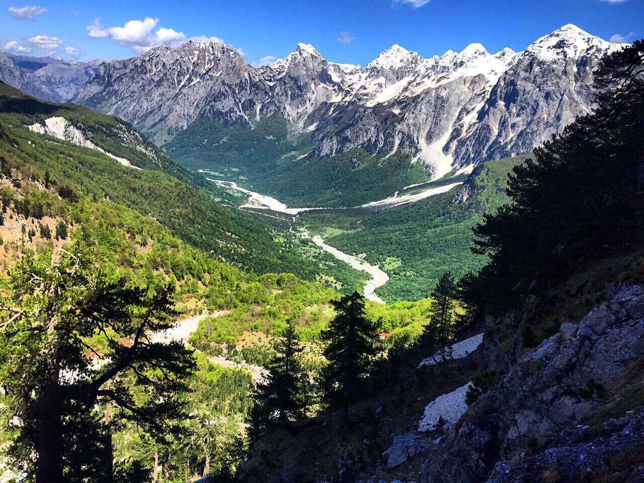
Villaggio · Kukës County
A wide white riverbed under 2,500 m peaks; the eastern end of the Theth trek.
Salva
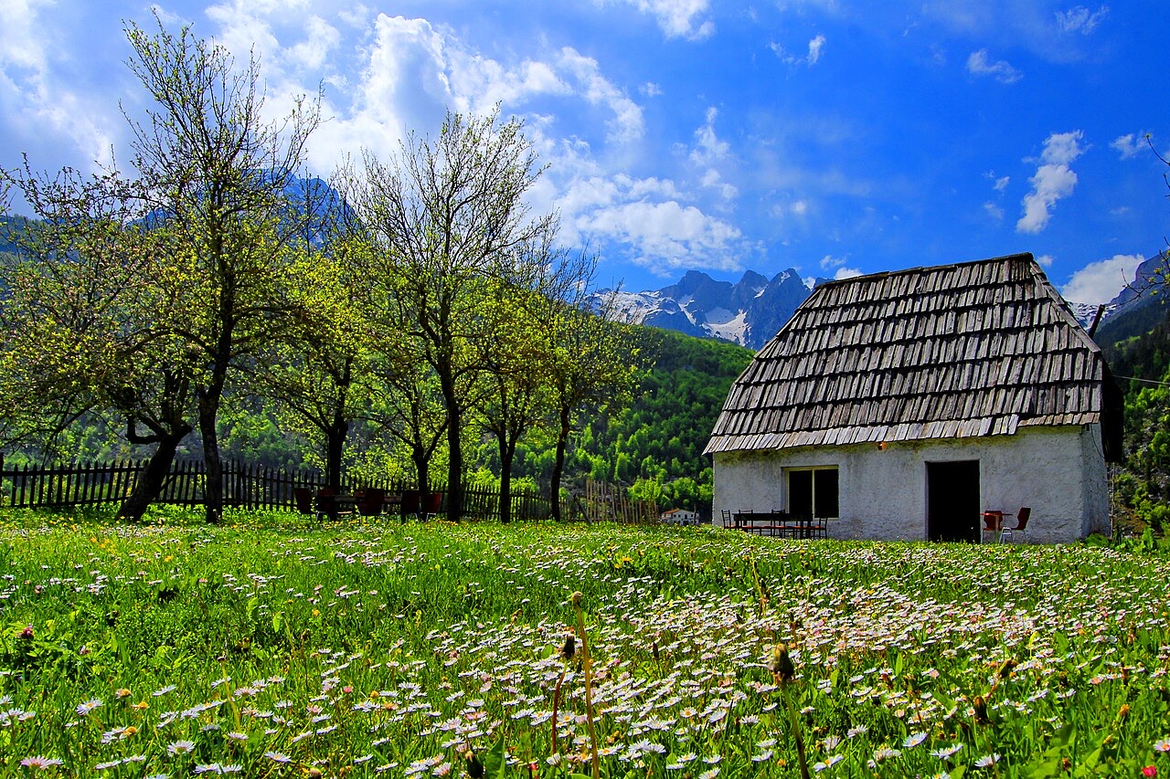
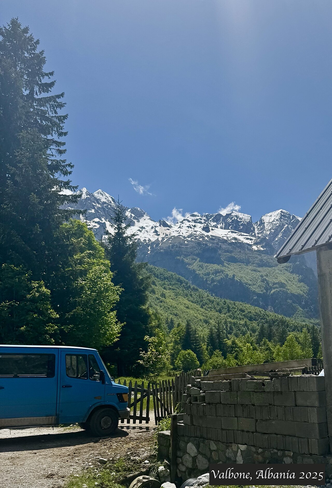
Valbonë is a valley in the northern mountains with a wide, stony river and very steep peaks on both sides. Walkers cross a high pass between here and Theth.
Valbonë is a valley in the northern mountains with a wide, stony river and very steep peaks on both sides. Walkers cross a high pass between here and Theth.
Il mese più caldo è August (massima giornaliera media 25°C), il più freddo è January (minima giornaliera media -3°C), e il più piovoso è December (233 mm). La precipitazione annua totale è in media 1,910 mm.
| Mese | Massima | Minima | Pioggia | Giorni piovosi | Sole/giorno |
|---|---|---|---|---|---|
| January | 3°C | -3°C | 187 mm | 13 | 6.2 h |
| February | 4°C | -2°C | 168 mm | 12 | 7.2 h |
| March | 8°C | 0°C | 163 mm | 14 | 8.9 h |
| April | 12°C | 4°C | 141 mm | 16 | 10.0 h |
| May | 18°C | 9°C | 148 mm | 18 | 11.4 h |
| June | 22°C | 13°C | 126 mm | 17 | 13.1 h |
| July | 25°C | 15°C | 118 mm | 15 | 13.4 h |
| August | 25°C | 16°C | 106 mm | 14 | 12.5 h |
| September | 20°C | 12°C | 155 mm | 14 | 10.1 h |
| October | 16°C | 8°C | 146 mm | 11 | 8.5 h |
| November | 10°C | 4°C | 219 mm | 13 | 6.5 h |
| December | 5°C | -1°C | 233 mm | 14 | 5.7 h |
Fonte: ERA5 reanalysis via Open-Meteo, 1994–2023 · «Massima» e «Minima» sono la temperatura dell'aria massima e minima giornaliera media. «Giorni piovosi» conta i giorni con almeno 1 mm di precipitazione.
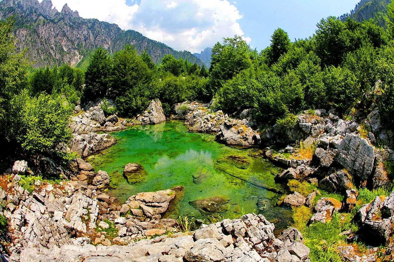
Area protetta · Shkodër
The glacial valley park at the heart of the Albanian Alps, merged into a wider protected complex in 2022.
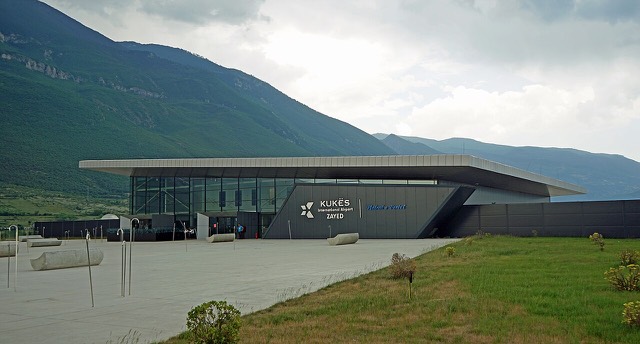
Aeroporto · Kukës
A small northern airport that opened to commercial flights in 2021, mainly serving the diaspora.
Area protetta · Kukës
A broad U-shaped glacial valley of white gravel and beech forest under the Alps' highest peaks.
Impianto energetico · Kukës
The uppermost and largest of the Drin dams, creating a reservoir shared with Kosovo.
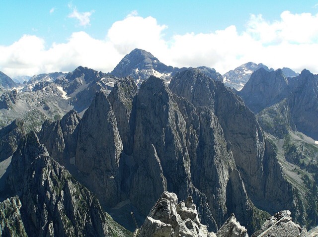
Catena montuosa · Shkodër
The limestone wall of the far north — locally the Accursed Mountains — shared with Montenegro and Kosovo.
Montagna · Shkodër
At 2,694 m the highest peak entirely inside the Dinaric Alps, deep in the Albanian Alps.
Città di medie dimensioni · Kukës
The road head for the Valbona valley, named after a guerrilla leader of the 1920s.
Villaggio · Shkodër
A glacial valley village in the Albanian Alps: a lock-in tower, a waterfall, and one end of the country's best-known trek.
Guida
The Alps, the Koman ferry and the Shkodër lake country: the part of Albania least like the coast.
Guida
Albania's best-known walk: roughly 17 km over a 1,795 m pass, six to eight hours, June to October.
Hai notato un errore in questa pagina? Le correzioni sono benvenute e vengono verificate rispetto al record di fonte. Indica cosa è sbagliato e, se possibile, da dove proviene il dato corretto.