Espace protégé · Shkodër
Theth National Park
The glacial valley park at the heart of the Albanian Alps, merged into a wider protected complex in 2022.
Chaque comté, chaque côte, chaque siècle
Vue guidée
Nouveau en Albanie ? Chaque page s'ouvre sur une explication en langage clair, accessible à un enfant de dix ans, avant d'entrer dans le détail.
Vue expert
Vous connaissez déjà les bases. Directement à l'essentiel, les explications simples étant masquées. Il s'agit du réglage par défaut.
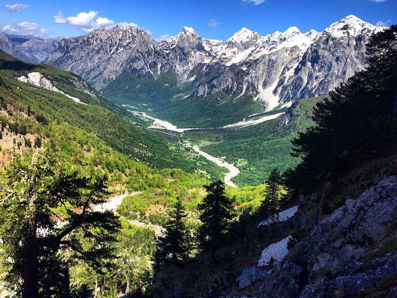
Village · Kukës County
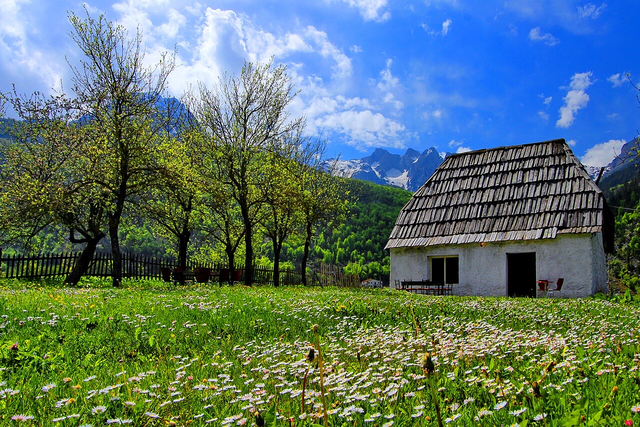
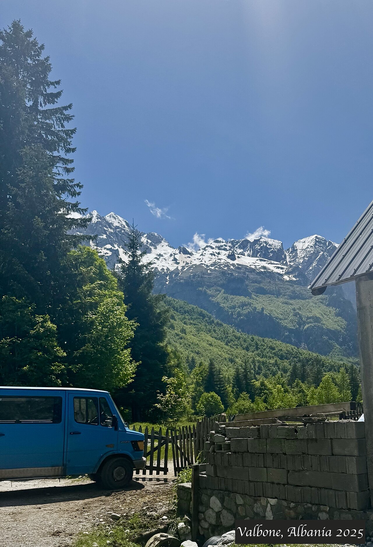
A wide white riverbed under 2,500 m peaks; the eastern end of the Theth trek.
Enregistrer
Valbonë is a valley in the northern mountains with a wide, stony river and very steep peaks on both sides. Walkers cross a high pass between here and Theth.
Valbonë is a valley in the northern mountains with a wide, stony river and very steep peaks on both sides. Walkers cross a high pass between here and Theth.
Le mois le plus chaud est August (maximum quotidien moyen 25°C), le plus froid est January (minimum quotidien moyen -3°C), et le plus pluvieux est December (233 mm). La pluviométrie annuelle totale est en moyenne de 1,910 mm.
| Mois | Max. | Min. | Pluie | Jours de pluie | Ensoleil./jour |
|---|---|---|---|---|---|
| January | 3°C | -3°C | 187 mm | 13 | 6.2 h |
| February | 4°C | -2°C | 168 mm | 12 | 7.2 h |
| March | 8°C | 0°C | 163 mm | 14 | 8.9 h |
| April | 12°C | 4°C | 141 mm | 16 | 10.0 h |
| May | 18°C | 9°C | 148 mm | 18 | 11.4 h |
| June | 22°C | 13°C | 126 mm | 17 | 13.1 h |
| July | 25°C | 15°C | 118 mm | 15 | 13.4 h |
| August | 25°C | 16°C | 106 mm | 14 | 12.5 h |
| September | 20°C | 12°C | 155 mm | 14 | 10.1 h |
| October | 16°C | 8°C | 146 mm | 11 | 8.5 h |
| November | 10°C | 4°C | 219 mm | 13 | 6.5 h |
| December | 5°C | -1°C | 233 mm | 14 | 5.7 h |
Source: ERA5 reanalysis via Open-Meteo, 1994–2023 · « Max. » et « Min. » sont les températures de l'air maximale et minimale quotidiennes moyennes. « Jours de pluie » comptabilise les jours avec au moins 1 mm de précipitations.
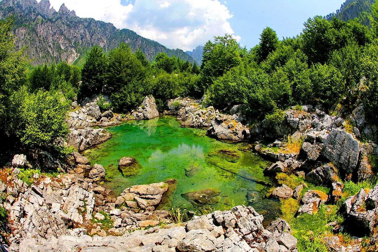
Espace protégé · Shkodër
The glacial valley park at the heart of the Albanian Alps, merged into a wider protected complex in 2022.
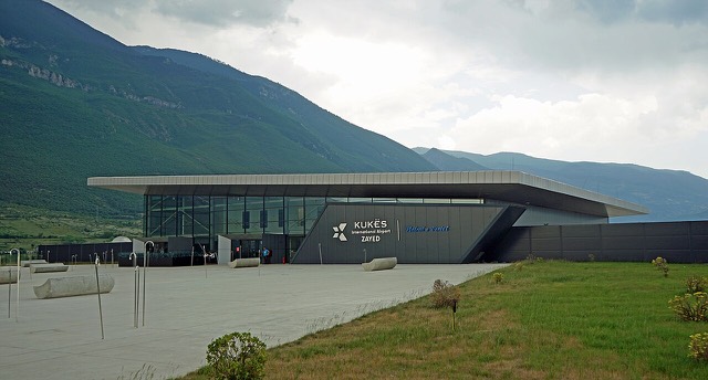
Aéroport · Kukës
A small northern airport that opened to commercial flights in 2021, mainly serving the diaspora.
Espace protégé · Kukës
A broad U-shaped glacial valley of white gravel and beech forest under the Alps' highest peaks.
Site énergétique · Kukës
The uppermost and largest of the Drin dams, creating a reservoir shared with Kosovo.
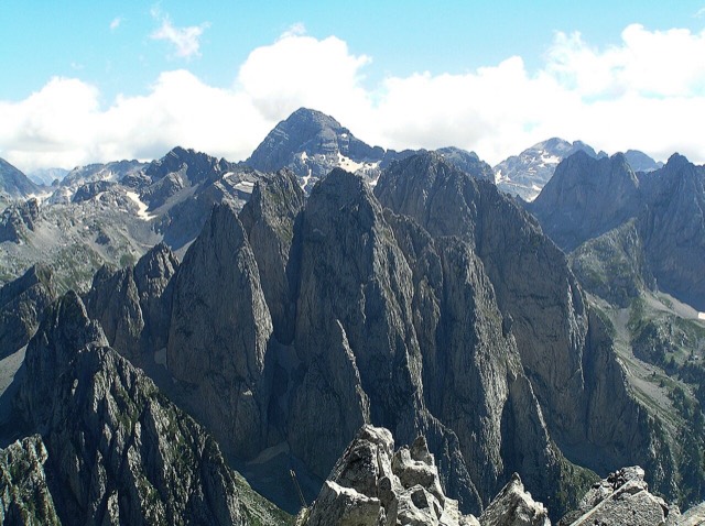
Massif montagneux · Shkodër
The limestone wall of the far north — locally the Accursed Mountains — shared with Montenegro and Kosovo.
Montagne · Shkodër
At 2,694 m the highest peak entirely inside the Dinaric Alps, deep in the Albanian Alps.
Bourg · Kukës
The road head for the Valbona valley, named after a guerrilla leader of the 1920s.
Village · Shkodër
A glacial valley village in the Albanian Alps: a lock-in tower, a waterfall, and one end of the country's best-known trek.
Guide
The Alps, the Koman ferry and the Shkodër lake country: the part of Albania least like the coast.
Guide
Albania's best-known walk: roughly 17 km over a 1,795 m pass, six to eight hours, June to October.
Une erreur sur cette page ? Les corrections sont les bienvenues et sont vérifiées par rapport au document source. Indiquer ce qui est erroné et, si possible, d'où provient le chiffre correct.