Şehir
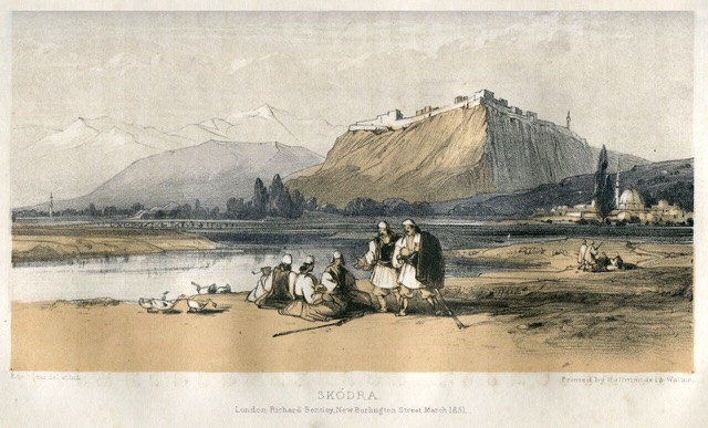
Shkodër
The cultural capital of the north: a lake, a fortress, a bicycle city and a Catholic heartland.
🧭 Rehberli görünüm
Arnavutluk'a yeni misiniz? Her sayfa, ayrıntılara geçmeden önce on yaşında bir çocuğa okuyabileceğiniz sade bir açıklamayla başlar.
⚡ Uzman görünümü
Temel bilgileri zaten biliyorsunuz. Sade açıklamalar gizli, doğrudan özüne geçin. Bu varsayılan ayardır.
![Title: A chief of Thethi, Tribe of Shale [i.e. Shala], Albania Abstract/medium: 1 photographic print.](/static/img/photos/theth-4.jpg)
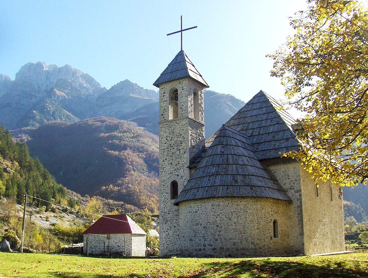
Theth is a village deep in the northern mountains. It has a small stone church, a waterfall, and a tower where men used to hide during blood feuds. A famous walking path crosses the mountains from here to Valbona.
Theth is a village deep in the northern mountains. It has a small stone church, a waterfall, and a tower where men used to hide during blood feuds. A famous walking path crosses the mountains from here to Valbona.
Otuz yıllık normaller — Theth, bu Atlas için 1994–2023 dönemi günlük ERA5 yeniden analiz verileri kullanılarak hesaplanmıştır. Bunlar uzun dönem ortalamalardır, tahmin değildir: tek tek yıllar önemli ölçüde farklılık gösterebilir.
En sıcak ay August (günlük azami sıcaklık ortalaması 26°C), en soğuk ay ise January (günlük asgari sıcaklık ortalaması -2°C), ve en yağışlı ay December (272 mm). Yıllık toplam yağış ortalaması 1,946 mm.
| Ay | Azami | Asgari | Yağış | Yağışlı gün | Güneş/gün |
|---|---|---|---|---|---|
| January | 5°C | -2°C | 211 mm | 14 | 6.0 h |
| February | 6°C | -1°C | 190 mm | 13 | 7.0 h |
| March | 9°C | 1°C | 184 mm | 13 | 8.6 h |
| April | 13°C | 5°C | 156 mm | 16 | 9.7 h |
| May | 19°C | 10°C | 138 mm | 18 | 11.3 h |
| June | 23°C | 14°C | 92 mm | 16 | 13.0 h |
| July | 26°C | 16°C | 80 mm | 12 | 13.4 h |
| August | 26°C | 17°C | 66 mm | 12 | 12.5 h |
| September | 21°C | 13°C | 141 mm | 12 | 10.0 h |
| October | 17°C | 9°C | 156 mm | 11 | 8.4 h |
| November | 12°C | 5°C | 260 mm | 13 | 6.2 h |
| December | 6°C | 0°C | 272 mm | 14 | 5.6 h |
Kaynak: ERA5 reanalysis via Open-Meteo, 1994–2023 · "Azami" ve "Asgari", günlük ortalama maksimum ve minimum hava sıcaklıklarıdır. "Yağışlı gün", en az 1 mm yağış düşen günlerin sayısını ifade eder. JSON olarak al
Bunlar Atlas'taki gerçek ilişkilerdir — bu konuma yakın yerler ve konunun gerçekten ait olduğu alanlar. Burada genel bir öneri niteliği taşıyan hiçbir şey yoktur.
The cultural capital of the north: a lake, a fortress, a bicycle city and a Catholic heartland.
A broad U-shaped glacial valley of white gravel and beech forest under the Alps' highest peaks.
The glacial valley park at the heart of the Albanian Alps, merged into a wider protected complex in 2022.
A tributary of the Drin above Koman, reached by boat and often called Albania's Thailand.
At 2,694 m the highest peak entirely inside the Dinaric Alps, deep in the Albanian Alps.
The limestone wall of the far north — locally the Accursed Mountains — shared with Montenegro and Kosovo.
A wide white riverbed under 2,500 m peaks; the eastern end of the Theth trek.
The seat of Malësi e Madhe, at the foot of the Alps near the Montenegrin border.
The limestone wall of the far north — locally the Accursed Mountains — shared with Montenegro and Kosovo.
The Alps, the Koman ferry and the Shkodër lake country — the part of Albania least like the coast.
Albania's best-known walk: roughly 17 km over a 1,795 m pass, six to eight hours, June to October.
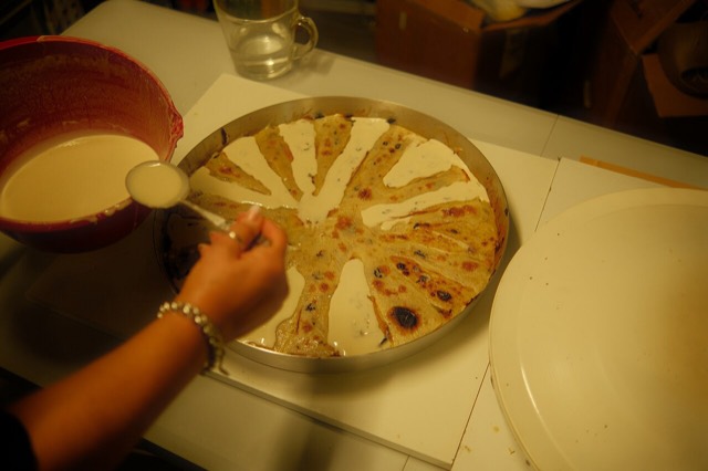
Concentric crepe layers built up one at a time under a hot metal lid — a northern highland dish that takes hours.
A body of customary law that governed the northern highlands for centuries — and the part of it that everyone has…
A body of customary law, best known in the Lekë Dukagjini recension, that governed the northern highlands for…
The two ends of the same walk, and two quite different valleys.
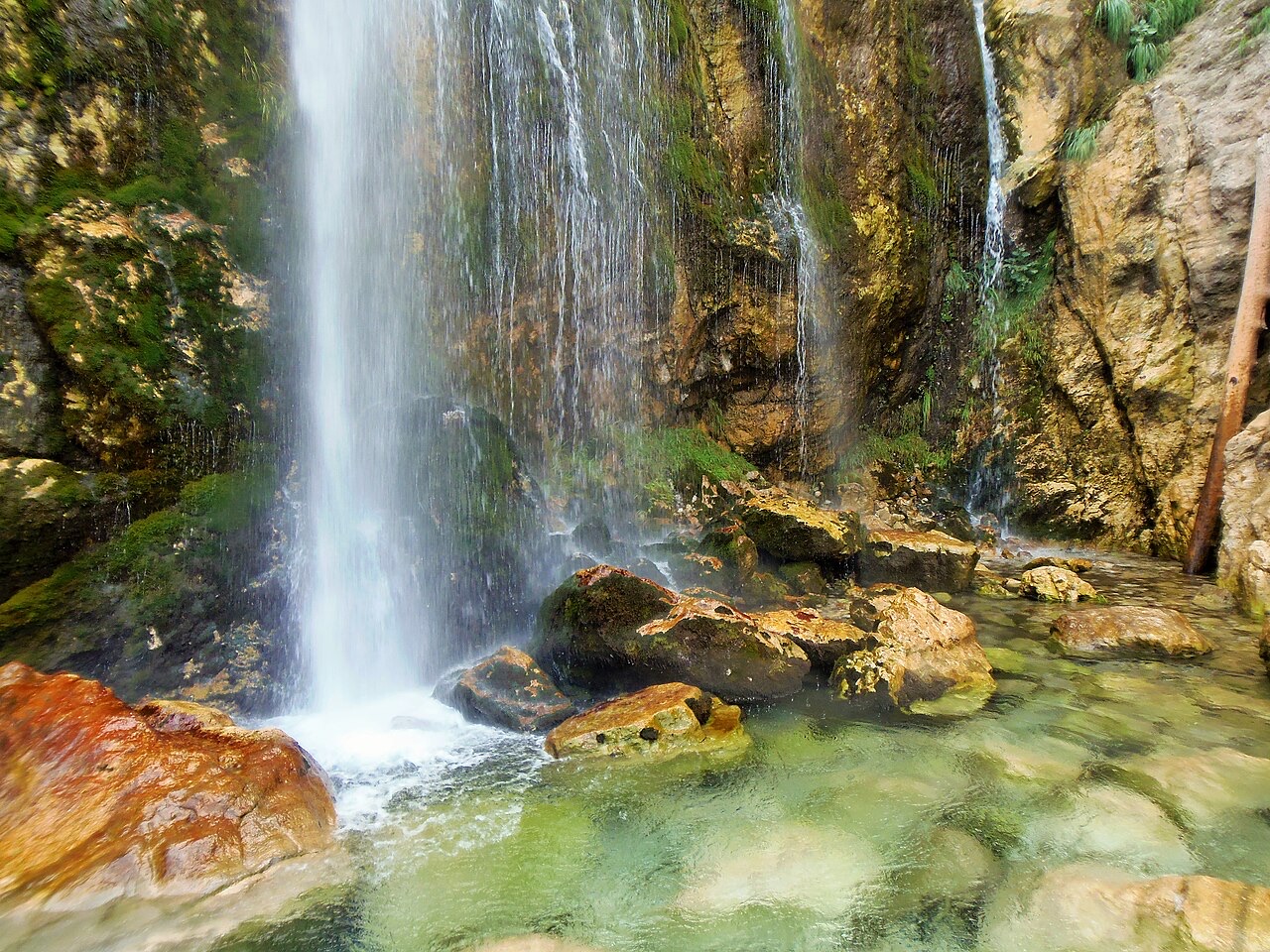
A 25–30 m fall in the Theth valley, and a declared natural monument.
Bu sayfada bir hata mı var? Düzeltmeler memnuniyetle karşılanır ve kaynak kayıtla karşılaştırılarak kontrol edilir. Neyin yanlış olduğunu ve mümkünse doğru rakamın kaynağını bize bildirin.



![Title: A chief of Thethi, Tribe of Shale [i.e. Shala], Albania Abstract/medium: 1 photographic print. (Theth)](/static/img/thumbs/theth-4.jpg)