Città
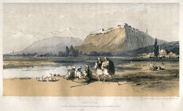
Shkodër
The cultural capital of the north: a lake, a fortress, a bicycle city and a Catholic heartland.
🧭 Vista guidata
Non conosci l'Albania? Ogni pagina si apre con una spiegazione in linguaggio semplice, comprensibile anche a un bambino di dieci anni, prima di entrare nei dettagli.
⚡ Vista per esperti
Conosci già le basi. Direttamente alla sostanza, con le spiegazioni elementari nascoste. Questa è l'impostazione predefinita.
![Title: A chief of Thethi, Tribe of Shale [i.e. Shala], Albania Abstract/medium: 1 photographic print.](/static/img/photos/theth-4.jpg)
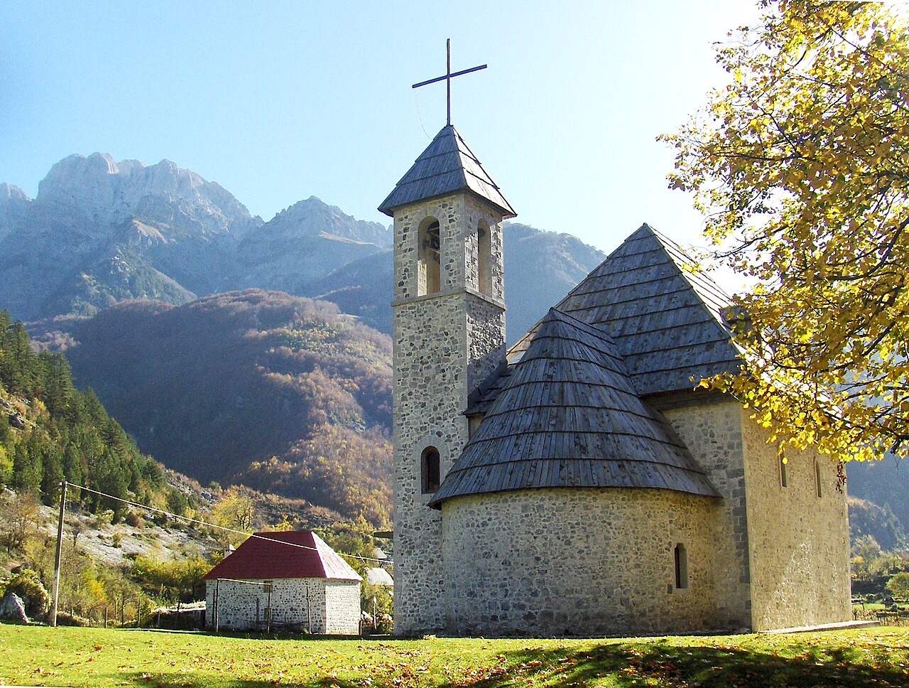
Theth is a village deep in the northern mountains. It has a small stone church, a waterfall, and a tower where men used to hide during blood feuds. A famous walking path crosses the mountains from here to Valbona.
Theth is a village deep in the northern mountains. It has a small stone church, a waterfall, and a tower where men used to hide during blood feuds. A famous walking path crosses the mountains from here to Valbona.
Medie trentennali per Theth, calcolate per questo Atlante dai dati giornalieri della rianalisi ERA5 nel periodo 1994–2023. Si tratta di medie di lungo periodo, non di previsioni: qualsiasi anno singolo può differire in misura significativa.
Il mese più caldo è August (massima giornaliera media 26°C), il più freddo è January (minima giornaliera media -2°C), e il più piovoso è December (272 mm). La precipitazione annua totale è in media 1,946 mm.
| Mese | Massima | Minima | Pioggia | Giorni piovosi | Sole/giorno |
|---|---|---|---|---|---|
| January | 5°C | -2°C | 211 mm | 14 | 6.0 h |
| February | 6°C | -1°C | 190 mm | 13 | 7.0 h |
| March | 9°C | 1°C | 184 mm | 13 | 8.6 h |
| April | 13°C | 5°C | 156 mm | 16 | 9.7 h |
| May | 19°C | 10°C | 138 mm | 18 | 11.3 h |
| June | 23°C | 14°C | 92 mm | 16 | 13.0 h |
| July | 26°C | 16°C | 80 mm | 12 | 13.4 h |
| August | 26°C | 17°C | 66 mm | 12 | 12.5 h |
| September | 21°C | 13°C | 141 mm | 12 | 10.0 h |
| October | 17°C | 9°C | 156 mm | 11 | 8.4 h |
| November | 12°C | 5°C | 260 mm | 13 | 6.2 h |
| December | 6°C | 0°C | 272 mm | 14 | 5.6 h |
Fonte: ERA5 reanalysis via Open-Meteo, 1994–2023 · «Massima» e «Minima» sono la temperatura dell'aria massima e minima giornaliera media. «Giorni piovosi» conta i giorni con almeno 1 mm di precipitazione. Scarica come JSON
Si tratta di relazioni reali all'interno dell'Atlante — luoghi vicini a questo e argomenti a cui appartiene genuinamente. Niente qui è una raccomandazione generica.
The cultural capital of the north: a lake, a fortress, a bicycle city and a Catholic heartland.
A broad U-shaped glacial valley of white gravel and beech forest under the Alps' highest peaks.
The glacial valley park at the heart of the Albanian Alps, merged into a wider protected complex in 2022.
A tributary of the Drin above Koman, reached by boat and often called Albania's Thailand.
At 2,694 m the highest peak entirely inside the Dinaric Alps, deep in the Albanian Alps.
The limestone wall of the far north — locally the Accursed Mountains — shared with Montenegro and Kosovo.
A wide white riverbed under 2,500 m peaks; the eastern end of the Theth trek.
The seat of Malësi e Madhe, at the foot of the Alps near the Montenegrin border.
The limestone wall of the far north — locally the Accursed Mountains — shared with Montenegro and Kosovo.
The Alps, the Koman ferry and the Shkodër lake country — the part of Albania least like the coast.
Albania's best-known walk: roughly 17 km over a 1,795 m pass, six to eight hours, June to October.
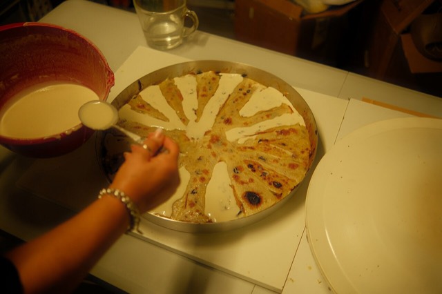
Concentric crepe layers built up one at a time under a hot metal lid — a northern highland dish that takes hours.
A body of customary law that governed the northern highlands for centuries — and the part of it that everyone has…
A body of customary law, best known in the Lekë Dukagjini recension, that governed the northern highlands for…
The two ends of the same walk, and two quite different valleys.
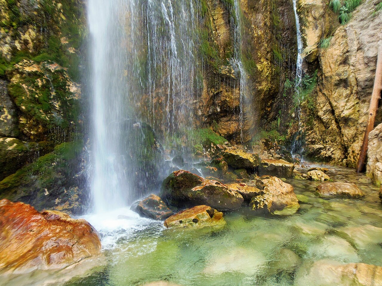
A 25–30 m fall in the Theth valley, and a declared natural monument.
Hai notato un errore in questa pagina? Le correzioni sono benvenute e vengono verificate rispetto al record di fonte. Indica cosa è sbagliato e, se possibile, da dove proviene il dato corretto.



![Title: A chief of Thethi, Tribe of Shale [i.e. Shala], Albania Abstract/medium: 1 photographic print. (Theth)](/static/img/thumbs/theth-4.jpg)