Stadt
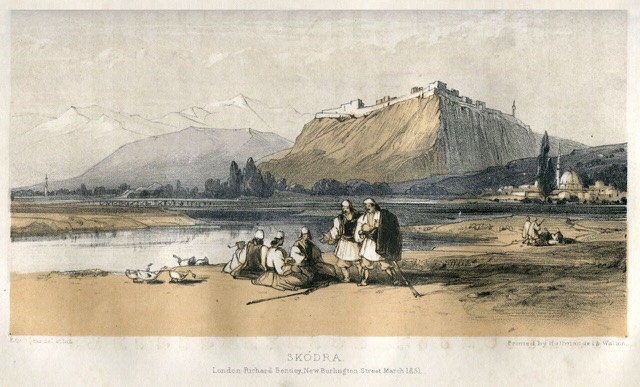
Shkodër
The cultural capital of the north: a lake, a fortress, a bicycle city and a Catholic heartland.
🧭 Geführte Ansicht
Neu in Albanien? Jede Seite beginnt mit einer einfachen Erklärung, die auch ein Zehnjähriger verstehen würde – bevor es ins Detail geht.
⚡ Expertenansicht
Sie kennen die Grundlagen bereits. Direkt zur Substanz, ohne die vereinfachten Erklärungen. Dies ist die Standardeinstellung.
![Title: A chief of Thethi, Tribe of Shale [i.e. Shala], Albania Abstract/medium: 1 photographic print.](/static/img/photos/theth-4.jpg)
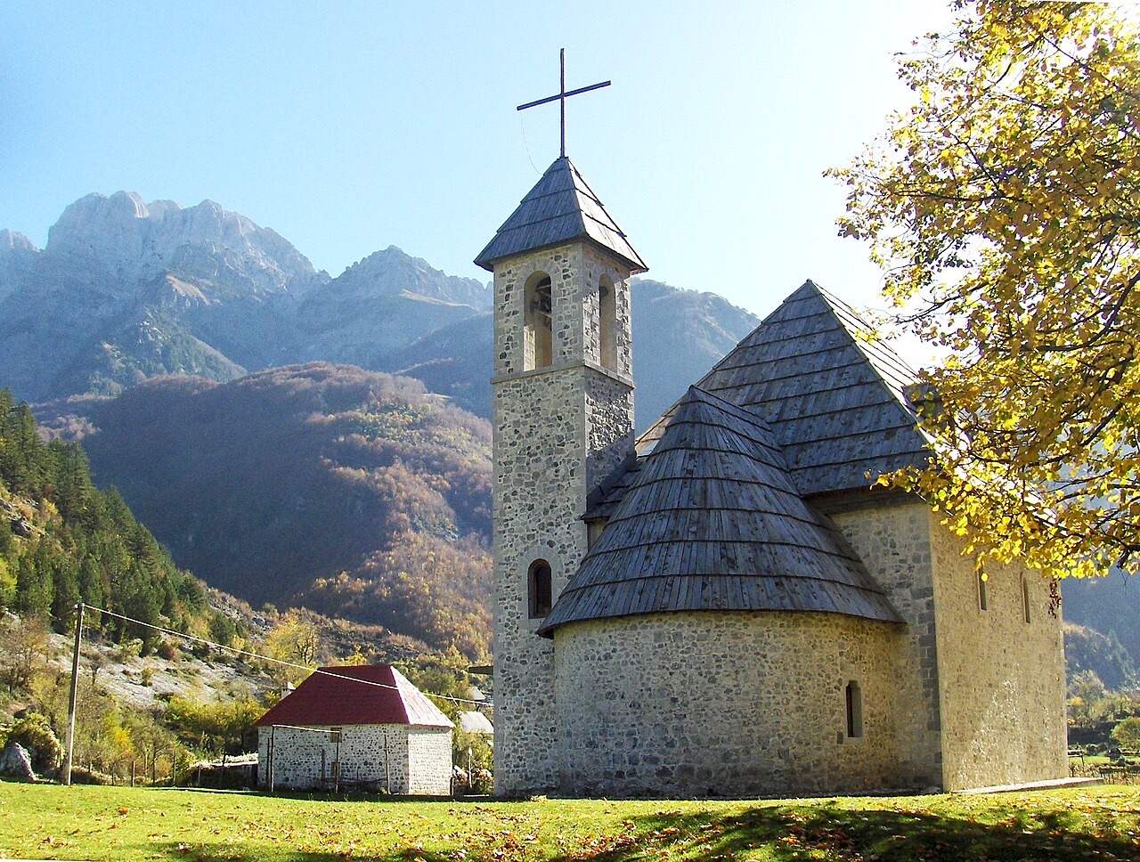
Theth is a village deep in the northern mountains. It has a small stone church, a waterfall, and a tower where men used to hide during blood feuds. A famous walking path crosses the mountains from here to Valbona.
Theth is a village deep in the northern mountains. It has a small stone church, a waterfall, and a tower where men used to hide during blood feuds. A famous walking path crosses the mountains from here to Valbona.
Dreißigjährige Normalwerte für Theth, für diesen Atlas aus täglichen ERA5-Reanalysedaten über 1994–2023 berechnet. Es handelt sich um langjährige Mittelwerte, keine Prognose: Einzelne Jahre können erheblich abweichen.
Der wärmste Monat ist August (mittleres tägliches Maximum 26°C), der kälteste ist January (mittleres tägliches Minimum -2°C), und der regenreichste ist December (272 mm). Der mittlere jährliche Gesamtniederschlag beträgt 1,946 mm.
| Monat | Maximum | Minimum | Niederschlag | Regentage | Sonne/Tag |
|---|---|---|---|---|---|
| January | 5°C | -2°C | 211 mm | 14 | 6.0 h |
| February | 6°C | -1°C | 190 mm | 13 | 7.0 h |
| March | 9°C | 1°C | 184 mm | 13 | 8.6 h |
| April | 13°C | 5°C | 156 mm | 16 | 9.7 h |
| May | 19°C | 10°C | 138 mm | 18 | 11.3 h |
| June | 23°C | 14°C | 92 mm | 16 | 13.0 h |
| July | 26°C | 16°C | 80 mm | 12 | 13.4 h |
| August | 26°C | 17°C | 66 mm | 12 | 12.5 h |
| September | 21°C | 13°C | 141 mm | 12 | 10.0 h |
| October | 17°C | 9°C | 156 mm | 11 | 8.4 h |
| November | 12°C | 5°C | 260 mm | 13 | 6.2 h |
| December | 6°C | 0°C | 272 mm | 14 | 5.6 h |
Quelle: ERA5 reanalysis via Open-Meteo, 1994–2023 · „Maximum" und „Minimum" sind das mittlere tägliche Temperaturmaximum bzw. -minimum. „Regentage" zählt Tage mit mindestens 1 mm Niederschlag. Als JSON abrufen
Dies sind echte Verknüpfungen im Atlas – Orte in der Nähe dieses Eintrags und Themen, mit denen er tatsächlich zusammenhängt. Nichts davon ist eine generische Empfehlung.
The cultural capital of the north: a lake, a fortress, a bicycle city and a Catholic heartland.
A broad U-shaped glacial valley of white gravel and beech forest under the Alps' highest peaks.
The glacial valley park at the heart of the Albanian Alps, merged into a wider protected complex in 2022.
A tributary of the Drin above Koman, reached by boat and often called Albania's Thailand.
At 2,694 m the highest peak entirely inside the Dinaric Alps, deep in the Albanian Alps.
The limestone wall of the far north — locally the Accursed Mountains — shared with Montenegro and Kosovo.
A wide white riverbed under 2,500 m peaks; the eastern end of the Theth trek.
The seat of Malësi e Madhe, at the foot of the Alps near the Montenegrin border.
The limestone wall of the far north — locally the Accursed Mountains — shared with Montenegro and Kosovo.
The Alps, the Koman ferry and the Shkodër lake country — the part of Albania least like the coast.
Albania's best-known walk: roughly 17 km over a 1,795 m pass, six to eight hours, June to October.
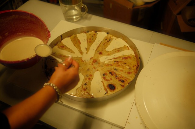
Concentric crepe layers built up one at a time under a hot metal lid — a northern highland dish that takes hours.
A body of customary law that governed the northern highlands for centuries — and the part of it that everyone has…
A body of customary law, best known in the Lekë Dukagjini recension, that governed the northern highlands for…
The two ends of the same walk, and two quite different valleys.
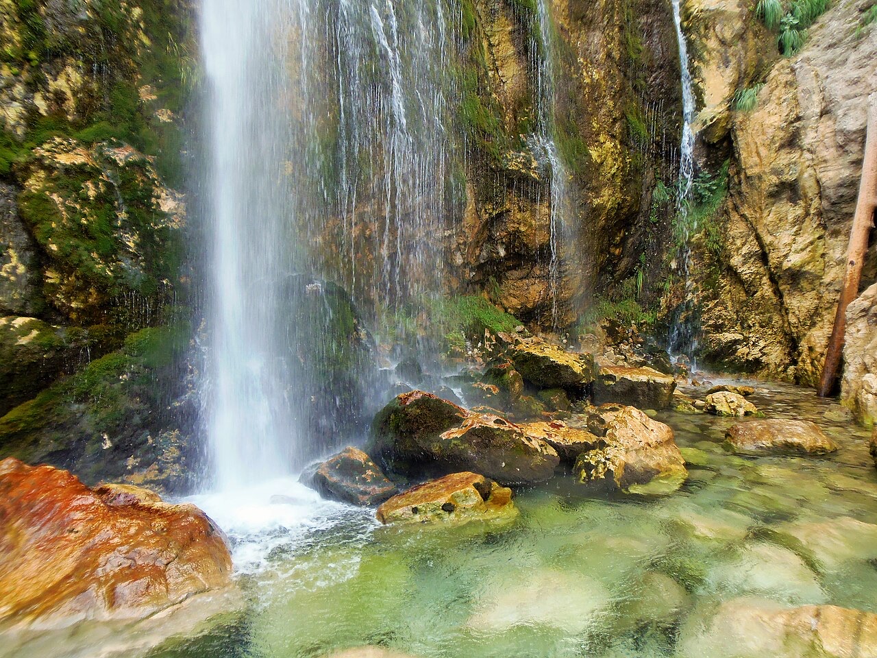
A 25–30 m fall in the Theth valley, and a declared natural monument.
Etwas falsch auf dieser Seite? Korrekturen sind willkommen und werden gegen den Quelldatensatz geprüft. Bitte mitteilen, was falsch ist und, wenn möglich, woher die richtige Angabe stammt.



![Title: A chief of Thethi, Tribe of Shale [i.e. Shala], Albania Abstract/medium: 1 photographic print. (Theth)](/static/img/thumbs/theth-4.jpg)