Airport · Kukës
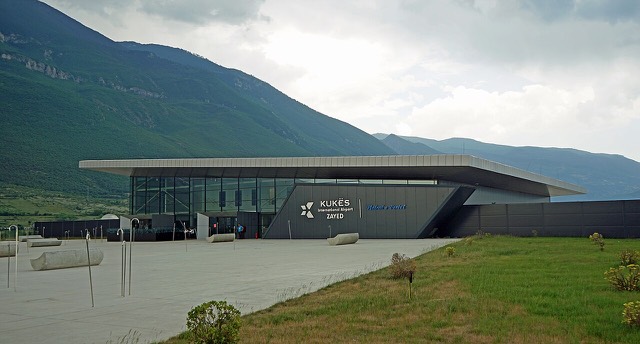
Kukës International Airport
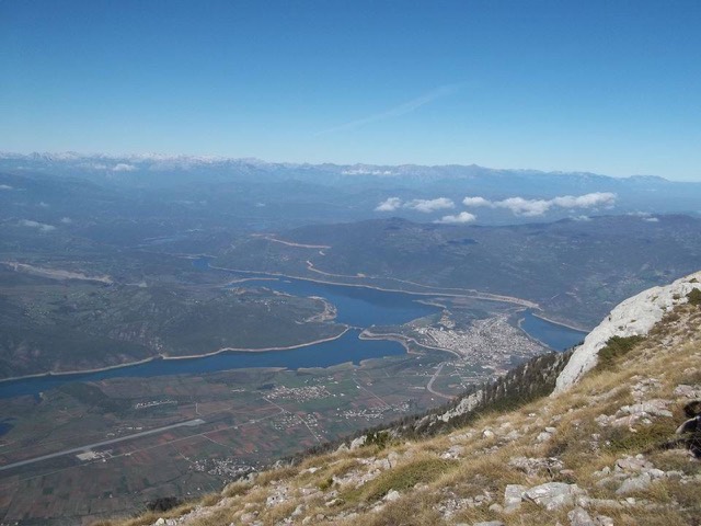
A small northern airport that opened to commercial flights in 2021, mainly serving the diaspora.
Every county, coast and century
Guided view
New to Albania? Every page opens with a plain-language explanation you could read to a ten-year-old, before the detail begins.
Expert view
You already know the basics. Straight to the substance, with the simple explanations hidden. This is the default.
Town
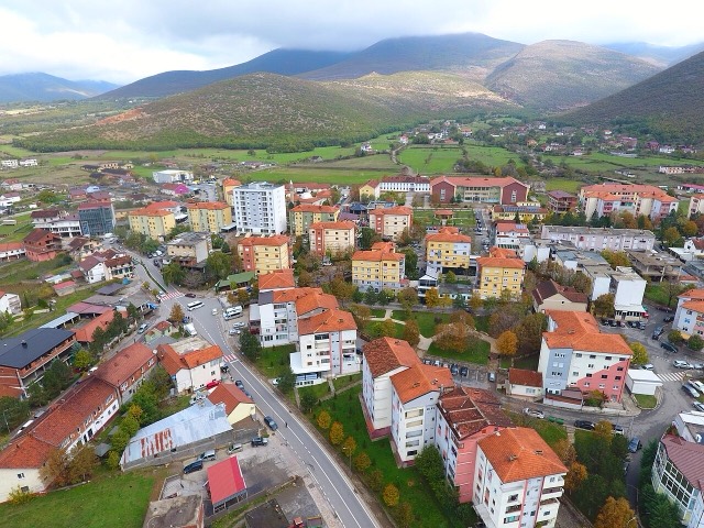
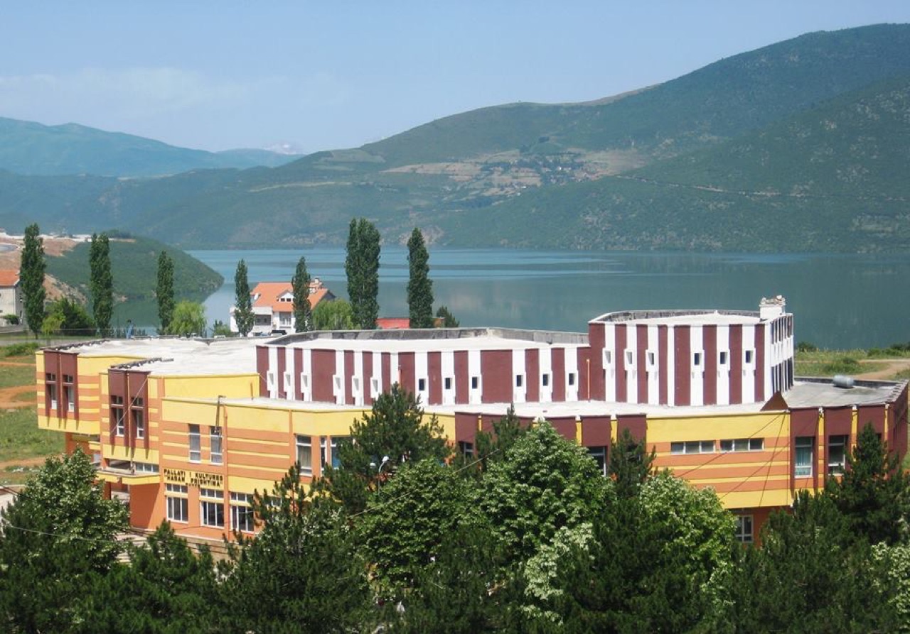
A town rebuilt above a reservoir in the 1970s, and the northern end of the Nation's Road.
Save
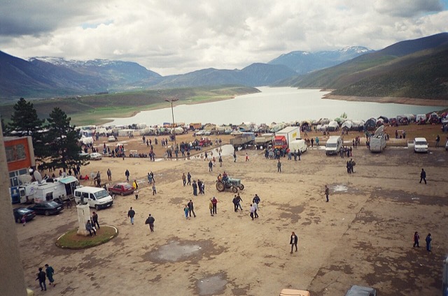
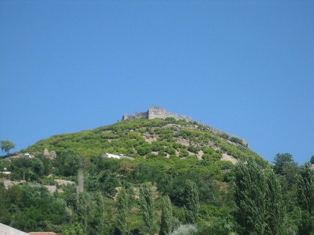
Kukës is a mountain town in the north-east. The old town was flooded when a dam was built, so a new one was built higher up beside the new lake. During the Kosovo war in 1999 the town sheltered many thousands of refugees.
Kukës is a mountain town in the north-east. The old town was flooded when a dam was built, so a new one was built higher up beside the new lake. During the Kosovo war in 1999 the town sheltered many thousands of refugees.
Airport · Kukës
A small northern airport that opened to commercial flights in 2021, mainly serving the diaspora.
Protected area · Kukës
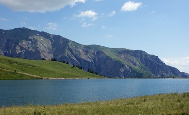
A broad U-shaped glacial valley of white gravel and beech forest under the Alps' highest peaks.
Energy site · Kukës
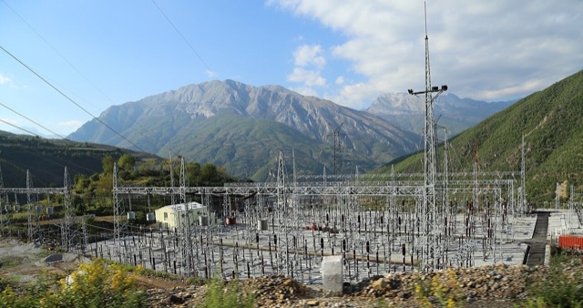
The uppermost and largest of the Drin dams, creating a reservoir shared with Kosovo.
Road · Kukës
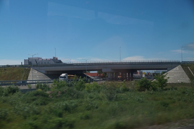
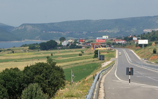
The Durrës–Kukës–Morina motorway, including the 5.6 km Kalimash tunnel, linking Albania to Kosovo.
Town · Kukës
The road head for the Valbona valley, named after a guerrilla leader of the 1920s.
Village · Kukës
A wide white riverbed under 2,500 m peaks; the eastern end of the Theth trek.
Town · Kukës
A town rebuilt above a reservoir in the 1970s, and the northern end of the Nation's Road.
County
Albania's mountain interior on the North Macedonian border, containing Mount Korab.
City · Shkodër
The cultural capital of the north: a lake, a fortress, a bicycle city and a Catholic heartland.
Airport · Kukës
A small northern airport that opened to commercial flights in 2021, mainly serving the diaspora.
Energy site · Kukës
The uppermost and largest of the Drin dams, creating a reservoir shared with Kosovo.
Town · Lezhë
Where the Albanian princes swore their 1444 league, and where Skanderbeg is buried.
Mountain range · Shkodër
The limestone wall of the far north — locally the Accursed Mountains — shared with Montenegro and Kosovo.
Road · Kukës
The Durrës–Kukës–Morina motorway, including the 5.6 km Kalimash tunnel, linking Albania to Kosovo.
Something wrong on this page? Corrections are welcome and are checked against the source record. Tell us what is wrong and, if you can, where the right figure comes from.