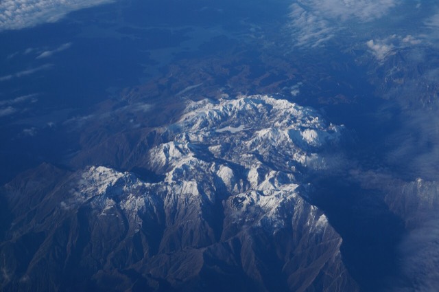
Lake
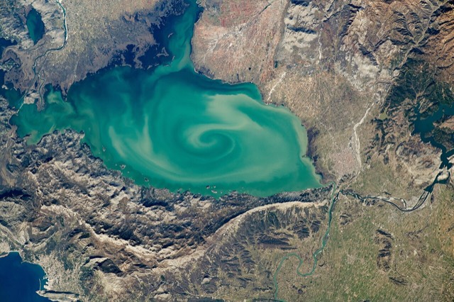
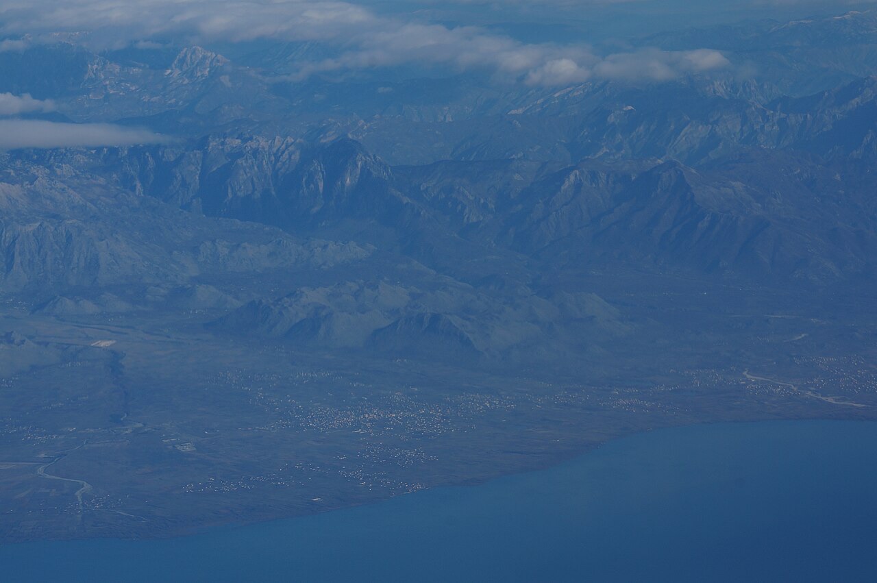
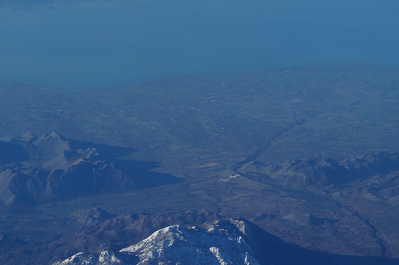
Lake Shkodër
The largest lake in southern Europe, shared with Montenegro and a major bird wintering ground.
🧭 Guided view
New to Albania? Every page opens with a plain-language explanation you could read to a ten-year-old, before the detail begins.
⚡ Expert view
You already know the basics. Straight to the substance, with the simple explanations hidden. This is the default.
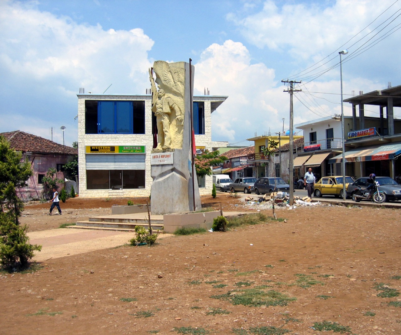
Koplik is a town at the bottom of the northern mountains, near Montenegro.
Koplik is a town at the bottom of the northern mountains, near Montenegro.
Thirty-year normals for Koplik, computed for this Atlas from daily ERA5 reanalysis over 1994–2023. These are long-run averages, not a forecast: any individual year can differ substantially.
The warmest month is August (mean daily high 30°C), the coldest is January (mean daily low 2°C), and the wettest is November (266 mm). Total annual rainfall averages 1,890 mm.
| Month | High | Low | Rain | Wet days | Sun/day |
|---|---|---|---|---|---|
| January | 9°C | 2°C | 199 mm | 13 | 6.3 h |
| February | 10°C | 3°C | 186 mm | 12 | 7.2 h |
| March | 13°C | 6°C | 180 mm | 12 | 8.9 h |
| April | 17°C | 10°C | 161 mm | 14 | 10.0 h |
| May | 22°C | 15°C | 130 mm | 13 | 11.7 h |
| June | 26°C | 19°C | 70 mm | 10 | 13.3 h |
| July | 29°C | 22°C | 44 mm | 7 | 13.6 h |
| August | 30°C | 22°C | 50 mm | 7 | 12.7 h |
| September | 24°C | 18°C | 167 mm | 9 | 10.3 h |
| October | 20°C | 13°C | 177 mm | 10 | 8.6 h |
| November | 14°C | 9°C | 266 mm | 13 | 6.4 h |
| December | 10°C | 4°C | 260 mm | 14 | 5.8 h |
Source: ERA5 reanalysis via Open-Meteo, 1994–2023 · “High” and “Low” are mean daily maximum and minimum air temperature. “Wet days” counts days with at least 1 mm of precipitation. Get this as JSON
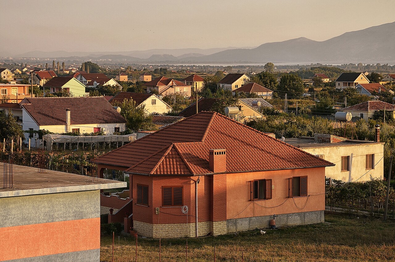
These are real relationships in the Atlas — places that are near this one, and subjects it genuinely belongs with. Nothing here is a generic recommendation.
The largest lake in southern Europe, shared with Montenegro and a major bird wintering ground.
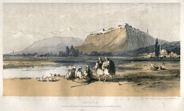
The cultural capital of the north: a lake, a fortress, a bicycle city and a Catholic heartland.
A glacial valley village in the Albanian Alps: a lock-in tower, a waterfall, and one end of the country's best-known…
The limestone wall of the far north — locally the Accursed Mountains — shared with Montenegro and Kosovo.
Something wrong on this page? Corrections are welcome and are checked against the source record. Tell us what is wrong and, if you can, where the right figure comes from.
![Title: A chief of Thethi, Tribe of Shale [i.e. Shala], Albania Abstract/medium: 1 photographic print.](/static/img/thumbs/theth-4.jpg)