Historische Stätte · Tiranë
Albania's Bunkers
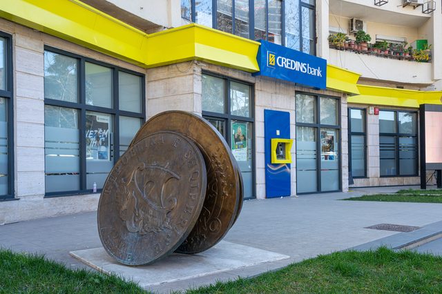
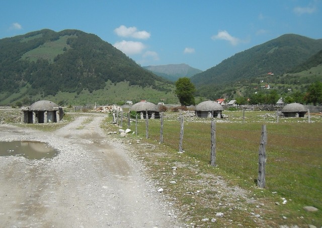
Roughly 170,000 concrete pillboxes built under Enver Hoxha — the most visible physical legacy of the communist state.
Jeder Kreis, jede Küste, jedes Jahrhundert
Geführte Ansicht
Neu in Albanien? Jede Seite beginnt mit einer einfachen Erklärung, die auch ein Zehnjähriger verstehen würde – bevor es ins Detail geht.
Expertenansicht
Sie kennen die Grundlagen bereits. Direkt zur Substanz, ohne die vereinfachten Erklärungen. Dies ist die Standardeinstellung.
Landkreis
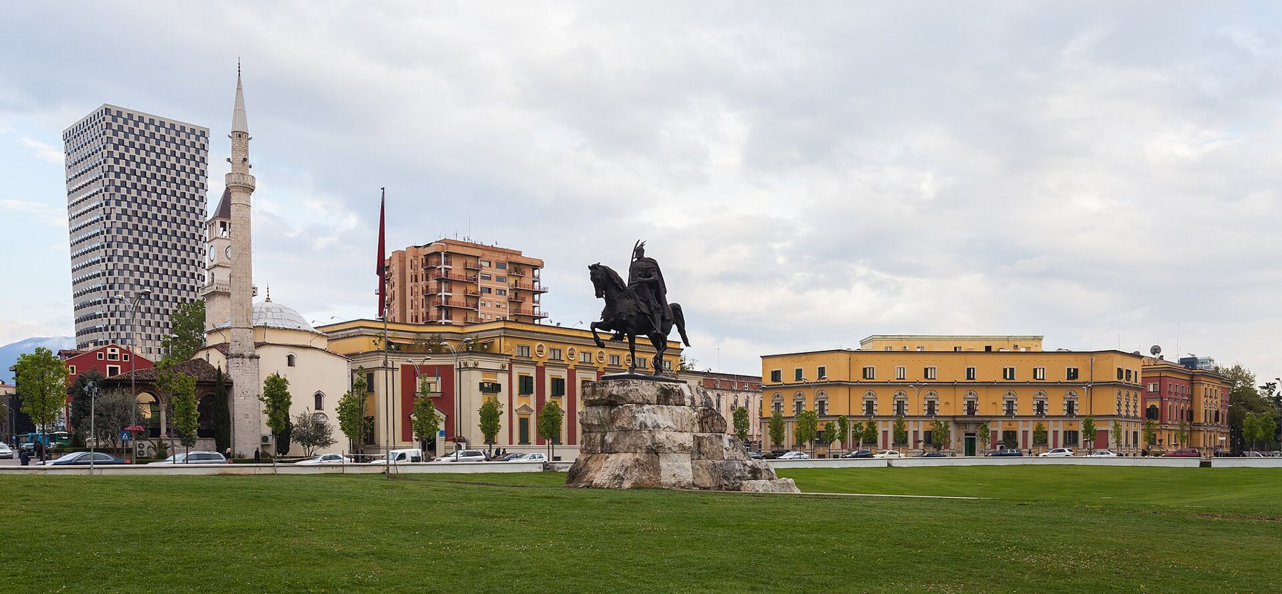
The capital county: roughly a third of the country's people, its jobs and its universities.
Speichern
Tiranë County contains the capital city, Tirana. More people live here than in any other county — around a third of everyone in Albania. Most big companies, universities and hospitals are here, and Mount Dajti rises right behind the city.
Tiranë County contains the capital city, Tirana. More people live here than in any other county — around a third of everyone in Albania. Most big companies, universities and hospitals are here, and Mount Dajti rises right behind the city.
Tirana County (Albanian: Qarku Tiranë) occupies 1,652 km² (638 sq mi) in the Central Region of Albania, making it the tenth-largest of Albania's twelve counties by area. It lies between latitudes 41° and 18° N and longitudes 19° and 56° E. Its borders run along the Adriatic Sea to the west and touch the counties of Durrës to the northwest, Dibër to the northeast, Elbasan to the east, and Fier to the southwest.
The county is divided into five municipalities—Tirana, Kamëz, Kavajë, Rrogozhinë, and Vorë—which collectively incorporate twenty-nine administrative units. Its capital, Tirana, is also the largest city in Albania by both area and population, and is classified as a gamma world city. Despite being the tenth-largest county by area, Tirana County is the most populous of all twelve, recording approximately 758,513 residents in the 2023 Census, equal to 31.6% of Albania's total population.
The county extends from the flat shores of the Adriatic Sea in the west to the high, rugged Skanderbeg Mountains in the east. The western portion contains the Myzeqe Plain, part of the broader Albanian Adriatic Sea Coast lowlands. The Skanderbeg Mountains in the east form a natural divide between the Western Lowlands and the Central Mountain Range.
The highest point within the county is Mali me Gropa at 1,828 m (5,997 ft) above Adriatic sea level, while the lowest point is the Adriatic coastline itself at 0 m. Three rivers traverse the county: the Erzen River, the Ishëm River, and the Shkumbin River, the last of which runs along the border with Elbasan County.
The climate of Tirana County is classified as Mediterranean, shaped by its proximity to the Adriatic Sea and the moderating effect of the Skanderbeg Mountains. The county experiences four distinct seasons: summers are generally warm and dry, while winters are relatively cool and mild, rarely reaching extreme cold in the lowland areas.
Temperature extremes across the county span a very wide range. The highest recorded temperature, 41.5 °C (106.7 °F), was measured in the city of Tirana. The lowest recorded temperature, −34.7 °C (−30.5 °F), was recorded in the village of Bizë, located in the mountainous eastern portion of the county.
The territory of present-day Tirana County has been continuously inhabited since the Paleolithic, with occupation estimated at between 10,000 and 30,000 years ago. Evidence for this early habitation comes from stone tools excavated near the quarry at Mount Dajt and from within the Cave of Pëllumbas. Various archaeologists have argued that Tirana and its suburbs contain numerous Illyrian toponyms, and that the area is among the earliest continuously inhabited regions in Albania.
Despite this long habitation, the area held no particular strategic or political importance in Illyrian and classical antiquity. In 1510, the Albanian Catholic priest and scholar Marin Barleti, writing a biography of the national hero Skanderbeg, referred to the site only as a small village. The city of Tirana was formally established in 1614 during the period of Ottoman rule.
The oldest discovery in downtown Tirana is a Roman house, subsequently converted into an aisleless church with a mosaic floor, dated to the 3rd century AD. Additional medieval remains were found near a temple at Shengjin Fountain in the eastern suburbs of the modern city.
A castle, identified in historical records as possibly called Tirkan or Theranda, stood along what is now Murat Toptani Street. Its construction is attributed to the Byzantine Emperor Justinian in 520 AD. The structure was subsequently restored in the 18th century by Ahmed Pasha Toptani.
The 2023 Census recorded 758,513 residents in Tirana County, of whom 742,497 were born in Albania and 16,016 were born abroad. Of the Albanian-born residents, the largest group—392,803 people—were born in Tirana Prefecture itself. Significant numbers originated from Dibër (63,692), Kukës (48,466), Korçë (38,816), Fier (33,061), Berat (32,175), and Elbasan (32,052). Smaller communities came from Gjirokastër (27,311), Shkodër (23,178), Durrës (20,317), Vlorë (16,589), and Lezhë (14,037).
Population growth in Tirana County has been notably high since the late twentieth century, driven in large part by internal migration that accelerated following the fall of communism. The most densely settled areas are in the flat western half of the county and in the corridor around the city of Tirana itself. The mountainous eastern half records the lowest population densities. The county's population constitutes 31.6% of Albania's national total, a concentration reflecting both the political and economic primacy of the capital.
According to the 2023 Census, the population of Tirana County was 93.87% Albanian, 0.70% Romani and Balkan Egyptian, 0.19% Bulgarian, 0.19% Greek, and 0.06% Aromanian, with the remainder belonging to another ethnic group, mixed heritage, or providing no answer.
The same census recorded that 63.9% of residents identified with a religion. Sunni Muslims formed the largest single religious group but their share declined markedly between the 2011 and 2023 censuses, from 62.3% to 48.7%. Bektashi Muslims increased from 2.7% to 4.9% over the same period. Catholic Christians fell slightly from 5.3% to 4.7%, while Orthodox Christians remained nearly stable at 5.0% (up from 5.1%). Evangelical Christians rose from 0.2% to 0.6%. The non-religious population grew substantially: those identifying as believers without a specific religion or denomination increased from 3.9% to 12.9%, and declared atheists rose from 2.7% to 3.7%.
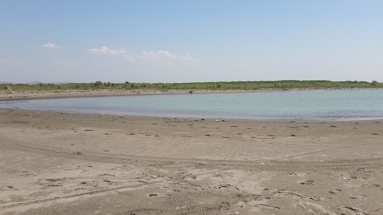
Two of Albania's fourteen national parks are situated within Tirana County. Dajti Mountain National Park lies in the centre of the county, while Divjakë-Karavasta National Park is in the southwest. Both are managed by the National Agency of Protected Areas under the Ministry of Tourism and Environment. A third designated protected area, the Mali me Gropa-Bizë-Martanesh Protected Landscape, covers part of the mountainous eastern portion of the county.
These protected areas also form the primary basis for tourism within the county. County tourism, according to the article, draws on natural environments alongside cultural and religious sites, and the government of Albania maintains these protected zones as a component of that offer.
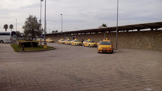
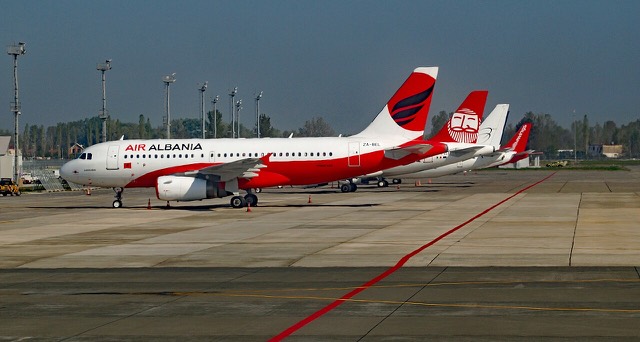
Tirana County is served by Nënë Tereza International Airport, located in the village of Rinas. The airport is named after the Albanian-born Roman Catholic nun and missionary Mother Teresa and offers connections to destinations across Europe, Africa, and Asia. In 2019 the airport handled more than 3.3 million passengers and serves as the principal hub for Air Albania, the national flag carrier.
Road transport in the county is administered by the Ministry of Infrastructure and Energy, with the Albanian Road Authority (ARRSH) responsible for land routes. The principal west–east corridor is Rruga Shtetërore 2 (SH2), linking Tirana with Durrës. The north–south corridor, Rruga Shtetërore 3 (SH3), connects Tirana with Elbasan and is being upgraded to become Autostrada 3 (A3). Rruga Shtetërore 4 (SH4) passes through Kavajë linking Durrës with Greece. A further planned connection, the Arbër Highway, will—upon completion—link the county with Dibër County and North Macedonia, though the article does not specify a completion date.
Der wärmste Monat ist August (mittleres tägliches Maximum 30°C), der kälteste ist January (mittleres tägliches Minimum 1°C), und der regenreichste ist December (140 mm). Der mittlere jährliche Gesamtniederschlag beträgt 1,145 mm.
| Monat | Maximum | Minimum | Niederschlag | Regentage | Sonne/Tag |
|---|---|---|---|---|---|
| January | 10°C | 1°C | 121 mm | 11 | 7.2 h |
| February | 11°C | 2°C | 105 mm | 11 | 8.2 h |
| March | 14°C | 4°C | 115 mm | 11 | 9.7 h |
| April | 17°C | 7°C | 102 mm | 13 | 10.7 h |
| May | 22°C | 12°C | 86 mm | 11 | 12.1 h |
| June | 26°C | 16°C | 52 mm | 7 | 13.6 h |
| July | 29°C | 18°C | 32 mm | 5 | 13.8 h |
| August | 30°C | 18°C | 37 mm | 6 | 12.8 h |
| September | 25°C | 15°C | 100 mm | 10 | 10.7 h |
| October | 20°C | 11°C | 116 mm | 9 | 9.2 h |
| November | 16°C | 7°C | 139 mm | 11 | 7.4 h |
| December | 11°C | 3°C | 140 mm | 12 | 6.7 h |
Quelle: ERA5 reanalysis via Open-Meteo, 1994–2023 · „Maximum" und „Minimum" sind das mittlere tägliche Temperaturmaximum bzw. -minimum. „Regentage" zählt Tage mit mindestens 1 mm Niederschlag.
Historische Stätte · Tiranë
Roughly 170,000 concrete pillboxes built under Enver Hoxha — the most visible physical legacy of the communist state.
Historische Stätte · Tiranë
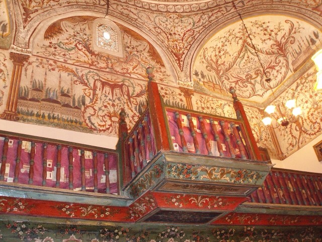
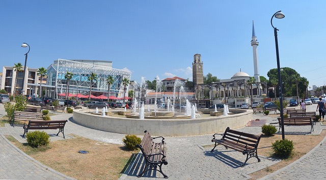
The small mosque on Skanderbeg Square whose frescoes of trees and waterfalls are unusual in Islamic art.
Historische Stätte · Tiranë
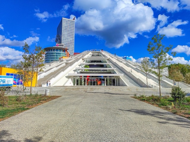
Built as Enver Hoxha's mausoleum-museum, later a nightclub and NATO base, reopened in 2023 as a youth technology centre.
Stadt · Tiranë
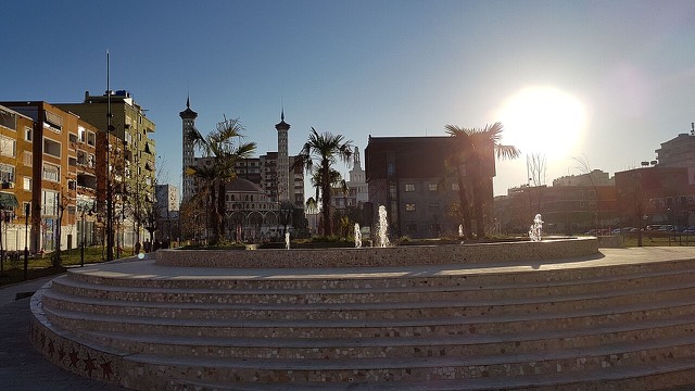
The capital: a fast-changing city of painted blocks, Ottoman survivals and new towers, under Mount Dajti.
Historische Stätte · Tiranë
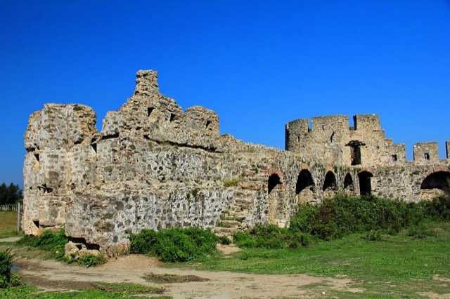
A rare rectangular lowland fortress built by Venice to guard a river port on the Shkumbin.
Historische Stätte · Tiranë
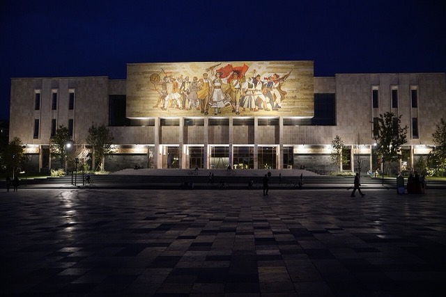
Albania's principal museum, under the Skanderbeg Square mosaic mural known as 'The Albanians'.
Flughafen · Tiranë
Albania's principal airport, 17 km north-west of Tirana — for years the country's only functioning civil airport.
See · Tiranë
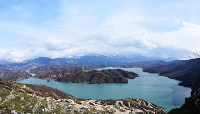
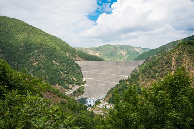
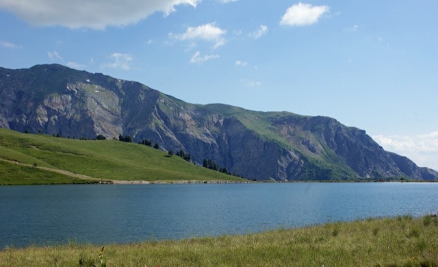
Tirana's drinking-water reservoir, ringed by limestone cliffs half an hour from the capital.
Kleinstadt · Tiranë
A market town behind the Adriatic dunes, near the wide beaches of Golem and Spille.
Kleinstadt · Tiranë
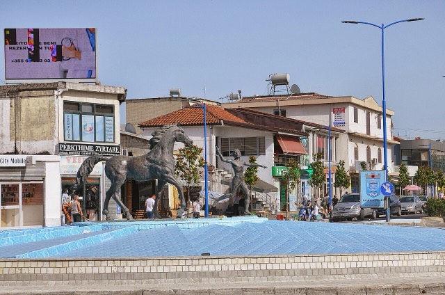
A city on Tirana's northern edge that grew almost entirely from internal migration after 1991.
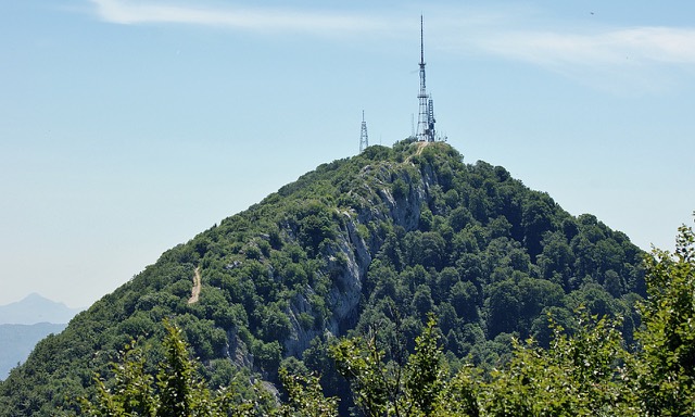
Berg · Tiranë
Tirana's own mountain: 1,613 m, a national park, and a 4.2 km cable car from the city edge.
Historische Stätte · Tiranë
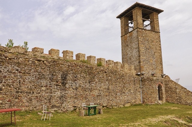
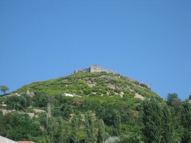
A compact hill castle between Tirana and the airport, with a view over the whole plain.
The state generator that runs the Drin cascade and supplies most Albanian electricity.
The national flag carrier, launched in 2018 with Turkish Airlines as a founding shareholder.
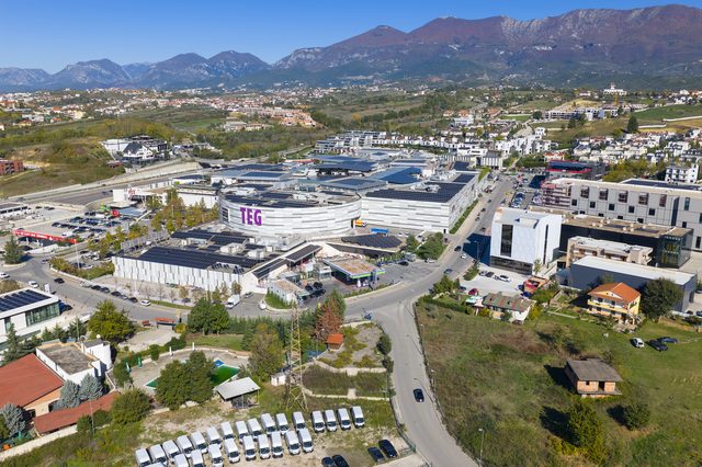
One of the largest private groups in the western Balkans, spanning shopping centres, retail and mining.
Albania's first mobile operator, formerly AMC and then Telekom Albania, now merged with Albtelecom.
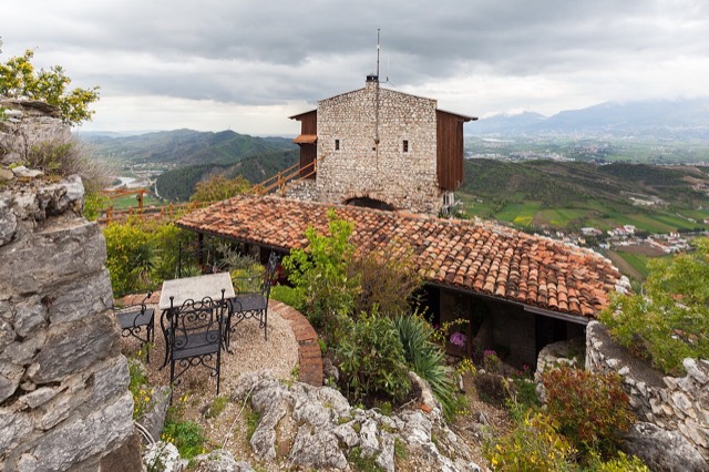
A small triangular castle on a wooded crag above the Erzen, half an hour from Tirana.
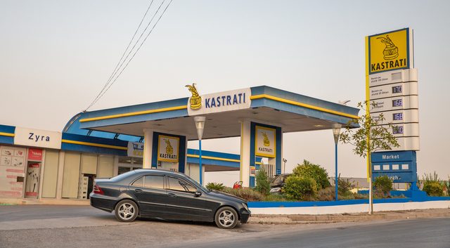
A fuel and logistics group that also holds an interest in Air Albania and in airport operations.
One of Albania's largest commercial banks, part of Turkey's Çalık Holding.
Albania's oldest and largest university, formed from the merger of the country's first higher institutes.
A five-storey anti-nuclear bunker built for the communist leadership, opened to the public in 2014.
The former state telecoms monopoly, merged with One Albania in 2023.
The former headquarters of the Sigurimi's technical surveillance branch, kept as it was found.
The country's other main mobile network, operating since 2001.
A large domestically founded commercial bank.
A road and rail junction between Tirana, Durrës and the airport.
A junction town on the Shkumbin near the Bashtovë fortress and the Spille beaches.
A quieter sand beach south of Kavajë, backed by farmland rather than hotels.
The busiest stretch of the central sandy coast, immediately south of Durrës.
The continuation of the Durrës sand south past Qerret and Mali i Robit.
The transmission system operator and the distribution company that together move Albania's power.
Albania's principal engineering and applied-science university, formerly the engineering faculties of the University of Tirana.
The national centre for agronomy, veterinary medicine, forestry and food science.
Landkreis
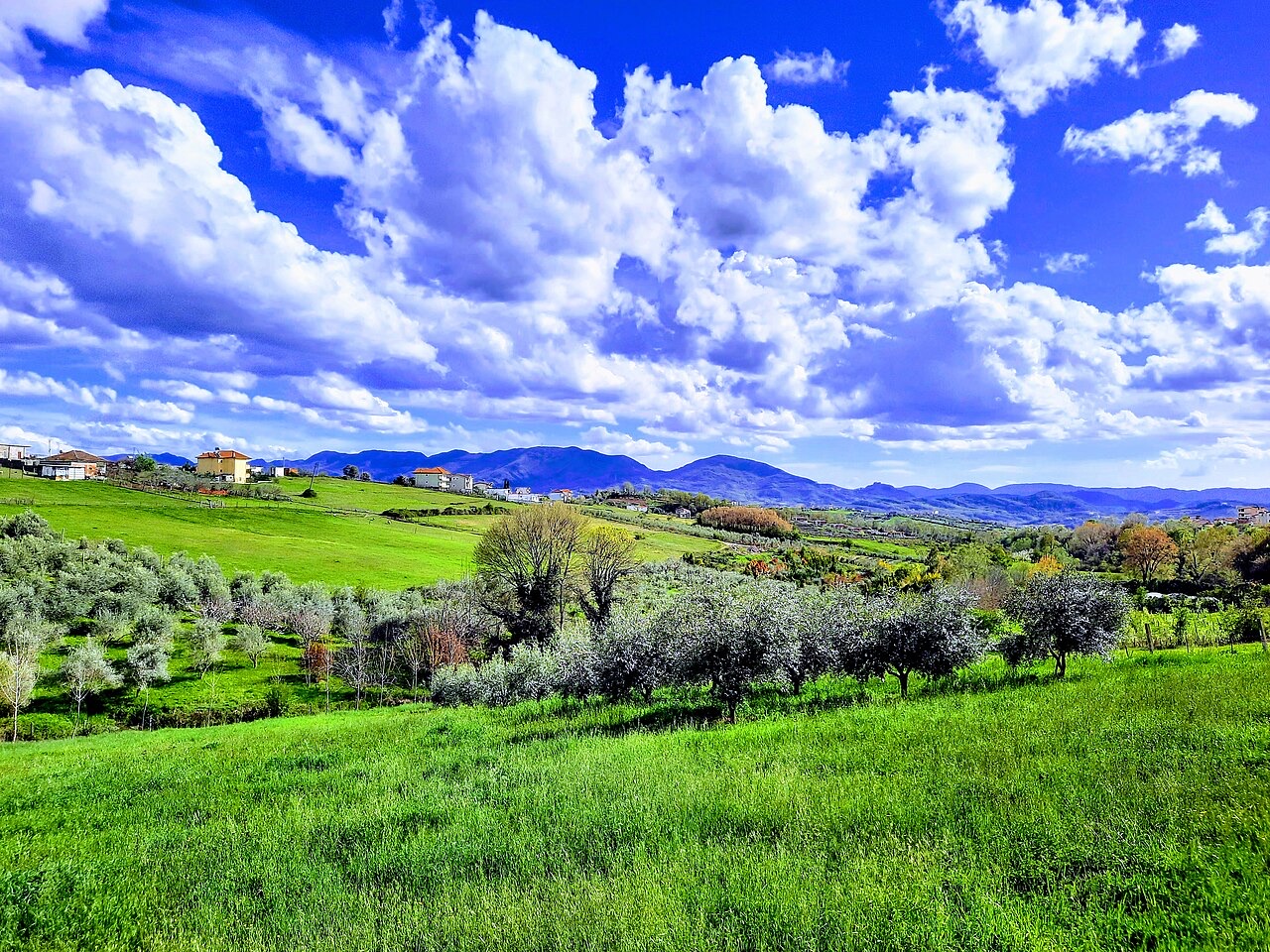
Albania's mountain interior on the North Macedonian border, containing Mount Korab.
Stadt · Durrës
Albania's principal port and its oldest continuously inhabited city, founded as Epidamnos in 627 BC.
Stadt · Elbasan
A central industrial city inside an Ottoman fortress wall, on the old Via Egnatia.
Kleinstadt · Lezhë
Where the Albanian princes swore their 1444 league, and where Skanderbeg is buried.
Etwas falsch auf dieser Seite? Korrekturen sind willkommen und werden gegen den Quelldatensatz geprüft. Bitte mitteilen, was falsch ist und, wenn möglich, woher die richtige Angabe stammt.