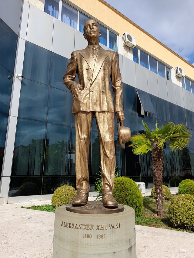
City · Tiranë
Tirana
The capital: a fast-changing city of painted blocks, Ottoman survivals and new towers, under Mount Dajti.
Every county, coast and century
Guided view
New to Albania? Every page opens with a plain-language explanation you could read to a ten-year-old, before the detail begins.
Expert view
You already know the basics. Straight to the substance, with the simple explanations hidden. This is the default.
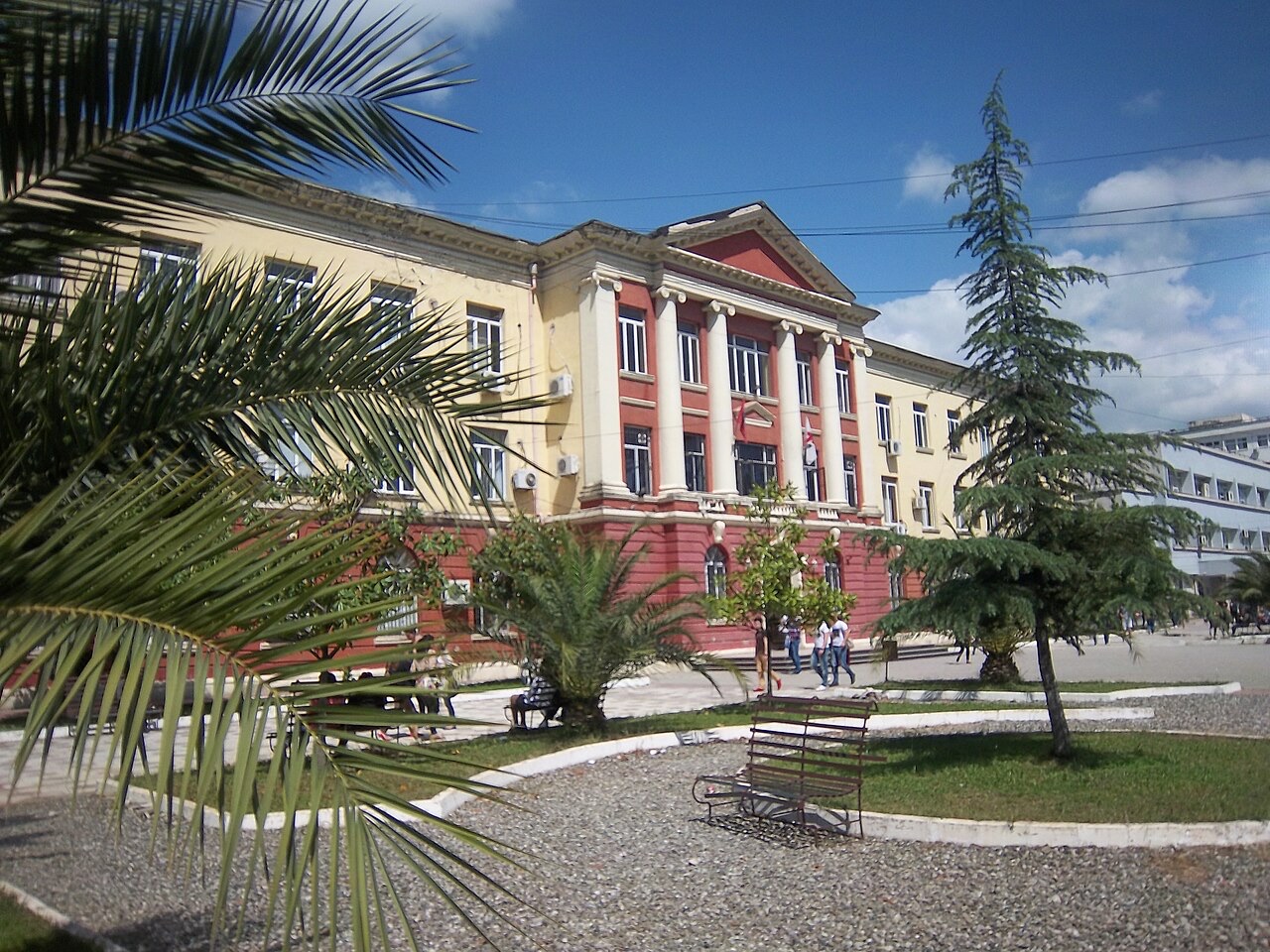
University · Tiranë County
Albania's oldest and largest university, formed from the merger of the country's first higher institutes.
Save
The University of Tirana is the country's biggest university. It opened in 1957 by joining together several smaller colleges, and most Albanian professionals studied there or at one of the universities that split off from it.
The University of Tirana is the country's biggest university. It opened in 1957 by joining together several smaller colleges, and most Albanian professionals studied there or at one of the universities that split off from it.
The warmest month is August (mean daily high 31°C), the coldest is January (mean daily low 2°C), and the wettest is November (141 mm). Total annual rainfall averages 1,150 mm.
| Month | High | Low | Rain | Wet days | Sun/day |
|---|---|---|---|---|---|
| January | 11°C | 2°C | 122 mm | 11 | 7.2 h |
| February | 12°C | 3°C | 105 mm | 11 | 8.2 h |
| March | 15°C | 5°C | 117 mm | 11 | 9.6 h |
| April | 18°C | 8°C | 104 mm | 13 | 10.7 h |
| May | 23°C | 13°C | 86 mm | 11 | 12.1 h |
| June | 27°C | 17°C | 52 mm | 7 | 13.6 h |
| July | 30°C | 19°C | 31 mm | 5 | 13.8 h |
| August | 31°C | 20°C | 36 mm | 6 | 12.9 h |
| September | 26°C | 16°C | 101 mm | 9 | 10.7 h |
| October | 22°C | 12°C | 115 mm | 9 | 9.2 h |
| November | 17°C | 8°C | 141 mm | 11 | 7.4 h |
| December | 12°C | 4°C | 140 mm | 12 | 6.7 h |
Source: ERA5 reanalysis via Open-Meteo, 1994–2023 · “High” and “Low” are mean daily maximum and minimum air temperature. “Wet days” counts days with at least 1 mm of precipitation.
City · Tiranë
The capital: a fast-changing city of painted blocks, Ottoman survivals and new towers, under Mount Dajti.
Guide
A nine-year compulsory base, a public university system centred on Tirana, and a handful of international schools.
Something wrong on this page? Corrections are welcome and are checked against the source record. Tell us what is wrong and, if you can, where the right figure comes from.