历史遗址 · Shkodër
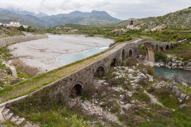
Mesi Bridge
A 108 m, thirteen-arch packhorse bridge over the Kir north-east of Shkodër.
每个县、每段海岸、每个世纪
引导视图
初次了解阿尔巴尼亚?每个页面均以通俗易懂的说明开篇——即便是十岁的孩子也能读懂——随后再展开详细内容。
专业视图
您已掌握基础知识。直接进入正题,简明解释默认隐藏。此为默认模式。
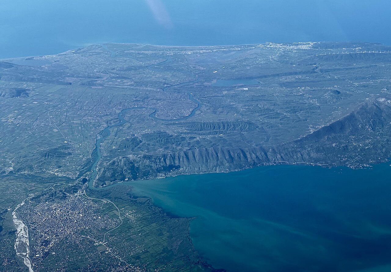
县
The north-west: the largest lake in southern Europe, the Albanian Alps and the Drin gorge.
保存
Shkodër County is in the north-west corner, next to Montenegro. It has the biggest lake in the region, a famous castle, and the high Albanian Alps with the village of Theth. Boats cross the long, narrow Koman reservoir through a gorge.
Shkodër County is in the north-west corner, next to Montenegro. It has the biggest lake in the region, a famous castle, and the high Albanian Alps with the village of Theth. Boats cross the long, narrow Koman reservoir through a gorge.
The earliest evidence of human activity in the Shkodër area dates to the Middle Paleolithic, estimated at between 120,000 and 30,000 years ago. Artifacts and faunal remains indicate that the first inhabitants were Pleistocene hunter-gatherers; later Neolithic farming communities are also attested by material finds.
The Copper and Early Bronze Ages mark a significant transition in the Shkodër basin, with the formation of new cultures and complex ethnogenetic processes across the eastern Adriatic coast. The basin's inhabitants produced pottery, practiced agriculture, and manufactured metal tools. The Early Bronze Age culture of Shkodra shares characteristics with the Cetina culture of the eastern Adriatic and its hinterland, and also shows connections with the Early Bronze Age culture of Maliq in southeastern Albania.
During the developed Early Bronze Age, tumulus burials appear in the region, a practice possibly associated with Indo-European migrations from the steppes. By the end of the Bronze Age and the opening of the Iron Age, roughly 1100–800 BC, a large, cohesive, and culturally homogeneous group had formed in the Shkodra region. Later historical sources would refer to this group as the tribe of the Labeatae.
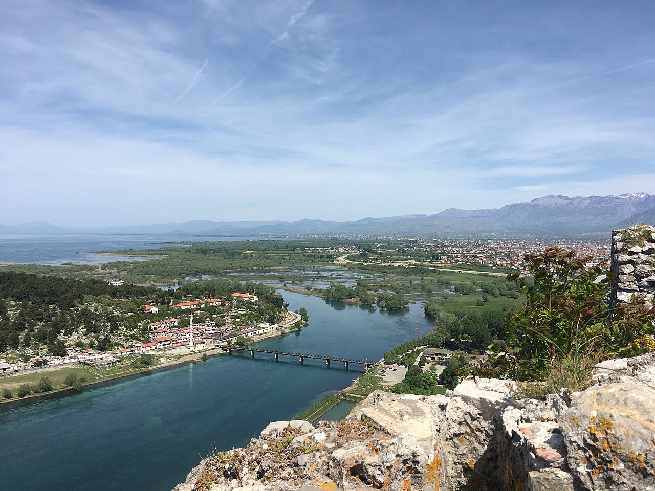
An urban settlement called Skodra was founded by the Illyrian tribe of the Labeatae in the 4th century BCE. It became the capital of the Illyrian kingdom under the Ardiaei and Labeatae dynasties and ranked among the most significant cities of the Balkans in antiquity. The settlement developed on a hill 130 metres above sea level, strategically positioned at the outflow of Lake Shkodër into the Buna river. Among the most prominent rulers associated with the city were King Agron, Queen Teuta, and King Gentius.
The name Skodra (Ancient Greek: Σκόδρα; Latin: Scodra) is the earliest attested form, appearing in 2nd-century BC coins with the ethnonymic genitive Σκοδρινῶν, meaning 'of the Skodrians'. The ultimate origin of the toponym is uncertain, though it is firmly pre-Roman. One proposed etymology relates it to the Albanian word kodër (definite: kodra), meaning 'hill', and to the Romanian codru, meaning 'wooded mountain or forest', connecting it to the ancient toponym Codrio/Kodrion.
The linguistic development from Illyrian Skodra to Albanian Shkodra/Shkodër is debated among scholars. Some treat it as evidence of regular phonological development within Albanian. Others argue that the expected sound changes—*/sk-/ becoming */h-/ and /o/ becoming /a/—did not occur, which would be expected if the name had been in continuous use since pre-Roman Proto-Albanian. A counter-argument notes that these changes predate the foundation of Skodra in the 4th century BC and that the preservation of /o/ in Shkodër is likely explained by the predominant influence of Latin in Adriatic coastal areas. Despite these debates, the Albanian toponym Shkodër is accepted as predating the end of the Roman period. In modern usage the name was adapted to Italian as Scodra and Scutari, the latter form being common in English until the 20th century; in Serbo-Croatian the city is called Skadar, and in Turkish İşkodra.
In 168 BC the Romans captured Scodra following the Third Illyrian War. The Illyrian king Gentius was defeated by the Roman force commanded by Anicius Gallus, and the city was annexed and sacked. It subsequently became an important trade and military node and was colonized by Rome. Scodra remained within the province of Illyricum and, later, Dalmatia.
In the 3rd century AD, the administrative reforms of Emperor Diocletian elevated Shkodër to the capital of the province of Praevalitana. By 395 AD, the city was part of the Diocese of Dacia within that province. With the spread of Christianity in the 4th century, the Archdiocese of Scodra was established, and in 535 the see was formally assumed under Byzantine Emperor Justinian I. After the division of the Roman Empire, the city passed to Byzantine control.
In the early 11th century, Shkodër and the surrounding region of Duklja were ruled by Jovan Vladimir, whose reign coincided with conflict between Byzantine Emperor Basil II and the Bulgarian Tsar Samuel. Vladimir retreated to Koplik when Samuel invaded and was compelled to accept Bulgarian vassalage before being killed by the Bulgarians. His feast, Shingjon, has since been observed by Albanian Orthodox Christians.
In the 1030s, Stefan Vojislav of Travunija expelled the last Byzantine strategos from the region and, by 1042, had established Shkodër as his capital. The city later became an integral part of the Serbian Nemanjić Zeta province. In 1214 it was briefly annexed by the Despotate of Epirus under Michael I Komnenos Doukas. In 1330, King Stefan Dečanski of Serbia appointed his son Stefan Dušan as governor of Zeta with his seat in Shkodër; conflict between father and son culminated in a military campaign in January 1331 in which Dečanski destroyed Dušan's court on the Drin near Shkodër. After a truce in April 1331, Dušan marched from Shkodër to Nerodimlje in August 1331 and deposed his father.
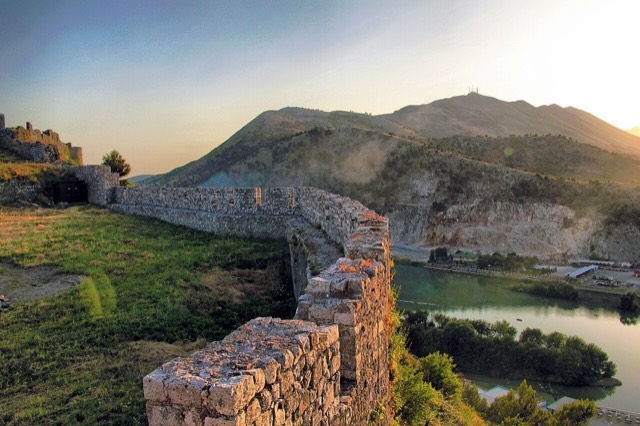
During the disintegration of the Serbian Empire, the Zeta noble family, the Balšić, took control of Shkodër and in 1396 surrendered the city to the Republic of Venice to create a buffer against the Ottoman Empire. Under Venetian rule the city adopted the Statutes of Scutari, a civic law written in Venetian. The Statutes record Albanian and Slavic presence in the city, though many Dalmatian Italians were brought in under Venetian administration and formed the majority for a time; after the Black Death killed much of that population, Albanians and Slavs again constituted the majority. The Venetians constructed St. Stephen's Church—later converted by the Ottomans into the Fatih Sultan Mehmet Mosque—and built the Rozafa Castle.
In 1478–1479, Sultan Mehmed II besieged Shkodër. During the 1478 operations, Mehmed personally directed the siege. Approximately ten heavy cannons were cast on site; cannonballs weighing up to 380 kg (838 lb) were fired against the citadel—examples remain on display in the castle museum. Despite the bombardment, the city held. Mehmed withdrew from the field and left his commanders to continue. By winter the Ottomans had captured the adjacent castles of Lezhë, Drisht, and Žabljak Crnojevića, and combined famine and sustained bombardment reduced the defenders' ability to resist.
The castle's naturally protected hilltop position imposed heavy casualties on each Ottoman assault. A negotiated settlement became viable for both sides. On 25 January an agreement between Venice and the Ottoman Empire ended the siege, allowing the citizens to depart unharmed while the Ottomans took the evacuated city. The defenders of the citadel emigrated to Venice; many Albanians from the surrounding region retreated into the mountains; the upper classes, aided by the Jonima family, settled in Ravenna, Venice, and Treviso. The city became the seat of the newly established Sanjak of Scutari.
By 1485, the city recorded 27 Muslim and 70 Christian hearths; by the end of the following century, Muslim hearths had grown to over 200, while Christian hearths remained at 27. After initial population flight following Ottoman consolidation, the city recovered and, by the 17th century, prospered as the economic centre of northern Albania, with craftsmen producing fabric, silk, arms, and silver artifacts.
Shkodër occupied a strategic geo-economic position within the Ottoman Empire, connecting the Adriatic coast and Italian ports by sea, and Prizren by overland routes. By the second half of the 19th century it was the administrative centre of the Vilayet of Shkodër and a significant trading hub for the entire Balkan peninsula. The city held over 3,500 shops at its commercial peak; major products included clothing, leather, tobacco, and gunpowder. A trade court, a directorate of postal services, and foreign consulates—the first established in 1718—all operated in the city.
Notable infrastructure built during the Ottoman period includes the Mesi Bridge (Ura e Mesit) over the Kir river, constructed in the second half of the 18th century. The bridge is over 100 m (330 ft) long, has 13 stone arches, with the largest arch measuring 22 m (72 ft) wide and 12 m (39 ft) tall. Shkodër also served as a centre of Islamic scholarship, producing numerous ulama, poets, and administrators, particularly from the Bushati family.
In the 18th century Shkodër became the centre of a pashaluk under the Bushati family, who ruled from 1757 to 1831. In 1737, all 178 Catholic families recorded in Shkodër were Albanian. The Ottoman-Albanian intellectual Sami Frashëri estimated in the 1880s that the city's population stood at approximately 37,000, of whom roughly three-quarters were Muslim and the remainder Christian, predominantly Catholic with a few hundred Orthodox. Following a rebellion led by Mustafa Pasha Bushatlliu, Ottoman forces besieged Shkodër for over six months before breaking Albanian resistance on 10 November 1831. In 1833 around 4,000 Albanian rebels seized the town again and held off Ottoman forces from April to December, ultimately sending a delegation to Istanbul; the Ottoman government eventually accepted their terms.
Shkodër played an active role in the League of Prizren, the Albanian political and military movement of the late 19th century. The city's branch of the League maintained its own armed unit and fought for the protection of Plav, Gusinje, Hoti, and Gruda, as well as in the conflict over Ulcinj. The Bushati Library, constructed in the 1840s, served as the local headquarters of the League's Shkodër branch. During this period, the Marubi family of photographers based in Shkodër produced over 150,000 negatives documenting the Albanian liberation movement, the raising of the Albanian flag in Vlorë, and urban life in Albania from the late 19th to early 20th century. The first Albanian newspapers and publications printed in Albania came from Shkodër's printing press.
During the Balkan Wars, Montenegrin forces and their Serbian allies besieged Shkodër. The Ottoman garrison, commanded initially by Hasan Riza Pasha and Esad Pasha (Hasan Riza Pasha having been killed in an ambush inside the city by Essad Toptani), resisted for seven months. Esad Pasha surrendered to Montenegro in April 1913, after the besieging force suffered more than 10,000 casualties. Under pressure from the London Conference of Ambassadors, Montenegro was compelled to transfer the city to newly independent Albania in May 1913.
During World War I, Montenegrin forces reoccupied Shkodër on 27 June 1915. Austria-Hungary took control in January 1916, making Shkodër the centre of their occupation zone. After the armistice of 11 November 1918, French forces occupied the city. The international military administration of Albania was temporarily headquartered in Shkodër, and in March 1920 the city passed to the administration of the national government in Tirana. In the second half of 1920, during the Serbian-Albanian War, Shkodër resisted Serbian invasion, led by Sylço Bushati and supported financially by figures including Musa Juka.
Shkodër was a centre of democratic political activity in 1921–1924. The democratic opposition won the majority in the Constitutional Assembly, and on 31 May 1924, democratic forces took control of the city before advancing toward Tirana. Between 1924 and 1939, the city underwent slow industrial development; the number of small factories producing food, textiles, and cement grew from 43 in 1924 to 70 in 1938. The city's population rose from 20,000 in 1924 to 29,000 in 1938. When Italy invaded Albania in 1939, Shkodër resisted under Mehmet Ullagaj before falling. After the Italian withdrawal in 1943, the city came under German control. Shkodër was liberated on 29 November 1945 by the National Liberation Movement, making it the last city in Albania to be freed from German control.
Under the communist regime established by Enver Hoxha, religious communities—particularly Catholics—as well as Muslim groups and intellectuals who opposed communist ideology faced repression. Shkodra is described as one of the Albanian cities with the highest numbers of political prisoners during this period. The Shkodër Bazaar (Pazari i Shkodrës) and the port on the Buna river were demolished by the communist authorities, terminating centuries of commercial activity and diminishing the city's economic and strategic significance.
The first laic school in Shkodër opened in 1913, and the State Gymnasium in 1922. The city was also the seat of a Catholic archbishopric and hosted several religious schools. During the early 1990s, Shkodër again became a focal point for democratic movements that ultimately ended communist rule. A severe flooding event struck the city and surrounding region in December 2010, described as likely the worst in the preceding 100 years. In 2011, a new swing bridge over the Buna river was built, replacing the earlier structure.
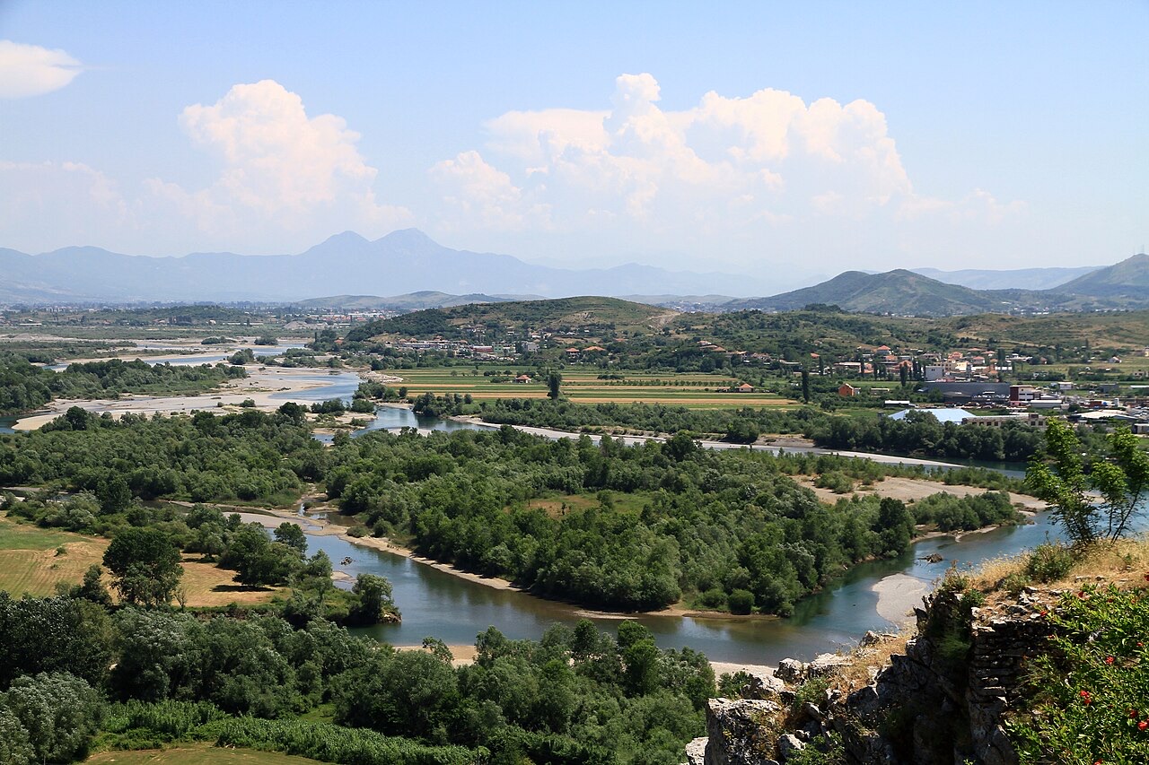
Shkodër extends across the Mbishkodra Plain between Lake Shkodër to the west and the foothills of the Albanian Alps—which form the southern extension of the Dinaric Alps—to the northeast. Mount Maranaj, at 1,576 m (5,171 ft), dominates the northeastern horizon. The city is bounded on three sides by rivers: the Kir to the east, the Drin to the south, and the Buna to the west. The Buna rises from Lake Shkodër and flows 41 km to the Adriatic Sea, forming the border with Montenegro; it joins the Drin approximately 2 km southwest of the city. The municipality covers 872.71 km² (336.96 sq mi); the city proper (the municipal unit of Shkodër) covers 16.46 km² (6.36 sq mi).
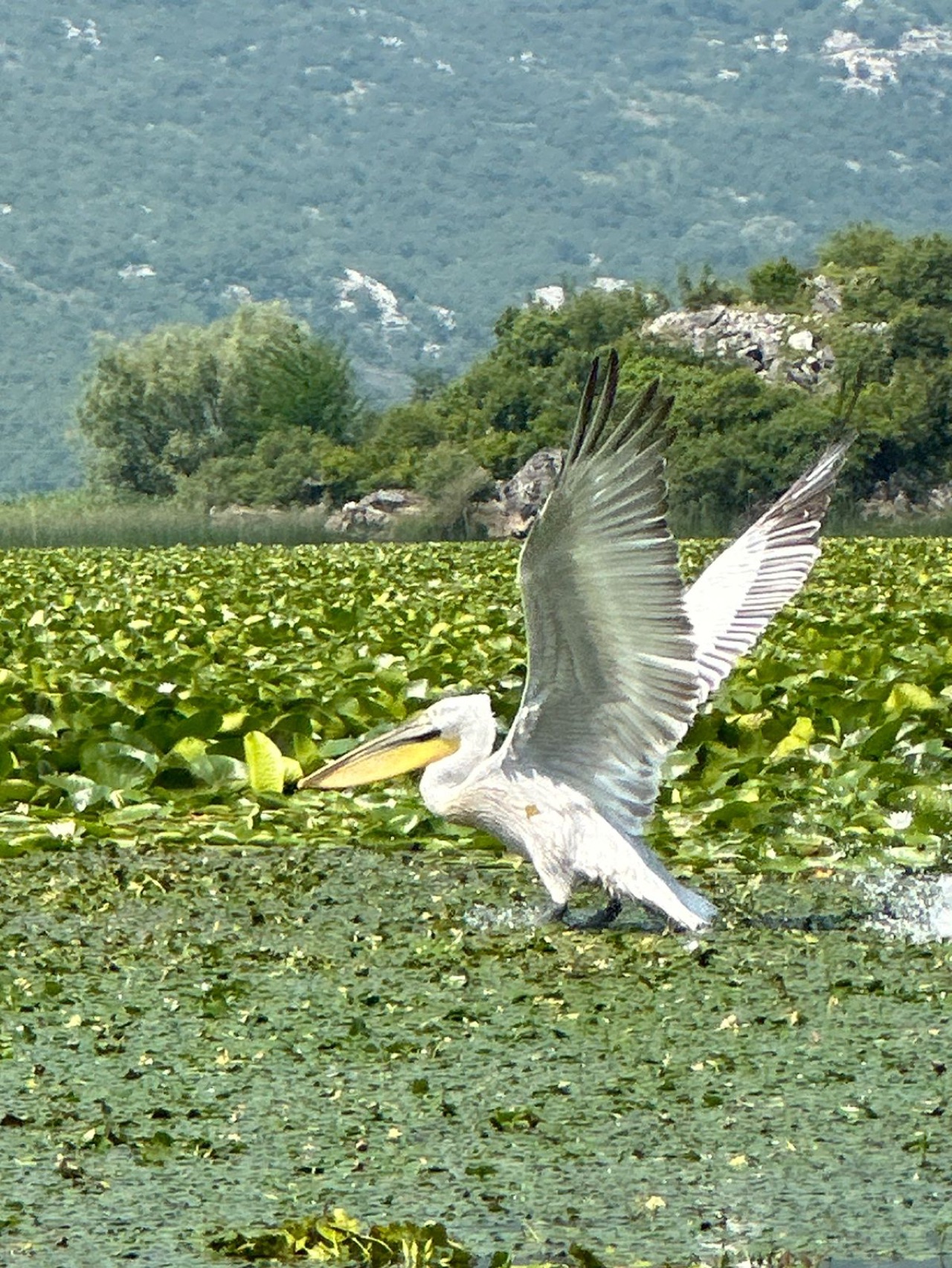
Lake Shkodër, the largest lake in Southern Europe, lies immediately west of the city and marks the Albanian-Montenegrin frontier. The Albanian section has been designated a nature reserve, and in 1996 the lake was recognised as a wetland of international importance under the Ramsar Convention. The lake is a cryptodepression, fed principally by the river Morača and drained by the Buna.
Shkodër has a borderline hot-summer Mediterranean (Köppen: Csa) and humid subtropical (Köppen: Cfa) climate. January mean monthly temperatures range between 1.8 °C (35.2 °F) and 10.3 °C (50.5 °F); August means range between 20.2 °C (68.4 °F) and 33.6 °C (92.5 °F). Average annual precipitation is approximately 1,500 mm (59.1 in), placing the area among the wettest in Europe. As of the 2011 census, the municipal unit of Shkodër had an estimated population of 77,075 (37,630 men; 39,445 women), while the broader municipality recorded 135,612 residents, making Shkodër the fourth most populous city and fifth most populous municipality in Albania.
历史遗址 · Shkodër
A 108 m, thirteen-arch packhorse bridge over the Kir north-east of Shkodër.
城市 · Shkodër
The cultural capital of the north: a lake, a fortress, a bicycle city and a Catholic heartland.
历史遗址 · Shkodër
The rock fortress above the meeting of three rivers, and the setting of Albania's best-known legend.
湖泊 · Shkodër
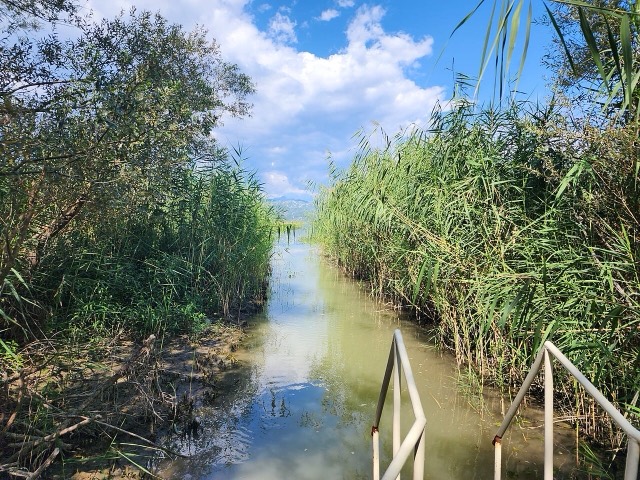
The largest lake in southern Europe, shared with Montenegro and a major bird wintering ground.
河流 · Shkodër
A tributary of the Drin above Koman, reached by boat and often called Albania's Thailand.
保护区 · Shkodër
The glacial valley park at the heart of the Albanian Alps, merged into a wider protected complex in 2022.
海滩 · Shkodër
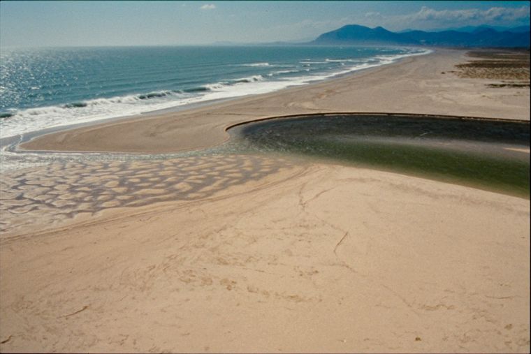
A very shallow, wide sand beach at the Buna delta, beside a protected lagoon.
山脉 · Shkodër
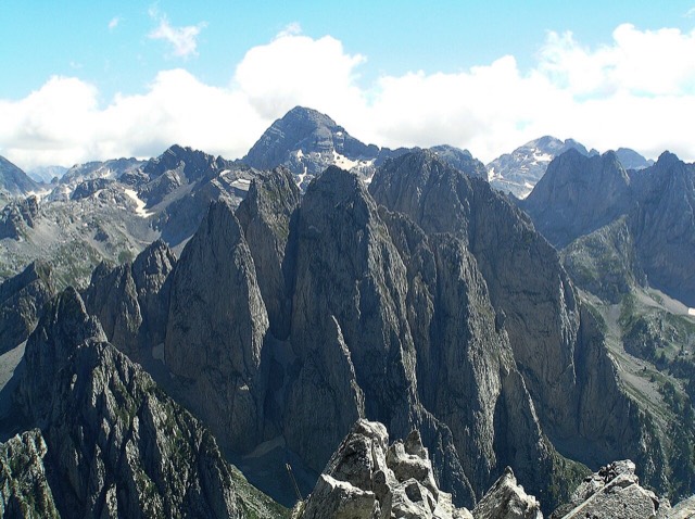
The limestone wall of the far north — locally the Accursed Mountains — shared with Montenegro and Kosovo.
山峰 · Shkodër
At 2,694 m the highest peak entirely inside the Dinaric Alps, deep in the Albanian Alps.
城镇 · Shkodër
The seat of Malësi e Madhe, at the foot of the Alps near the Montenegrin border.
村庄 · Shkodër
A glacial valley village in the Albanian Alps: a lock-in tower, a waterfall, and one end of the country's best-known trek.
能源设施 · Shkodër
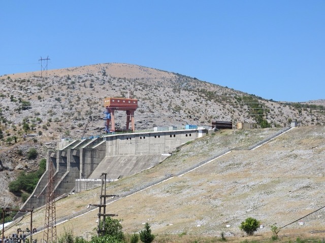
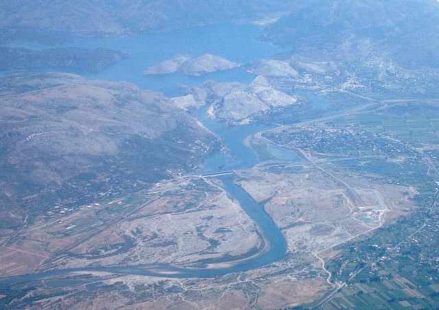
The lowest station of the Drin cascade, just upstream of Shkodër.
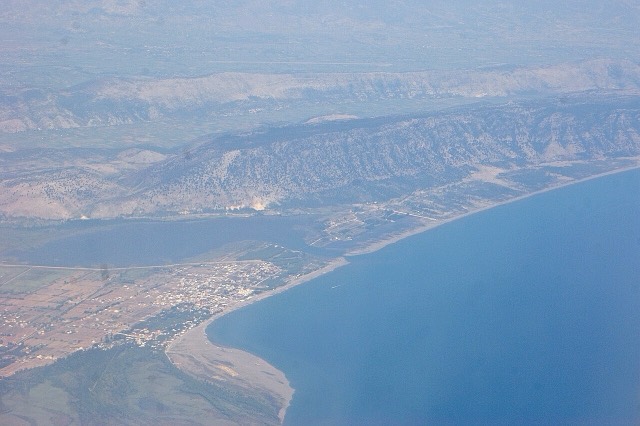
A wide, shallow sand beach at the Buna river mouth, with a protected lagoon reserve.
The archive of the Balkans' oldest photographic studio — about 500,000 negatives from 1858 onward.
The middle station of the Drin cascade, and the dam that created Lake Koman.
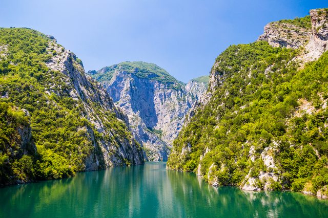
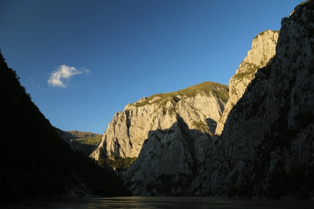
A working transport link through a gorge that has become one of Albania's best-known journeys.
A 34 km reservoir in a gorge so narrow the ferry crossing is treated as a scenic journey in its own right.
The short outflow of Lake Shkodër, and Albania's only navigable river.
Albania's longest river and the backbone of its electricity system, dammed three times in the north.
A forested highland town on the old road north, at about 830 m.
The town beside the lowest dam of the Drin cascade, east of Shkodër.
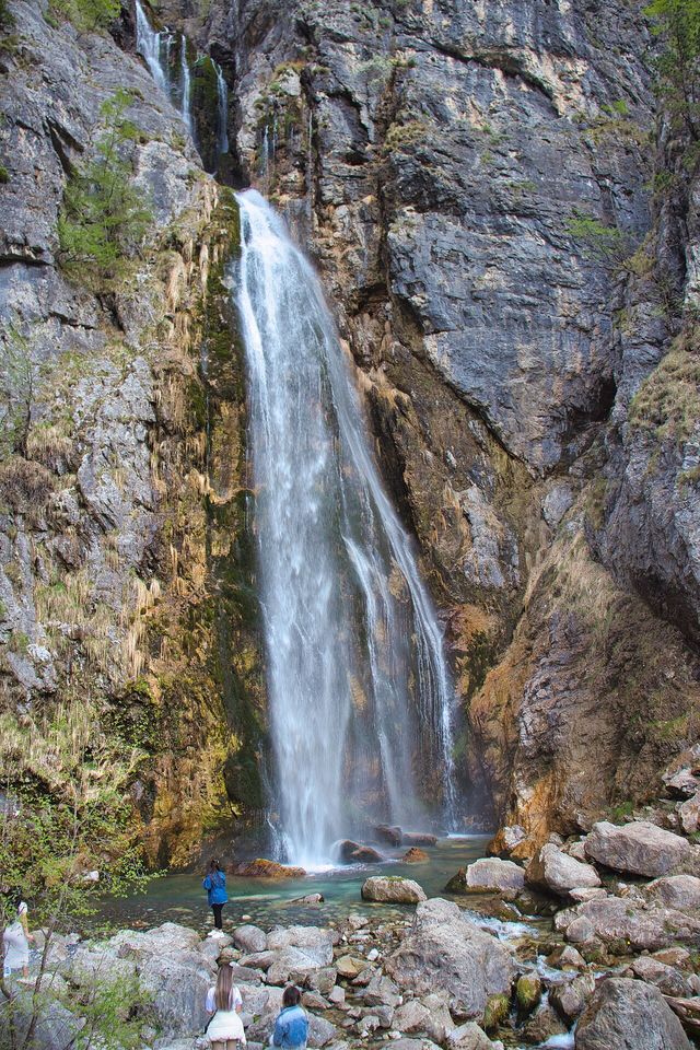
A 25–30 m fall in the Theth valley, and a declared natural monument.
The main public university of northern Albania.
A small timber and mining town in the northern highlands.
本页内容有误? 欢迎提交更正意见,所有意见均会与原始记录核对。请告知错误所在,如能提供正确数据的出处,请一并注明。