Plaats · Vlorë
Himarë
The centre of the Riviera coast: a Greek-speaking historical community, an old hill village and a string of coves.
Elke provincie, elke kust, elke eeuw
Begeleidende weergave
Nieuw in Albanië? Elke pagina begint met een uitleg in eenvoudige taal die u aan een tienjarige zou kunnen voorlezen, voordat de details beginnen.
Expertweergave
U kent de basis al. Meteen naar de kern, met de eenvoudige uitleg verborgen. Dit is de standaardinstelling.
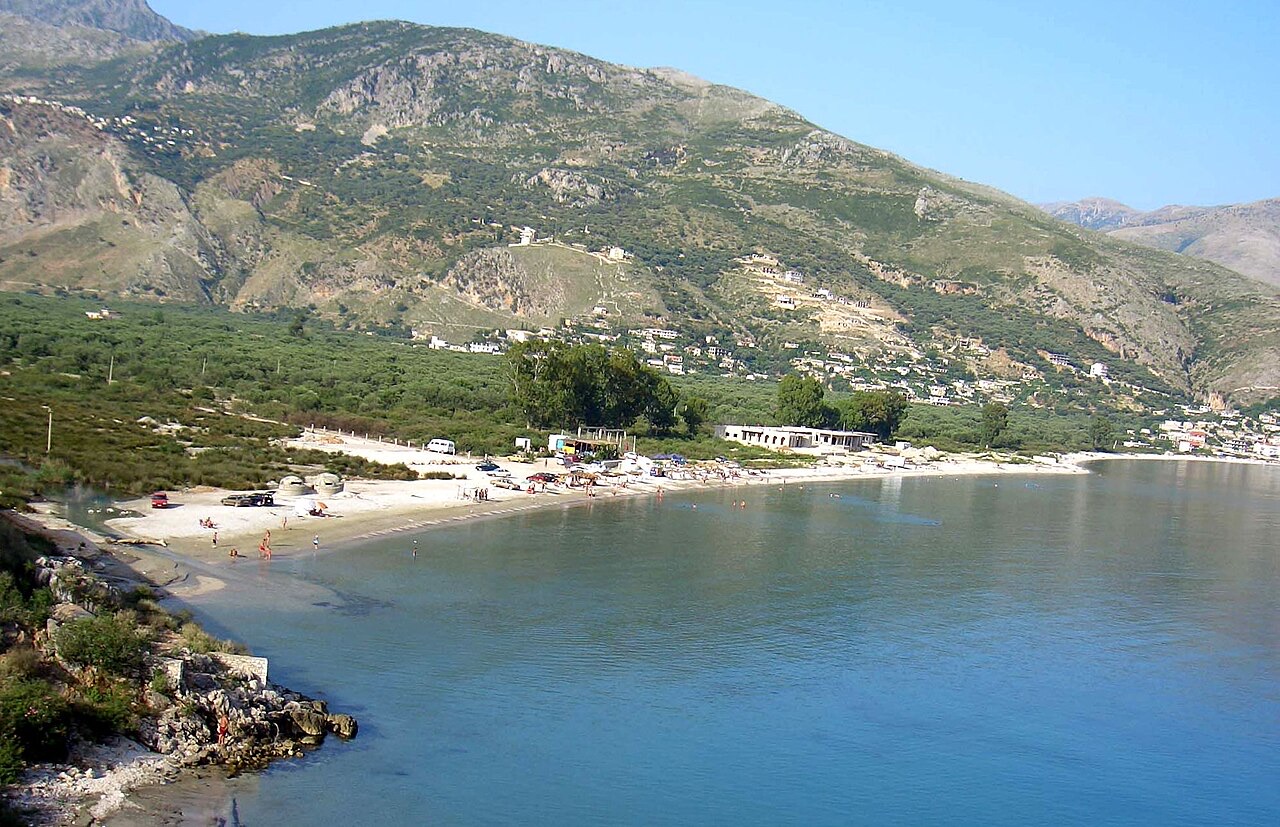
Dorp · Vlorë County
A half-abandoned upper village of stone houses above a quiet shingle bay.
Opslaan
Qeparo is on the Riviera. The old village is up the hill and many of its houses are empty, while a newer settlement and a beach sit below by the sea.
Qeparo is on the Riviera. The old village is up the hill and many of its houses are empty, while a newer settlement and a beach sit below by the sea.
De warmste maand is August (gemiddeld dagelijks maximum 29°C), de koudste is January (gemiddeld dagelijks minimum 7°C), en de natste is November (275 mm). De gemiddelde jaarlijkse neerslag bedraagt 1,602 mm. De zeetemperatuur bereikt een piek in augustus van ongeveer 26°C.
| Maand | Maximum | Minimum | Neerslag | Natte dagen | Zon/dag | Zee |
|---|---|---|---|---|---|---|
| January | 12°C | 7°C | 198 mm | 13 | 7.1 h | 17°C |
| February | 13°C | 7°C | 170 mm | 12 | 7.9 h | 15°C |
| March | 15°C | 9°C | 152 mm | 12 | 9.5 h | 15°C |
| April | 18°C | 12°C | 105 mm | 12 | 10.8 h | 16°C |
| May | 22°C | 16°C | 74 mm | 10 | 12.1 h | 19°C |
| June | 26°C | 20°C | 38 mm | 5 | 13.6 h | 24°C |
| July | 29°C | 23°C | 16 mm | 3 | 13.8 h | 26°C |
| August | 29°C | 23°C | 26 mm | 4 | 12.9 h | 26°C |
| September | 25°C | 20°C | 126 mm | 9 | 10.6 h | 26°C |
| October | 21°C | 16°C | 170 mm | 10 | 9.1 h | 25°C |
| November | 17°C | 12°C | 275 mm | 14 | 7.0 h | 21°C |
| December | 13°C | 9°C | 252 mm | 14 | 6.4 h | 18°C |
Bron: ERA5 reanalysis via Open-Meteo, 1994–2023 · "Maximum" en "Minimum" zijn het gemiddelde dagelijkse maximum en minimum van de luchttemperatuur. "Natte dagen" telt dagen met ten minste 1 mm neerslag.
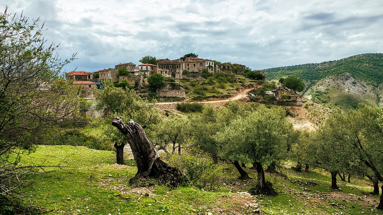
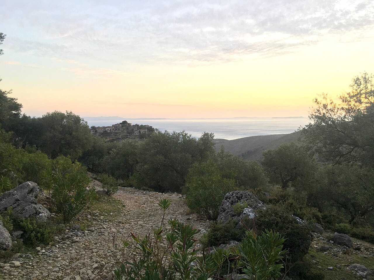
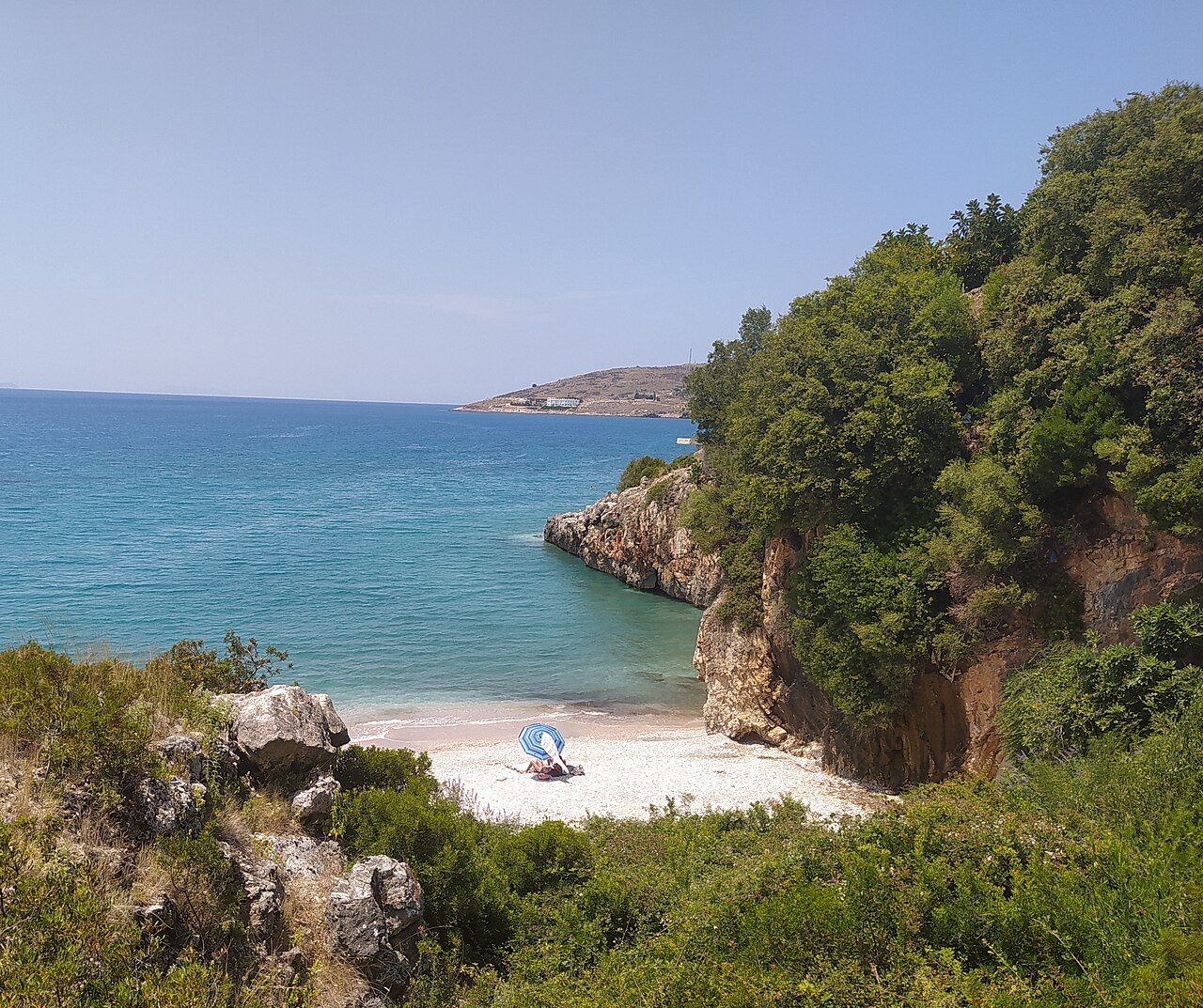
Plaats · Vlorë
The centre of the Riviera coast: a Greek-speaking historical community, an old hill village and a string of coves.
Historische site · Vlorë
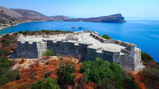
A triangular fortress on a causeway peninsula, built for Ali Pasha of Tepelena.
Strand · Vlorë
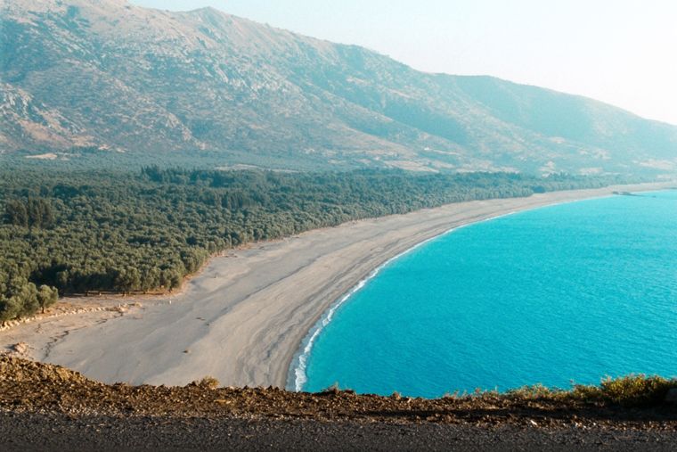
At roughly 7 km, the longest single beach on the Riviera, backed by one of Albania's largest olive groves.
Strand · Vlorë
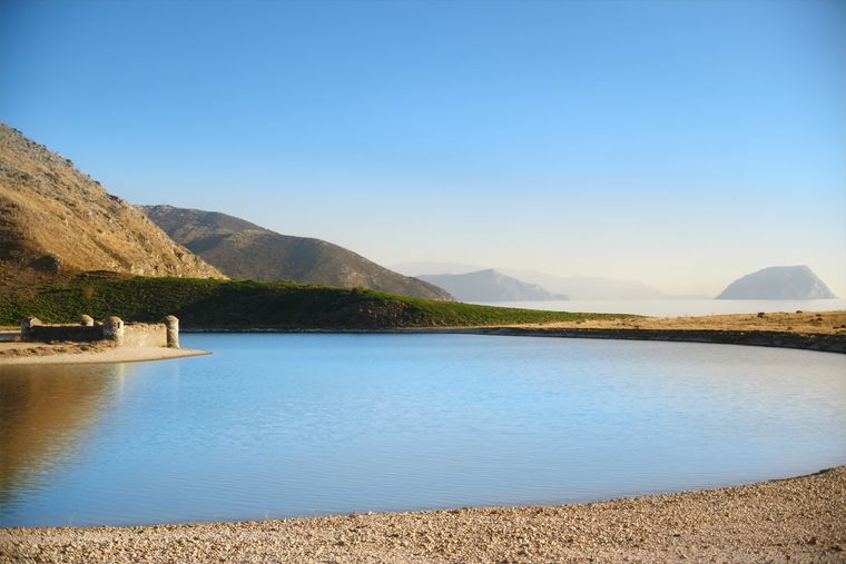
A near-enclosed bay wrapped around Ali Pasha's triangular fortress on its own peninsula.
Strand · Vlorë
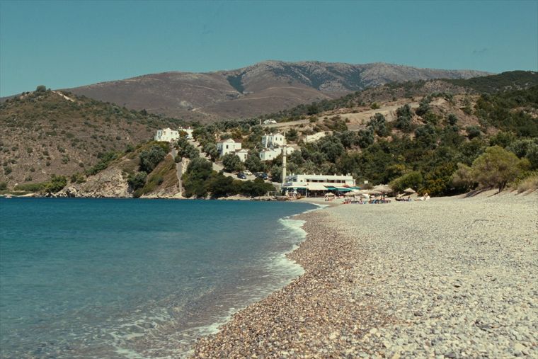
The broad bay immediately south of Himarë, the most developed beach on that stretch.
Onderwerp · Vlorë
The 120 km of Ionian coast between the Llogara pass and Sarandë, where the Ceraunian mountains fall straight into the sea.
Iets onjuist op deze pagina? Correcties zijn welkom en worden gecontroleerd aan de hand van de bronregistratie. Laat ons weten wat onjuist is en, indien mogelijk, waar het juiste cijfer vandaan komt.