Kleinstadt · Vlorë
Himarë
The centre of the Riviera coast: a Greek-speaking historical community, an old hill village and a string of coves.
Jeder Kreis, jede Küste, jedes Jahrhundert
Geführte Ansicht
Neu in Albanien? Jede Seite beginnt mit einer einfachen Erklärung, die auch ein Zehnjähriger verstehen würde – bevor es ins Detail geht.
Expertenansicht
Sie kennen die Grundlagen bereits. Direkt zur Substanz, ohne die vereinfachten Erklärungen. Dies ist die Standardeinstellung.
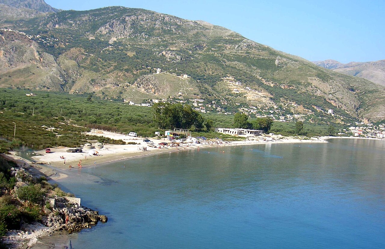
Dorf · Vlorë County
A half-abandoned upper village of stone houses above a quiet shingle bay.
Speichern
Qeparo is on the Riviera. The old village is up the hill and many of its houses are empty, while a newer settlement and a beach sit below by the sea.
Qeparo is on the Riviera. The old village is up the hill and many of its houses are empty, while a newer settlement and a beach sit below by the sea.
Der wärmste Monat ist August (mittleres tägliches Maximum 29°C), der kälteste ist January (mittleres tägliches Minimum 7°C), und der regenreichste ist November (275 mm). Der mittlere jährliche Gesamtniederschlag beträgt 1,602 mm. Die Meerestemperatur erreicht im August einen Höchstwert von etwa 26°C.
| Monat | Maximum | Minimum | Niederschlag | Regentage | Sonne/Tag | Meer |
|---|---|---|---|---|---|---|
| January | 12°C | 7°C | 198 mm | 13 | 7.1 h | 17°C |
| February | 13°C | 7°C | 170 mm | 12 | 7.9 h | 15°C |
| March | 15°C | 9°C | 152 mm | 12 | 9.5 h | 15°C |
| April | 18°C | 12°C | 105 mm | 12 | 10.8 h | 16°C |
| May | 22°C | 16°C | 74 mm | 10 | 12.1 h | 19°C |
| June | 26°C | 20°C | 38 mm | 5 | 13.6 h | 24°C |
| July | 29°C | 23°C | 16 mm | 3 | 13.8 h | 26°C |
| August | 29°C | 23°C | 26 mm | 4 | 12.9 h | 26°C |
| September | 25°C | 20°C | 126 mm | 9 | 10.6 h | 26°C |
| October | 21°C | 16°C | 170 mm | 10 | 9.1 h | 25°C |
| November | 17°C | 12°C | 275 mm | 14 | 7.0 h | 21°C |
| December | 13°C | 9°C | 252 mm | 14 | 6.4 h | 18°C |
Quelle: ERA5 reanalysis via Open-Meteo, 1994–2023 · „Maximum" und „Minimum" sind das mittlere tägliche Temperaturmaximum bzw. -minimum. „Regentage" zählt Tage mit mindestens 1 mm Niederschlag.
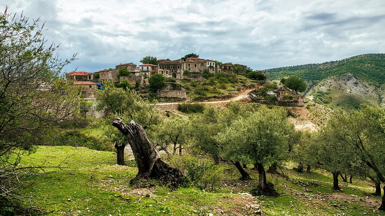
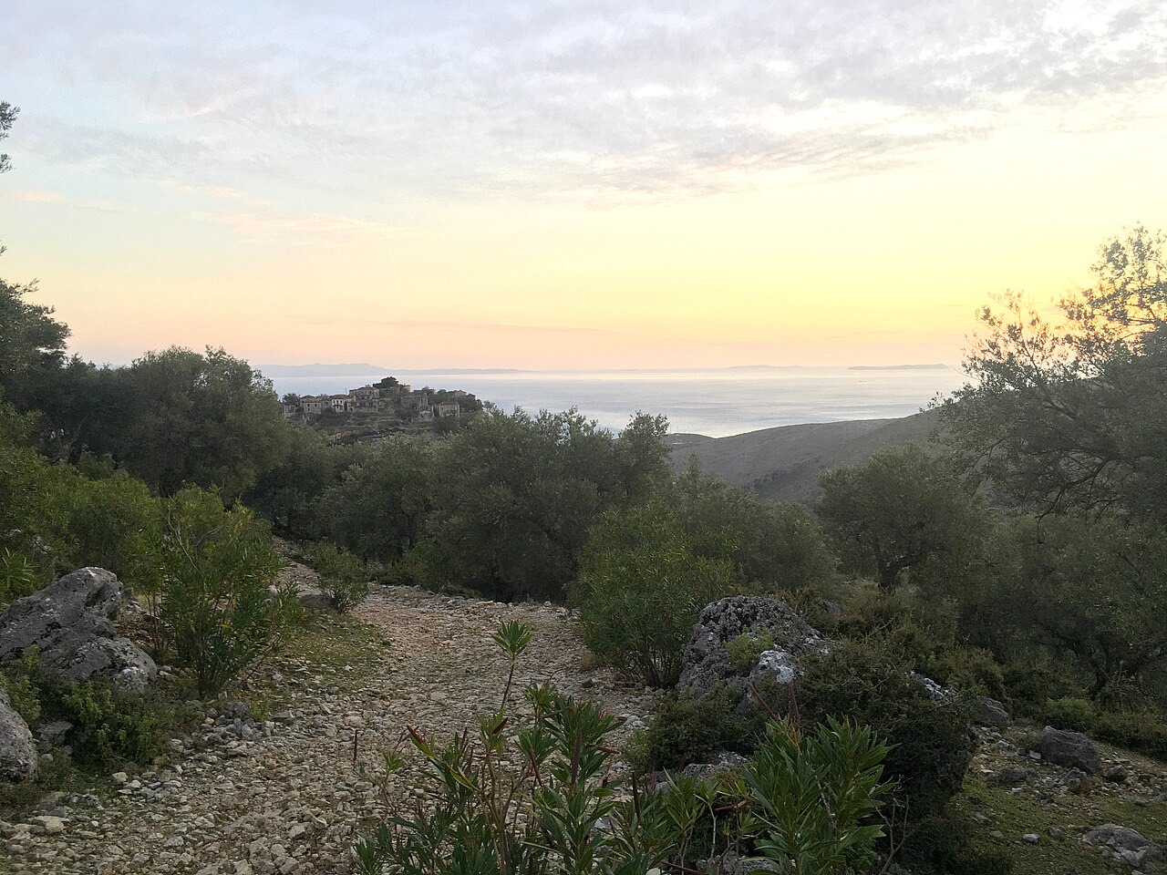
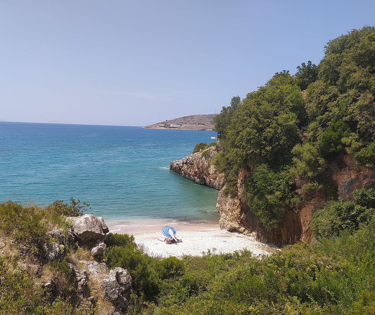
Kleinstadt · Vlorë
The centre of the Riviera coast: a Greek-speaking historical community, an old hill village and a string of coves.
Historische Stätte · Vlorë
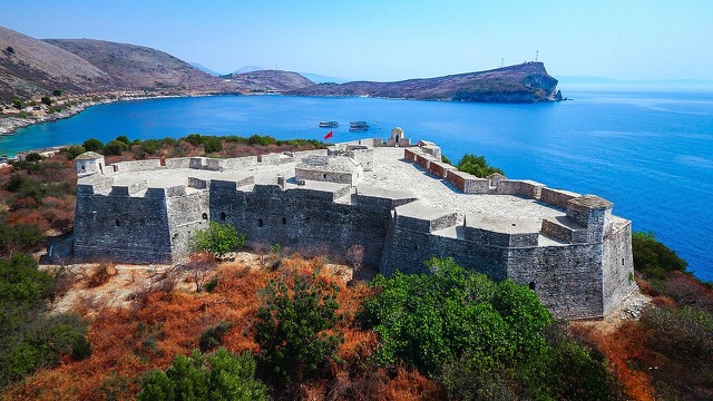
A triangular fortress on a causeway peninsula, built for Ali Pasha of Tepelena.
Strand · Vlorë
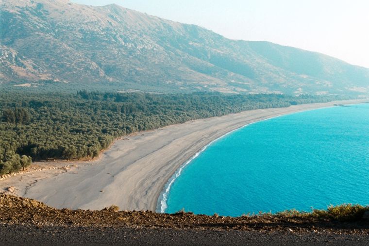
At roughly 7 km, the longest single beach on the Riviera, backed by one of Albania's largest olive groves.
Strand · Vlorë
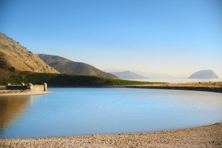
A near-enclosed bay wrapped around Ali Pasha's triangular fortress on its own peninsula.
Strand · Vlorë
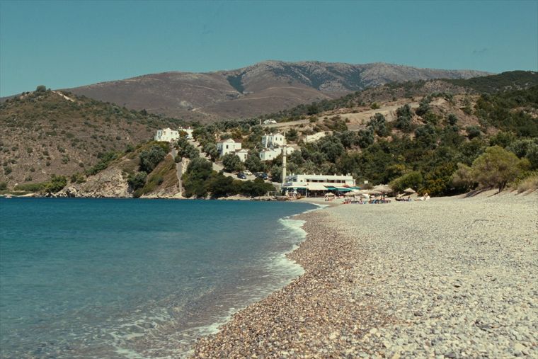
The broad bay immediately south of Himarë, the most developed beach on that stretch.
Betreff · Vlorë
The 120 km of Ionian coast between the Llogara pass and Sarandë, where the Ceraunian mountains fall straight into the sea.
Etwas falsch auf dieser Seite? Korrekturen sind willkommen und werden gegen den Quelldatensatz geprüft. Bitte mitteilen, was falsch ist und, wenn möglich, woher die richtige Angabe stammt.