Protected area
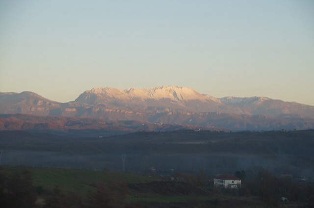
Lurë-Dejë Mountain National Park
A cluster of small glacial lakes among black pine on the Lurë ridge, badly damaged by logging and slowly recovering.
🧭 Guided view
New to Albania? Every page opens with a plain-language explanation you could read to a ten-year-old, before the detail begins.
⚡ Expert view
You already know the basics. Straight to the substance, with the simple explanations hidden. This is the default.
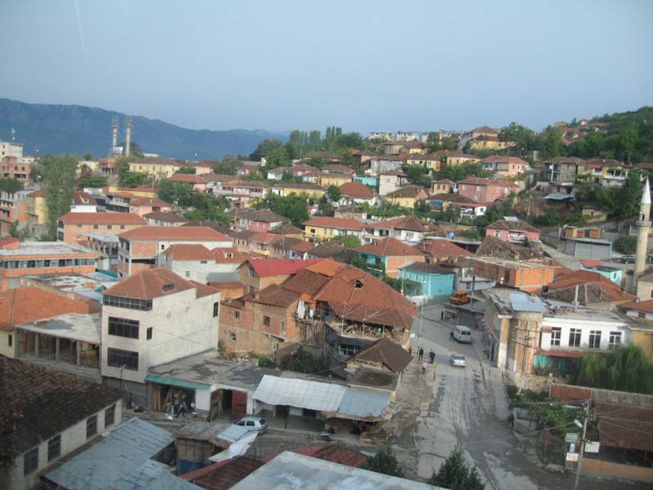
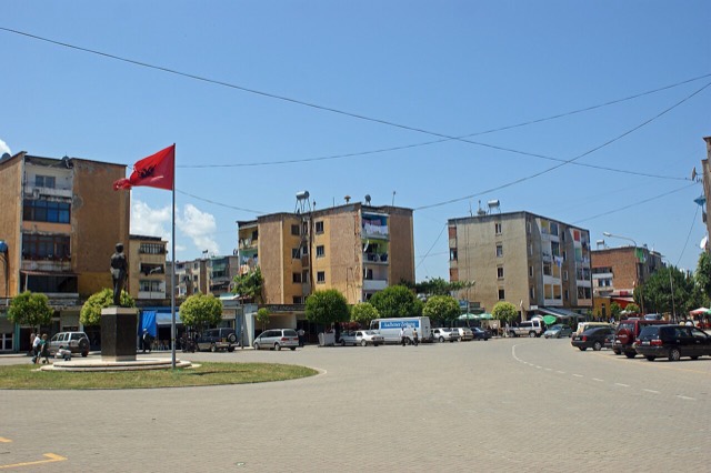
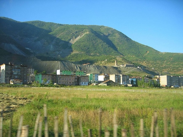
Peshkopi is a town in the eastern mountains. It has hot springs that people bathe in for their health. Albania's highest mountain, Korab, is nearby on the border with North Macedonia.
Peshkopi is a town in the eastern mountains. It has hot springs that people bathe in for their health. Albania's highest mountain, Korab, is nearby on the border with North Macedonia.
Thirty-year normals for Peshkopi, computed for this Atlas from daily ERA5 reanalysis over 1994–2023. These are long-run averages, not a forecast: any individual year can differ substantially.
The warmest month is August (mean daily high 28°C), the coldest is January (mean daily low -3°C), and the wettest is December (131 mm). Total annual rainfall averages 1,110 mm.
| Month | High | Low | Rain | Wet days | Sun/day |
|---|---|---|---|---|---|
| January | 5°C | -3°C | 116 mm | 11 | 6.5 h |
| February | 6°C | -2°C | 99 mm | 11 | 7.6 h |
| March | 10°C | 1°C | 104 mm | 12 | 9.0 h |
| April | 15°C | 6°C | 105 mm | 15 | 10.1 h |
| May | 20°C | 11°C | 100 mm | 15 | 11.4 h |
| June | 24°C | 15°C | 64 mm | 11 | 13.3 h |
| July | 27°C | 17°C | 50 mm | 8 | 13.4 h |
| August | 28°C | 17°C | 45 mm | 8 | 12.5 h |
| September | 22°C | 13°C | 83 mm | 10 | 10.2 h |
| October | 18°C | 9°C | 87 mm | 9 | 8.5 h |
| November | 12°C | 4°C | 126 mm | 11 | 6.7 h |
| December | 6°C | -1°C | 131 mm | 12 | 5.9 h |
Source: ERA5 reanalysis via Open-Meteo, 1994–2023 · “High” and “Low” are mean daily maximum and minimum air temperature. “Wet days” counts days with at least 1 mm of precipitation. Get this as JSON
These are real relationships in the Atlas — places that are near this one, and subjects it genuinely belongs with. Nothing here is a generic recommendation.
A cluster of small glacial lakes among black pine on the Lurë ridge, badly damaged by logging and slowly recovering.
At 2,764 m the highest point in both Albania and North Macedonia, on the border ridge.
The seat of Mat municipality in the central highlands, near the Mat river dams.
A chromium mining town — Albania is among the world's larger chrome producers.
The limestone wall of the far north — locally the Accursed Mountains — shared with Montenegro and Kosovo.
Something wrong on this page? Corrections are welcome and are checked against the source record. Tell us what is wrong and, if you can, where the right figure comes from.