历史遗址 · Shkodër
Mesi Bridge
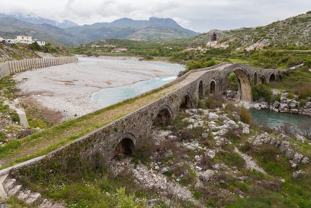
A 108 m, thirteen-arch packhorse bridge over the Kir north-east of Shkodër.
每个县、每段海岸、每个世纪
引导视图
初次了解阿尔巴尼亚?每个页面均以通俗易懂的说明开篇——即便是十岁的孩子也能读懂——随后再展开详细内容。
专业视图
您已掌握基础知识。直接进入正题,简明解释默认隐藏。此为默认模式。
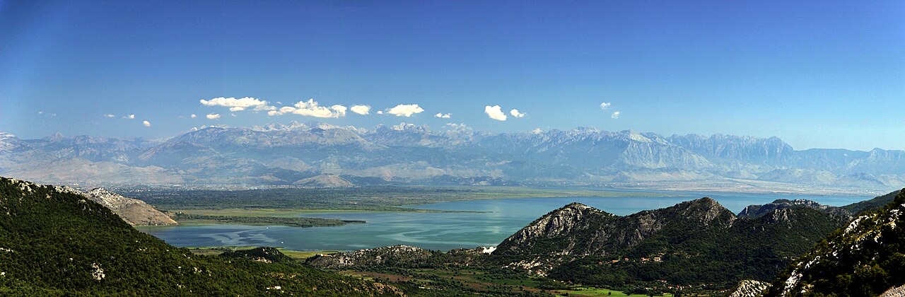
湖泊 · Shkodër County
The largest lake in southern Europe, shared with Montenegro and a major bird wintering ground.
保存
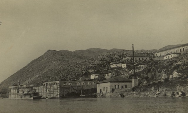
Lake Shkodër is the biggest lake in southern Europe. About a third of it is in Albania and the rest is in Montenegro. Huge numbers of birds spend the winter there, including pelicans.
Lake Shkodër is the biggest lake in southern Europe. About a third of it is in Albania and the rest is in Montenegro. Huge numbers of birds spend the winter there, including pelicans.
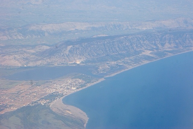
Lake Shkodër lies on the border between Albania and Montenegro and is the largest lake in the Balkan Peninsula and in Southern Europe. Its surface area fluctuates seasonally between 370 km² and 530 km², and its water level varies between 4.7 and 9.8 metres above sea level. The lake extends from northwest to southeast and measures approximately 44 km in length.
Roughly 65% of the lake's surface area falls within Montenegro and approximately 35% within Albania. The Albanian portion has been designated a Managed Nature Reserve and a Ramsar site, listed under the Ramsar Convention on Wetlands in 1996. The Montenegrin portion and its surrounding land were declared a national park in 1983.
The lake takes its name from the Albanian city of Shkodër, which lies on its southeastern coast. It is also known by the Serbian and Montenegrin name Skadarsko jezero and was historically called Lake Scutari in English.
Lake Shkodër is a karst lake and a cryptodepression — a basin whose floor lies below sea level even though the water surface is above it. Its total drainage area covers 5,490 km². The largest inflow comes from the Morača River, which contributes approximately 62% of the lake's water. The Buna River (Montenegrin: Bojana), 41 km long, drains the lake into the Adriatic Sea and forms the international border along the lower half of its course. The Drin River provides a hydrological link with Lake Ohrid.
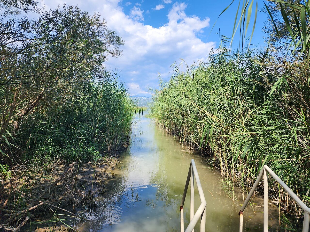
A distinctive feature of the lake's water balance is the substantial inflow from numerous karst springs, both temporary and permanent. Several of these springs are sublacustrine — located beneath the lake surface in cryptodepressions called oko. The southern and southwestern shores are rocky, steep, and barren, and the bays along those shores are where sublacustrine springs are most commonly found. On the northern side, a large inundated area expands and contracts as the water level changes seasonally.
Some sublacustrine springs face growing pressure from human activity. The spring at Karuč, for example, is identified as being threatened by eutrophication and extraction for water supply.
Lake Shkodër is considered an ancient lake, though a relatively young one by the standards of ancient lakes. Most researchers agree that the basin is of tectonic origin, formed by complex folding and faulting within the northeastern wing of the Old Montenegro anticlinorium, in the zone known as High Karst. These movements occurred during the Cenozoic era.
The lake basin formed as a result of the sinking of rock blocks during the Neogene period, or possibly as early as the Paleogene. During the Miocene and Pliocene epochs, marine conditions prevailed in the Zeta Plain; the plain subsided at the beginning of the late Miocene, and the sea inundated it as far as present-day Podgorica during the Pliocene. The lake's connection with the sea was severed during the younger Pliocene.
The marine history of the basin has direct biological significance. Researcher Radoman (1985) noted that the sea would have eliminated all freshwater populations in the area during that period of inundation. The subsequent re-establishment of freshwater conditions is considered the basis for the lake's present high degree of biological endemism.
Several small islands sit on the southwestern side of the lake. Beška carries two churches. Grmožur, also on the southwestern side, is a former fortress that was used as a prison.
Near the mouth of the Rijeka Crnojevića, at a depth of 11 metres below the lake's surface, lies the wreck of the steamboat Skanderbeg. The vessel was sunk by partisans in 1942 during the Second World War and is described as well-preserved.
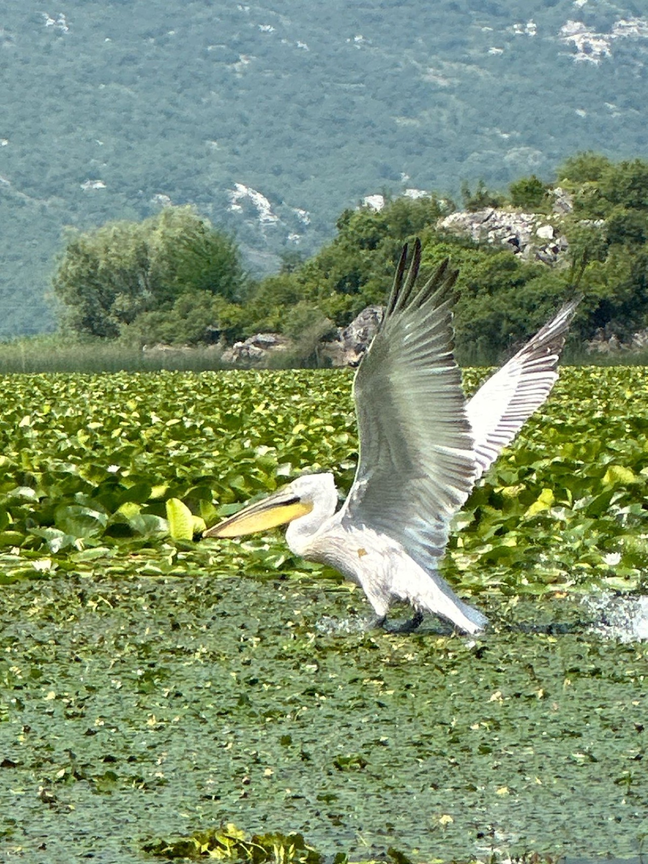
Lake Shkodër is one of the largest bird reserves in Europe, with 270 recorded bird species. Among these are some of the last populations of pelicans in Europe. The lake also supports habitats for seagulls and herons. BirdLife International has recognised it as an Important Bird Area (IBA).
The lake is rich in fish. Carp, bleak, and eel are particularly abundant. Of the 34 native fish species recorded, 7 are endemic to Lake Shkodër.
Lake Shkodër is considered a hotspot of freshwater biodiversity, with particular significance for molluscs. At the scale of the lake itself, approximately 31% of freshwater snail species are endemic — 12 out of 39 species sampled. At the broader scale of the lake basin, 38% of the total freshwater gastropod fauna, representing 19 species, are endemic, out of a total of 50 reliably recorded species. The freshwater gastropod endemism index for the lake is 0.478, which exceeds the values recorded for Lake Malawi and Lake Titicaca.
The lake is inhabited by five species of the genus Bithynia and is identified as a centre of Bithynia evolution. For amphipods, 17 species have been recorded within the lake's watershed, of which 10 are endemic, the majority from subterranean habitats.
The 2011 IUCN Red List of Threatened Species lists 21 endemic species from the Lake Shkodër basin.
Research into phytoplankton communities and chlorophyll-based trophic state indices places Lake Shkodër at a betamesosaprobic level of saprobity, indicating moderate pollution with organic compounds. Eutrophication, water pollution, and sand and gravel extraction within the lake and its basin are identified as ongoing threats.
The effects of human-induced environmental change are described as particularly evident at sublacustrine springs. The small geographic ranges of many endemic species, combined with increasing human pressure, make the lake's fauna especially vulnerable to disturbance and habitat degradation.
The lake's climate is classified as hot-summer Mediterranean (Csa) under the Köppen climate classification system, characterised by dry summers.
The wine-growing area known as the Skadar Lake Basin lies in the broader territory around the lake on the Montenegrin side. Radio Skadar, a radio station based in Podgorica, takes its name from the lake.
最热月份为 August (日最高气温均值 30°C), 最冷月份为 January (日最低气温均值 4°C), 降水最多的月份为 November (281 mm). 年均降雨总量为 1,845 mm.
| 月份 | 最高气温 | 最低气温 | 降雨量 | 降雨天数 | 日照时长 |
|---|---|---|---|---|---|
| January | 9°C | 4°C | 195 mm | 13 | 6.3 h |
| February | 10°C | 4°C | 183 mm | 12 | 7.2 h |
| March | 14°C | 7°C | 168 mm | 11 | 8.9 h |
| April | 18°C | 11°C | 144 mm | 11 | 10.2 h |
| May | 22°C | 16°C | 107 mm | 9 | 11.8 h |
| June | 27°C | 20°C | 56 mm | 6 | 13.3 h |
| July | 30°C | 23°C | 30 mm | 4 | 13.6 h |
| August | 30°C | 23°C | 50 mm | 4 | 12.7 h |
| September | 25°C | 19°C | 196 mm | 8 | 10.4 h |
| October | 20°C | 14°C | 191 mm | 9 | 8.6 h |
| November | 15°C | 10°C | 281 mm | 13 | 6.4 h |
| December | 10°C | 5°C | 245 mm | 13 | 5.8 h |
数据来源: ERA5 reanalysis via Open-Meteo, 1994–2023 · "最高气温"与"最低气温"分别为日最高和日最低气温均值。"降雨天数"统计降水量不低于 1 毫米的天数。
历史遗址 · Shkodër
A 108 m, thirteen-arch packhorse bridge over the Kir north-east of Shkodër.
城市 · Shkodër
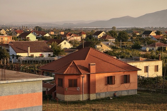
The cultural capital of the north: a lake, a fortress, a bicycle city and a Catholic heartland.
历史遗址 · Shkodër
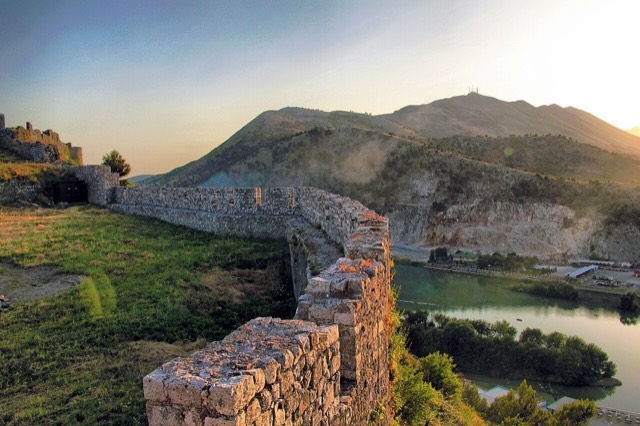
The rock fortress above the meeting of three rivers, and the setting of Albania's best-known legend.
海滩 · Shkodër
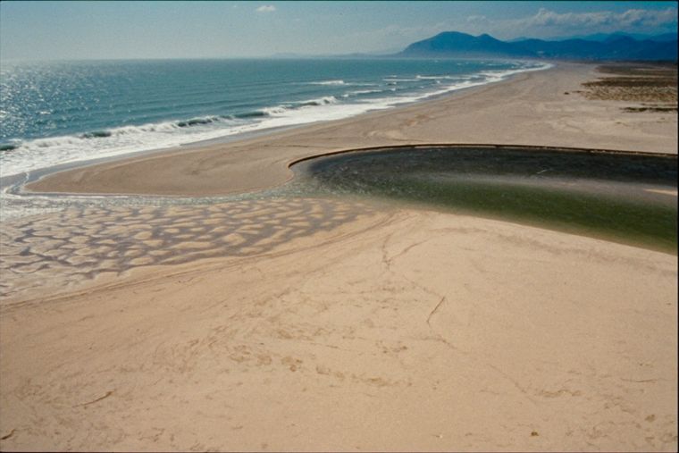
A very shallow, wide sand beach at the Buna delta, beside a protected lagoon.
城镇 · Shkodër
The seat of Malësi e Madhe, at the foot of the Alps near the Montenegrin border.
村庄 · Shkodër
A wide, shallow sand beach at the Buna river mouth, with a protected lagoon reserve.
比较
Two small Adriatic neighbours: one bigger, cheaper and rougher, one smaller, pricier and more polished.
本页内容有误? 欢迎提交更正意见,所有意见均会与原始记录核对。请告知错误所在,如能提供正确数据的出处,请一并注明。