
Stad · Shkodër
Shkodër
The cultural capital of the north: a lake, a fortress, a bicycle city and a Catholic heartland.
Elke provincie, elke kust, elke eeuw
Begeleidende weergave
Nieuw in Albanië? Elke pagina begint met een uitleg in eenvoudige taal die u aan een tienjarige zou kunnen voorlezen, voordat de details beginnen.
Expertweergave
U kent de basis al. Meteen naar de kern, met de eenvoudige uitleg verborgen. Dit is de standaardinstelling.
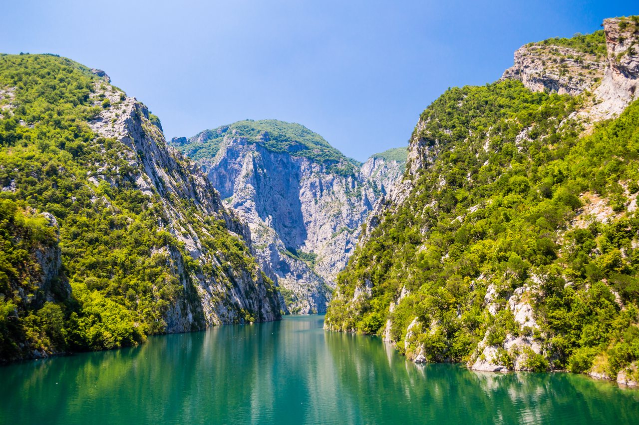
Meer · Shkodër County
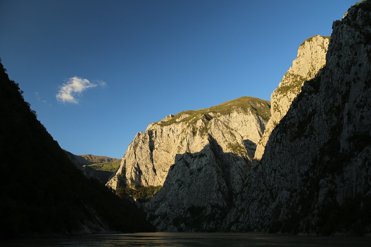
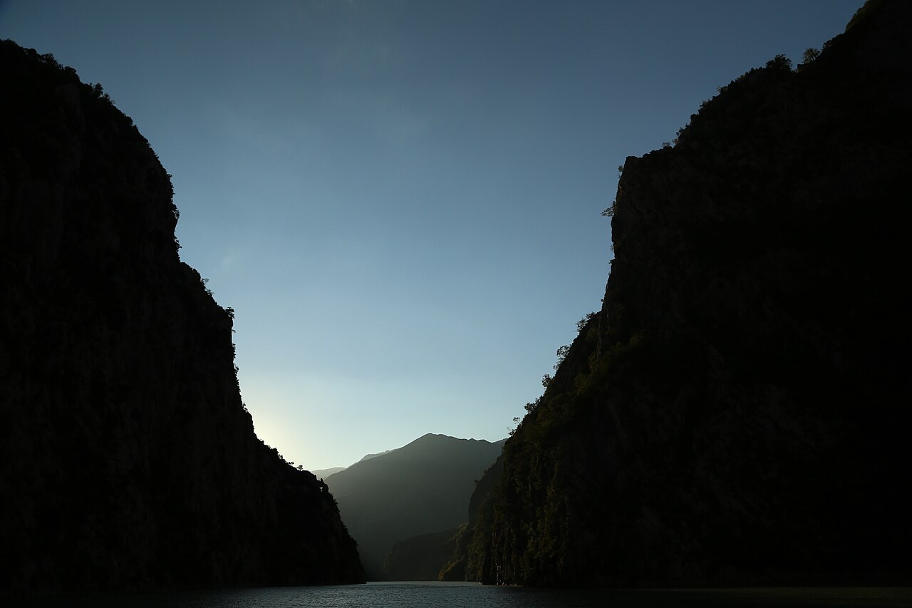
A 34 km reservoir in a gorge so narrow the ferry crossing is treated as a scenic journey in its own right.
Opslaan
Lake Koman is not a natural lake — it was made by a dam on the Drin river. The water fills a very narrow canyon, and a passenger ferry runs along it. Many travellers take the boat just for the scenery on the way to Valbonë.
Lake Koman is not a natural lake — it was made by a dam on the Drin river. The water fills a very narrow canyon, and a passenger ferry runs along it. Many travellers take the boat just for the scenery on the way to Valbonë.
Stad · Shkodër
The cultural capital of the north: a lake, a fortress, a bicycle city and a Catholic heartland.
Rivier · Shkodër
A tributary of the Drin above Koman, reached by boat and often called Albania's Thailand.
Energielocatie · Kukës
The uppermost and largest of the Drin dams, creating a reservoir shared with Kosovo.
Energielocatie · Shkodër
The lowest station of the Drin cascade, just upstream of Shkodër.
Energielocatie · Shkodër
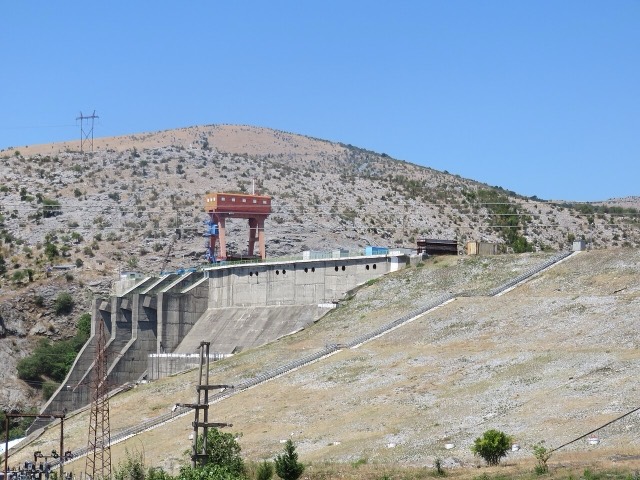
The middle station of the Drin cascade, and the dam that created Lake Koman.
Veerbootroute · Shkodër
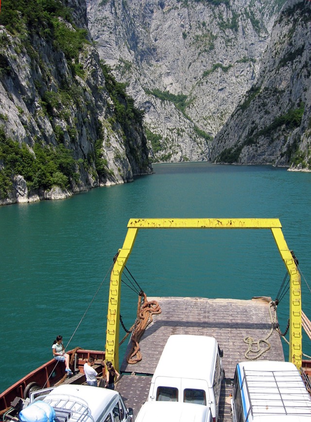
A working transport link through a gorge that has become one of Albania's best-known journeys.
Rivier · Shkodër
Albania's longest river and the backbone of its electricity system, dammed three times in the north.
Industrie
Electricity almost entirely from hydropower — which makes supply depend on rainfall.
Iets onjuist op deze pagina? Correcties zijn welkom en worden gecontroleerd aan de hand van de bronregistratie. Laat ons weten wat onjuist is en, indien mogelijk, waar het juiste cijfer vandaan komt.