
도시 · Shkodër
Shkodër
The cultural capital of the north: a lake, a fortress, a bicycle city and a Catholic heartland.
모든 주, 모든 해안, 모든 세기
안내 보기
알바니아가 처음이신가요? 모든 페이지는 세부 내용이 시작되기 전에, 열 살짜리 아이도 이해할 수 있는 평이한 설명으로 시작됩니다.
전문가 보기
기본 내용은 이미 알고 계신가요? 간단한 설명은 숨기고 핵심 내용만 바로 확인하세요. 이것이 기본 설정입니다.
호수 · Shkodër County
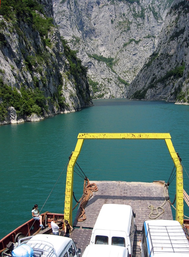
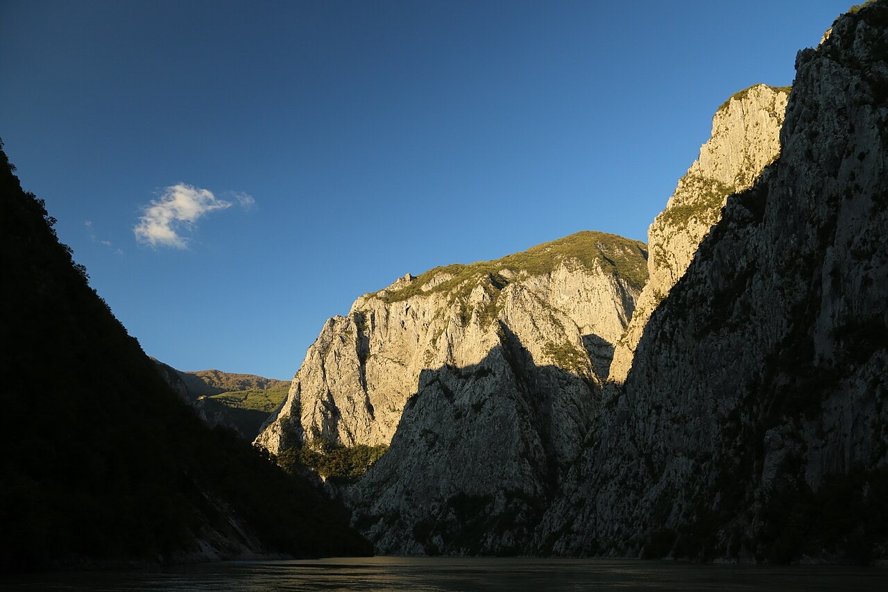
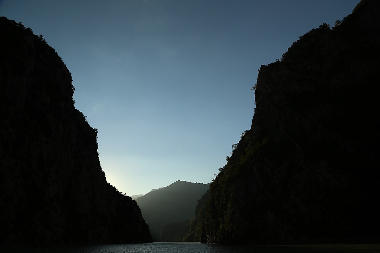
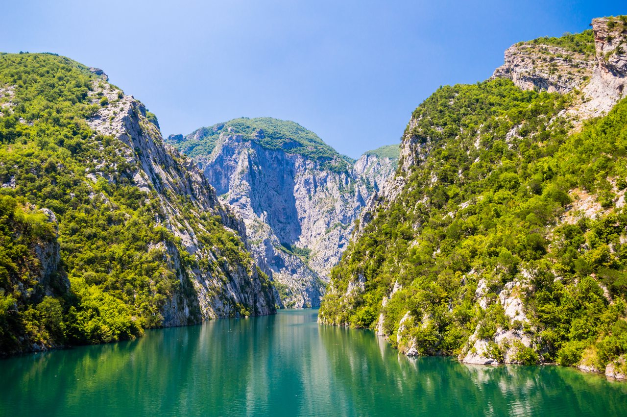
A 34 km reservoir in a gorge so narrow the ferry crossing is treated as a scenic journey in its own right.
저장
Lake Koman is not a natural lake — it was made by a dam on the Drin river. The water fills a very narrow canyon, and a passenger ferry runs along it. Many travellers take the boat just for the scenery on the way to Valbonë.
Lake Koman is not a natural lake — it was made by a dam on the Drin river. The water fills a very narrow canyon, and a passenger ferry runs along it. Many travellers take the boat just for the scenery on the way to Valbonë.
도시 · Shkodër
The cultural capital of the north: a lake, a fortress, a bicycle city and a Catholic heartland.
강 · Shkodër
A tributary of the Drin above Koman, reached by boat and often called Albania's Thailand.
에너지 시설 · Kukës
The uppermost and largest of the Drin dams, creating a reservoir shared with Kosovo.
에너지 시설 · Shkodër
The lowest station of the Drin cascade, just upstream of Shkodër.
에너지 시설 · Shkodër
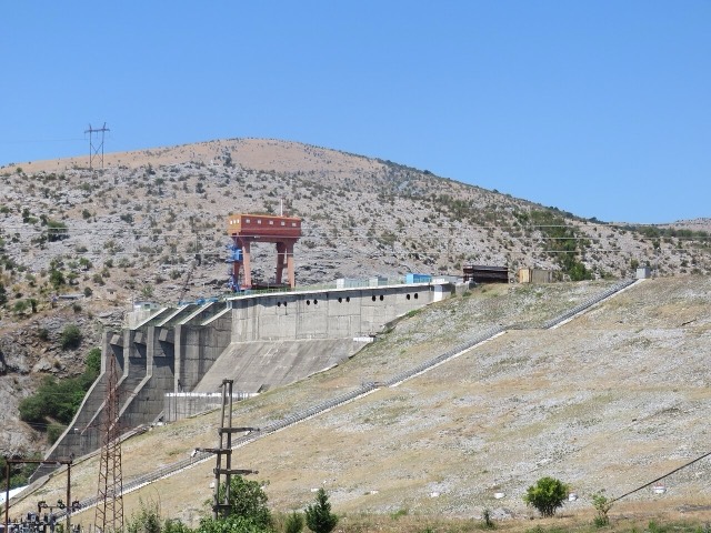
The middle station of the Drin cascade, and the dam that created Lake Koman.
페리 노선 · Shkodër
A working transport link through a gorge that has become one of Albania's best-known journeys.
강 · Shkodër
Albania's longest river and the backbone of its electricity system, dammed three times in the north.
산업
Electricity almost entirely from hydropower — which makes supply depend on rainfall.
이 페이지에 오류가 있습니까? 수정 제안을 환영하며, 출처 기록과 대조하여 검토합니다. 잘못된 내용과 가능하다면 올바른 수치의 출처를 알려 주십시오.