机场 · Tiranë
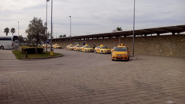
Tirana International Airport
Albania's principal airport, 17 km north-west of Tirana — for years the country's only functioning civil airport.
每个县、每段海岸、每个世纪
引导视图
初次了解阿尔巴尼亚?每个页面均以通俗易懂的说明开篇——即便是十岁的孩子也能读懂——随后再展开详细内容。
专业视图
您已掌握基础知识。直接进入正题,简明解释默认隐藏。此为默认模式。
Airports, ports, ferry routes, roads, rail and the energy system.
This section covers how people and goods move around Albania, and where its electricity comes from.
机场 · Tiranë
Albania's principal airport, 17 km north-west of Tirana — for years the country's only functioning civil airport.
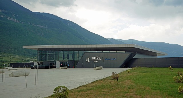
机场 · Kukës
A small northern airport that opened to commercial flights in 2021, mainly serving the diaspora.
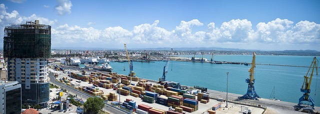
港口 · Durrës
The country's main commercial and passenger port, handling the large majority of Albanian seaborne trade.
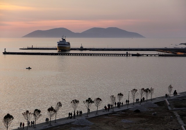
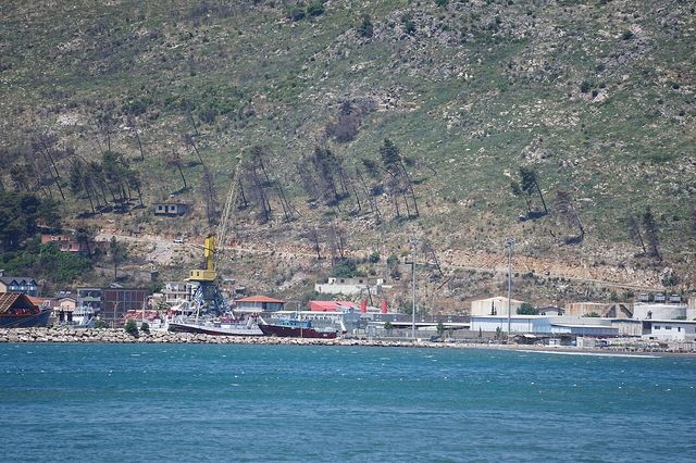
港口 · Vlorë
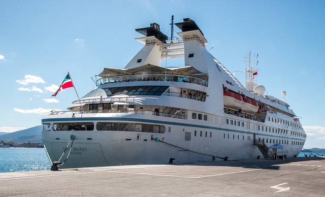
A small passenger port whose Corfu crossings are the busiest sea route into southern Albania.
渡轮航线 · Shkodër
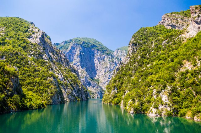
A working transport link through a gorge that has become one of Albania's best-known journeys.
公路 · Kukës
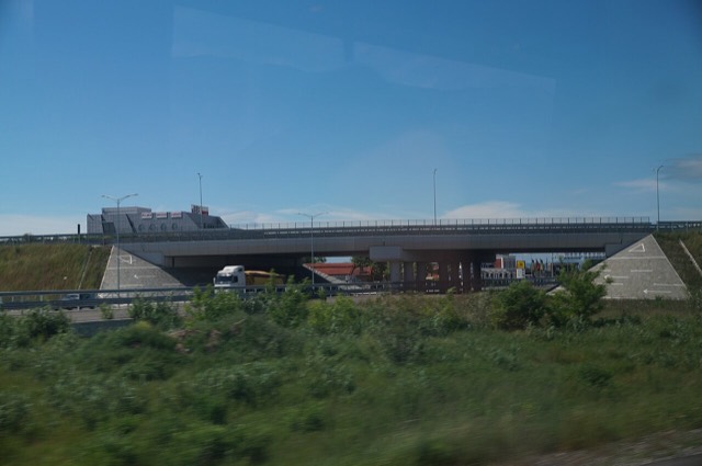
The Durrës–Kukës–Morina motorway, including the 5.6 km Kalimash tunnel, linking Albania to Kosovo.
公路 · Durrës
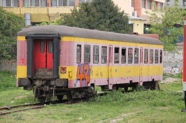
A narrow, largely dormant network built after 1947; a rebuilt Durrës–Tirana line is the main active project.
公路 · Vlorë
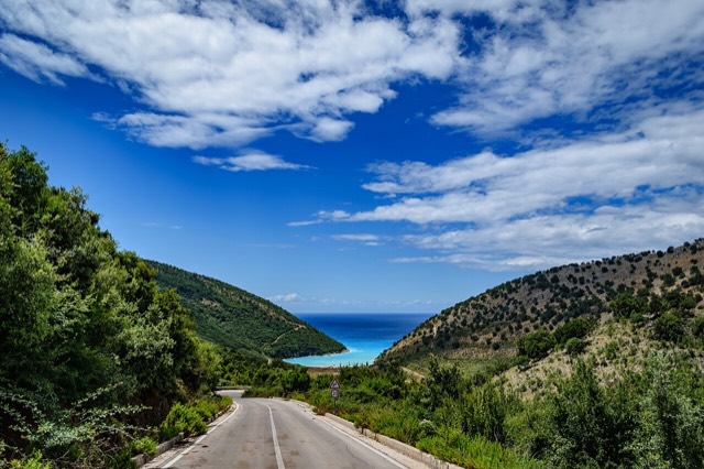
The single road along the Albanian Riviera, over the Llogara pass and down the Ionian coast.
能源设施 · Kukës
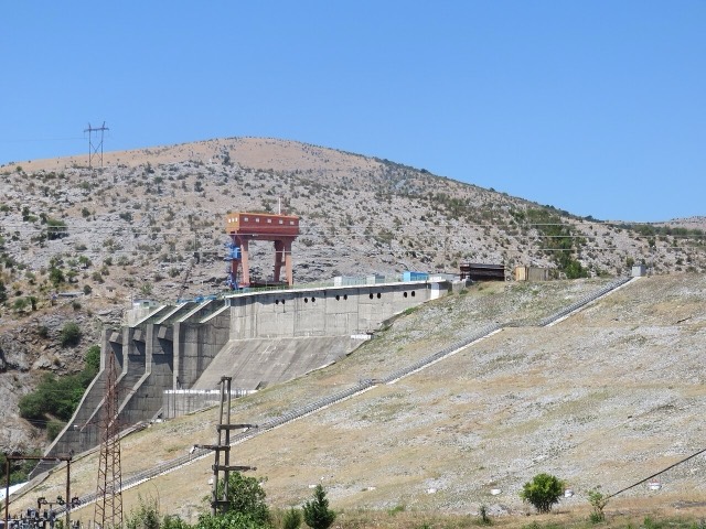
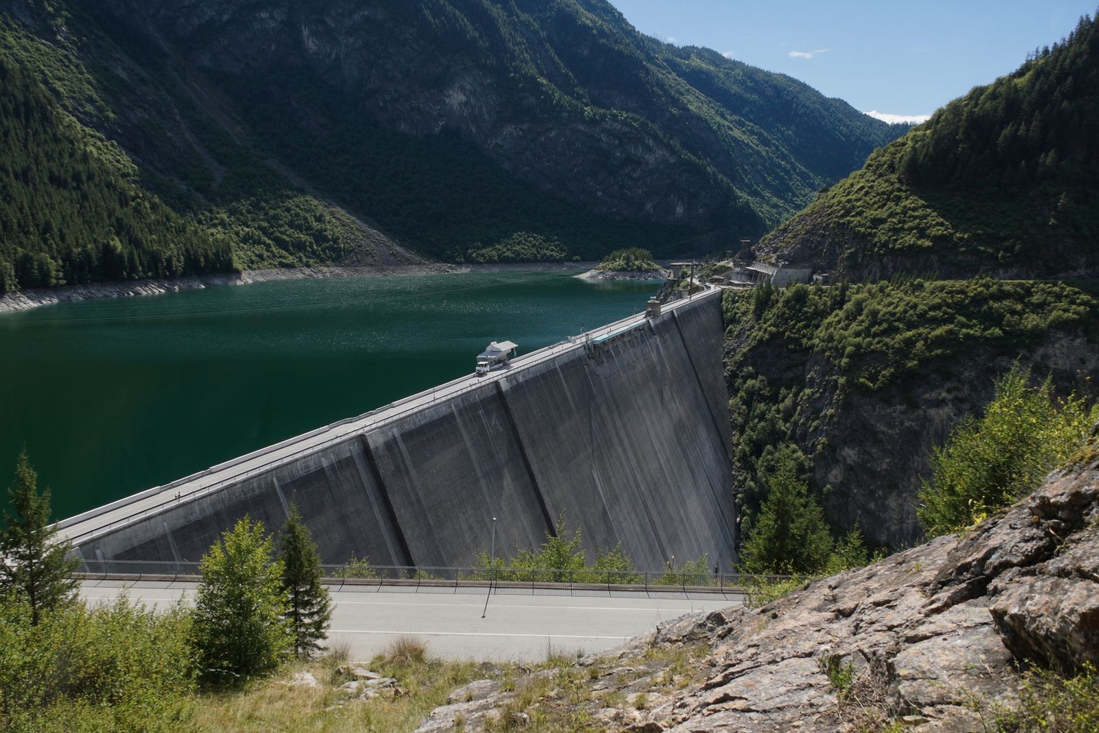
The uppermost and largest of the Drin dams, creating a reservoir shared with Kosovo.
能源设施 · Fier
The 878 km gas pipeline from the Greek border to Italy, of which 215 km crosses Albania.
能源设施 · Shkodër
The lowest station of the Drin cascade, just upstream of Shkodër.
能源设施 · Shkodër
The middle station of the Drin cascade, and the dam that created Lake Koman.