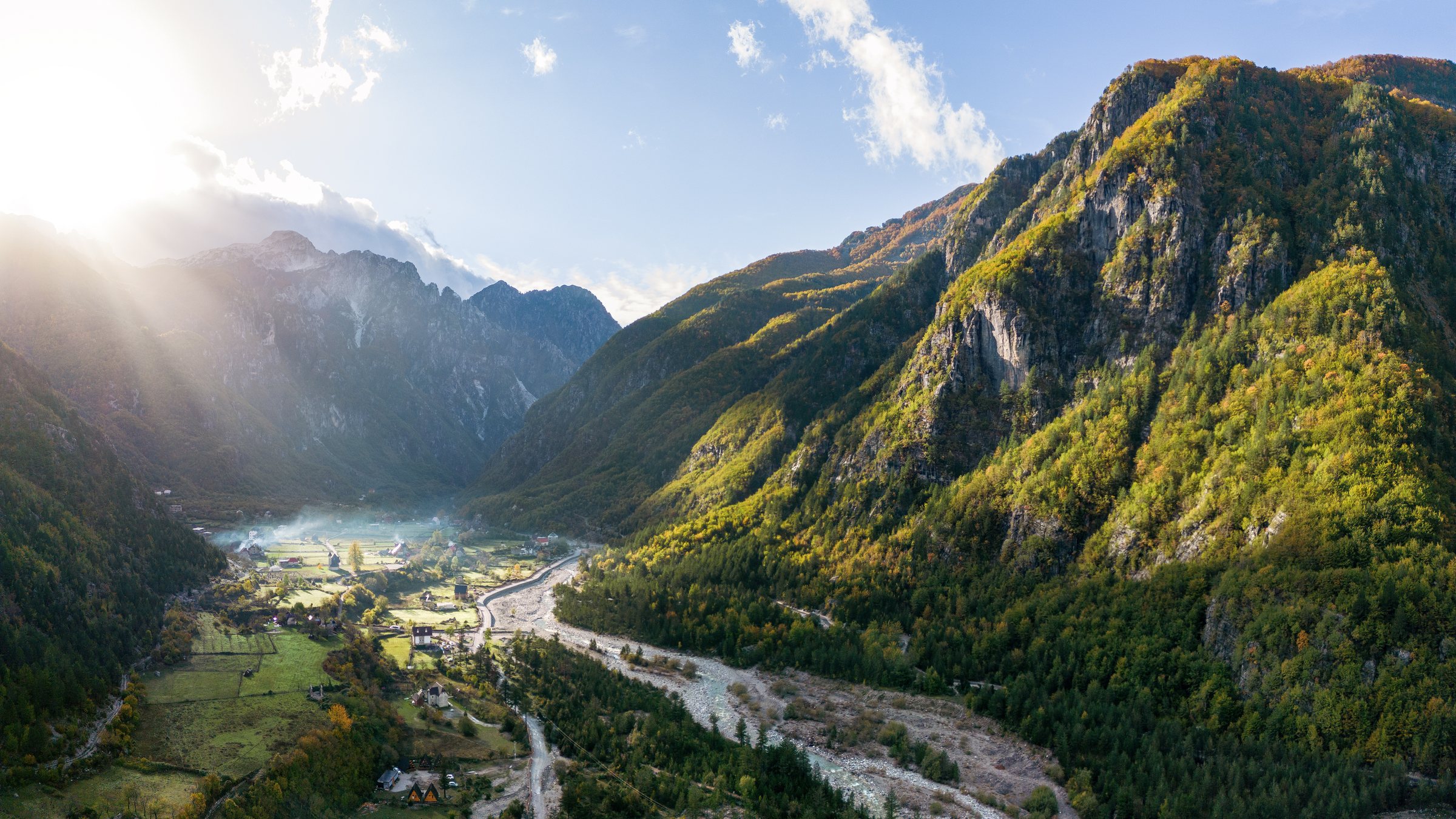
保护区 · Shkodër
Theth National Park
The glacial valley park at the heart of the Albanian Alps, merged into a wider protected complex in 2022.
每个县、每段海岸、每个世纪
引导视图
初次了解阿尔巴尼亚?每个页面均以通俗易懂的说明开篇——即便是十岁的孩子也能读懂——随后再展开详细内容。
专业视图
您已掌握基础知识。直接进入正题,简明解释默认隐藏。此为默认模式。
指南
Albania's best-known walk: roughly 17 km over a 1,795 m pass, six to eight hours, June to October.
保存
The walk between Theth and Valbonë crosses a high pass in the Albanian Alps. It takes most of a day, about 17 kilometres, and climbs steeply. Most people do it between June and October.
The walk between Theth and Valbonë crosses a high pass in the Albanian Alps. It takes most of a day, about 17 kilometres, and climbs steeply. Most people do it between June and October.
The path crosses the Valbona pass at about 1,795 m. It is roughly 17 km end to end and takes most walkers six to eight hours including stops. It is waymarked and, in season, busy enough that you are rarely alone.
Walked from Theth the climb is at the start and steeper; from Valbonë the ascent is longer but more gradual. Either direction works.
This is a mountain crossing, not a stroll. There is sustained ascent, loose ground in places, no shade for long sections, and one café at the pass in season. Walking boots, two litres of water per person, sun protection and a warm layer are the minimum.
It is not technical and it does not need a guide in good conditions. In poor weather, or outside the season, it needs both judgement and local advice.
Most people walk it one way and move their luggage by road, which means a long transfer round the mountains via Fierzë. Guesthouses at both ends arrange this routinely.
The standard circuit is Shkodër → Koman ferry → Fierzë → Valbonë → walk → Theth → Shkodër. Book accommodation ahead in July and August.
Roughly mid-June to mid-October. Snow can lie on the pass into early summer and return in October. Guesthouses in both valleys largely close for winter.
保护区 · Shkodër
The glacial valley park at the heart of the Albanian Alps, merged into a wider protected complex in 2022.
保护区 · Kukës
A broad U-shaped glacial valley of white gravel and beech forest under the Alps' highest peaks.
山脉 · Shkodër
The limestone wall of the far north — locally the Accursed Mountains — shared with Montenegro and Kosovo.
城镇 · Kukës
The road head for the Valbona valley, named after a guerrilla leader of the 1920s.
村庄 · Shkodër
A glacial valley village in the Albanian Alps: a lock-in tower, a waterfall, and one end of the country's best-known trek.
指南
The Alps, the Koman ferry and the Shkodër lake country: the part of Albania least like the coast.
指南
June and September give you the coast without the July–August crush; May and October are the best value; the mountains have a…
本页内容有误? 欢迎提交更正意见,所有意见均会与原始记录核对。请告知错误所在,如能提供正确数据的出处,请一并注明。