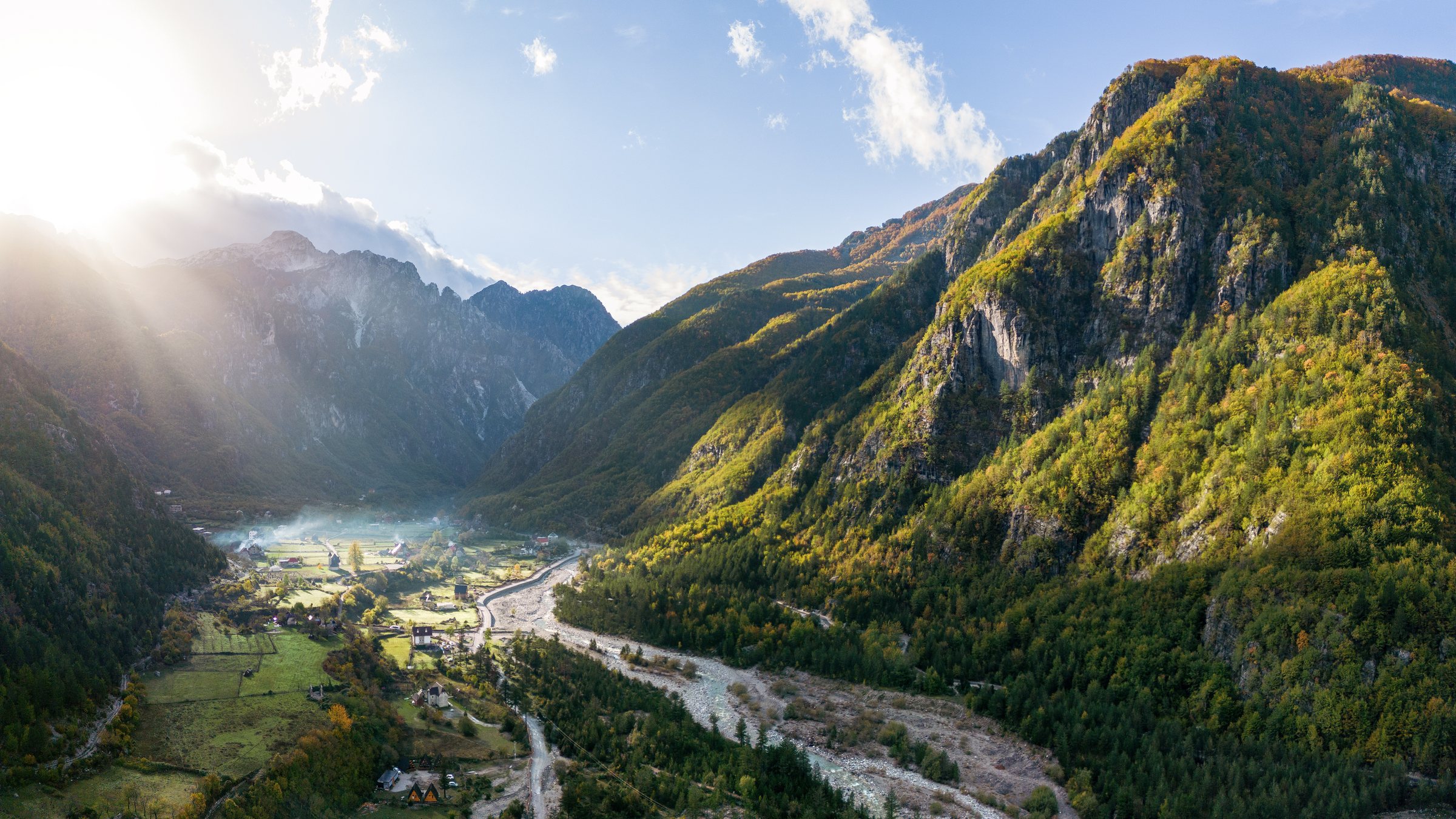
保護区域 · Shkodër
Theth National Park
The glacial valley park at the heart of the Albanian Alps, merged into a wider protected complex in 2022.
すべての県、すべての海岸、すべての世紀
ガイドビュー
アルバニアを初めて知る方へ。各ページは、詳細に入る前に、10歳の子どもにも読み聞かせられる平易な説明から始まります。
エキスパートビュー
基本知識はすでにお持ちの方向け。平易な説明を非表示にし、内容を直接表示します。これがデフォルトです。
ガイド
Albania's best-known walk: roughly 17 km over a 1,795 m pass, six to eight hours, June to October.
保存
The walk between Theth and Valbonë crosses a high pass in the Albanian Alps. It takes most of a day, about 17 kilometres, and climbs steeply. Most people do it between June and October.
The walk between Theth and Valbonë crosses a high pass in the Albanian Alps. It takes most of a day, about 17 kilometres, and climbs steeply. Most people do it between June and October.
The path crosses the Valbona pass at about 1,795 m. It is roughly 17 km end to end and takes most walkers six to eight hours including stops. It is waymarked and, in season, busy enough that you are rarely alone.
Walked from Theth the climb is at the start and steeper; from Valbonë the ascent is longer but more gradual. Either direction works.
This is a mountain crossing, not a stroll. There is sustained ascent, loose ground in places, no shade for long sections, and one café at the pass in season. Walking boots, two litres of water per person, sun protection and a warm layer are the minimum.
It is not technical and it does not need a guide in good conditions. In poor weather, or outside the season, it needs both judgement and local advice.
Most people walk it one way and move their luggage by road, which means a long transfer round the mountains via Fierzë. Guesthouses at both ends arrange this routinely.
The standard circuit is Shkodër → Koman ferry → Fierzë → Valbonë → walk → Theth → Shkodër. Book accommodation ahead in July and August.
Roughly mid-June to mid-October. Snow can lie on the pass into early summer and return in October. Guesthouses in both valleys largely close for winter.
保護区域 · Shkodër
The glacial valley park at the heart of the Albanian Alps, merged into a wider protected complex in 2022.
保護区域 · Kukës
A broad U-shaped glacial valley of white gravel and beech forest under the Alps' highest peaks.
山脈 · Shkodër
The limestone wall of the far north — locally the Accursed Mountains — shared with Montenegro and Kosovo.
町 · Kukës
The road head for the Valbona valley, named after a guerrilla leader of the 1920s.
村 · Shkodër
A glacial valley village in the Albanian Alps: a lock-in tower, a waterfall, and one end of the country's best-known trek.
ガイド
The Alps, the Koman ferry and the Shkodër lake country: the part of Albania least like the coast.
ガイド
June and September give you the coast without the July–August crush; May and October are the best value; the mountains have a…
このページに誤りがありますか? 修正は歓迎しており、原典記録と照合して確認します。何が誤っているか、また可能であれば正しい数値の出典をお知らせください。